| Duration | 5 days |
| Distance | 37km |
| Standard | easy |
| Season | June-October |
| Start/Finish | Tarashing |
| Zone and Permit | open, no permit |
| Public Transport | yes |
| Summary | A quick, easy approach through lovely meadows leads to the base camp of Nanga Parbat’s enormous Rupal Face. |
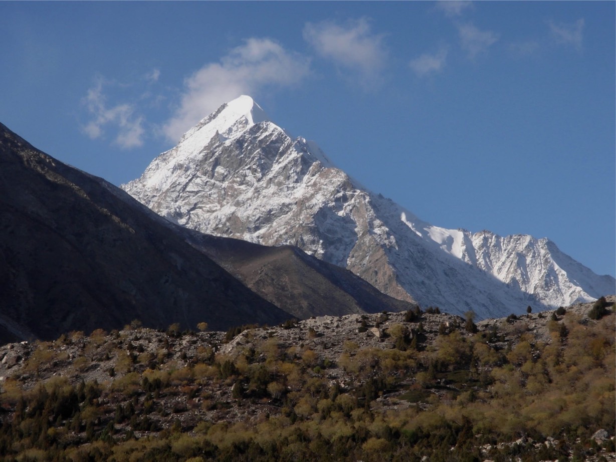
Nanga Parbat’s awesome south, or Rupal, face rises 4572m from the floor of the Rupal Gah, creating the greatest vertical rise from base camp to summit of any peak. The easy trails and two short nontechnical glacier crossings bring you directly beneath it for breathtaking close- up views. The Rupal Gah, although popular, is less frequently visited than Fairy Meadow.
Planning
Maps
The Deutscher Alpenverein (DAV) 1:50,000 topographic map Nanga Parbat Gruppe covers the trek.
Guides and Porters
It’s prudent to hire a reputable, licensed guide who is accustomed to dealing with Rupal porters and villagers. Porters come from Tarashing and Chorit, which have decided that an equal number of porters for any part are to be from each village. This holds true even if you have just two porters, and also applies when releasing any porters. Porters, who transport loads on donkeys, ask for a flat rate per stage, including payment for food rations, and expect large parties to buy a goat at Shaigiri.
Stages
It’s six stages total round trip from Tarashing: (1) Herrligkoffer Base Camp; (2) Latobah; (3) Shaigiri; and (4-6) three stages to return via the same route.
NEAREST VILLAGE
Tarashing
Nanga Parbat Tourist Cottage, owned by Mohammed Ashraf, has a large garden. The camping fee, and rooms cost. Hotel Nanga Parbat has a camping fee and rooms cost high.
Unless you organize a Gilgit- Tarashing special hire, it’s necessary to change transport in Astor, or walk from Astor. The narrow jeep road to Astor leaves the KKH at Jaglot, 60Km south of Gilgit and 30Km north of Raikot Bridge, crossing a bridge over the Indus River and heading 40Km south- east up the Astor Valley skirting Nanga Parbat’s north- east flank. Gilgit- Astor jeeps (three to four hours) go all day from Gilgit- Jaglot bus stand on Domyal Link Rd. Gilgit- Astor special hires one way. Astor- Tarashing jeeps takes two hours and special hires takes 15 minutes less.
GETTING TO/FROM THE TREK
For information on transport to/from the trailhead, see Tarashing (p).
The Trek
Day 1 : Tarashing to Herrligkoffer Base camp
5 hours, 10km, 639m Ascent
From Tarashing (2911m), climb the Tarashing (Chhungphar on some maps) Glacier’s lateral moraine, near the village’s north edge, and cross the glacier on a trail. Continue up the gentle valley through Rupal village.
Rising gradually through Rupal’s lush fields, the trail follows the valley’s north side to Herrligkoffer Base Camp (3550m), a beautiful, although much- used, meadow along the Bazhin Glacier’s east margin. A large spring bubbles up here and a huge boulder marks the Kitchen site. The camp site is named after Dr Karl M Herrligkoffer, the leader of eight German expeditions to Nanga Parbat, including the first successful expedition in 1953.
A side trip of several hours up this ablation valley leads to a point on the moraine directly above the Bazhin Glacier and across from the icefall coming from the summit.
Day 2 : Herrligkoffer Base Camp to Latobah
2 hours, 3km, 20m descent
Cross the Bazhin Glacier Over a trail in 1½ hours to reach Latobah (3530m), the broad, level meadows frequented by Rupal herders. Latobah is also known as Tupp Meadows.
Day 3 : Latobah to Shaigiri
4 hours, 5.5Km, 125m ascent
The trail stays to the north of the Rupal Gah, Skirting the terminal moraine and a silty moraine lake. Continue through a series of alluvial fans and skirt the Shaigiri Glacier’s terminal moraine. Just beyond is Shaigiri (3655m), a summer settlement marked by an erratic, a white boulder (Shaigiri in Shina) and more awesome views of the south face.
Days 4-5 : Shaigiri to Tarashing
2 days, 18.5km, 744m descent
Retrace steps to Tarashing, camping at base camp on Day 4.
