| Duration | 3 days |
| Distance | 29km |
| Standard | moderate |
| Season | June-September |
| Start/Finish | Dũt |
| Zone and Permit | open, no permit |
| Public Transport | no |
| Summary | Shimshal’s oldest summer pastures with awesome views of 7000m peaks and large glacier are just a short walk from the roadhead. |
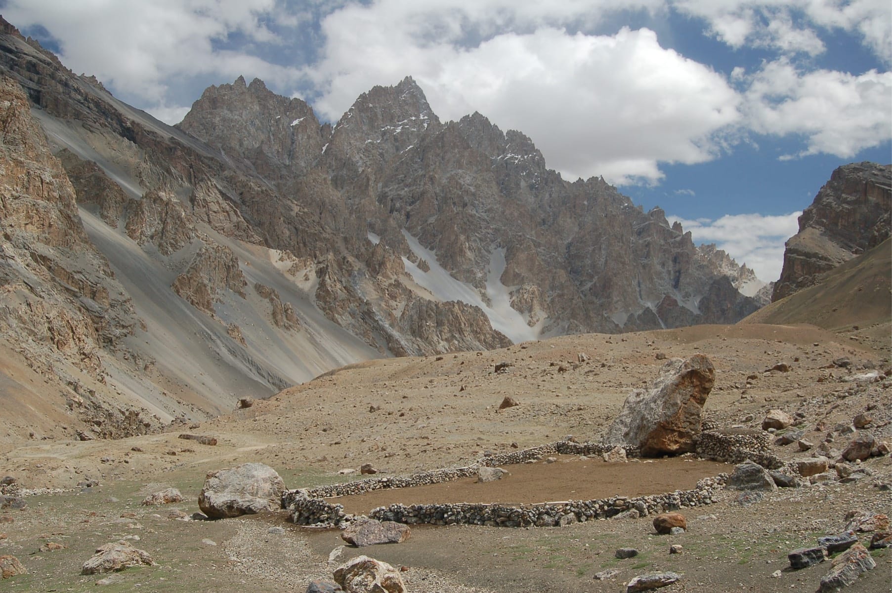
Lupgar (big rock) is an alpine pasture high on a sunny ridge above the Lupgar Glacier. The glacier descends from Lupgar Sar (7200m), and its subsequent surging dark stream joins the Shimshal River at Dũt. This wonderful valley is rarely visited by trekkers, but occasional mountaineers come to attempt Lupgar Sar.
Six Shimshali families tend livestock in Lupgar. They stay at Bospuraghil 1 June to 1 August, when they move to Suraghil where they stay until early October before returning to Shimshal village. This is the quickest trek into the world of Shimshal’s Alpine pastures, and offers big mountain views juts one day from the KKH. The trail is steep, though, and not for the faint of heart.
PLANNING
Maps
The Swiss Foundation for Alpine Research 1:250,000 orographical map Karakoram (Sheet 1) covers the trek.
Stages
It’s six stages total round trip from Dũt: (1) Targeen; (2) Bospuraghil; (3) Suraghil; and (4-6) three stages to return via the same route.
GETTING TO/FROM THE TREK
Passu- Dũt special hires cost Rs 700 (one hour). Beyond Dũt (2600m), the road winds 1km, or a few minutes’ drive, to a level area between the Lupgar and Momhil Rivers. The trailhead is visible along the road before the bridge over the Momhil River. Clear water can usually be found at Dũt in a small pool in the sand along the Lupgar River’s true right bank below the easternmost hut.
The Trek
Day 1 : Dũt to Bospuraghil
4-5 hours, 9km, 1250m ascent
Ascend on a narrow, faint trail into the Lupgar Valley, along the Lupgar River’s true right bank. The trail ascends to pass above a large erosion scar, then becomes extremely faint as it climbs a low-angle Class 1 slab to cross a prominent rock rib. Beyond the rib, reach a cairn. Snowy Dũt Sar is prominent up the Lupgar Valley. The meadows of Lupgar come into view as the river bends west (right). Traverse steadily upward as Lupgar Sar come into view. Cross a broad black scree slope. Continue upward and clamber over and around another Class 2 rock rib, with significant exposure, on a faint, hard-to-follow, thin trail. Then ascend to pass above another large erosion gully, and emerge onto gentler artemisia slopes. Contour, then descend steeply almost to the riverside. Ascend, following the river’s true right bank to a big boulder (3292m). Continue along and enter Targeen, an open area close to the river, with much tamarisk, a few tent platforms and stone-walled shelters. Continue along the river 15 minutes to the several stone-walled shelters (3414m) of Yazmis (glacier’s snout), just below the Lupgar Glacier’s black snout. Clear water is in large pools, emerging from the scree hillside. There is a good view of Qarũn Koh to the north.
Continue upvalley and soon pass the glacier’s snout and follow the eastern ablation valley over moraine rubble on a faint trail. The hillside and the lateral moraine are close at times in this narrow ablation valley. Reach a cairn in 30 to 45 minutes. At the cairn, turn 90 degrees east and ascend the steep gully 15 minutes to the gentle artemisia-covered slopes above. Some juniper trees are scattered on the hillsides. Lupgar Sar’s triple summit fills the views southward, with Dũt Sar to the east. Turn south and head through artemisia and grass, paralleling the glacier, to reach the huts at Bospuraghil (3856m; golden eagle pasture). Bospuraghil has excellent views of Lupgar Sar and Qarũn Koh. Water is brought from the glacier.
Day 2 : Bospuraghil to Lupgar Sar Base Camp
2½-3 hours, 5.5km, 1044m ascent
Continue up the herders’ trail 1½ to two hours to Suraghil (cold pasture), Lupgar’s highest settlement on the grassy ridge above Bospuraghil. One to 1½ hours beyond Suraghil is Lupgar Sar Base Camp (4900m). From the ridge crest you get spectacular views of Lupgar Sar, Mulungutti Sar and Destaghil Sar
Day 3 : Lupgar Sar Base Camp to Dũt
6-7 hours, 14.5km, 2320m descent
Retrace your steps downvalley to Dũt.
