| Duration | 4 days |
| Distance | 46km |
| Standard | demanding |
| Season | Mid-June-September |
| Start | Chirah |
| Finish | Hanuchal |
| Zone and Permit | open, no permit |
| Public Transport | yes |
| Summary | This dramatic close- up traverse along the south flanks of Diran and Phuparash crosses a rugged pass. |
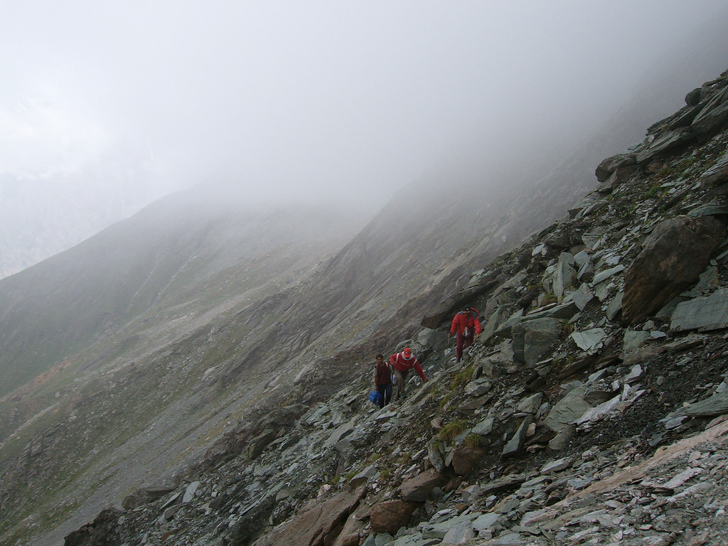
Rakhan Gali (4548m) is a pass connecting the Bagrot and Haramosh valleys that skirts the southern ramparts of the Rakaposhi- Haramosh Range. The remarkably scenic route is seldom used because people prefer to travel by vehicle along the roads between villages in these valleys.
Planning
maps
The Swiss Foundations for Alpine Research 1:250,000 orographical map Karakoram (Sheet 1) covers the trek.
Guides and Porters
Porters ask for per stage, plus the payment for food rations. Porters do not ask for the clothing and equipment allowance. Porters from Bagrot only carry loads between Chirah and Rakhan Gali, which is the boundary of Bagrot’s territory, and Haramosh porters carry between Rakhan Gali and the Gilgit- Skardu road. Large parties need to change porters, which can be prearranged by sending a message to Khaltaro, but smaller parties may be able to avoid it.
GETTING TO/FROM THE TREK
To the Start
See the Diran Base Camp trek
From the Finish
Sassi- Gilgit wagons; vehicles travelling along the Gilgit- Skardu road are fairly frequent.
The Trek
Day 1 : Chirah to Gargoh
4- 5 hours, 12km, 800m ascent
From Chirah (2700m), a trail climbs the east side of the valley above the Hinarche Glacier, then drops to the Burche Glacier’s silty outwash stream. Cross the footbridge and ascend through Sat village, whose fields and forests hug the Burche Valley’s north side. Continue to Dar, a summer settlement two to three hours from Chirah, and descend to the glacier. The trail moves onto the glacier and in 1.5Km it divides. One branch heads east to Rakhan Gali and the other heads north off the glacier. The north branch follows a clear stream through a pretty valley busy with logging activity. Beyond this valley are pastures and glaciers at the base of Miar peaks (6824m). From these pastures, it’s also possible to day hike or camp on the ridge rising to the north. Continue south along the east branch of the trail two Hours over moraine to Gargoh (3500m). These herders’ huts are along the Burche Glacier’s south margin, in a level area with trees and plentiful water.
Day 2 : Gargoh to Agurtsab Dar
2-3 hours, 5km, 450m ascent
Continue south and east up the Gargoh Valley two to three hours to Agurtsab Dar (3950m), a good high camp with a clear stream. This pasture has no herders’ huts.
Day 3 : Agurtsab Dar to Darchan
5- 6 hours, 14km, 598m ascent, 1348m descent
Agurtsab Dar to the top of Rakhan Gali takes three hours, following the stream to the pass. The grass ends 1½ hours above Agurtsab Dar after which the route ascends over tedious scree and rock. Expert to find snow in the saddle. From Rakhan Gali (4548m), descend very steeply two to three hours through the pastures of Ber (3400m) and one to 1½ hours farther down in this sylvan valley to the summer settlement of Darchan (3200m).
Day 4 : Darchan to Hanuchal
6- 7 hours, 15km, 1600m descent
Continue down the Darchan Gah on a trail to Khaltaro (2500m), the main village, three hours from Ber. The main trail continues three to four hours to Hanuchal (1600m) on the Gilgit-Skardu road, just west of Sassi.
Feature Image by Muhammad Baqa Sheikh
