| Duration | 3 days |
| Distance | 48km |
| Standard | moderate |
| Season | Mid-June-September |
| Start | Khasumik |
| Finish | Shigar |
| Zone and Permit | open, no permit |
| Public Transport | yes |
| Summary | The best trekking route between Khaplu and Skardu gently ascends the attractive Thalle Lungma and crosses a snow-covered pass, emerging in the dramatic expanse of the Shigar Valley. |
The large and green Thalle Lungma leads north-west from the Shyok River, 15km west of Khaplu and 85km east of Skardu. The upper valley divides, and the north branch leads over the infrequently crossed Tusserpo La (5084m), while the south branch leads over the easier Thalle La (4572m). Both passes lead to the Bauma Lungma, which runs south-west to Shigar. The British, who used the route between 1891 and 1947, preferred the Thalle La between Skardu and Khaplu, as it offered grazing for their pack animals.
The Thalle La, one of the few non-glaciated passes and one of Baltistan’s easiest, lends itself to backpacking. It can be crossed in either direction, and the Shigar trailhead is easily reached from Skardu. Because many trekkers use the Thalle La as a return trek from Hushe or Khaplu, the description below is from east to west. Early in the season, expect much snow on Thalle La’s east side, and even more on Tusserpo La.
PLANNING
Maps
The Swiss Foundation for Alpine Research 1:250,000 orographical map Karakoram (Sheet 1) and Karakoram (Sheet 2) cover the trek. Doghoni isn’t labeled, and Khasumik is labeled as Khusumik.
Guides and Porters
The trail over the Thalle La is not hard to find, so hiring someone is optional. Because the higher and harder Tusserpo La is infrequently crosses, hiring someone is recommended. Porters ask for a flat rate of Rs 220 per stage, including payment for food rations.
Stages
During the British era, the 60km from Shigar to Doghoni over the Thalle La was three stages. Now, porters ask for as many as seven stages. Negotiate carefully; seven is probably too many, but three is not enough.
GETTING TO/FROM THE TREK
To the start
An unsealed road goes up the Thalle Lungma to the large village of Khasumik and beyond to the open pasture of Thalle Brok (shown as Bukma on maps). Skardu-Khasumik jeeps and special hires. Khaplu-Khasumik special hires.
The least expensive way is to get off any NATCO or Mashabrum Tours bus a Doghoni Bridge west of Khaplu along the Skardu-Khaplu road and walk a day to Khasumik. The Skardu-Doghoni Bridge, and Khaplu-Doghoni Bridge and on NATCO and on Masherbrum Tours. Cross the bridge to the Shyok River’s true right bank and Doghoni, the first village on the Thalle Lungma’s west side at the valley’s mouth. Khaplu-Doghoni jeeps. From Hushe, you can walk downvalley to Saling, then along the lesser-used unsealed road along the Shyok River’s north bank to Doghoni in one day.
From the Finish
A NATCO bus departs Skardu, from near Hussaini Chowk, for Shigar, returning in the later afternoon. Jeeps depart from the alley near Skardu’s Hussaini Chowk for Shigar in the morning, also returning in the afternoon. Skardu-Shigar special hires.
THE TREK
Day 1 : Khasumik to Thalle Camp
4-5 hours, 16km, 950m ascent
A wide track continues beyond Khasumik (2900m) to Thalle Brok, where another route leads south-west over the Kiris Pass to Kiris village along the Shyok River. Continue north-west up the Thalle Lungma one hour to Olmo, the highest settlement. At the herders’ settlement of Dubla khan, two hours above Olmo, the trail splits. The trail to Tusserpo La continues north-west, but follow the trail to Thalle La that branches south-west. One hour beyond Dubla Khan is Thalle Camp (3850m), another herder’s settlement, along a clear stream.
Day 2 : Thalle Camp to Daserpa
6-7 hours, 16km, 722m ascent, 1072m descent
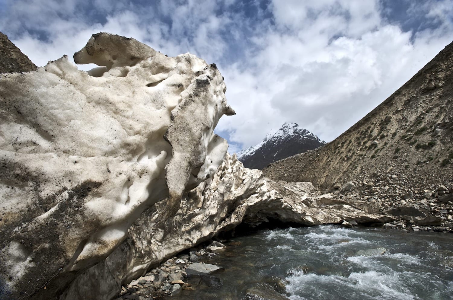
Continue on a good trail through pretty pastures along the stream. Near the pass, the grass ends and the trail becomes rocky. Thalle La (4572m), two hours from camp, is marked by a large cairn and has a permanent snowfield on its west side. A steep and snow-covered rocky peak rises dramatically south of the pass. Back to the east is a magnificent view of high snowy peaks on the ridge separating the Thalle and Hushe valleys. To the west are the distant peaks above Shigar Valley. Descend the snow slope (a fine glissade) and continue through dzo pastures to herders’ huts at Daserpa (3500m), four hours from the pass.
Day 3 : Daserpa to Shigar
5-6 hours, 16km, 1171m descent
Continue downstream one hour through stands of cedar to herders’ huts at Baumaharel, where the stream from the Thalle La joins the main Bauma Lungma and the track from the Tusserpo La. The good trail down the Bauma Lungma leads in four hours to Shigar (2329m).
