

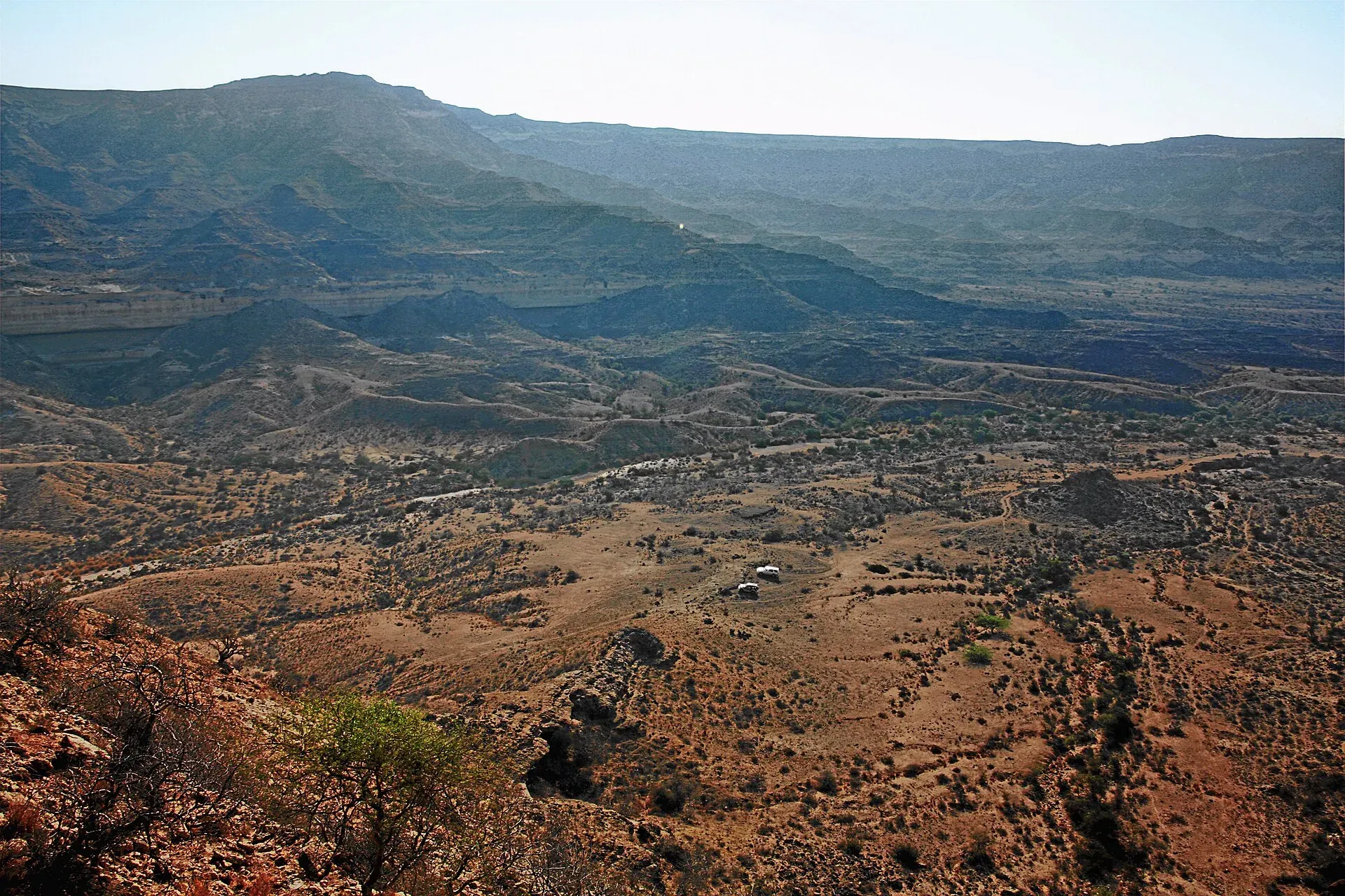
Photo: Shah Murad Aliani, with thanks · CC BY-SA 2.0 · via Wikimedia Commons · temporary stand-in photo

Kirthar Range
A limestone range of about 310 km along the Sindh-Balochistan border, home to Kirthar National Park. Gorakh Hill (1,734 m) is the best-known hill station.
Overview
The Kirthar Range marks the border between Sindh and Balochistan. It runs about 310 km from the Mula River to Cape Monze, covering around 9,000 square km. Its peaks rise in parallel north-south ridges.
Height
Zardak Peak is given as the highest. Wikipedia's Kirthar article gives it as 2,260 m in its summary and 2,895 m in its peak list, and the article on Zardak Peak gives 2,267 m. We use about 2,260 m; the 2,895 m figure appears once and has no survey behind it. Drakhel Hill is reported at about 2,479 m. In Sindh, the highest point is Barugh Hill (about 2,151-2,171 m). Kutte-ji-Kabar is about 2,100 m, and Gorakh Hill is 1,734 m.
Geology and climate
The ridges are limestone over middle-Eocene shale. Peaks above about 1,700 m get occasional heavy winter snow.
What to see
- Kirthar National Park (3,087 km2, declared in 1974, run by the Sindh Wildlife Department), known for the chinkara gazelle, urial and Sindh ibex.
- Gorakh Hill, Sindh's hill station, about 94 to 95 km north-west of Dadu. Wikipedia gives its height as 1,734 m in most places but 2,342 m in its lead, so treat the height as approximate.
- Ranikot Fort, with a wall about 30 km long, according to The Express Tribune. Two runners covered only 14 km on their first day of an attempt in December 2013, so the full circuit is a long, multi-day effort.
- Twenty-one prehistoric sites and the Taung tombs are recorded in the range.
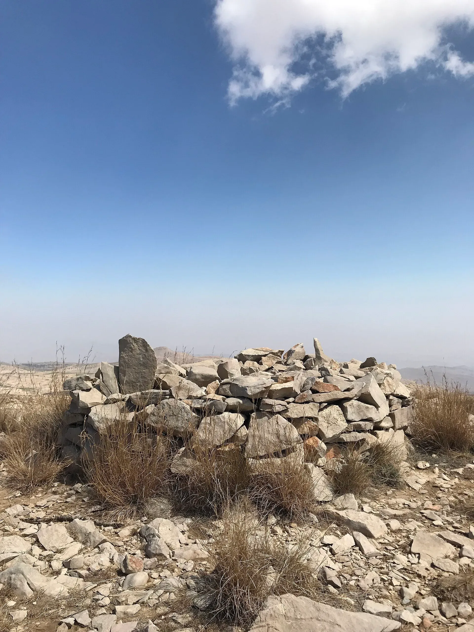
Photo: Shehzad.abbasi, with thanks · CC BY-SA 4.0 · via Wikimedia Commons · temporary stand-in photo

When to go
Best from November to February (estimate). Summer temperatures can pass 45 degrees C.
Good to know
- Gateways: Karachi, Dadu and Jamshoro.
- Government advice for parts of Sindh is more cautious than for others. Check current advice.
Geology
Parallel north-south ridges, with limestone on top and middle-Eocene shale in the middle and south.
Notable peaks
Sources and last checked
Last checked Confidence medium5 sources4 still to check
- Last checked
- Method
- Desk research from published sources
- Confidence
- medium
- Checked by
- trek.pk research team
Researched from published sources; not yet checked on the ground by our team. Spot something out of date? Report a mistake.
Sources
- Kirthar Mountains · Wikipedia · checked
- Gorakh Hill · Wikipedia · checked
- Ranikot Fort wall run report · The Express Tribune · checked
- Kirthar National Park · Wikipedia · checked
- Zardak Peak · Wikipedia · checked
Still to be checked on the ground (4)
- Zardak Peak height: Wikipedia pages give 2,260 m and 2,267 m (and 2,895 m once); no survey or official source found
- Season dates (November to February) are an estimate
- Park access rules, entry fees and security: Wikipedia has none; no Sindh Wildlife Department page was reached
- Gorakh Hill height: Wikipedia gives both 1,734 m and 2,342 m