

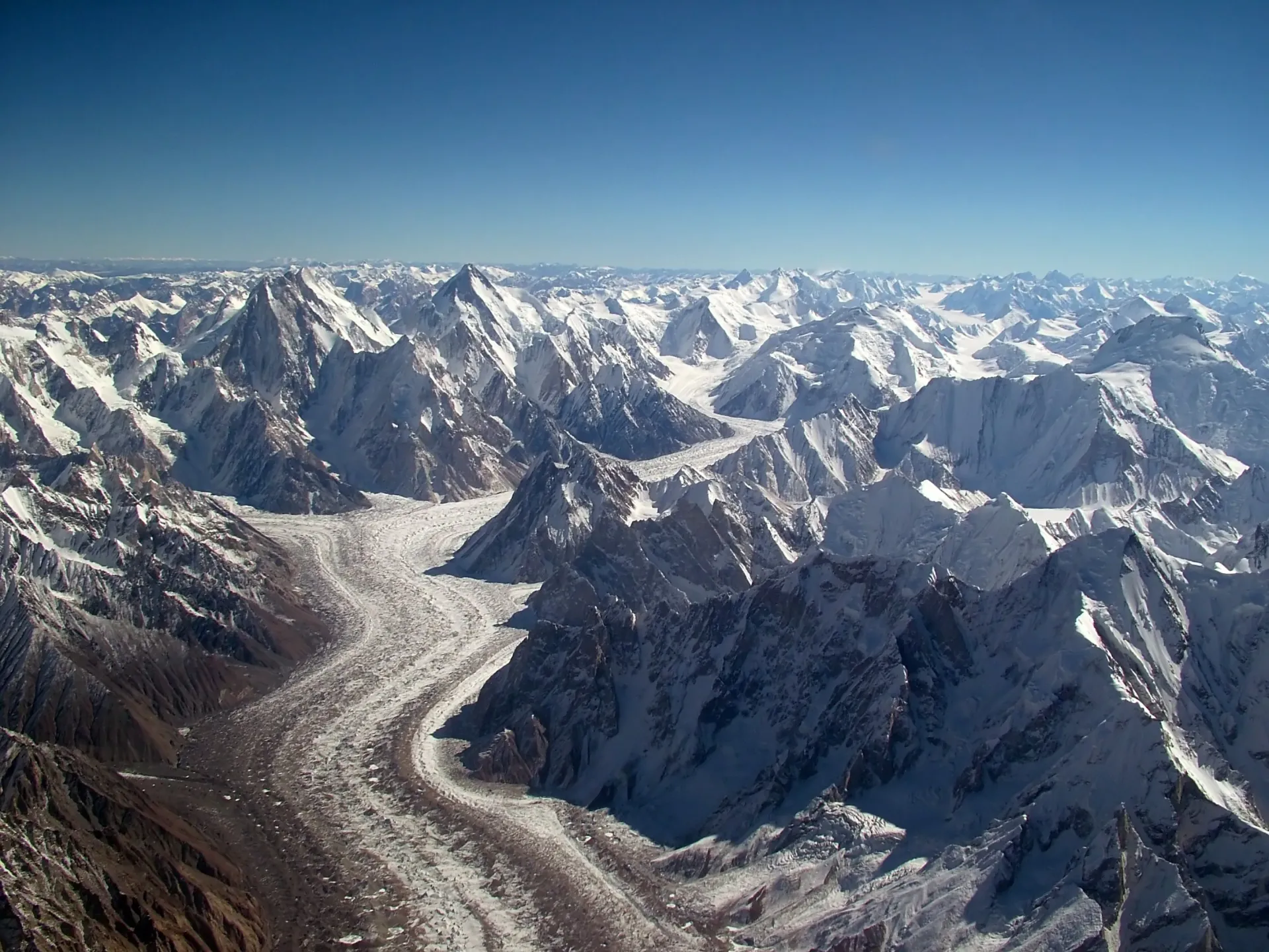
Photo: Guilhem Vellut, with thanks · CC BY-SA 2.0 · via Wikimedia Commons · temporary stand-in photo
Mountain Ranges
A guide to Pakistan's 15 mountain ranges, from the Karakoram, Himalaya and Hindu Kush giants to the Salt Range, Sulaiman, Kirthar and Makran: highest peaks, character and where to go.
Key facts
- Five of the world's 14 eight-thousanders: K2, Nanga Parbat, Gasherbrum I and II, Broad Peak
- 108 peaks above 7,000 m and more than 7,000 glaciers
- Three ranges meet near Jaglot
- Lower ranges of the west: Sulaiman, Kirthar, Makran, Chagai
- 15 ranges from the Karakoram to the Salt Range
Overview
Pakistan has mountains in nearly every province. Three of the world's greatest ranges meet in the north, while lower fold ranges run through the west and south. Five of the world's fourteen peaks above 8,000 m stand in Pakistan: K2 (8,611 m), Nanga Parbat (8,126 m), Gasherbrum I (8,080 m), Broad Peak (8,051 m) and Gasherbrum II (8,035 m). The country also has 108 peaks above 7,000 m and more than 7,000 glaciers, more than anywhere except the polar regions. Heights in the sources often differ by a few metres, so treat figures as approximate.
Near the town of Jaglot, about 45 km south-east of Gilgit on the Karakoram Highway, the Karakoram, Himalaya and Hindu Kush are said to meet. It is a good place to stop and look at three ranges in one view.
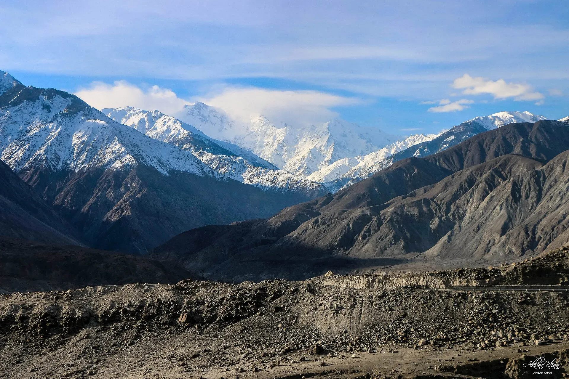
Photo: Akbar Khan Niazi, with thanks · CC BY-SA 4.0 · via Wikimedia Commons · temporary stand-in photo
The great northern ranges
Karakoram. The Karakoram stretches about 500 km, mostly in Gilgit-Baltistan, and reaches into China, India and Tajikistan. It holds K2, three more eight-thousanders (Gasherbrum I and II and Broad Peak), and 18 summits above 7,500 m. Between 28 and 50 per cent of the range is glaciated, making it one of the most heavily glaciated mountain regions outside the poles. Its long glaciers include Baltoro and Biafo, about 63 km each, and Hispar and Batura. The Siachen Glacier (76 km) lies in an area under dispute and is not open to visitors. The Karakoram sits on the plate boundary between India and Eurasia. Classic journeys here include the Baltoro to K2 and Concordia and the Gondogoro La.
Himalaya (western end). Pakistan holds the western end of the Himalaya. Nanga Parbat (8,126 m), the ninth-highest mountain on Earth, anchors it. Hermann Buhl made the first ascent on 3 July 1953. Its Rupal Face rises 4,600 m from base to summit, often described as the highest mountain face in the world. East of Nanga Parbat lies the Deosai Plateau, at an average of about 4,114 m. Fairy Meadows and Rupal are the main trekking bases.
Hindu Kush. The Hindu Kush runs about 800 km through Afghanistan, Pakistan and Tajikistan. In Pakistan its highest summit is Tirich Mir (7,708 m) in Chitral. The range formed from the same plate collision as the Himalaya about 55 million years ago. Passes include Lowari (about 10,200 ft) and Broghil (about 12,460 ft). Chitral, the Kalash valleys and the Broghil valley are the main areas for travellers.
Hindu Raj. This lower range lies between the Hindu Kush and the Karakoram, between Chitral and Gilgit. Its highest peak is Koyo Zom, 6,872 m in most sources (one table gives 6,889 m). Shandur, Lowari and Darkot passes cross it. The name was applied by Colonel H. C. B. Tanner in the late 19th century, who admitted it was not widely known locally.
Pir Panjal. A Lower Himalayan range lying mostly in India, running between the Beas and the Neelum rivers. Its north-western end extends into Pakistan-administered Azad Kashmir. Its best-known summits, such as Indrasan (6,221 m) and Deo Tibba (6,001 m), lie in India.
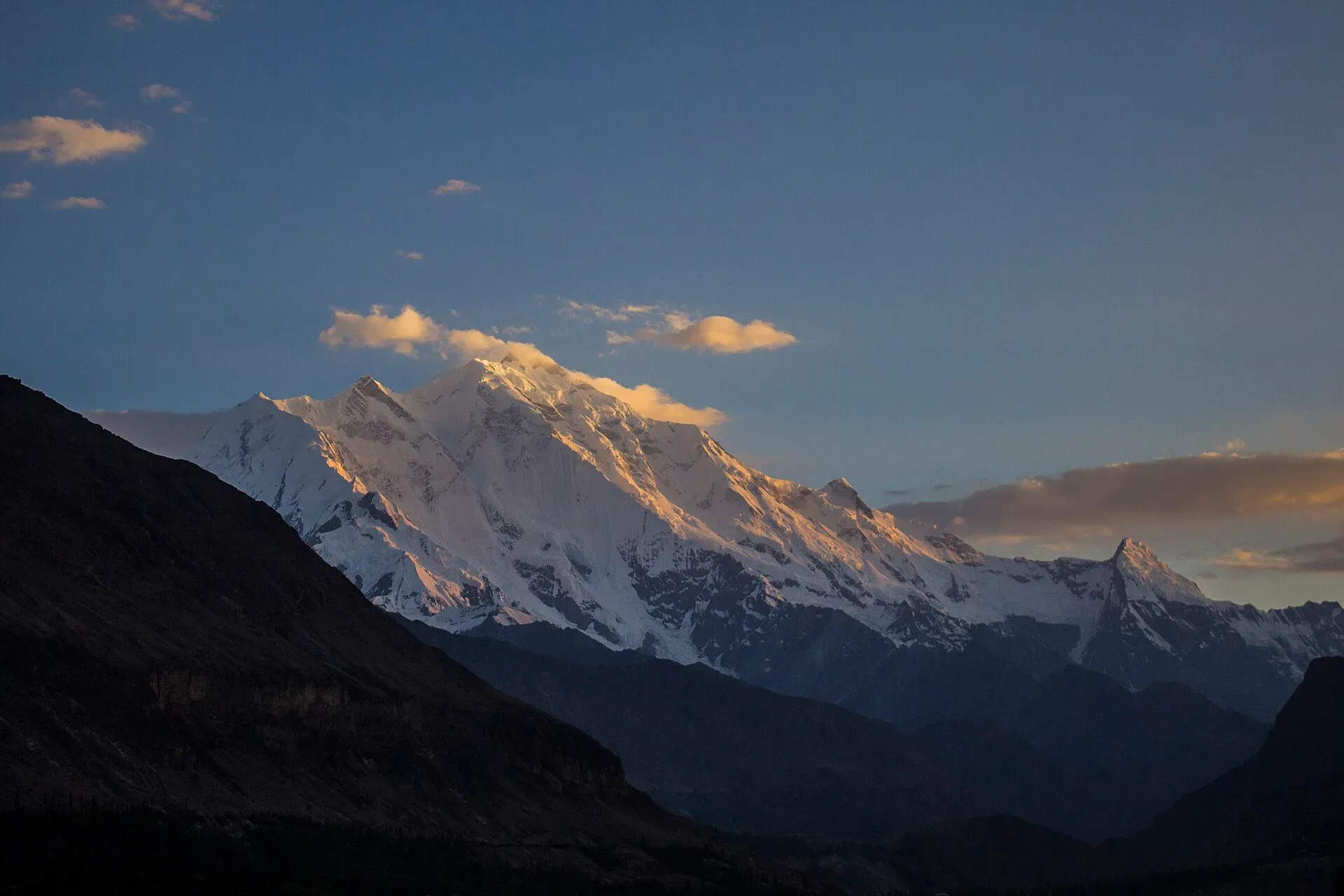
Photo: Saadzafar91, with thanks · CC BY-SA 3.0 · via Wikimedia Commons · temporary stand-in photo
Foothills and plateaus
Margalla Hills and Galyat. North of Islamabad, Margalla's highest point is Tilla Charouni (1,604 m), with limestone hills, more than 430 bird species and a network of popular walking trails. In the Galyat hills further north, Miranjani (2,992 m) is the highest peak and Mukshpuri (2,800 m) the second highest. Mukshpuri has a steady climb of about 4 km from the Nathia Gali side.
Salt Range. Rising to about 1,520 m at Sakesar, this low range south of the Pothohar Plateau contains the Khewra Salt Mine and rocks with fossils reaching back about 570 million years. Lakes, temples and the Punjab urial live here.
Siwalik and Pothohar hills. The Pothohar Plateau covers about 13,000 sq km in north-western Punjab and is bounded by the Margalla Hills to the north and the Salt Range to the south. Little detailed information on the Siwalik foothills was found, so this page will be updated.
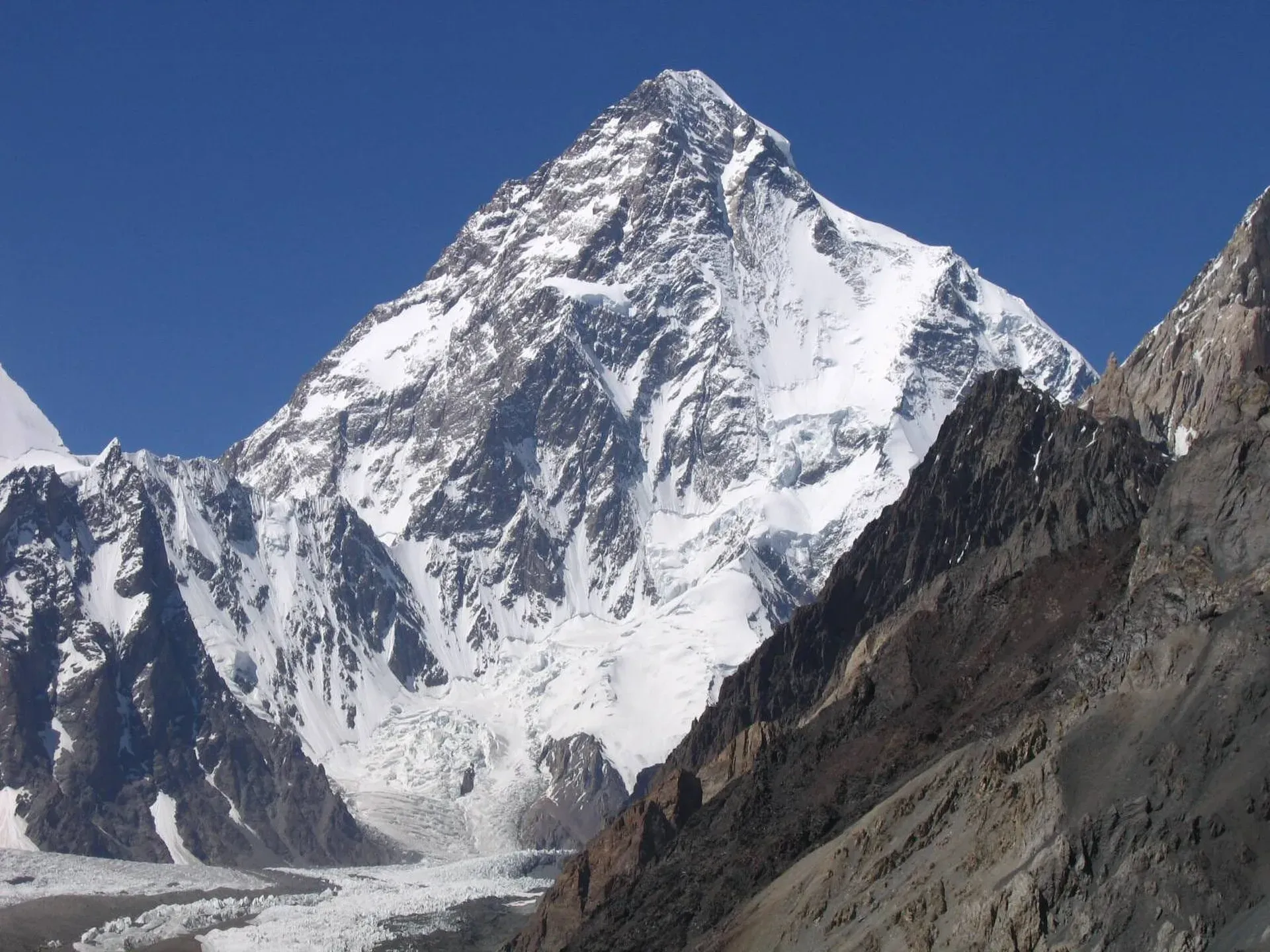
Photo: Svy123, with thanks · CC BY 3.0 · via Wikimedia Commons · temporary stand-in photo
The ranges of the west and south
Sulaiman Range. Running north to south along the Balochistan, Khyber Pakhtunkhwa and Punjab border, the eastern edge of the Sulaiman Mountains extends about 450 km from Gomal Pass to near Jacobabad. Takht-e-Sulaiman (3,487 m), the "Throne of Solomon", is its famous summit. The range is a fold-and-thrust belt that began forming about 30 million years ago. Snow can lie on its summits from late November to March.
Central Brahui Range. Near Quetta, Zarghun Ghar (3,578 m) is the highest mountain in Balochistan, followed by Kuchnai Saar (3,404 m).
Toba Kakar Range. A southern offshoot of the Sulaiman Mountains, in Balochistan, extending into Afghanistan. Reliable height figures are scarce, so no summit is quoted here.
Kirthar Range. About 310 km long and 9,000 sq km in area, the Kirthar forms the boundary between Sindh and Balochistan, from the Mula River to Cape Monze. Zardak Peak is the highest point, quoted at about 2,260 m in some sources and 2,895 m in others. Gorakh Hill, a hill station at about 1,734 m, is the usual Sindh viewpoint, and much of the range lies in Kirthar National Park.
Makran Coastal Range. Low limestone and sandstone mountains of up to about 1,500 m run along the Balochistan coast. They are famous for Hingol National Park, whose wind-carved rocks include the Balochistan Sphinx and Princess of Hope.
Chagai Hills and Ras Koh. A remote, very dry region in western Balochistan. The Chagai Hills rise to Malik Naru (2,412 m) in a granite range about 130 by 95 km, with an extinct volcano site at Koh-i-Sultan. The area gets around 100 mm of rain a year.
Spin Ghar (Safed Koh). The White Mountains run about 160 km east to west along the Khyber Pakhtunkhwa and Afghanistan frontier, from the Peshawar Valley towards the Logar Valley. Mount Sikaram (4,755 m) is the highest summit. The Khyber Pass crosses a spur of this range.
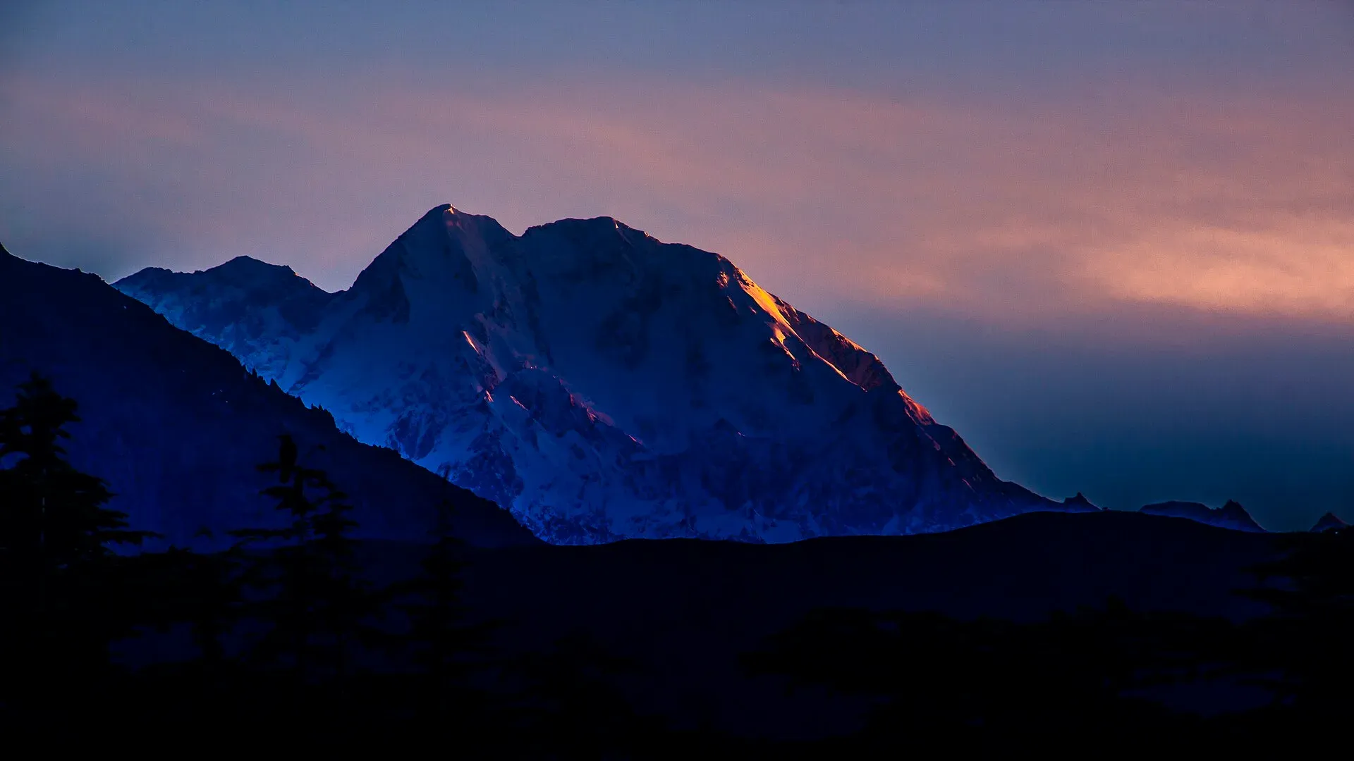
Photo: KaleemUllah550, with thanks · CC BY-SA 4.0 · via Wikimedia Commons · temporary stand-in photo
Best months for the ranges
- Karakoram, Himalaya, Hindu Kush and Hindu Raj: treks generally run from June to September; check passes and routes with local operators.
- Margalla, Galyat and Salt Range: the cooler months, October to April, suit the Margalla and Salt Range, while Galyat is pleasant in summer.
- Sulaiman, Kirthar, Makran and Chagai: the cooler winter months; summers are extremely hot at low levels.
Always check security and permit conditions with provincial authorities before going. Some areas near borders are restricted.
Each range has its own page: Karakoram, Himalaya, Hindu Kush, Hindu Raj, Pir Panjal, Margalla, Salt Range, Siwalik and Pothohar, Sulaiman, Central Brahui, Toba Kakar, Kirthar, Makran, Chagai and Spin Ghar.
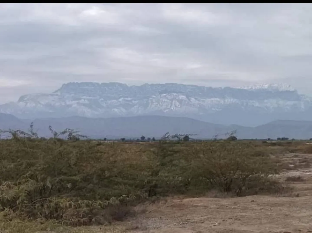
Photo: Asad ASAd, with thanks · Public domain (CC0) · via Wikimedia Commons · temporary stand-in photo
More photos
Sources and last checked
Last checked Confidence medium20 sources4 still to check
- Last checked
- Method
- Desk research from published sources
- Confidence
- medium
- Checked by
- trek.pk research team
Researched from published sources; not yet checked on the ground by our team. Spot something out of date? Report a mistake.
Sources
- List of mountains in Pakistan · Wikipedia · checked
- Karakoram · Wikipedia · checked
- Juglot · Wikipedia · checked
- Nanga Parbat · Wikipedia · checked
- Deosai National Park · Wikipedia · checked
- Hindu Kush · Wikipedia · checked
- Hindu Raj · Wikipedia · checked
- Pir Panjal Range · Wikipedia · checked
- Margalla Hills · Wikipedia · checked
- Mukshpuri · Wikipedia · checked
- Salt Range · Wikipedia · checked
- Potohar Plateau · Wikipedia · checked
- Sulaiman Mountains · Wikipedia · checked
- Central Brahui Range · Wikipedia · checked
- Toba Kakar Range · Wikipedia · checked
- Kirthar Mountains · Wikipedia · checked
- Makran Coastal Range · Wikipedia · checked
- Hingol National Park · Wikipedia · checked
- Chagai Hills · Wikipedia · checked
- Spin Ghar · Wikipedia · checked
Still to be checked on the ground (4)
- Koyo Zom 6,872 m (infobox) vs 6,889 m (table) and Zardak 2,260 m vs 2,895 m are both given by Wikipedia itself; the page shows the range
- Toba Kakar and Siwalik ranges: little reliable data found
- Margalla and Galyat walking-trail details are general knowledge (Wikipedia gives only heights and a 4 km Mukshpuri climb)
- Best-month advice per range is general; confirm with local operators


