

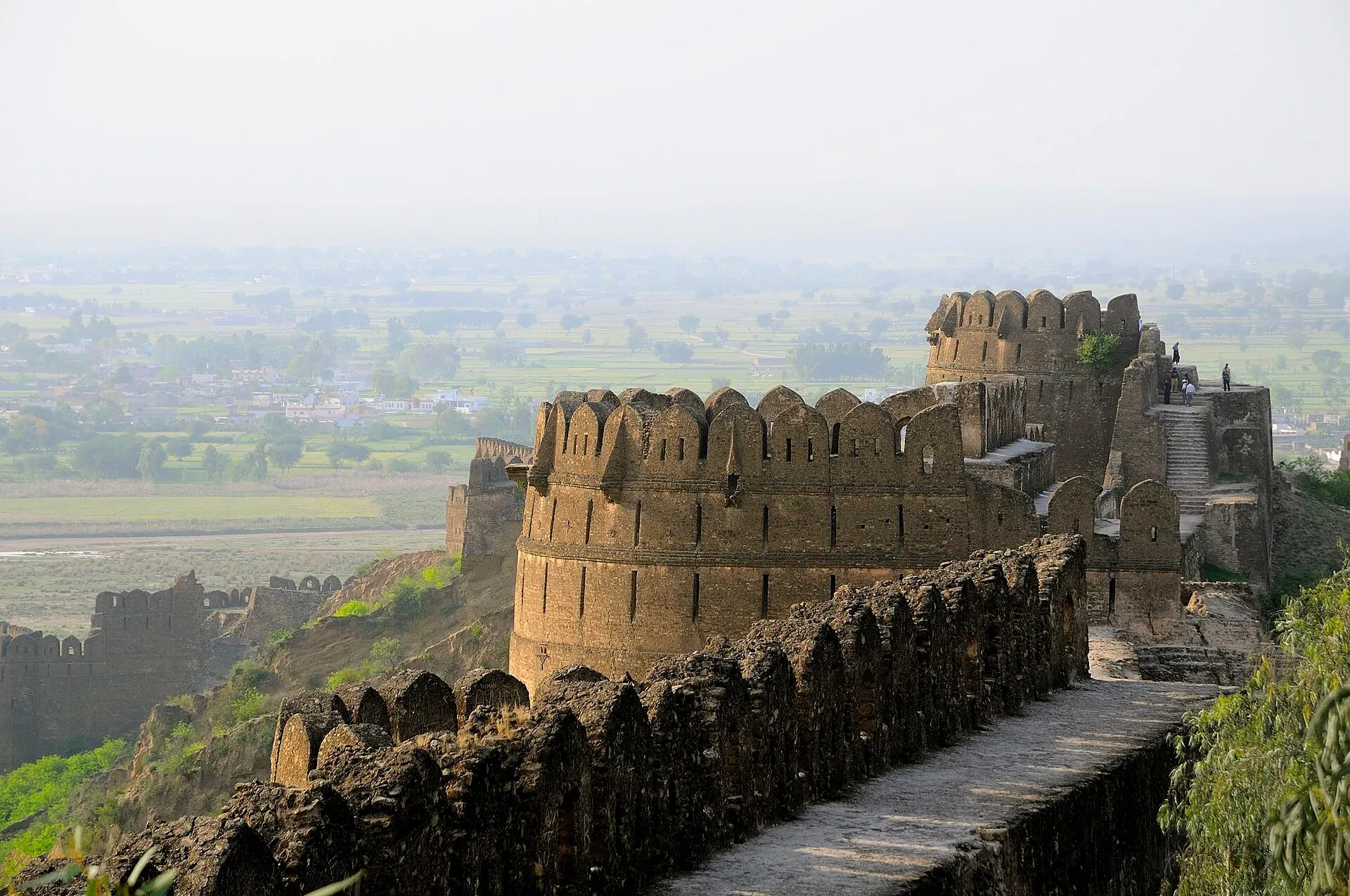
Photo: Usman.pg, with thanks · CC BY-SA 4.0 · via Wikimedia Commons · temporary stand-in photo

Siwalik and Pothohar Hills
The low foothills and plateau north of the Salt Range around Rawalpindi and Jhelum. Little reliable data is published on heights and length.
Overview
The Pothohar Plateau, also called the Northern Punjab Plateau, covers roughly 13,000 square kilometres of north-western Punjab around Rawalpindi, Islamabad, Jhelum and Chakwal. It is bounded by the Indus on the west and the Jhelum on the east, by the Kala Chitta Range and the Margalla Hills on the north, and by the Salt Range on the south. Its average height is about 365 to 579 m, and the highest point of the region is Sakesar (about 1,525 m) in the Salt Range.
The Siwalik Hills, also called the Churia Hills, are the outermost foothills of the Himalaya. Across their whole length from the Indus eastwards they run for about 2,400 km, are 10 to 50 km wide and average 1,500 to 2,000 m high. Only the western end lies in Pakistan, and no separate Pakistani length or highest point was found, so none is given here for the Pakistani part.
Geology and fossils
The Siwaliks are mostly sandstone and conglomerate: the poorly consolidated debris of the Himalaya to their north, thought to be about 16 to 5 million years old. They are famous for fossils of vertebrates from the early Miocene to the Middle Pleistocene, including the extinct ape Sivapithecus, whose fossil skull was found on the Pothohar plateau. The Soan Valley in this region gives its name to the Soanian stone-tool culture, with evidence of human presence going back hundreds of thousands of years.
What to see
- Taxila. An ancient Gandhara city on the plateau.
- Rohtas Fort, near Jhelum.
- Chinji National Park, in the Salt Range foothills near Talagang.
- The Salt Range to the south, covered on its own page.
When to go
October to March (estimate; summers are hot).
Good to know
- Gateways: Rawalpindi, Islamabad and Jhelum, along the GT Road and the M-2.
- Heights and length quoted above are for the whole Siwalik range or the whole plateau, not for a Pakistani trekking area; this is a landscape page, not a trekking destination.
Geology
Mostly sandstone and conglomerate, the poorly consolidated debris of the Himalaya, about 16 to 5 million years old (Miocene to Pliocene), rich in vertebrate fossils.
Sources and last checked
Last checked Confidence medium5 sources2 still to check
- Last checked
- Method
- Desk research from published sources
- Confidence
- medium
- Checked by
- trek.pk research team
Researched from published sources; not yet checked on the ground by our team. Spot something out of date? Report a mistake.
Sources
- Salt Range · Wikipedia · checked
- Geography of Pakistan · Wikipedia · checked
- Potohar Plateau (Wikipedia) · Wikipedia · checked
- Sivalik Hills (Wikipedia) · Wikipedia · checked
- Chinji National Park (Wikipedia) · Wikipedia · checked
Still to be checked on the ground (2)
- Length and highest point of the Siwaliks within Pakistan (Wikipedia gives only whole-range figures: about 2,400 km long, 1,500 to 2,000 m average, no highest point)
- Season (estimate)