

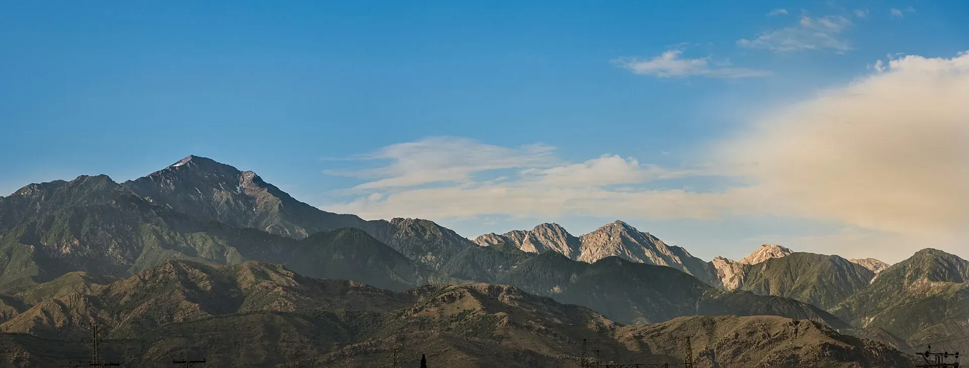
Photo: Safed Koh, with thanks · CC BY-SA 4.0 · via Wikimedia Commons · temporary stand-in photo

Spin Ghar (Safed Koh)
The 'White Mountains' on the KP-Afghanistan border, about 160 km long. Sikaram (4,755 m) near Parachinar is the highest peak. Access is restricted for security reasons.
Overview
Spin Ghar, or Safed Koh, means the White Mountains. The range runs about 160 km from the Peshawar valley to the Logar valley in Afghanistan, along the border. It forms a natural border between the two countries and is the watershed between the Kabul and Kurram river systems; the Kabul River cuts a narrow trough through it. Its highest peak is Sikaram (4,755 m), near Parachinar in Kurram. Wikipedia's Spin Ghar and Sikaram pages both give 4,755 m, the second citing Peaklist.
What it is made of
Ancient Proterozoic gneiss and granite at the base, with some gabbro, marble and migmatite, and small cirque glaciers near the summit, some filled with scree. On the southern flank of Sikaram, limestone and dolomite reach up to about 4,000 m, with slate above that and crystalline rock higher still.
Passes
The Khyber Pass crosses a spur of the range. Other crossings are the Peiwar Pass (near Sikaram, linking Parachinar with Afghanistan's Paktia Province) and the Agam Pass (3,586 m on Wikipedia, no second source opened).
Visiting
This area is security-restricted. We list it here for completeness only. Summer is the likely season, but this is an estimate. Ask the district administration or local police about current conditions before you go. For foreign visitors: the UK FCDO (page updated 27 October 2026, checked 17 November 2026) advises against all travel to Kurram and within 10 miles of the Afghan border. Check official advice and any permission rules before you consider travel.
Geology
Ancient Proterozoic gneiss and granite, with small cirque glaciers near the summit.
Notable peaks
Sources and last checked
Last checked Confidence medium3 sources3 still to check
- Last checked
- Method
- Desk research from published sources
- Confidence
- medium
- Checked by
- trek.pk research team
Researched from published sources; not yet checked on the ground by our team. Spot something out of date? Report a mistake.
Sources
- Spin Ghar · Wikipedia · checked
- Mount Sikaram · Wikipedia · checked
- Pakistan travel advice · UK Foreign, Commonwealth & Development Office · checked
Still to be checked on the ground (3)
- Season (estimate)
- Current access and security (FCDO advises against all travel to Kurram and the border strip; no local notice opened)
- Agam Pass height (3,586 m) is from Wikipedia only; Sikaram's 4,755 m traces to Peaklist on both Wikipedia pages