

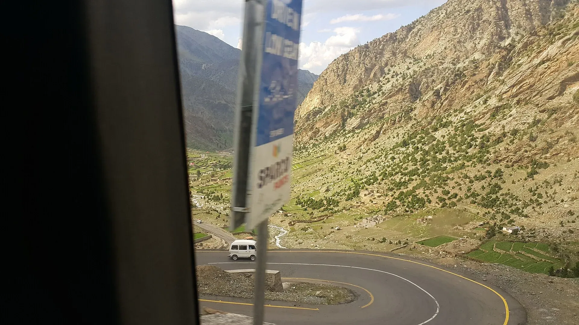

Last verified: 17 November 2026. For today's status, use the live board at Road status. This page explains how it works and gives the usual seasonal pattern.
Why this matters
Landslides, snow, floods, rockfalls and road works can close a mountain road for hours or weeks. Planning around them is the single most important safety habit for the north.
The live board
The Road status board shows key roads and passes as Open, Caution or Closed, with the reason, an alternative if one exists, the time of the last update and the source. It covers the Karakoram Highway, Babusar, Skardu road, Lowari, Shandur, Khunjerab, Deosai, Neelum, Kalam, the Makran coast and the main motorways. Traveller reports are shown only after the team has approved them.
Who publishes official information
- National Highway Authority (NHA) and the National Highways and Motorway Police (NHMP), helpline 130: road closures, accidents and works on national highways and motorways.
- National Disaster Management Authority (NDMA) and provincial disaster management authorities (PDMAs, GBDMA, SDMA): weather alerts, monsoon and flood warnings.
- Pakistan Meteorological Department (PMD): forecasts, advisories and rain, snow and heat warnings.
- Local police and district administrations in Gilgit-Baltistan, Khyber Pakhtunkhwa and Azad Kashmir: local closures, convoys and checkpost instructions.
- Provincial tourism departments: advisories for visitors.
Social media posts from drivers and operators are useful but not official. Always compare with an official source.
Usual pass and road calendar
These are typical patterns, not guarantees. Snow, rain and works change them. Heights are approximate.
| Road or pass | Height | Usually open |
|---|---|---|
| Karakoram Highway (N-35) | Passes through Besham, Chilas, Gilgit, Hunza to Sost | Year-round in most years, with landslide and snow closures, especially in spring and the monsoon |
| Babusar Pass (N-15, Kaghan to Chilas) | about 4,170 m | Sources differ: roughly April to September on Wikipedia, and mid-July to late September for the road north of Naran. Often shut by snow or landslides outside that |
| Lowari Pass and Tunnel (Dir to Chitral) | about 3,120 m (pass) | The tunnel (opened 2017) is the all-weather route. The old pass typically closes from late November to late May |
| Shandur Pass (Chitral to Gilgit-Baltistan) | about 3,720 m | Not confirmed. Check locally |
| Khunjerab Pass (Pakistan-China border) | about 4,700 m | Dawn reported on 23 April 2025 that the pass was inaugurated for year-round trade and travel, after being open only from April to November. Check with GB authorities and customs at Sost for tourist access |
| Deosai Plains road (Skardu to Astore) | about 4,100 m | Only accessible in summer; check with Skardu and Astore authorities for dates |
| Skardu road (N-35 and Skardu-Gilgit link) | lower | Mostly open, with seasonal landslides and works |
| Neelum Valley road (AJK) | lower | Mostly year-round. Snow and landslides in winter and spring |
| Kalam (Swat) | about 2,000 m | Open year-round with snow closures in the deep winter |
| Makran Coastal Highway (N-10) | sea level | Year-round. Check security advice and travel by day |
| Motorways | sea level | Open all year, with fog closures in winter, especially Punjab |
Weather risks to know
- Landslides are common in the Karakoram Highway region in spring and monsoon.
- Monsoon rain from July to September can cause floods and wash out roads.
- Snow closes high passes. Late spring snow can surprise.
- Fog closes motorways in Punjab in December and January, usually at night and in the early morning.
- Heat above 40 degrees in the plains in summer affects cars and people. Carry water.
How to plan around closures
- Check the board and an official source on the evening before and morning of travel.
- Leave early. Mountain road closures are often cleared by afternoon, and delays are shorter than nights stuck.
- Always carry water, snacks and warm clothes for delays of several hours.
- Have an alternative. For example, fly instead of drive, or choose another valley.
- Inform your hotel of your plan and expected arrival.
- Do not drive at night in the mountains. See Driving in Pakistan.
- If you see a landslide sign or a closed road, do not try to cross. Rocks can fall again.
Traveller reports
You can send road reports with a photo and a location. The team checks every report before it appears. They do not replace official closures.