

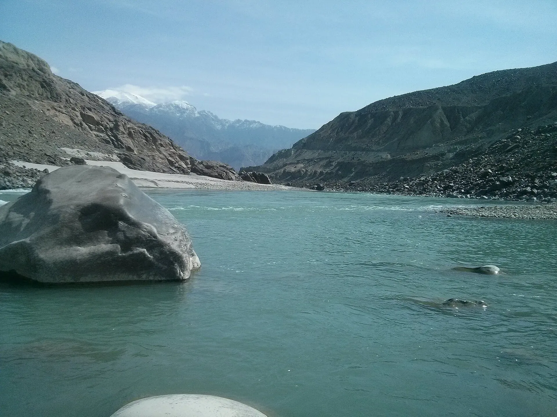
Photo: Ahmedomair, with thanks · CC BY-SA 4.0 · via Wikimedia Commons · temporary stand-in photo

Chilas Rock Carvings
Thousands of rock carvings along the Indus near Chilas, from prehistoric hunting scenes to Buddhist stupas and inscriptions left by Silk Road travellers.
Overview
The Chilas area on the Karakoram Highway has one of the largest collections of rock art in the world. More than 50,000 carvings and inscriptions line the highway across Gilgit-Baltistan, concentrated at about ten major sites between Hunza and Shatial. Around Chilas, the carvings lie on boulders and rock faces beside the Indus River, left over thousands of years by hunters, traders, pilgrims and travellers on the old routes between the Indus plains, Gandhara and Central Asia. Chilas stands on the left bank of the Indus and is the headquarters of Diamer District.
Plan your visit
- Nearest town
- Chilas
- Getting there
Chilas is on the Karakoram Highway (N-35), roughly midway between Islamabad and Gilgit. Buses and vans run along the highway; the carvings are on boulders near the road and river on the edge of town. More
Best months
Apr – Jun, Sep – Oct
- Chilas Rock Carvings
- Related places nearby: Gilgit, Darel Valley
History
The oldest carvings are thought to date from roughly 5000 to 1000 BCE. They show single animals, triangular human figures and hunting scenes in which the animals are sometimes larger than the hunters. They were pecked into the rock with stone tools, and a thick patina on them is what proves their age. Later carvings are mostly Buddhist and were cut with sharp tools. Recorded examples include a Balarama and Krishna scene with a Kharoshthi inscription (dated to about the 1st century CE), a stupa dated to about 300 to 350 CE, and a donor in Central Asian dress at Thalpan-Ziyarat, dated to about the 7th century CE.
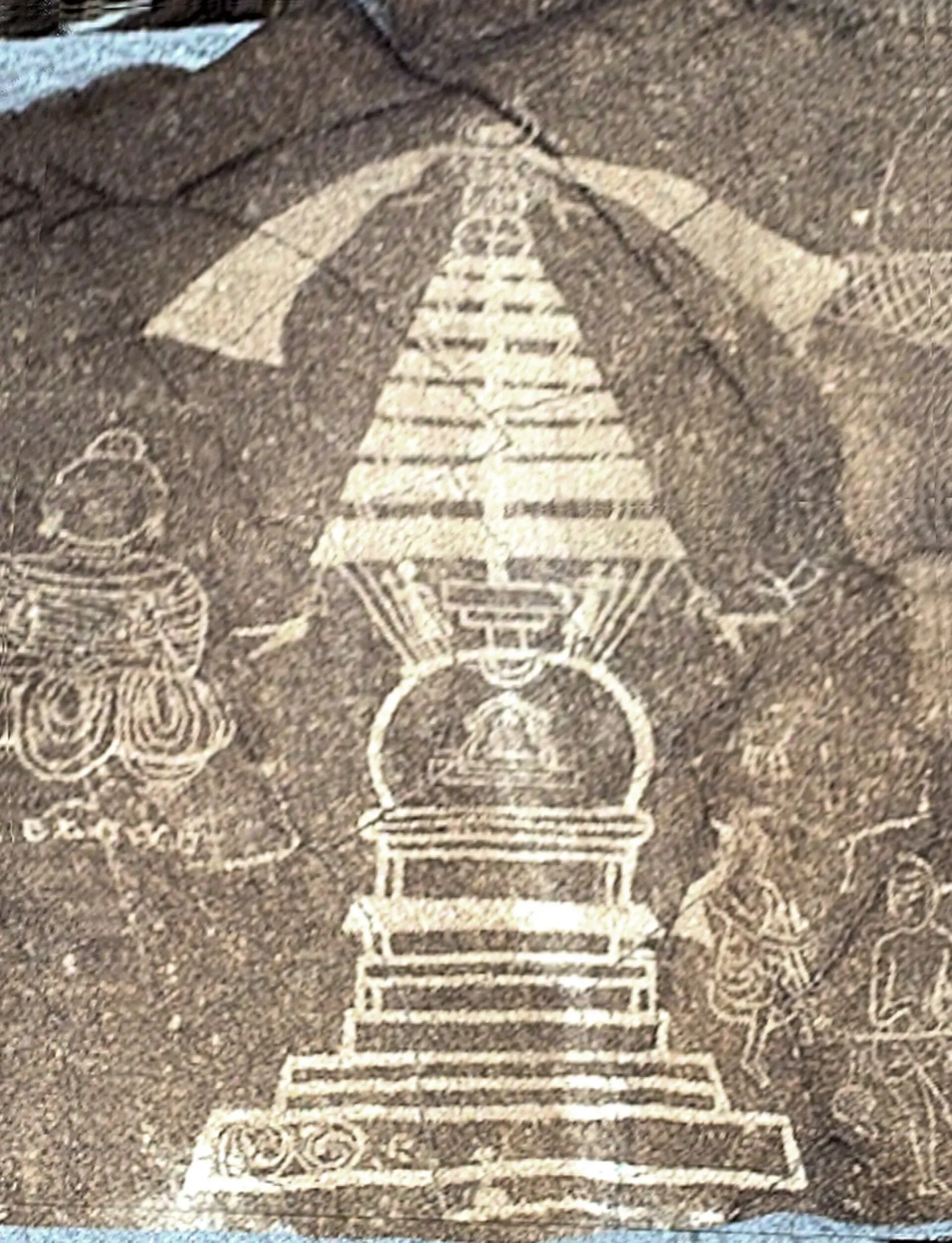
Photo: B.Degel, with thanks · Public domain (CC0) · via Wikimedia Commons · temporary stand-in photo

The carvings were left by invaders, traders and pilgrims who passed along the trade route, and by local people. Karl Jettmar and German-Pakistani teams recorded them from 1979 to 1984. His books "Rock carvings and Inscriptions in the Northern Areas of Pakistan" and "Between Gandhara and the Silk Roads" are the standard reference. In 1984 Jettmar and Volker Thewalt also found the remains of a Buddhist monastery near Skardu and Shigar.
What to see and do
- Boulders by the highway and river: ibex and hunters, stupas, inscriptions and later Buddhist scenes. The Shatial carvings, near the western end of the main sites, include stupas drawn in outline on a single large rock face.
- Local guides and the Chilas museum area: ask in Chilas about which sites are currently accessible.
Take time to look closely: the carvings are shallow and best seen in low, side light.
Chilas and the river
Chilas is the main town on this stretch of the Karakoram Highway. It lies where the highway meets the Babusar Pass road from the Kaghan Valley (Wikivoyage calls the junction Chilas Zero Point). Summers are hot and dry and winters cold and dry; the average temperature is about 28 degrees Celsius in July and about 6 degrees Celsius in January (Wikipedia). Local people speak Shina. Wikivoyage says taxis and drivers are easy to hire for trips beyond the town.
When to visit
Spring and autumn are the most comfortable. Chilas is very hot in summer, and the Karakoram Highway can be closed by landslides.
Where to stay and eat
Chilas has basic hotels and local restaurants.
Good to know
- UNESCO: the rock carvings are not on the World Heritage List or the current tentative list. They were proposed in 1980 and later removed from the former tentative list (sources vary on the year).
- Threat: reports say the Diamer-Bhasha Dam reservoir will flood some carvings in the area. WAPDA's own project page lists the dam as under construction with completion planned for February 2029 (page undated, confirm current date), and Wikipedia gives a reservoir area of about 100 km2. There is no known official list of which carvings will be flooded or moved. See Diamer-Bhasha Dam.
- Etiquette: never touch, rub, chalk or climb on carvings. Dress modestly and ask locals before photographing people.
- Safety: the Chilas area has had security incidents in the past. Check current advice before travelling and consider local guidance.
Travel advice
Ask the district administration or local police about current conditions before you go. For foreign visitors: the UK FCDO advises against all travel on the Karakoram Highway between Mansehra and Chilas (advice updated 27 October 2026, checked 16 November 2026), but does not advise against Gilgit-Baltistan generally. Read the live advice before you plan.
Highlights
- One of the world's largest open-air rock art collections
- Carvings from prehistory to the Buddhist period
- Recorded by German-Pakistani teams from 1979 to 1984
- Stretches along the Karakoram Highway and the Indus
Getting there
Chilas is on the Karakoram Highway (N-35), roughly midway between Islamabad and Gilgit. Buses and vans run along the highway; the carvings are on boulders near the road and river on the edge of town. A hired car from Chilas is the easiest way to see several sites.
Tips
- Ask in Chilas for a guide to the current sites.
- Look in morning or evening light.
- Do not rub or touch the carvings.
- Check road and security updates first.
Photos we still need: carvings at Thalpan-Ziyarat and the Chilas Gah site. Send us yours
Sources and last checked
Last checked Confidence low7 sources5 still to check
- Last checked
- Method
- Desk research from published sources
- Confidence
- low
- Checked by
- trek.pk research team
Researched from published sources; not yet checked on the ground by our team. Spot something out of date? Report a mistake.
Sources
- Chilas (Wikipedia) · Wikipedia · checked
- Pakistan's Diamer Basha dam will drown ancient carvings · Dialogue Earth · checked
- Rock Carvings at Hunza, Gilgit, Chilas (former tentative list) · worldheritagesite.org · checked
- Diamer Basha Dam · WAPDA · checked
- Diamer-Bhasha Dam · Wikipedia · checked
- Karakoram Highway · Wikipedia · checked
- Chilas (Wikivoyage) · Wikivoyage · checked
Still to be checked on the ground (5)
- Which specific carving sites are currently accessible (on the ground)
- Exact coordinates of the individual carving sites (Wikipedia gives only the town, about 35.419, 74.094)
- Which carvings the dam reservoir will flood, and when (WAPDA lists completion as Feb 2029; no flood list found)
- Site-by-site dating from Jettmar's volumes (not opened)
- Security situation on the Chilas stretch of the KKH (follow the live FCDO advice)
Nearby and related

Gilgit
Gateway to Gilgit-Baltistan on the Karakoram Highway: a busy mountain town with the Kargah Buddha and the base for Hunza, Naltar and Skardu.

Gilgit-Baltistan
Pakistan's far north: three great ranges meet here, with K2, Nanga Parbat, giant glaciers, the Karakoram Highway and the valleys of Hunza, Skardu and Gilgit.
Darel Valley
A valley along the Darel River, a tributary of the Indus, in Darel District near Chilas. Known for Buddhist-period remains. Very few visitor services.