

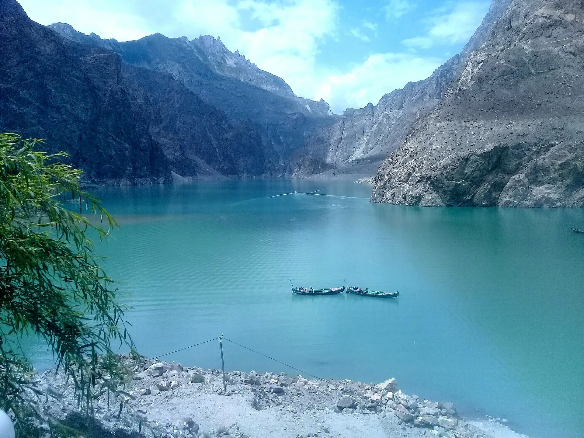
Photo: Peracha1, with thanks · CC BY-SA 4.0 · via Wikimedia Commons · temporary stand-in photo

Gilgit-Baltistan
Pakistan's far north: three great ranges meet here, with K2, Nanga Parbat, giant glaciers, the Karakoram Highway and the valleys of Hunza, Skardu and Gilgit.
Overview
Gilgit-Baltistan is a mountain province in the north of Pakistan, administered from Gilgit. About 72,500 square kilometres in size (72,496 km2 per Wikipedia) and with 1.71 million people at the 2023 census (1,709,049), it is home to the meeting point of the Karakoram, Himalaya and Hindu Kush ranges. It holds five of the fourteen mountains above 8,000 metres, including K2 (8,611 m) and Nanga Parbat (8,126 m), plus dozens of peaks over 7,000 m. The Indus, Gilgit and Hunza rivers cut deep gorges between them. Some of the longest glaciers outside the polar regions, such as Baltoro, Biafo and Hispar, flow through the Karakoram.
Gilgit-Baltistan is administered by Pakistan. Its status is part of the wider Kashmir question; this page sticks to plain facts about who administers what.
Plan your visit
- Getting there
By road. The Karakoram Highway (N-35) runs from Hasan Abdal near Islamabad through Abbottabad, Mansehra and Besham, then Dasu and Chilas, to Gilgit. Expect about 14 to 18 hours in a car or coach in good conditions. More
Best months
May – Oct
- Gilgit-Baltistan
- Related places nearby: Skardu, Deosai Plains, Shigar Valley, Khaplu, Deosai National Park
What it is best for
- Mountain scenery from the road. The Karakoram Highway passes under Rakaposhi and through Hunza without any trekking.
- Trekking and climbing. Treks to K2 Base Camp, Concordia, Fairy Meadows, the Hispar and Biafo glaciers and many gentler valley walks all start here.
- High plateaus and lakes. Deosai Plains, Attabad Lake, Phander and Rama are among the best-known.
- Forts and culture. Baltit and Altit in Hunza, Shigar Fort and Khaplu Palace have been restored as heritage sites.
Regions at a glance
- Hunza and Gojal (the upper Hunza valley). Orchards, old forts and the Karakoram Highway running up to the border. See Hunza Valley, Attabad Lake, Passu and Khunjerab National Park.
- Baltistan. The Balti-speaking south-east, reached through Skardu. See Skardu, Shigar Valley, Khaplu and Deosai National Park.
- Gilgit and Ghizer. The administrative hub and the long western valley towards Shandur. See Gilgit, Naltar Valley and Ghizer Valley.
- Astore and the Nanga Parbat side. See Astore Valley and Nanga Parbat.
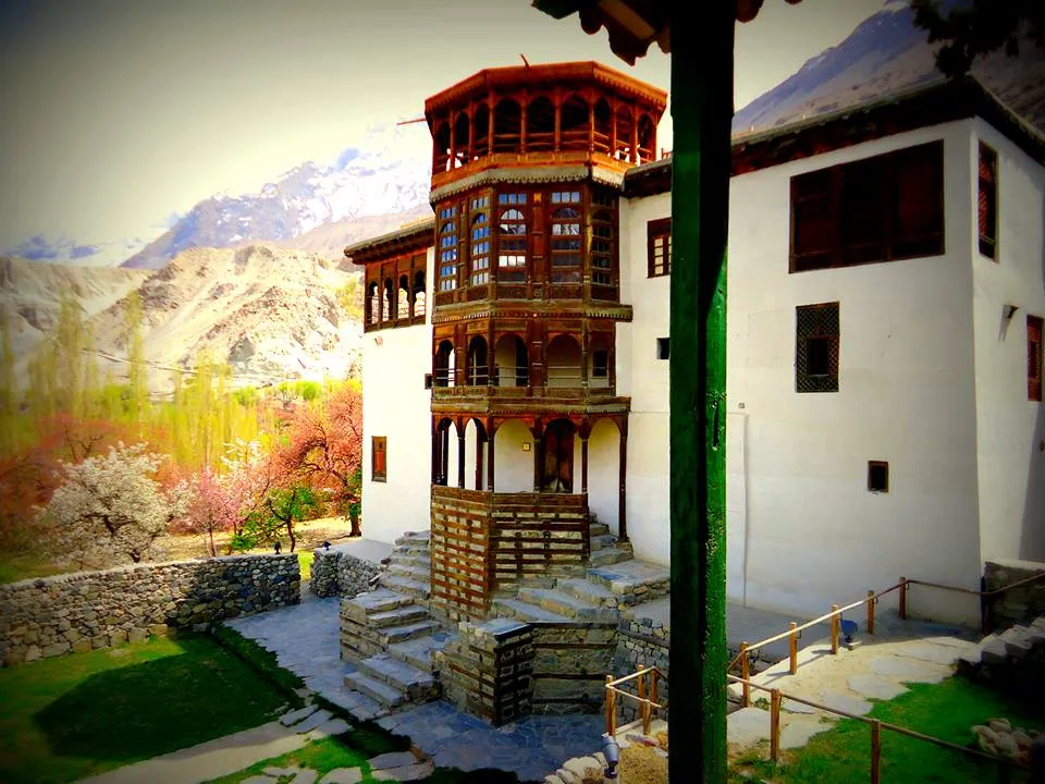
Photo: Sana Nemat, with thanks · CC BY-SA 3.0 · via Wikimedia Commons · temporary stand-in photo

Top places
- Hunza Valley (Karimabad, Altit, Gulmit, Passu): apricot orchards, forts, the Passu Cones and Hussaini suspension bridge.
- Skardu and Baltistan: gateway to the Baltoro, with Shigar, Khaplu, Satpara and the Katpana cold desert nearby.
- Gilgit: the regional capital and hub for Naltar, Yasin, Ghizer and Ishkoman valleys.
- Astore and Deosai: Rama Lake, Rupal face of Nanga Parbat, and the Deosai Plains.
- Fairy Meadows: the classic viewpoint for Nanga Parbat, reached by jeep track and a hike.
- Khunjerab Pass (4,693 m): the border crossing with China, in Khunjerab National Park. Wikipedia says the pass is generally closed to all vehicles from about 30 December to 1 April, but the dates are not fixed and snow can delay clearing. Whether it is open to tourists on a given date depends on both governments, so check before you go.
When to go
Most visitors come from May to October. Hunza is at its best in April for blossom and October for autumn colour. Deosai opens late, usually around June, and is snowed in for much of the winter. Trekking seasons run from June to September. Winters are cold, many guesthouses close and roads can be blocked, but Gilgit and the lower valleys are accessible.
Getting around
The main road is the Karakoram Highway (N-35), which links the province with the rest of Pakistan and runs on to the Khunjerab Pass. Plan generously: distances look short on a map but mountain roads are slow, and landslides, floods and snow can close sections for hours or days. Fuel is available in the main towns; fill up before leaving.
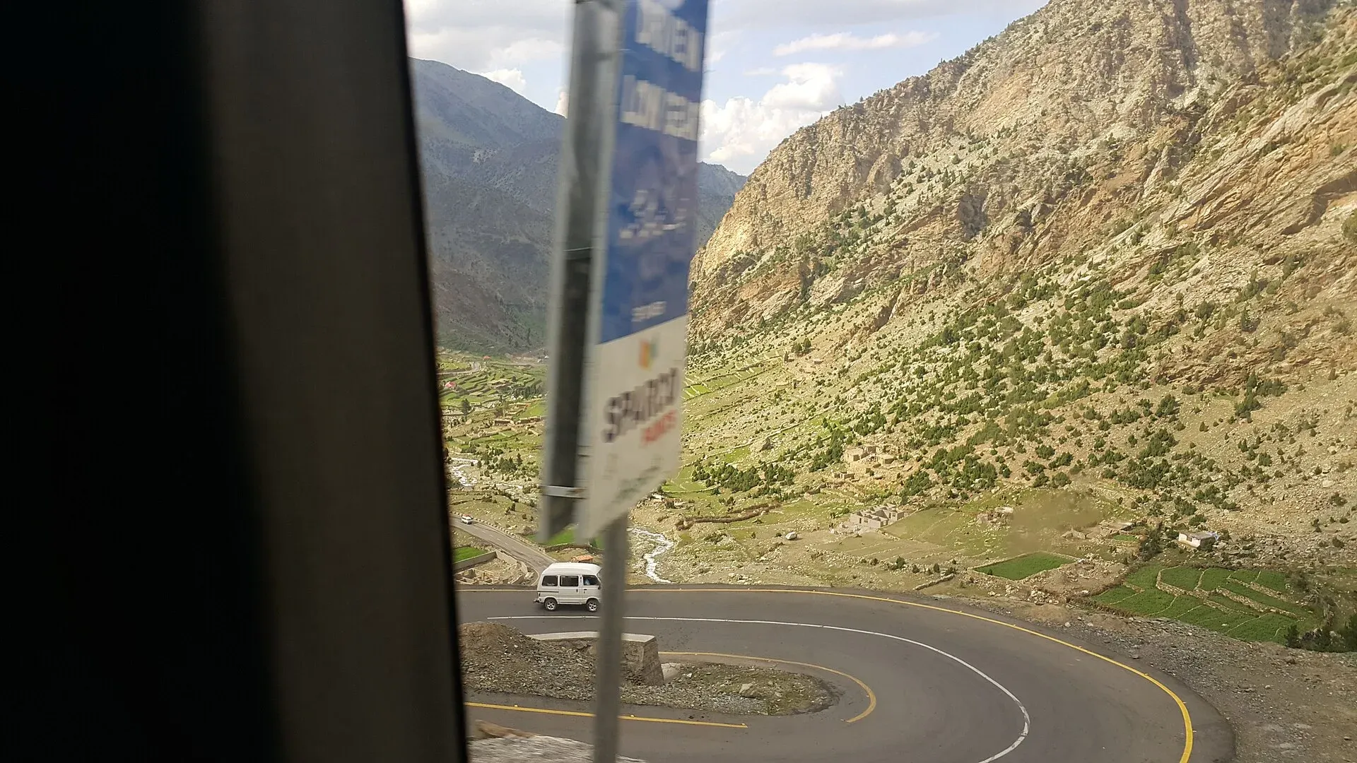
Photo: Kskhh, with thanks · CC BY-SA 4.0 · via Wikimedia Commons · temporary stand-in photo

Permits and rules for visitors
Rules change and depend on the area, so check before every trip.
- Most main valleys on the Karakoram Highway and around Gilgit, Hunza and Skardu are open to Pakistani visitors without a special permit.
- Foreign visitors need a valid Pakistani visa. A Ministry of Interior notification reported by Dawn on 26 March 2019 ended the NOC requirement for foreigners in Gilgit-Baltistan, Azad Kashmir and Chitral, except for restricted border strips: 10 miles along the China and Afghanistan borders, 5 miles along the Line of Control, and 10 miles at Siachen. There is no known later federal notification. The Gilgit-Baltistan Tourism Department's FAQ (official site, undated; checked 18 November 2026) says trekking and mountaineering in restricted areas need a permit and a licensed guide and porter, applied for online by a registered tour operator; Dawn (29 March 2026) reports that open-zone areas need no permit. The UK FCDO gives 10 miles, not 5, for the Line of Control strip. Fees apply and current fees will be added soon.
- Expeditions to peaks and Concordia and K2 treks normally go through a registered operator, who files the papers. Check with Gilgit-Baltistan Tourism or the Alpine Club of Pakistan.
- Some national parks, including Khunjerab, Central Karakoram and Deosai, charge entry or have conservation rules. Current fees will be added soon.
People, culture and food
Gilgit-Baltistan is multi-ethnic. People speak Shina, Balti, Burushaski, Wakhi, Khowar and others, with Urdu and English widely used in tourism. Communities follow Sunni, Shia, Ismaili and Nurbakhshi traditions, and visitors are expected to dress modestly and ask before photographing people. Polo is the traditional sport, and the Shandur Polo Festival between Chitral and Gilgit teams draws crowds each summer.
Food is simple and filling. Look for chapshuro (meat-filled bread), mulberry and apricot products, walnut cake and apricot oil in Hunza, and salted tea. The valleys' dried apricots, walnuts and cherries make good souvenirs.
Safety
- Roads: landslides, flash floods and glacier-lake outbursts are the main hazards. Travel in daylight and avoid steep gorges after heavy rain.
- Altitude: many places are above 3,000 m. Climb slowly and drink water.
- Security: the situation varies by district. Chilas and Diamer have seen incidents in the past, including the attack on Nanga Parbat base camp in 2013. Check current advice from your embassy and the local police, and ask your driver about the road ahead.
- Mountain rescue needs time and weather. Travel with a registered operator for serious treks and carry insurance that covers altitude and evacuation.
For foreign visitors: the UK FCDO advises against all travel on the Karakoram Highway between Mansehra and Chilas (advice updated 27 October 2026, checked 17 November 2026), but does not advise against Gilgit-Baltistan generally. Read the live advice before you plan.
Highlights
- Five of the world's fourteen 8,000 m peaks, including K2
- Hunza, Skardu and Gilgit valleys along the Karakoram Highway
- Deosai Plains, Fairy Meadows and Attabad Lake
- Baltoro, Biafo and Hispar glacier treks
- Forts, polo and mountain festivals
Getting there
By road. The Karakoram Highway (N-35) runs from Hasan Abdal near Islamabad through Abbottabad, Mansehra and Besham, then Dasu and Chilas, to Gilgit. Expect about 14 to 18 hours in a car or coach in good conditions. The Kaghan route over Babusar Pass (N-15) is a shorter alternative to Chilas in summer only.
By air. Gilgit Airport (domestic) and Skardu International Airport are the two main airfields. Pakistan International Airlines has flown Islamabad to Gilgit and Skardu for many years, and has also flown to Skardu from Karachi and Lahore. Flights take about an hour but depend on clear weather and are often delayed or cancelled. There is no known official 2026 timetable (third-party listings showed regular flights from Islamabad); check with the airline. Chitral Airport is separate and its service has been intermittent.
Around the region. Shared vans and coaches link Gilgit, Hunza, Skardu and Chilas. Most visitors hire a car with driver, or a 4x4 jeep for side valleys and Deosai. Ask local drivers about road conditions before each leg.
To Skardu by road. The road from Chilas via Jaglot and the Indus gorge is the usual route. Check conditions locally.
Tips
- Book flights early and keep two spare days: Gilgit and Skardu flights are cancelled often in bad weather.
- Allow for road closures on the Karakoram Highway after landslides, especially in July and August.
- Carry your passport or CNIC at all times; checkpoints are frequent.
- Pack warm layers even in summer. Nights above 2,500 m are cold.
- Treks above base camp level and peak climbs need registered operators and permits; check before you book.
Photos we still need: Gilgit town or its bazaar for the Gilgit and Ghizer entry. Send us yours
Sources and last checked
Last checked Confidence medium10 sources5 still to check
- Last checked
- Method
- Desk research from published sources
- Confidence
- medium
- Checked by
- trek.pk research team
Researched from published sources; not yet checked on the ground by our team. Spot something out of date? Report a mistake.
Sources
- Pakistan Tourism Guide 2021 · Trade Development Authority of Pakistan (TDAP) · checked
- Gilgit-Baltistan (overview and geography) · Wikipedia · checked
- Karakoram Highway · Wikipedia · checked
- 2023 census of Pakistan (provincial populations) · Wikipedia · checked
- NOC requirements for foreigners visiting Pakistan abolished (26 March 2019) · Dawn · checked
- List of airports in Pakistan · Wikipedia · checked
- Khunjerab Pass · Wikipedia · checked
- Pakistan travel advice: warnings and insurance (updated 27 October 2026) · UK Foreign, Commonwealth & Development Office · checked
- Frequently asked questions (permits, restricted areas) · Gilgit-Baltistan Tourism Department · checked
- Gilgit-Baltistan tourism bounces back despite Middle East war (29 March 2026) · Dawn · checked
Still to be checked on the ground (5)
- Khunjerab Pass opening dates for visitors this season (Wikipedia gives approximate dates only)
- National park entry fee amounts (not published here; no official page reachable)
- Flight schedules to Gilgit and Skardu: no official 2026 timetable found
- Spelling and pronunciation of local dishes (chapshuro) and which dish the Chapchor photograph shows
- The full list of restricted zones for foreigners: no official list found; only the border strips (FCDO) and the permit rule in the GB Tourism FAQ
Nearby and related

Hunza Valley
A long Karakoram valley on the Karakoram Highway, with Karimabad, Baltit and Altit forts, Ganish village and Attabad Lake, below Rakaposhi and Ultar Sar. About 100 km from Gilgit.

Skardu
The main town of Baltistan, where the Indus meets the Shigar river. Skardu is the base for the Deosai Plains, the Kachura and Satpara lakes, Shigar, and the K2 and Baltoro treks.

Gilgit
Gateway to Gilgit-Baltistan on the Karakoram Highway: a busy mountain town with the Kargah Buddha and the base for Hunza, Naltar and Skardu.

Deosai Plains
The high, treeless plateau of Deosai at about 4,100 m: why it is high, what grows and lives there (including the Himalayan brown bear) and how the seasons control access.

Fairy Meadows
A grassy terrace at about 3,300 m below the north face of Nanga Parbat, reached by a rough jeep track from Raikot Bridge and then a walk of a few hours.

Khunjerab Pass
The 4,693 m pass on the Karakoram Highway where Pakistan meets China. It is the road crossing between Sost in Gojal and Tashkurgan in Xinjiang, now agreed to run all year.

K2
K2 (8,611 m) is the second-highest mountain on Earth, on the Pakistan-China border in the Karakoram. Trekkers see it from Concordia and K2 Base Camp on the Baltoro Glacier; climbing it is a serious expedition.

Nanga Parbat
Nanga Parbat (8,126 m), the ninth-highest mountain on Earth, rises above the Indus in Diamer and Astore. Fairy Meadows and the Rupal Valley give the best treks to its north and south faces.

Attabad Lake
A turquoise lake about 21 km long in Gojal, Hunza. It formed when a landslide blocked the Hunza River on 4 January 2010. The Karakoram Highway now passes it through five tunnels.

Baltit Fort
A restored fort and museum above Karimabad in Hunza, once the home of the Mirs of Hunza. Its core is centuries old and it has been on UNESCO's tentative list since 2004.

Shigar Valley
A green valley north-east of Skardu with Shigar Fort, old wooden mosques and orchards, leading to Askole and the trailheads for the Baltoro, Biafo and Hispar treks.

Ghizer Valley
The long upper Gilgit River valley running west from Gilgit to Shandur, with Punial orchards, Gahkuch, Gupis, Khalti and Phander lakes, trout fishing and side valleys to Yasin and Ishkoman.

Naltar Valley
A forested valley north of Gilgit with Naltar Paain and Naltar Bala villages, a wildlife sanctuary, the colourful Satrangi and Blue lakes and the PAF-run ski resort.

Khunjerab National Park
A high-altitude park on the Pakistan-China border, created in 1975 to protect Marco Polo sheep, snow leopard and Himalayan ibex. It surrounds the Khunjerab Pass on the Karakoram Highway.

Astore Valley (with Rama)
A forested valley south-east of Gilgit on the eastern side of Nanga Parbat, with Rama Meadows and Rama Lake, the Rupal and Rattu valleys and the seasonal road over the Deosai plateau.

Khaplu
Administrative centre of Ghanche District in the Shyok valley at about 2,600 m, with a Tibetan-style palace, old mosques and the Hushe valley road for Masherbrum and Gondogoro La.

Passu
A Wakhi village in Gojal beside the Passu Glacier, below the jagged Passu Cones (Tupopdan, 6,106 m). Known for Hussaini Suspension Bridge, glacier walks and Batura views.

Deosai National Park
A vast high plateau at about 4,100 m above Skardu and Astore, covered in wildflowers in summer. Created in 1993 to protect the Himalayan brown bear. Open only in summer.

N-35 Karakoram Highway: Hasan Abdal-Khunjerab
The Karakoram Highway runs from Hasan Abdal through Hazara, Kohistan, Gilgit and Hunza to Khunjerab Pass (4,714 m) and China. Landslides are frequent and the UK advises against travel between Mansehra and Chilas.

Grand Northern Loop
A 12-14 day circuit of the north from Islamabad: Naran and Babusar, Hunza and Khunjerab, Skardu and Deosai, Gilgit, then Swat or the KKH back. Distances, passes and seasons.