

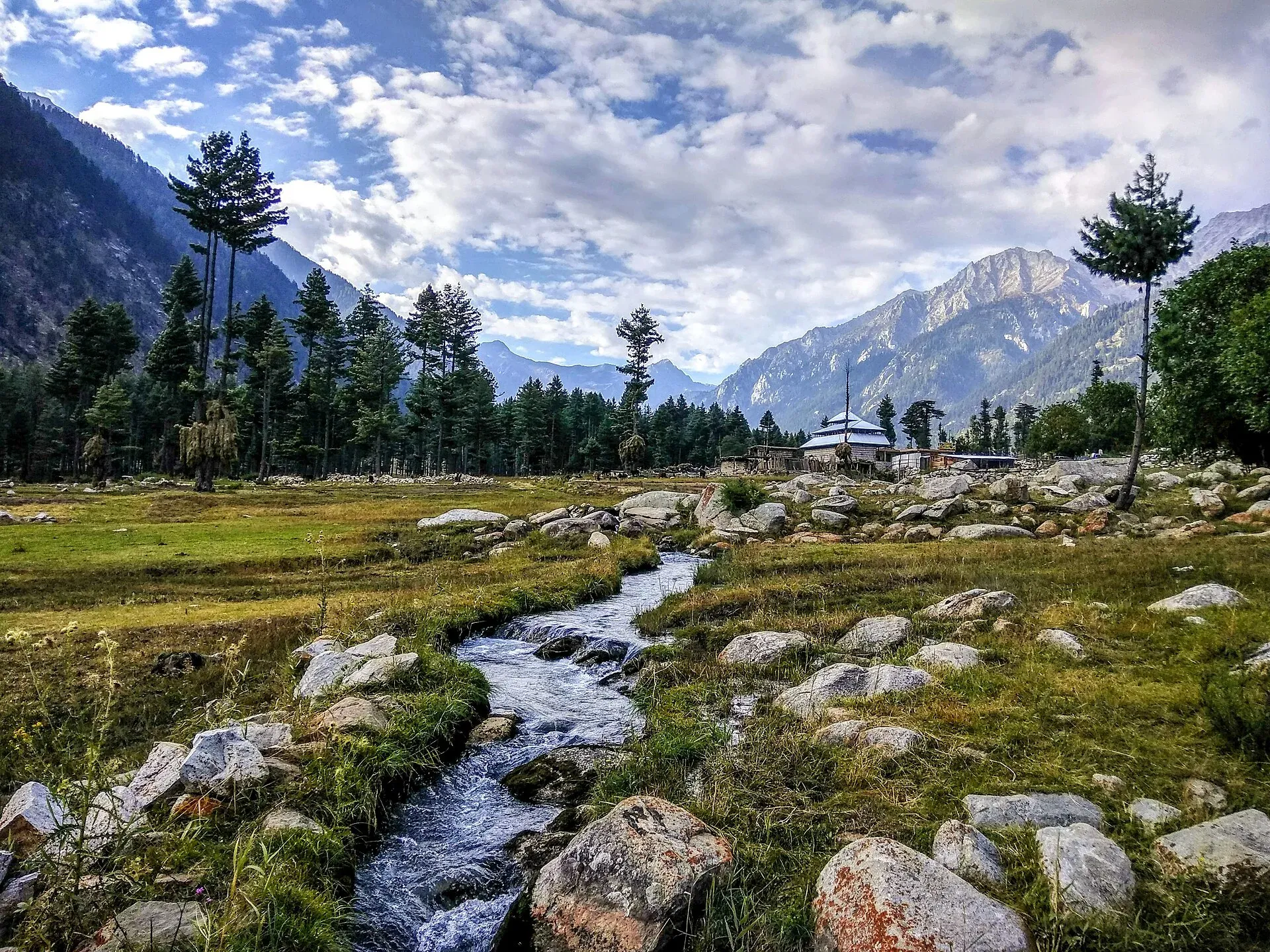
Photo: Ali Rasheed, with thanks · CC BY-SA 4.0 · via Wikimedia Commons · temporary stand-in photo
Kumrat Waterfall
A waterfall in Kumrat Valley, Upper Dir, in the Panjkora river area. Sources are thin and sometimes confusing. For foreign visitors: the UK FCDO advises against all travel to Upper Dir.
Overview
Kumrat Waterfall is in Kumrat Valley, Upper Dir district, Khyber Pakhtunkhwa. Tour operators and a photo caption from Associated Press of Pakistan use the name. Another APP report, datelined 12 July (the year is not shown), describes a waterfall called Black Cheshma in the valley during the monsoon. Whether the two are the same fall is not confirmed. Wikipedia names Kala Chashma (Black Spring) in the valley as a spring, not a waterfall, and says only that the valley has several waterfalls. No height, coordinates or trail details are published, so this page says only what can be supported.
Plan your visit
- Nearest town
- Thall
- Getting there
Reach Thall in Upper Dir, then follow the Panjkora River road into Kumrat Valley. APP puts Kumrat about 45 km from Thall. The fall's exact position is unconfirmed, so ask locally. Public transport details were not found. More
Best months
Jun – Sep
The valley
Kumrat is the upper section of the Panjkora Valley, on the banks of the Panjkora River, which divides into channels in several places. It covers about 346 km². Deodar trees stand on level ground beside the river, pine forest grows in the upper valley and oak in the lower. The valley is mainly home to the Gawri people. Deodar forests are being depleted because residents burn the wood for heating and cooking in winter.
What to see and do
- The fall. An operator's two-day programme visits the waterfall in the afternoon of the second day, after Kala Chishma, the Kumrat Jungle and the Panjkora River, then returns to a campsite in the Kumrat Jungle.
- The setting. APP describes deodar forests, alpine meadows, waterfalls and snow-covered peaks.
- Other stops. Tour packages usually pair the fall with Thall, an old mosque and Katora Lake.
Getting there
The valley is reached from Thall, in Upper Dir, along the Panjkora River. APP puts Kumrat about 45 km from Thall town. An operator's page gives 12 to 13 km from Thall for the fall itself, which conflicts, so no reliable distance can be given. Wikipedia, citing 2021 Express Tribune reports, says the road is unmetalled and only four-wheel-drive vehicles can use it. A visitor quoted by APP said the road from Patrak to Thall Bazaar needed urgent repair. No route calculation was run because the position of the fall is not confirmed.
When to visit
Summer brings visitors, and also the monsoon. APP reported intermittent rain, cool breezes and drizzle in July, with hotels, guesthouses and makeshift inns full in peak summer. Around Eid al-Fitr, Wikipedia says, about 2,000 vehicles enter the valley in a day.
Where to stay and eat
Many visitors pitch tents under the deodar trees, and makeshift camping spots stand on the river banks. Guesthouses operate in summer. No official list is known.
Good to know
- Safety. Monsoon rain can swell streams and loosen slopes. The poor road is a real hazard.
- Fees. No official fee information found; current fees will be added soon.
- Etiquette. Leave no litter in the valley. Local communities live here, so dress modestly and ask before camping.
- Travel advice. For foreign visitors: the UK FCDO page (updated 27 October 2026, checked 17 November 2026) advises against all travel to Upper Dir, Lower Dir and Swat (Kumrat itself is not named), and KP has been under emergency measures and Governor's Rule since 11 October 2026. Read the current page before any plan.
Highlights
- Waterfall within Kumrat Valley
- Panjkora River setting
- Often visited with Katora Lake
- Monsoon rain brings strong flow
Tips
- Confirm with local operators which fall they mean
- Do not rely on published distances
- Check FCDO advice and security news before travelling
- Expect rough roads in and out of Thall
Photos we still need: the waterfall itself. Send us yours
Sources and last checked
Last checked Confidence low5 sources3 still to check
- Last checked
- Method
- Desk research from published sources
- Confidence
- low
- Checked by
- trek.pk research team
Researched from published sources; not yet checked on the ground by our team. Spot something out of date? Report a mistake.
Sources
- Monsoon magic transforms Kumrat Valley (Black Cheshma waterfall) · Associated Press of Pakistan · checked
- Kumrat Valley waterfall (tour listing) · Apricot Tours · checked
- List of waterfalls in Pakistan · Wikipedia · checked
- Pakistan travel advice: warnings and insurance · UK Foreign, Commonwealth & Development Office · checked
- Kumrat Valley · Wikipedia · checked
Still to be checked on the ground (3)
- Which fall is called Kumrat Waterfall (Kala Chashma and an APP-reported fall may or may not be the same)
- Distance from Thall to the fall (APP: about 45 km to the valley; operator page: 12 to 13 km to the fall)
- Height and trail (no source found)

