

Photo: Umair khan, with thanks · CC BY-SA 4.0 · via Wikimedia Commons · temporary stand-in photo

Kumrat Valley
The upper Panjkora valley in Upper Dir, known for deodar forest, the Jahaz Banda meadow and Katora Lake. Access has been cut by floods and a collapsed bridge in 2025 and 2026.
Overview
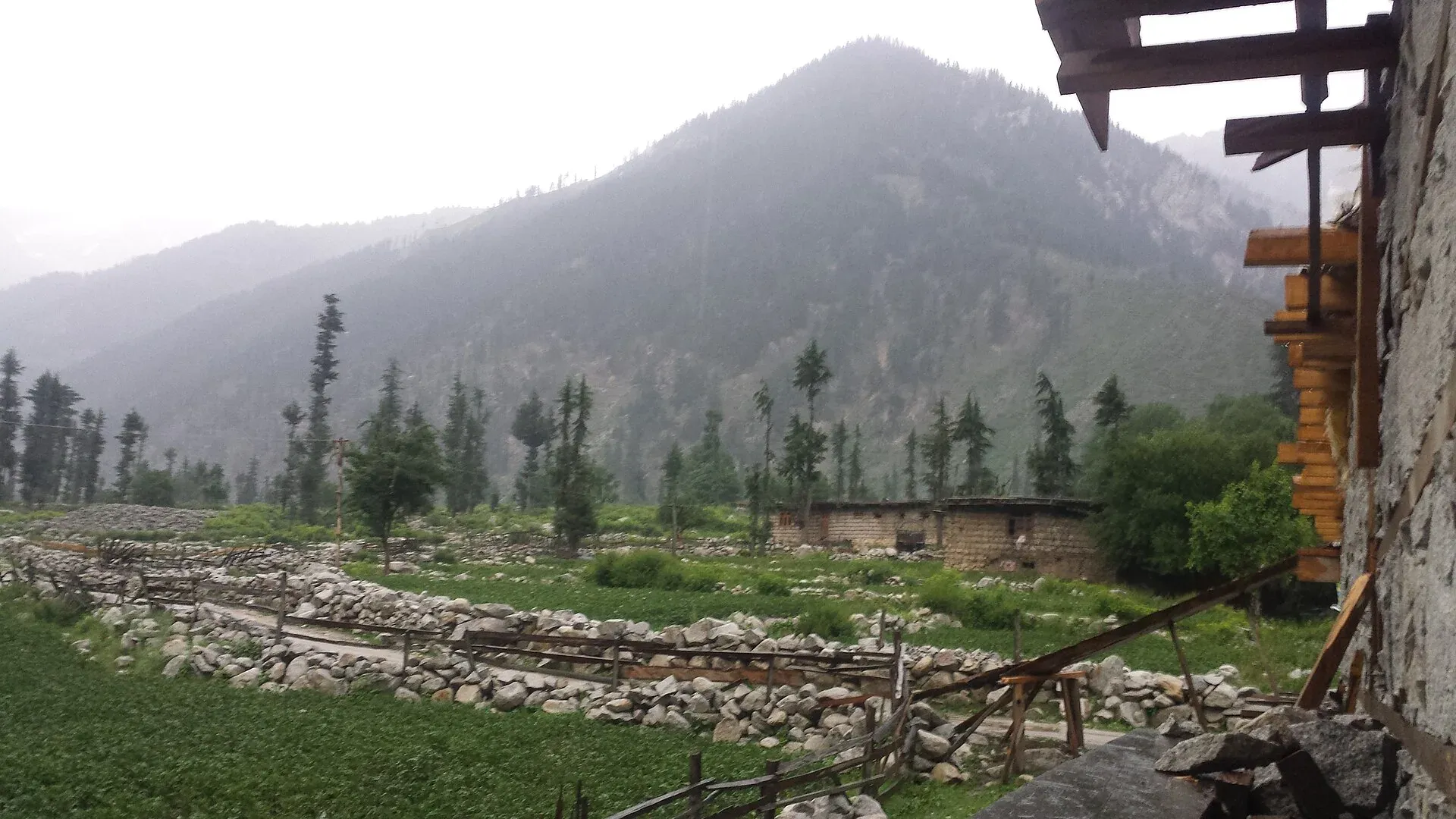
Kumrat is the upper part of the Panjkora Valley in Upper Dir District. It covers about 346 square kilometres, according to Wikipedia, and sits at the back of Swat Kohistan, behind Gabral. The valley is known for its deodar forest on flat ground beside the river, for waterfalls and for the Kala Chashma (Black Spring). Higher up are meadows and lakes, such as Jahaz Banda at about 3,100 m and Katora Lake.
The people are mainly Gawri. Pine forest grows in the upper valley and oak in the lower. Wikipedia lists black bear, wolf, musk deer and Astor markhor among the wildlife. Deodar forest is being lost because it is used for winter fuel.
Plan your visit
- Nearest town
- Thal
- Getting there
By road from Dir to Thal (OSRM Islamabad to Thal about 363 km, 4.4 h, optimistic), then unpaved road to Kumrat by 4x4. The Thal link bridge collapsed in late 2025 and floods cut the road again in August 2026; More
Best months
May – Oct
- Kumrat Valley
- Related places nearby: Katora Lake, Swat Valley, Kalam, Utror and Gabral, Panjkora Valley, Badawi Pass (Badgoi Pass), Thalo Pass
Getting there
The road runs from Dir town through Thal to Kumrat, and the stretch beyond Thal is unpaved. OSRM gives Islamabad to Thal at about 363 km and 4.4 hours. OSRM times are optimistic, and the unpaved road beyond Thal needs a 4x4 and several more hours.
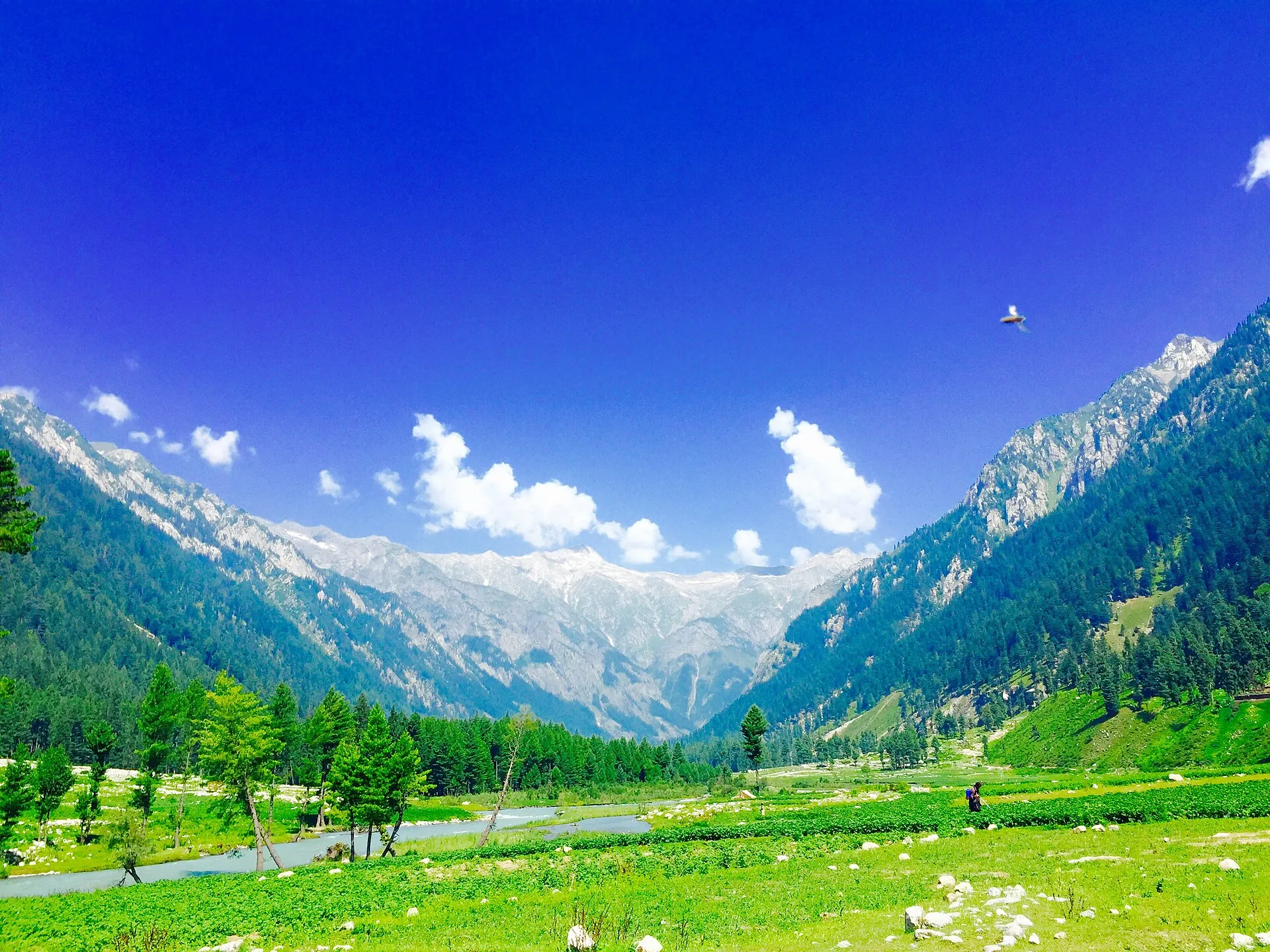
Photo: Haris akhon, with thanks · CC BY-SA 4.0 · via Wikimedia Commons · temporary stand-in photo

Access has been unreliable. The Thal Bazaar to Kumrat link bridge collapsed about four months before an Express Tribune report of 27 April 2026 and had not been rebuilt, and the Patrak to Kumrat road was still unfinished. A report dated 1 August 2026 said floods had washed out the main road at Brekot and swept away the Makrala and Thal bridges, leaving tourists stranded. Check the current position with the Upper Dir district administration, a local operator or a recent traveller before you go.
Villages and sights
- Thal. The last bazaar and the place for supplies, fuel and 4x4 hire.
- Kumrat forest and campsites. Deodar groves beside the Panjkora, where riverside campsites and simple huts stand. Do not camp on flood plains.
- Kala Chashma. A spring and waterfall in the valley.
- Jahaz Banda. A meadow at about 3,100 m. According to Wikipedia the road reaches Darwaza and Lamoti, then a jeep road rises to Jandrai, then a walk leads to the meadow.
- Katora Lake. A high lake above the valley, reached on foot.
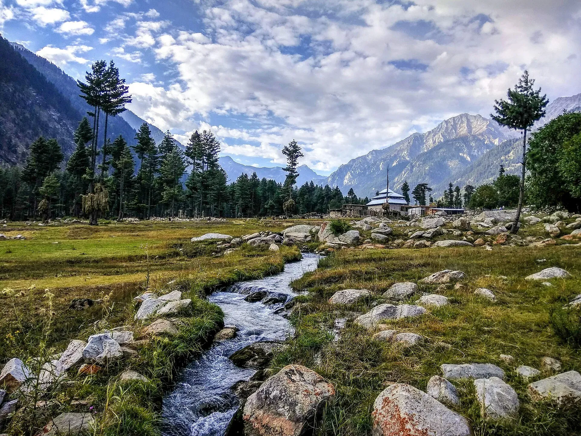
Photo: Ali Rasheed, with thanks · CC BY-SA 4.0 · via Wikimedia Commons · temporary stand-in photo

Treks and walks
The Jahaz Banda Day Hike starts at a jeep drop and climbs to the meadow. There is also a long crossing over the Thalo Pass to Laspur in Upper Chitral. Operators advertise it, but it needs a local guide and route confirmation, and its details have not been verified.
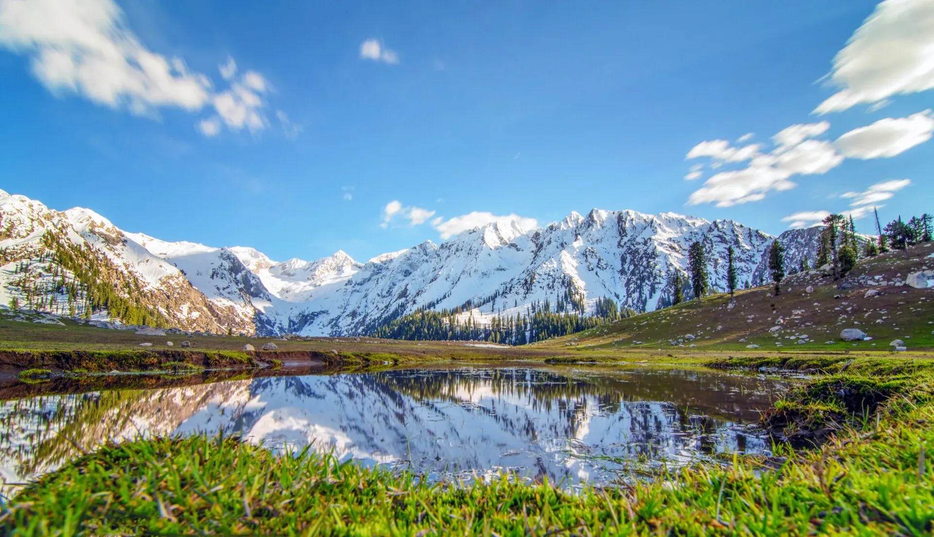
Photo: Shahbaz Aslam, with thanks · CC BY-SA 4.0 · via Wikimedia Commons · temporary stand-in photo

When to visit
May to October. The valley is cold and snowbound in winter, and the monsoon brings flash floods and landslides. A heavy visitor rush at Eid and in June strains roads and campsites.
Where to stay and eat
The valley has simple hotels, huts and campsites, most of them seasonal. A local news report in April 2026 said hotels lost money after poor access at Eid, and floods in August 2026 reportedly damaged hotels and restaurants. Carry cash, a sleeping bag and some food. Expect basic meals.
Culture and languages
Gawri is the local language, with Pashto and Urdu understood. The valley is conservative. Dress modestly, and ask before photographing people.
Safety and practical points
- Security advice. The UK Foreign Office advises against all travel to Upper and Lower Dir (checked 16 November 2026). Read current advice before planning any trip.
- Floods and landslides. Several floods have hit Kumrat, and a landslide in Upper Dir killed a family of 12 in the same week as the August 2026 floods. Do not camp near river channels, and watch the weather.
- Roads. Use a 4x4 with a local driver. Do not travel after dark.
- Stranding. If a bridge fails you may be stuck for days. Carry spare food and a charged phone.
Highlights
- Deodar forest beside the Panjkora River
- Jahaz Banda meadow at about 3,100 m
- Katora Lake
- Kala Chashma spring
- Riverside camping in season
Tips
- Check the Thal bridge and road status before leaving.
- Use a local 4x4 and driver.
- Do not camp on river flats.
- Carry cash, food and warm clothes.
Photos we still need: Thal bazaar and the unpaved road to Kumrat; Kala Chashma waterfall. Send us yours
Sources and last checked
Last checked Confidence medium7 sources4 still to check
- Last checked
- Method
- Desk research from published sources
- Confidence
- medium
- Checked by
- trek.pk research team
Researched from published sources; not yet checked on the ground by our team. Spot something out of date? Report a mistake.
Sources
- Kumrat Valley (Wikipedia) · Wikipedia · checked
- Jahaz Banda (Wikipedia) · Wikipedia · checked
- Kumrat tourism hit as neglect persists (27 April 2026) · The Express Tribune · checked
- KP's Kumrat Valley remains disconnected after main bridge collapse (1 August 2026) · The Pakistan Connect · checked
- Historic bridge collapse cuts off Kumrat valley's access in Upper Dir · APP · checked
- Pakistan travel advice (last updated 27 October 2026) · UK FCDO · checked
- OSRM routing · Project OSRM · checked
Still to be checked on the ground (4)
- Current state of the Thal bridge, Brekot road and Makrala bridge (latest dated report found: 1 August 2026, floods; on the ground)
- Whether the Patrak-Kumrat road is open to vehicles (Express Tribune, 27 April 2026: still incomplete after 10 years)
- Distance Thal to Kumrat and driving time (no source gives them)
- Thalo Pass crossing to Laspur (no source opened)
Nearby and related

Jahaz Banda Day Hike

Katora Lake
An alpine glacial lake at about 3,500 m above Jahaz Banda in the Kumrat valley, Upper Dir. A trek of several hours from the end of the jeep road.

Swat Valley
A long green river valley in northern Khyber Pakhtunkhwa, with Gandhara Buddhist sites, orchards, hill towns and the road up to Kalam. Check the current security advice before you plan a trip.

Kalam, Utror and Gabral
The head of the Swat valley: Kalam town where the Ushu and Gabral rivers meet, with Ushu forest, Utror and Kundol Lake, Gabral, and jeep tracks to Mahodand Lake.

Laspur Valley
A high side valley in Upper Chitral on the road to Shandur Pass, with Mastuj, Sor Laspur and lakes, and trek links to Swat and Ghizer. Information is limited, so confirm road and rules locally.

Khyber Pakhtunkhwa
Mountains, Buddhist ruins and old bazaars in north-west Pakistan: Swat, Kaghan, Chitral, the Kalash valleys, the Khyber Pass and Peshawar.
Laram Top
A hill top at about 2,590 m in Lower Dir, Khyber Pakhtunkhwa, known locally for its radar installations. FCDO advises against all travel to Lower Dir.

Panjkora Valley
The river valley of the Panjkora in Upper Dir, Lower Dir and Bajaur, from Kumrat down to its meeting with the Swat River. FCDO advises against all travel in Upper and Lower Dir.
Badawi Pass (Badgoi Pass)
An unpaved jeep pass of 3,523 m between Kumrat in Upper Dir and Utror in Upper Swat. Closed by snow roughly November to June. FCDO advises against all travel to Swat and Upper Dir.
Thalo Pass
A long high crossing between Kumrat in Upper Dir and Laspur in Upper Chitral, advertised by operators. Needs a local guide; route details and height are not verified.