

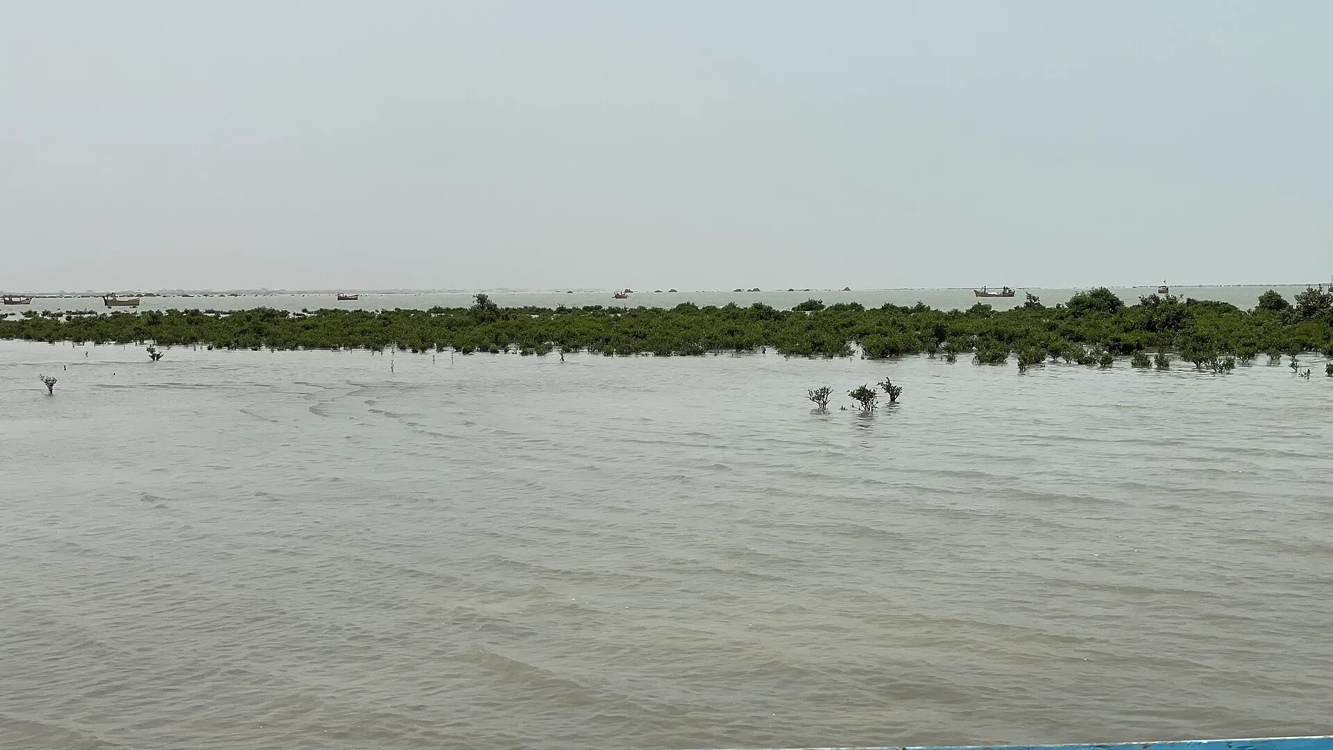
Photo: Crosji, with thanks · CC BY-SA 4.0 · via Wikimedia Commons · temporary stand-in photo

Miani Hor
A long coastal lagoon in Lasbela, Balochistan, and a Ramsar site since 2001. It has mangroves, including all three species found in Pakistan, and is fed by the Porali and Windor rivers.
Overview
Miani Hor is a swampy coastal lagoon (a "hor" is a tidal lagoon) in Lasbela District on the Balochistan coast, near Sonmiani Bay. It is about 60 km long and 4 to 5 km wide, with a mouth about 4 km wide, and covers about 7,471 hectares. Its depth is estimated at 25 to 30 m. It lies south-west of Uthal, the district headquarters, and about 95 km from Karachi.
Plan your visit
- Nearest town
- Sonmiani
- Getting there
Miani Hor is about 95 km from Karachi, on the Makran Coastal Highway (N-10) side near Sonmiani and Uthal; see Makran Coastal Highway. There are no known road directions to a specific boat landing; More
Best months
Nov – Mar
- Miani Hor
- Related places nearby: Sonmiani Beach, Hingol National Park
Water and mangroves
Two seasonal rivers, the Porali and the Windor, flow into the lagoon. Flash floods on the Porali can bring silt and debris to the coast.
The mangroves are the main feature. Miani Hor is described as the only place in Pakistan where three mangrove species grow naturally together: Avicennia marina, Rhizophora mucronata and Ceriops tagal. It was designated a Ramsar wetland of international importance on 10 May 2001 (site no. 1068). A 2025 news report cited by Wikipedia says Balochistan has also declared it the third marine protected area in Lasbela; the details of that protection are not set out in the sources opened.
Fishing and wildlife
Small-scale fishing communities depend on the coastal waters here. Illegal purse-seine nets, locally called wire nets or "gujja", and bottom trawlers are used along this coast despite bans, and they catch large numbers of juvenile and non-target fish. Fish stocks have fallen, and fishers have moved into deeper, more dangerous water.
Pufferfish swarm seasonally along the Lasbela coast, tear fishing nets and eat native shrimp. Sea turtles nest on beaches elsewhere on the Lasbela coast. No source opened gives a species list for birds or fish inside the lagoon, so check the Ramsar site record before you go.
What to see and do
- Mangrove boat trips. Local boatmen take visitors through channels and creeks near Sonmiani. Agree on route and price first.
- Birds. Wading birds and migrants use the lagoon, but no species list is published in the sources opened.
- Beaches. Sonmiani Beach and the coast nearby; Hingol National Park lies further west. See also Karachi coastal mangroves.
Threats
Plastic and litter from visitors and weak waste collection are a problem, especially at Sonmiani and Kund Malir beaches. Other threats named are untreated industrial waste, illegal mangrove cutting for timber and fuel, overgrazing by livestock and silt from land cleared for farming. Take your litter away and keep clear of nets and mangroves.
Getting there
The Makran Coastal Highway improved access to remote coastal settlements in Lasbela. Miani Hor is on the Sonmiani and Uthal side of it; see Makran Coastal Highway. No road directions to a specific boat landing are published, so ask in Sonmiani or Uthal.
When to visit
November to March for cooler weather. Summers are hot and humid.
Where to stay and eat
There is almost no tourist accommodation at the lagoon. Visit as a day trip from Karachi or arrange a stay in Uthal or Bela. Carry food and water.
Good to know
- Remote: few services. Tell someone your plans.
- Fees: boat hire is negotiated locally. Current fees will be added soon.
- Travel advice: ask the district administration or local police about current conditions before you go. For foreign visitors: the UK FCDO advises against all travel to Balochistan Province (advice updated 27 October 2026, checked 16 November 2026). Read the live advice before you plan.
Highlights
- Ramsar site since 2001
- About 60 km long coastal lagoon
- Only place in Pakistan with three natural mangrove species
- About 95 km from Karachi
Tips
- Go with a local guide or boatman
- Carry water and food
- Check security advice for Lasbela
- Visit in the cooler months
Wildlife
Photos we still need: mangrove channels inside Miani Hor lagoon. Send us yours
Sources and last checked
Last checked Confidence low2 sources4 still to check
- Last checked
- Method
- Desk research from published sources
- Confidence
- low
- Checked by
- trek.pk research team
Researched from published sources; not yet checked on the ground by our team. Spot something out of date? Report a mistake.
Sources
- Miani Hor · Wikipedia · checked
- Ramsar Sites Information Service: Miani Hor · Ramsar Convention · checked
Still to be checked on the ground (4)
- Road access and boat landings (Wikipedia gives only 'southwest of Uthal, about 95 km from Karachi')
- Security conditions (FCDO advises against all travel to Balochistan)
- Coordinates (Wikipedia 25.533 N, 66.200 E matches the page; still approximate for a lagoon 60 km long)
- Bird species list from the Ramsar site record
Nearby and related

Sonmiani Beach
Quiet village beach on Sonmiani Bay, about 80 km north-west of Karachi, next to the Miani Hor mangrove lagoon. A former port, now a small fishing settlement and a turtle beach. Balochistan is under FCDO 'all travel' advice.

Karachi Coastal Mangroves
The mangrove creeks on Karachi's southern edge, from Korangi Creek to Sandspit and Port Qasim, with a floating biodiversity park opened in September 2025.

Hingol National Park
Pakistan's largest national park, about 6,100 square kilometres along the Makran Coastal Highway: desert canyons, mud volcanoes, the Hingol River, the Princess of Hope rock and the Hinglaj Mata temple.

N-10 Makran Coastal Highway: Karachi-Gwadar
The N-10 runs 632 km along the Arabian Sea from Karachi to Gwadar past Hingol and Kund Malir. It lies almost wholly in Balochistan, where the UK FCDO advises against all travel, and public transport is barred at night.