

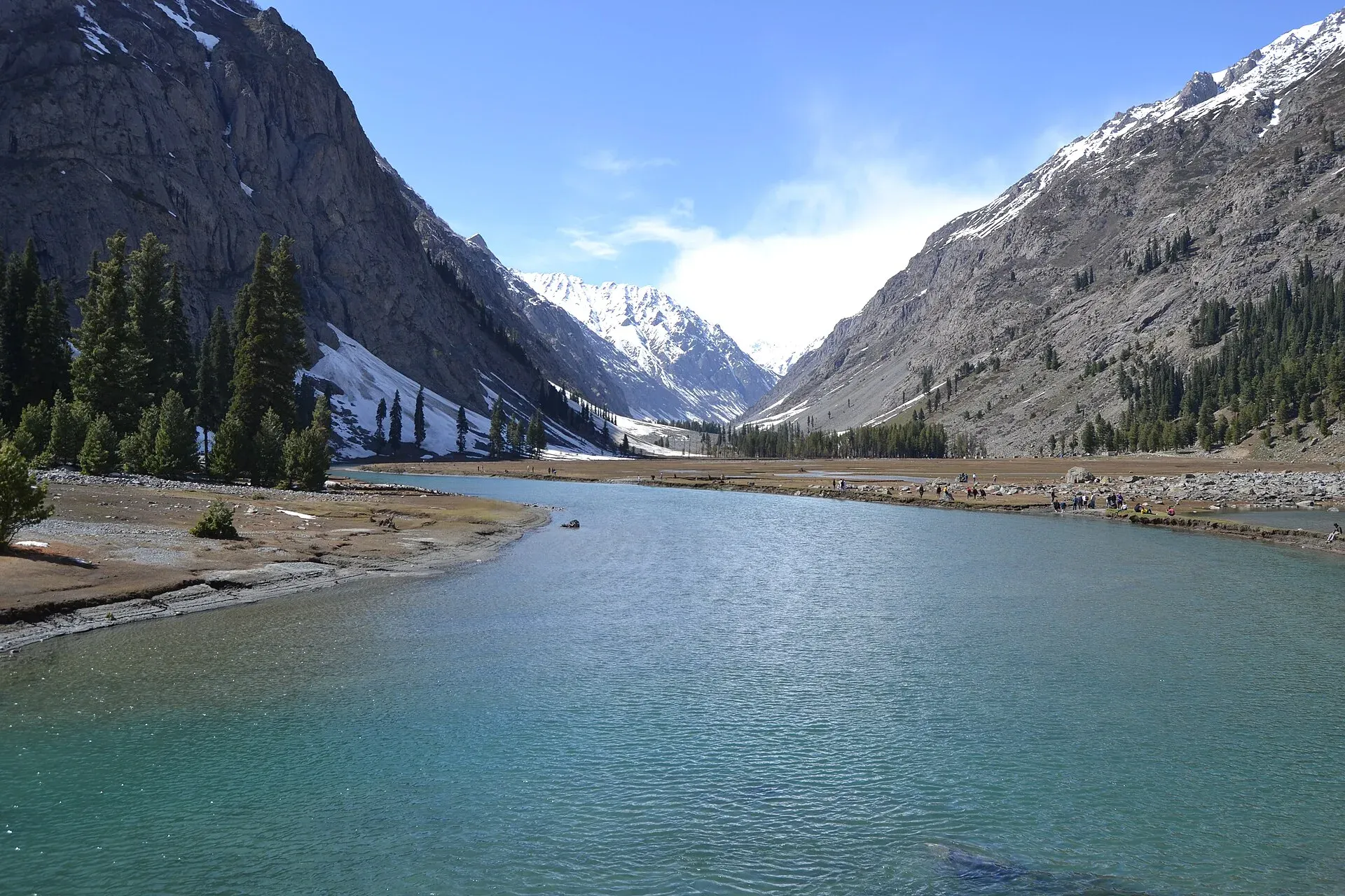
Photo: Xain, with thanks · CC BY-SA 3.0 · via Wikimedia Commons · temporary stand-in photo

Ushu Forest (Kalam)
A deodar and spruce forest in the Ushu valley above Kalam in upper Swat, about 2,300 m. A popular jeep trip and one of the forests most affected by illegal logging in Swat.
Overview
The Ushu Forest lies in the Ushu (also Usho) valley, a short distance above Kalam in upper Swat. Wikipedia gives the height of Usho village as about 2,300 m, and describes the valley as part of Swat Kohistan, in Behrain tehsil of Upper Swat district. Deodar (Cedrus deodara) dominates, with some Himalayan spruce and blue pine. Claims that it is the "largest deodar forest in Pakistan" and area figures (2 km long in one source, about 18,000 ha in another) come from promotional material and are not confirmed.
Plan your visit
- Nearest town
- Kalam
- Getting there
From Mingora, Kalam is about 98 km (OSRM, modelled 1.2 h). Ushu is about 16 km beyond Kalam on a rough road (modelled 0.5 h); jeeps are the norm. For foreign visitors: the UK FCDO advises against all travel to Swat. More
Best months
May – Oct
- Ushu Forest (Kalam)
- Related places nearby: Kalam, Mahodand Lake, Swat Valley
The valley and its people
Wikipedia says the name comes from the Gawri word oš, meaning "cold, ice", and that the valley is mainly home to the Gawri people. The area is known for cloudy, rainy forests. Kalam, at about 2,000 m, is the nearest town with services.
Distances differ between sources. Wikipedia puts Usho village about 8 km from Kalam, while the road distance modelled by OSRM is about 16 km. One travel site places the meeting of the Ushu and Utror rivers about 10 km north of Kalam, at roughly 3,200 m; treat that height as unconfirmed.
Getting there
The usual trip is by jeep from Kalam on an unpaved road. Mingora to Kalam is about 98 km (modelled 1.2 h) and Kalam to Ushu about 16 km (0.5 h), both OSRM estimates. The same travel site describes a hike from Kalam by the Matiltan route taking about five hours and calls it challenging; no other source describes it.
In winter the Ushu Glacier blocks the only road onward to Mahodand Lake, about 27 km away. The road reopens in summer after the snow melts and the authorities clear what is left.
What to see and do
Visitors come for the dark conifer forest, the Ushu river and the views of the valley and glaciers beyond. You can walk among the trees, picnic by the river and, in the right season, camp where the local community permits. Fishing and hiking are also mentioned by travel sites.
Mahodand Lake and Gabral are other forested stops from Kalam, covered on their own pages. Ushu is cooler and shadier than Kalam's main bazaar, which makes it a pleasant escape from summer crowds.
When to visit
May to October is the practical window. Snow covers the valley in winter and the unpaved road is difficult.
Where to stay and eat
Kalam has many hotels and restaurants. Some places in the Ushu valley offer simple camping or huts.
Illegal logging
Deodar is the main species cut and smuggled in Swat. An Express Tribune report of 14 October 2024 said satellite images showed hundreds of trees felled in protected forests near Kalam, Mahodand Lake and Ghabral, and that Global Forest Watch data showed the region's forest area fell 11% between 2001 and 2023. A Friday Times piece in 2019 named Ushu among the forests affected.
Good to know
- Ask the district administration or local police about current conditions before you go. Travel advice: For foreign visitors: the UK FCDO (updated 27 October 2026) advises against all travel to Swat, and notes KP emergency measures and Governor's Rule since 11 October 2026. Read the live page before you travel.
- Entry fees, if any, are not confirmed; current fees will be added soon.
Highlights
- Deodar forest at about 2,300 m
- Jeep trip from Kalam
- Near Mahodand Lake and Gabral
- Logging is a major threat
Tips
- Use a local jeep and driver
- Pack out rubbish
- Check the FCDO advice first
Photos we still need: the deodar forest itself, with trees in the frame. Send us yours
Sources and last checked
Last checked Confidence low6 sources7 still to check
- Last checked
- Method
- Desk research from published sources
- Confidence
- low
- Checked by
- trek.pk research team
Researched from published sources; not yet checked on the ground by our team. Spot something out of date? Report a mistake.
Sources
- Usho (Wikipedia) · Wikipedia · checked
- Swat Valley suffers large-scale deforestation (14 Oct 2024) · The Express Tribune · checked
- Whither Swat's Paradise (20 Sep 2019) · The Friday Times · checked
- Ushu Forest, Kalam · Pakistan Traveler · checked
- Pakistan travel advice (updated 27 October 2026) · UK Foreign, Commonwealth & Development Office · checked
- OSRM driving routes (modelled distance and time) · OSRM project · checked
Still to be checked on the ground (7)
- Forest area (one travel site says about 2 km long; promotional)
- Species mix (Friday Times and the travel site say deodar; no forestry source for the full mix)
- Current road and access
- Year of the Mahodand logging inquiry (not in the Friday Times 2019 piece or the Tribune 2024 article)
- Altitude of the forest itself (about 2,300 m is given for Usho village; no source for the forest)
- Distance from Kalam (about 8 km in one source, about 16 km by OSRM)
- The Matiltan walking route and the river confluence height (one travel site only)
Nearby and related

Kalam
The last large town in the upper Swat Valley, at about 2,000 m where the Ushu and Gabral rivers meet. Kalam is the base for Ushu, Utror, Mahodand Lake and Kundol Lake.

Mahodand Lake
A cold trout lake at about 2,865 m in the Usho valley above Kalam, reached by a rough 4x4 track of around 40 km. Open in summer only.

Swat Valley
A long green river valley in northern Khyber Pakhtunkhwa, with Gandhara Buddhist sites, orchards, hill towns and the road up to Kalam. Check the current security advice before you plan a trip.