

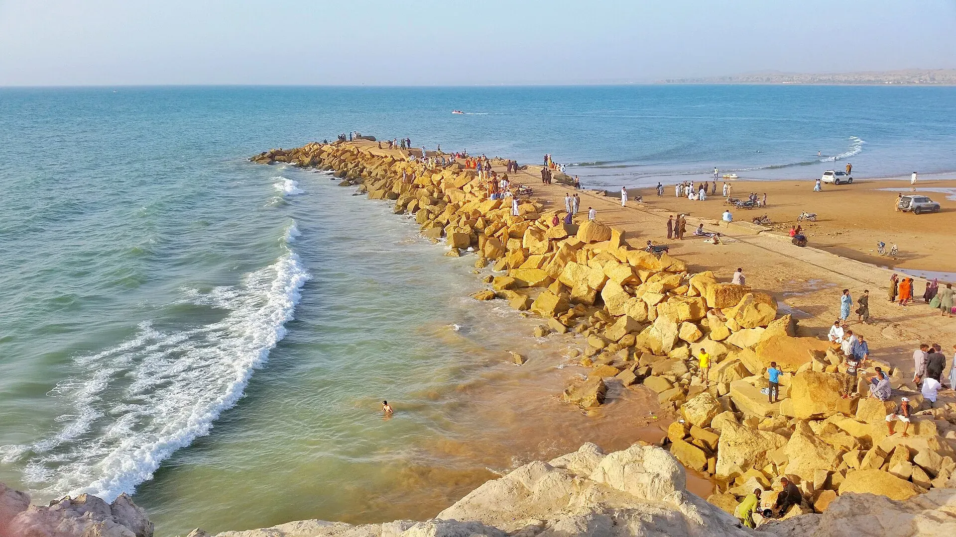
Photo: Muhammad Lashari, with thanks · CC BY-SA 4.0 · via Wikimedia Commons · temporary stand-in photo

Uthal
Headquarters of Lasbela District and Division, a small agricultural town on the road north of Karachi with a university campus.
Overview
Uthal is the headquarters of Lasbela District, Uthal Tehsil and Lasbela Division, in the south-east of Balochistan. The 2023 census counted 37,071 people (CityPopulation.de), up from 29,423 in 2017. Most are Baloch, followed by Sindhis and Pashtuns.
It is a farming and administrative town on the plain of the Lasbela area. It hosts the Lasbela University of Agriculture, Water and Marine Science, along with BRC College and a polytechnic college.
Plan your visit
- Getting there
Road: Karachi about 118 km (about 1 hour 25 minutes) (OSRM, checked 16 November 2026). Rail and air: none. More
Best months
Nov – Mar
The Lasbela area
Lasbela is a coastal district about 100 km north-west of Karachi. The Porali River, with its tributaries the Winder and the Wirhab, is its main river, and the Phor and Hingol rivers cross it to the Arabian Sea. In 2023 about three-quarters of residents gave Balochi as their language, with Sindhi, Brahui and Pashto also spoken.
The history is layered. A Buddhist ruler held Armanbel (modern Bela) in the 7th century, and the area lay on the route of Muhammad ibn al-Qasim into Sind. In 1742-43 Jam Ali Khan, a chief of the Jamote, took control with help from the Khan of Kalat. His descendants, the Jams of Lasbela, ruled until 1947, when Jam Ghulam Qadir Khan acceded to Pakistan. Hub District was carved out of Lasbela in 2022.
What to see and do
No visitor sights in the town itself are documented. Hub is the nearest large town, to the south-east. The Makran Coastal Highway and the beaches of the coast, including Hingol National Park, lie further south and west.
Climate and when to visit
Lasbela has a hot, humid subtropical climate. Summers often pass 45 degrees C, winters are mild at 10 to 20 degrees C, and rain is scarce at 60 to 100 mm a year. Winter is the comfortable season.
Where to stay and eat
Services are those of a district headquarters: expect a government hospital, pharmacies, fuel stations, banks or ATMs and basic guesthouses or hotels in the main bazaar. No verified list of facilities or businesses is available, so confirm before relying on any of them, and carry cash and fuel.
Good to know
Karachi is about 118 km (about 1 hour 25 minutes) by road (OSRM estimate, checked 16 November 2026, optimistic). Buses and vans use the highway. Quetta and Khuzdar are reached by long road routes. In August 2024 a bus carrying pilgrims back from Iran fell into a gorge near Uthal, killing 10 passengers.
Ask the district administration or local police about current conditions before you go. Safety: For foreign visitors, the UK FCDO advises against all travel to Balochistan, including Quetta and Ziarat (page updated 27 October 2026; checked 16 November 2026). This page does not recommend visiting as a tourist. Anyone who lives here or has essential business should follow current guidance from the provincial authorities and their embassy, and expect checkpoints. The FCDO also notes an ongoing risk of terrorism across Pakistan.
Highlights
- Headquarters of Lasbela District and Division
- Home of a university of agriculture and marine science
- On the highway north of Karachi
Getting there
Road: Karachi about 118 km (about 1 hour 25 minutes) (OSRM, checked 16 November 2026). Rail and air: none.
Hotels, food, fuel and services in Uthal
Places to stay
- Hingol Hostel, LUAWMSMap of Hingol Hostel, LUAWMS in Google Maps
Places to eat
- Cafe New Al Saudia RestaurantCall Cafe New Al Saudia RestaurantMap of Cafe New Al Saudia Restaurant in Google Maps
- Super Pisheen HotelMap of Super Pisheen Hotel in Google Maps
Essential services fuel stations, ATMs, pharmacies and hospitals and clinics
Fuel
- Abdullah Petrol PumpMap of Abdullah Petrol Pump in Google Maps
ATMs
Pharmacies
- Prince Store UthalMap of Prince Store Uthal in Google Maps
Hospitals and clinics
- Dr Tola Ram ClinicMap of Dr Tola Ram Clinic in Google Maps
Listings come from Google Maps data and are unverified: phone numbers, opening months and prices may have changed. Report a problem · Own one of these? Claim it
Tips
- Avoid night driving on highways.
- Carry water, cash and fuel.
- Check security advice before travel.
Photos we still need: Uthal town or the Porali River plain (the current photo shows Gadani Beach elsewhere in Lasbela). Send us yours
Sources and last checked
Last checked Confidence medium5 sources3 still to check
- Last checked
- Method
- Desk research from published sources
- Confidence
- medium
- Checked by
- trek.pk research team
Researched from published sources; not yet checked on the ground by our team. Spot something out of date? Report a mistake.
Sources
- Uthal, Pakistan · Wikipedia · checked
- Balochistan: major cities, municipalities and towns, 2023 census (from Pakistan Bureau of Statistics) · CityPopulation.de · checked
- OSRM driving routes (road distances and times) · Project OSRM / OpenStreetMap · checked
- Pakistan travel advice (updated 27 October 2026) · UK Foreign, Commonwealth & Development Office · checked
- Lasbela District · Wikipedia · checked
Still to be checked on the ground (3)
- Altitude (no source gives one)
- Services and lodging (no source lists them)
- Road safety and security (Aug 2024 bus crash near Uthal; no road safety report opened)
Nearby and related

Balochistan
Pakistan's largest and least populated province: Quetta's high valleys, Ziarat's juniper forest, the Makran coast, Hingol and Gwadar. Security and permission rules need checking first.

Karachi
Pakistan's largest city and main port: colonial buildings, museums, beaches, busy bazaars and some of the country's best food.

Hub
Industrial town and headquarters of Hub District, just over the Sindh border from Karachi, on the Karachi–Quetta and coastal roads.