

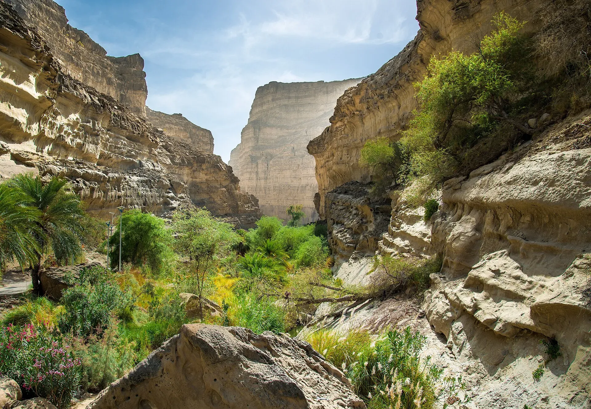
Photo: Balochistan, Pakistan, with thanks · CC BY-SA 4.0 · via Wikimedia Commons · temporary stand-in photo

Balochistan
Pakistan's largest and least populated province: Quetta's high valleys, Ziarat's juniper forest, the Makran coast, Hingol and Gwadar. Security and permission rules need checking first.
Overview
Balochistan is Pakistan's largest province by area, covering roughly 347,000 square kilometres (347,190 km2), or about 44 per cent of the country, and one of its least populated, with 14.9 million people at the 2023 census (14,894,402). The land is mostly high plateau, desert and bare mountain, including the Sulaiman, Toba Kakar and Central Brahui ranges and the Kirthar range near the Sindh border. It also has about 770 km of Arabian Sea coast. Quetta, at about 1,680 m, is the capital. The main peoples are the Baloch, Pashtun and Brahui.
Plan your visit
- Getting there
By air. Quetta has Quaid-e-Azam International Airport (UET) with flights mainly to Karachi, Lahore and Islamabad. More
Best months
Mar – May, Sep – Nov
What it is best for
- Wide, empty landscapes: desert, canyon and coast, with very few visitors.
- Natural wonders on the Makran coast: Kund Malir beach, the Princess of Hope rock formation and Hingol National Park.
- Mountains and old forest: Ziarat and the Pir Ghaib area.
- Early history: Mehrgarh near the Bolan Pass is one of the earliest farming settlements in South Asia, dating to around 7000 BCE.
- Pilgrimage: the Hinglaj Mata temple in Hingol is visited by Hindu pilgrims, mostly in spring.
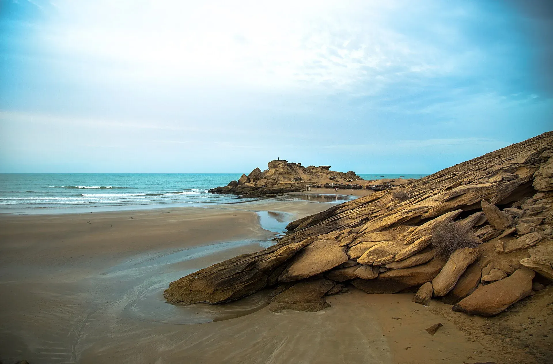
Photo: Balochistan, Pakistan, with thanks · CC BY-SA 4.0 · via Wikimedia Commons · temporary stand-in photo

Regions at a glance
- Quetta and the northern highlands. The capital, Hanna Lake and its orchard valley, and the juniper forest around Ziarat. See Quetta, Hanna Lake and Ziarat.
- The Makran coast. The Arabian Sea shore with Kund Malir, Hingol National Park and Gwadar. See Hingol National Park, Kund Malir and Gwadar.
- Kalat and Jhalawan. The central plateau, historically the Khanate of Kalat; Khuzdar was the capital of its Jhalawan region. See Kalat and Khuzdar.
- The Bolan Pass and Kachhi plain. The Bolan Pass area, with the early farming site of Mehrgarh nearby. See Mehrgarh.
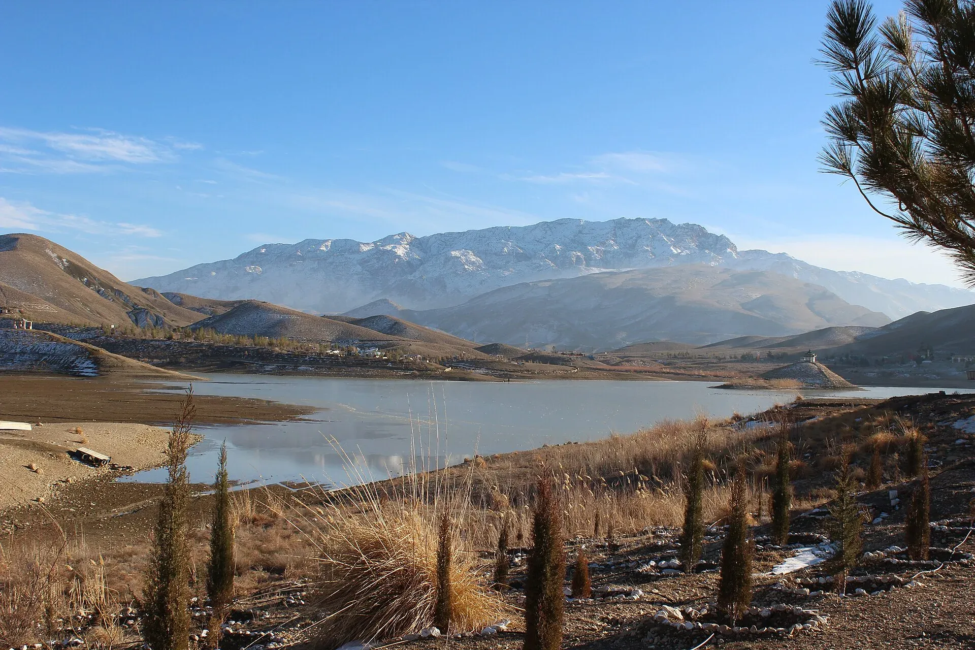
Photo: Aysafaran, with thanks · CC BY-SA 4.0 · via Wikimedia Commons · temporary stand-in photo

Top places
- Quetta: bazaars, Hanna Lake, Hanna Urak valley orchards, Askari Park and the Command and Staff College Museum.
- Ziarat: juniper forest and the Quaid-e-Azam Residency.
- Hingol National Park and Kund Malir: the largest national park in Pakistan.
- Gwadar: port city, Marine Drive and the hammerhead peninsula.
- Astola Island: a marine-life island offshore, reached by boat.
- Bolan Pass and Mehrgarh.
- Kharan Desert and Chiltan hills.
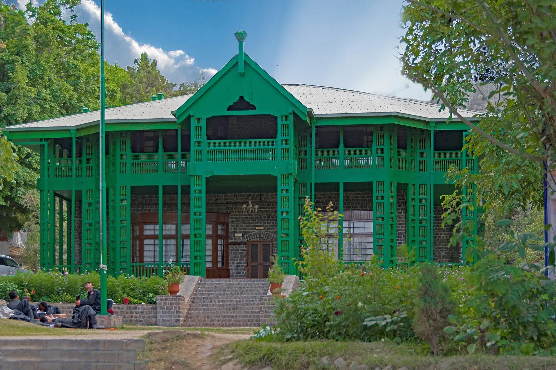
Photo: Balochistan, Pakistan, with thanks · CC BY-SA 4.0 · via Wikimedia Commons · temporary stand-in photo

When to go
Spring and autumn are best for Quetta and the highlands. Quetta winters are cold with snow, and summers are mild. Ziarat is pleasant from May to October. The Makran coast is best from October to March; summer is very hot and windy. Heavy rain and floods in 2022 damaged roads and bridges in several districts.
Getting around
Distances are huge and roads can be rough. Public buses and shared vans run between towns, but most visitors use hired vehicles with local drivers. Travel in daylight. On the Makran coast, fuel and drinking water should be planned carefully.
Permits and rules for visitors
- Pakistani visitors do not usually need a permit for main roads, but checkpoints and police or levies escorts may apply in some districts.
- Foreign visitors need a visa and, in many cases, permission or a No Objection Certificate for travel in Balochistan, with escorts required in some areas. Rules and security arrangements change, so ask the Balochistan government's tourism and home departments or a registered operator before you plan.
- Fees at national parks and sites may apply. Current fees will be added soon.
People, culture and food
Balochi, Brahui, Pashto and Urdu are widely spoken. Hospitality is a strong tradition, with guests offered tea first. Crafts include Baloch embroidery and mirror-work, and rugs.
The best-known dish is sajji, a whole lamb or chicken roasted slowly over coals. Others include landi (dried meat), khaddi kebab, and fresh fruit from Quetta, such as apples, cherries, pomegranates and almonds.
Safety
Security in Balochistan is a serious concern. Ask the district administration or local police about current conditions before you go. For foreign visitors: the UK FCDO advises against all travel to Balochistan Province, including Quetta and Ziarat (advice updated 27 October 2026, checked 17 November 2026), and violent incidents have occurred on roads and in towns. Read the live advice and check and the latest local news before you plan, and avoid night travel. Other hazards are extreme heat on the coast, flash floods in dry riverbeds, and long distances between medical facilities. Quetta also has a seismic risk, as seen in the 1935 earthquake.
Highlights
- Ziarat juniper forest, among the oldest in the world
- Hingol National Park, Kund Malir and the Makran Coastal Highway
- Quetta, Hanna Lake and the orchards of Urak
- Mehrgarh, a Neolithic site of about 9,000 years ago
- Gwadar's coast and port
Getting there
By air. Quetta has Quaid-e-Azam International Airport (UET) with flights mainly to Karachi, Lahore and Islamabad. Gwadar's New Gwadar International Airport opened to commercial flights in January 2025 (first flight from Karachi, Dawn); a private airline, South Air, began a Karachi service in 2026, but we have not confirmed the current schedule. Check with the airlines.
By road. N-25 links Karachi to Quetta via Hub, Khuzdar and Kalat. N-40 goes west from Quetta towards Taftan. N-65 runs from Quetta through the Bolan Pass towards Sukkur. The Makran Coastal Highway (N-10) links Karachi, Kund Malir, Ormara and Gwadar, about 650 km. Long stretches have few services.
By train. The Quetta line crosses the Bolan Pass from Rohri and Sukkur. Services have been suspended repeatedly for security reasons in 2026 (Dawn and The Express Tribune reported suspensions and restorations from March to June 2026), and Dawn reported on 14 August 2026 that the Bolan Mail from Quetta to Karachi had been suspended for about six months. We have not confirmed current status, so check Pakistan Railways before you plan around a train.
Tips
- Check current security and any official permission requirements before planning; they can change quickly.
- Travel by day, keep to main roads and ask local hosts about the road ahead.
- Carry your CNIC or passport and copies; checkpoints are frequent.
- Pack for large temperature swings: Quetta is cold in winter and the coast is hot.
- Fuel, food and phone signal can be far apart on the Makran coast; carry spare supplies.
Photos we still need: a Balochi meal such as sajji for the people, culture and food section; a road scene or bus for the getting-around section. Send us yours
Sources and last checked
Last checked Confidence low14 sources4 still to check
- Last checked
- Method
- Desk research from published sources
- Confidence
- low
- Checked by
- trek.pk research team
Researched from published sources; not yet checked on the ground by our team. Spot something out of date? Report a mistake.
Sources
- Pakistan Tourism Guide 2021 · Trade Development Authority of Pakistan (TDAP) · checked
- Balochistan, Pakistan · Wikipedia · checked
- Hingol National Park · Wikipedia · checked
- Mehrgarh · Wikipedia · checked
- Makran Coastal Highway · Wikipedia · checked
- 2023 census of Pakistan (provincial populations) · Wikipedia · checked
- List of airports in Pakistan · Wikipedia · checked
- Foreign travel advice: Pakistan (updated 27 October 2026) · UK FCDO · checked
- Quetta · Wikipedia · checked
- First flight lands at new Gwadar airport · Dawn · checked
- Train services partially restored in Quetta (April 2026) · The Express Tribune · checked
- Jaffar Express resumes service from Quetta (2026) · Dawn · checked
- Foreign travel advice Pakistan: warnings and insurance · UK FCDO · checked
- Jaffar Express suspended (14 August 2026) · Dawn · checked
Still to be checked on the ground (4)
- NOC and escort rules for foreign and Pakistani visitors (no official published rule found)
- Railway service status to Quetta (changes often; check Pakistan Railways)
- Flight schedules to Quetta and Gwadar (check the airlines)
- Coastline length (about 770 km): not confirmed in the sources checked (Wikipedia pages for Gwadar and Makran Coastal Highway give no figure; the CIA World Factbook page is discontinued)
Nearby and related

Quetta
Balochistan's high-valley capital, the Fruit Garden of Pakistan: bazaars, sajji, orchard valleys and the base for Hanna Lake and Ziarat.

Ziarat
A cool hill town at about 2,500 m in northern Balochistan, famous for the Quaid-e-Azam Residency and nearby juniper forest. UK advice is against all travel to Balochistan, including Ziarat (checked 16 November 2026).

Hingol National Park
Pakistan's largest national park, about 6,100 square kilometres along the Makran Coastal Highway: desert canyons, mud volcanoes, the Hingol River, the Princess of Hope rock and the Hinglaj Mata temple.

Kund Malir
Remote Arabian Sea beach at the edge of Hingol National Park, about 236 km west of Karachi on the Makran Coastal Highway. Fuel and food are scarce. Balochistan is under UK FCDO 'all travel' advice.

Gwadar
Arabian Sea port town and Gwadar District headquarters, a fishing settlement that Pakistan bought from Oman in 1958 and now a CPEC port.

Hanna Lake
A reservoir built in 1894 about 17 km east of Quetta at the start of the Urak Valley. Popular for boating, but water levels have been low or dry in several recent years.

Mehrgarh
One of the oldest farming villages in South Asia, on the Kachhi Plain near the Bolan Pass in Balochistan. People lived here from about 7000 BCE, and the site is on Pakistan's UNESCO tentative list (2004).

Bolan Pass
An 89 km gorge route from Sibi to Quetta, with a highway and a railway. A key route since early times, but the FCDO advises against all travel in Balochistan.

Astola Island
Pakistan's largest offshore island, 6.7 km2, 25 km off the Makran coast and a marine protected area. It is uninhabited, and visits need permission.

Khuzdar
The main city of central Balochistan, once the Jhalawan capital of the Khanate of Kalat, at about 1,237 m on the road between Quetta and Karachi.

Kalat
Historic capital of the Khanate of Kalat in the Central Brahui Range, now headquarters of Kalat District and Division.

Karachi, Makran Coastal Highway and Gwadar
A reference page for the 632 km Makran Coastal Highway (N-10) from Karachi to Gwadar. For foreign visitors: the UK FCDO advises against all travel to Balochistan, and night travel is restricted on the road. Not recommended without current local advice.
Quetta, Ziarat and Hanna Lake
A three-day road trip from Quetta to Hanna Lake and the juniper forests and Quaid-e-Azam Residency at Ziarat, 124 km from Quetta. For foreign visitors: the UK FCDO advises against all travel to Balochistan; check current advice before planning.
N-10 Makran Coastal Highway: Karachi-Gwadar
The N-10 runs 632 km along the Arabian Sea from Karachi to Gwadar past Hingol and Kund Malir. It lies almost wholly in Balochistan, where the UK FCDO advises against all travel, and public transport is barred at night.