

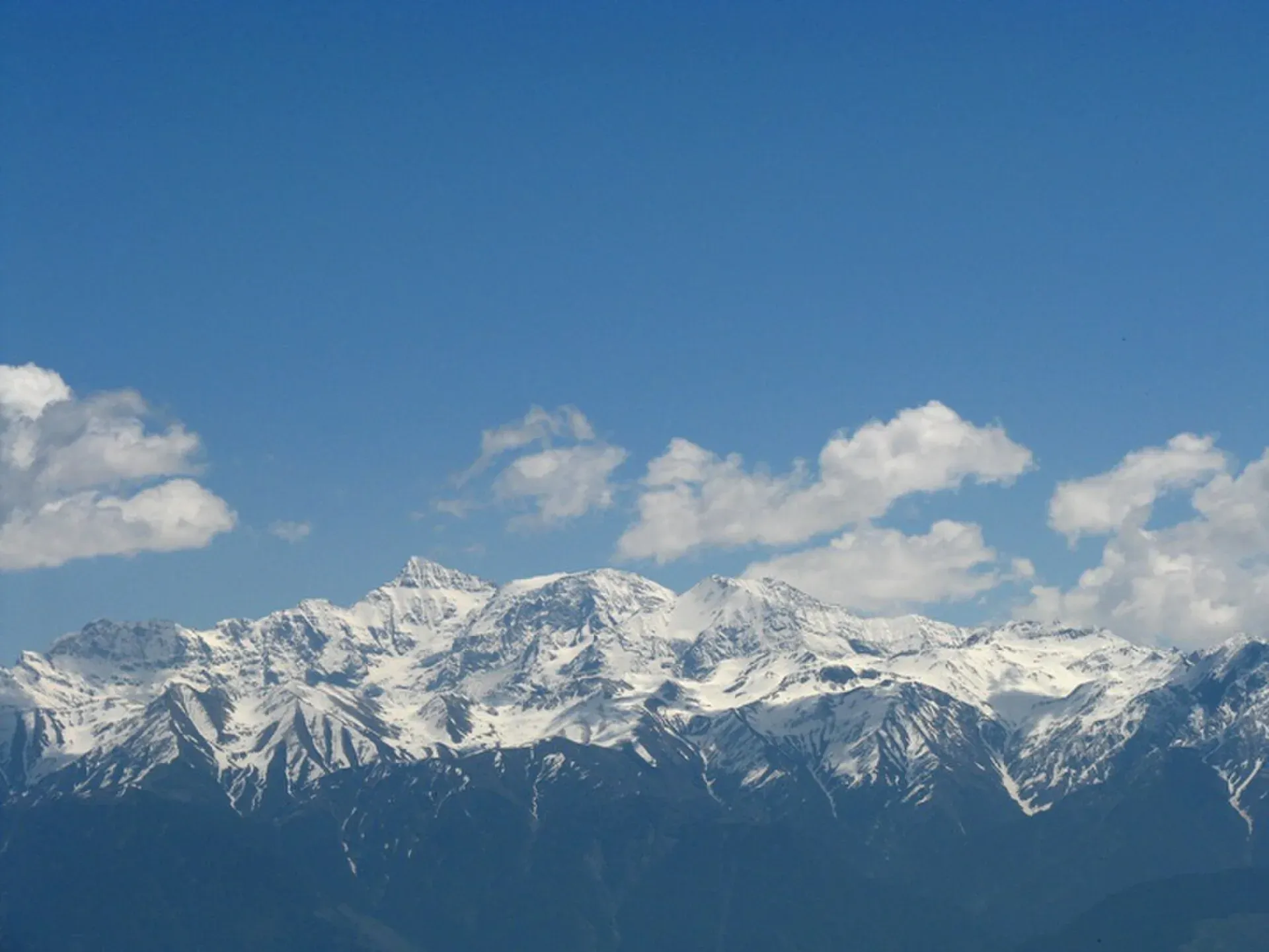
Photo: Just Jimish, with thanks · CC BY 2.0 · via Wikimedia Commons · temporary stand-in photo
Pir Panjal (north-west end)
The Pir Panjal is a Lesser Himalayan range that mostly lies in India. Only its north-western end reaches Azad Kashmir, with modest hills, passes and lakes.
Overview
The Pir Panjal is the largest and westernmost range of the Lesser Himalaya. Most of it is in India, between the Beas and Neelum (Kishanganga) rivers. Only the north-western end extends into Azad Kashmir. Its highest peaks, such as Indrasan (6,221 m) and Deo Tibba (6,001 m), are in India. Pakistan has no major summit in this range.
What you will find on the Pakistani side
The Pakistani end is a landscape of forested hills and pastures rather than snow peaks.
- Ganga Choti (3,045 m, in Bagh District, a figure Wikipedia attributes to AJK Tourism) is a well-known hill summit in Azad Kashmir.
- Toli Pir (about 2,743 m, roughly 30 km from Rawalakot) and Banjosa Lake (about 1,981 m, 18 km from Rawalakot) are popular day trips from Rawalakot, in Poonch District.
- Haji Pir Pass (2,637 m) lies on the Poonch-Uri route. Wikipedia says India took it in 1948 and 1965; its present control is described unclearly there, so check before you rely on it.
Which hills in Azad Kashmir belong to the Pir Panjal is not always stated clearly in sources. Wikipedia's Toli Pir and Banjosa Lake articles do not mention the Pir Panjal, so we have not confirmed that they belong to it.
When to go
Hill hikes in Azad Kashmir are best from May to October. This is an estimate. Higher areas can have snow in winter.
Good to know
- Gateways: Rawalakot and Bagh.
- Parts of Azad Kashmir close to the Line of Control are subject to access rules. Follow the current official guidance and do not enter restricted areas.
- Peaks of the Neelum and Kaghan valleys, such as Malika Parbat, are not assigned to a range here because we have not confirmed it.
Travel advice
Ask the district administration or local police about current conditions before you go. For foreign visitors: the UK FCDO advises against all but essential travel to Azad Jammu and Kashmir, and against all travel within 10 miles of the Line of Control (advice updated 27 October 2026, checked 17 November 2026). Read the live advice before you plan.
Geology
The westernmost Lesser Himalayan range, running between the Beas and the Neelum (Kishanganga) rivers. Little detail is available for the Pakistani end.
Notable peaks
Sources and last checked
Last checked Confidence medium6 sources4 still to check
- Last checked
- Method
- Desk research from published sources
- Confidence
- medium
- Checked by
- trek.pk research team
Researched from published sources; not yet checked on the ground by our team. Spot something out of date? Report a mistake.
Sources
- Pir Panjal Range · Wikipedia · checked
- Ganga Choti and Pir Panjal hikes · TripMaker · checked
- Ganga Choti (Wikipedia) · Wikipedia · checked
- Toli Pir · Wikipedia · checked
- Banjosa Lake · Wikipedia · checked
- Pakistan travel advice · UK FCDO · checked
Still to be checked on the ground (4)
- Ganga Choti is the highest named point found on the Pakistani side, but no source says it is the highest: Wikipedia's article makes no such claim
- Whether Toli Pir and Banjosa belong to the Pir Panjal: Wikipedia's pages on them do not say; Ganga Choti is stated to be in the Pir Panjal (Wikipedia, citing a 2015 Tribune piece)
- Length of the Pakistani portion: no source gives it (Wikipedia does not even give the whole range's length)
- Season dates: estimate; no source found

