

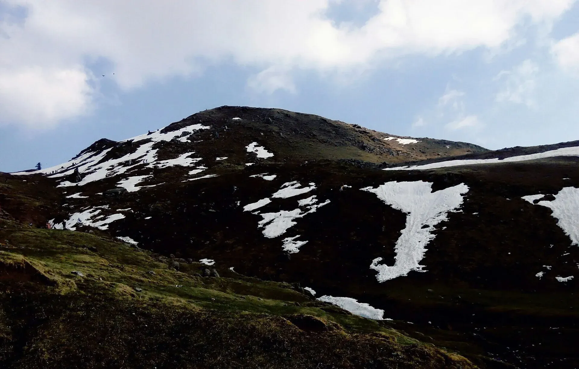
Photo: BushraKhalid494, with thanks · CC BY-SA 4.0 · via Wikimedia Commons · temporary stand-in photo

Ganga Choti Trail
- Duration
- 1 day
- Distance
- 8 km
- Grade
- Moderate
- Max altitude
- 3,045 m
- Season
- May – Oct
A hill hike above Sudhan Gali in Bagh District to Ganga Choti (about 3,045 m), in the Pir Panjal. About 8 km up from Sudhan Gali; blogs give around 4 hours.
Overview
Ganga Choti is a peak in Bagh District, Azad Kashmir, in the Pir Panjal range of the Lower Himalayas, at about 3,045 m (Wikipedia; TDAP lists it among sights). It sits between Birpani union council and Sudhan Gali, in the village of Bani Minhasan. The hike is usually done from Sudhan Gali, a small hill station. A Dawn writer (2016) reached a hilltop view of Ganga Choti from the town, with the border with Indian-administered Kashmir visible behind it.
Who it suits
Hikers of ordinary fitness. The distance is moderate but sustained. Children and older walkers can use an off-road vehicle to shorten the climb. The route is not technical, but the track is rocky and turns to mud in rain.
When to go
May to October is the main season (our estimate). Winter snow closes the high ground; the AJK Winter Sports Association has held winter events in the area in recent years (Wikipedia). Avoid cloudy or wet days. Dawn's writer was caught in a heavy downpour on the track, with only trees for shelter, and advised against going in cloudy weather.
Getting to Sudhan Gali
Sudhan Gali stands at about 7,800 ft (roughly 2,380 m) according to a signboard in its bazaar, a little higher than Murree. Dawn describes a small bazaar of about a dozen shops and a couple of dhabas (roadside eateries), plus a five-room guesthouse run by the AJK Tourism Department about ten minutes' walk away. Eateries closed around 6 pm when the writer visited, so eat before dark. From Bagh bus stand a shared minibus took about two hours. The name is said to come from the Sudhan Zai tribe.
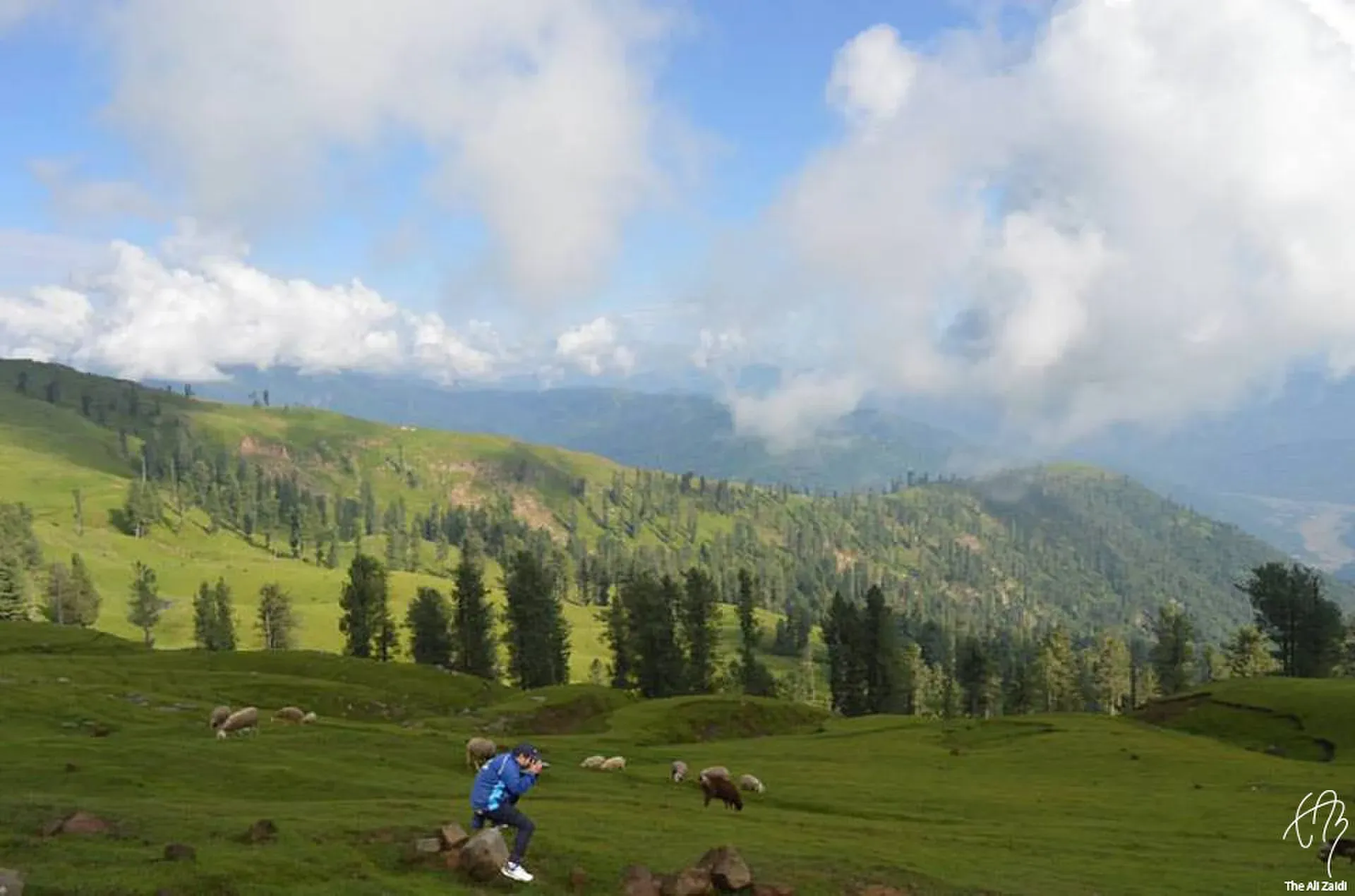
Photo: Syed Ali Zaidi 1167, with thanks · CC BY-SA 4.0 · via Wikimedia Commons · temporary stand-in photo

The route
Two approaches exist, one from Chikkar and one from the Bagh to Sudhan Gali road. From Sudhan Gali, several walking tracks start near the town. Dawn describes the route to Ganga Choti as about 8 km uphill. The road is paved at first, then turns rocky and muddy after roughly a quarter of the way. Small trucks use it, and vehicles can stick in the mud. Trucks stop at a hilltop, and from there a walk of about 20 minutes leads to the vantage point. Wikipedia, by contrast, gives Sudhan Gali as about 4 km from the peak, so the walking distance depends on where you start and how far a vehicle takes you. A blog quotes about 4 hours on foot. The summit offers views across the Pir Panjal ranges.
Culture and people
The area is rural, with villages, farms and grazing cattle and sheep. Sudhan Gali has cold springs, a few shops and hotels, and little night life. Show courtesy to residents and ask before photographing people or entering fields.
Practical information
- Wikipedia says Sudhan Gali is about 4 km from Ganga Choti, and the town has hotels.
- OSRM measures Sudhan Gali about 172 km from Islamabad by road (about 2 hours 10 minutes of pure driving; travel guides say 5 to 6 hours to Bagh).
- Carry water, snacks and a rain layer. Dawn's writer picnicked at the top for about three hours; the return was faster.
- Mobile signal may be weak.
- Electricity cuts were frequent in Sudhan Gali in 2016, so bring a torch.
Highlights
- Summit near 3,045 m in the Pir Panjal
- Starts near Sudhan Gali
- Option of off-road vehicle
- Views over the ranges
Day by day
- StartSudhan Gali
- Day 1Ganga Choti
| Day | Route | Hours | Distance | Ascent / descent | Camp and altitude |
|---|---|---|---|---|---|
| Day 1 | Sudhan Gali to Ganga Choti | about 4 h (blog estimate) | not given | not given | not given |
Day 1 notesWalk uphill from Sudhan Gali along the road and tracks, through forest and open slopes. The road is paved at first, then rocky and muddy; small trucks and off-road vehicles use it and can shorten the day. A short final walk of about 20 minutes from the hilltop leads to the viewpoint. At the top you can see across the Pir Panjal. Descend the same way, which is faster. | |||||
Getting there
Drive from Islamabad to Bagh (around 5 to 6 hours), then to Sudhan Gali. From Sudhan Gali, hike or take an off-road vehicle. Local transport runs from Rawalpindi to Bagh. Dawn (2016) describes a paved road that ends about a quarter of the way up, then a rocky, muddy track used by small trucks; the last stretch to the viewpoint was about 20 minutes on foot. Road state today is unknown.
Permits and rules
- Permit needed
- Usually not, Open zone
- Fee
- Current fees will be added soon
- Last checked
- 16 November 2026
No confirmed fee or permit was found. Current fees will be added soon. Check with local AJK tourism officials.
How trekking permits, NOCs and registration work: Visa and permits.
Season
Best: May – Oct
Water and camps
Carry water. Camping is not documented.
Gear and safety
Weather
Afternoon cloud and storms; snow in winter.
Navigation
Paths branch; ask locally.
Roads
Mountain roads can be blocked by landslides in the monsoon.
For foreign visitors: the UK FCDO advises against all but essential travel to Azad Jammu and Kashmir, and against all travel within 10 miles of the Line of Control (advice updated 27 October 2026, checked 16 November 2026). Read the live advice before you plan.
Variations
Visit nearby Ganga Lake (2,942 m, per Wikipedia notes) and other Bagh hill walks such as Banjosa or Toli Pir.
Tips
- Start early
- Carry water and a rain layer
- Skip cloudy days: the track turns to mud
- Eat in town before the eateries close around 6 pm
- Ask locals for the route
Stay and eat in Sudhan Gali
Sudhan Gali is the nearest town to the trek: somewhere to sleep and stock up before and after.
Places to stay
- Kashmir Heights Hotel & RestaurantCall Kashmir Heights Hotel & RestaurantMap of Kashmir Heights Hotel & Restaurant in Google Maps
- Benazir Palace, Sudhan Gali Bagh Azad KashmirCall Benazir Palace, Sudhan Gali Bagh Azad KashmirMap of Benazir Palace, Sudhan Gali Bagh Azad Kashmir in Google Maps
- Dream Land Guest House, Sudhan GaliCall Dream Land Guest House, Sudhan GaliMap of Dream Land Guest House, Sudhan Gali in Google Maps
Listings come from Google Maps data and are unverified: phone numbers, opening months and prices may have changed. Report a problem · Own one of these? Claim it
Photos we still need: the final viewpoint and summit view on the walk from Sudhan Gali. Send us yours
Health and emergency
Mobile signal is patchy on most treks, so tell someone your plan before you go. Emergency numbers
Sources and last checked
Last checked Confidence medium6 sources5 still to check
- Last checked
- Method
- Desk research from published sources
- Confidence
- medium
- Checked by
- trek.pk research team
Researched from published sources; not yet checked on the ground by our team. Spot something out of date? Report a mistake.
Sources
- Ganga Choti · Wikipedia · checked
- Ganga Choti · Tripmaker · checked
- Pakistan Tourism Guide 2021 · TDAP · checked
- Pakistan treks and mountain ranges (trek.pk research report) · trek.pk research · checked
- OSRM driving route service: road distances and times measured 16 November 2026 (driving only, optimistic on mountain roads) · OSRM / OpenStreetMap contributors · checked
- Travel: Sudhan Gali will make you forget Murree · Dawn · checked
Still to be checked on the ground (5)
- Walking distance: Dawn (18 Sep 2016) says an 'eight kilometre uphill' route from Sudhan Gali bazaar but the author rode a truck for most of it and walked about the last 20 minutes; Wikipedia gives both 8 km and Sudhan Gali about 4 km from the peak. The true on-foot distance depends on where you start
- Hiking time: Dawn (2016) gives no total; a blog says about 4 hours (not opened)
- Vehicle access: Dawn (2016) describes a paved road ending about a quarter of the way up, then a rocky, muddy track used by small trucks; current state unknown
- Permit rules
- Whether the stretch of rocky track is currently open to vehicles, and current minibus times from Bagh
Nearby and related

Arang Kel Trail

Chitta Katha Lake Trek (Shounter Valley)

Ratti Gali Lake Trek from Dowarian

Ganga Choti
A 3,045 m peak of the Pir Panjal in Bagh District, Azad Kashmir, reached by a steady 8 km uphill walk or an off-road track from Sudhan Gali. Wide views over the hills. For foreign visitors: the UK FCDO advises against all but essential travel to AJK.

Sudhan Gali
A small hill resort at about 2,100 m on the Bagh-Muzaffarabad road in Bagh District, Azad Kashmir, and the usual start for the Ganga Choti hike. Quiet and basic. For foreign visitors: the UK FCDO advises against all but essential travel to AJK.

Bagh, Azad Kashmir
Bagh is the headquarters of Bagh District in Azad Kashmir, a mountain town in the Pir Panjal foothills and the base for Sudhan Gali and Ganga Choti. For foreign visitors: the UK FCDO advises against all but essential travel to AJK.