

Photo: Shaista bukhari, with thanks · CC BY-SA 3.0 · via Wikimedia Commons · temporary stand-in photo

N-60 Lahore-Sargodha
The 185 km N-60 links Lahore with Sargodha via Sheikhupura and Pindi Bhattian. A plain central-Punjab road that is mainly used for local and freight traffic.
Overview
The N-60 is a 185 km national highway from Lahore to Sargodha in central Punjab. The NHA list gives its length as 185 km, with a width that varies from two to six lanes, and marks it as operational (Wikipedia). One regional source describes it as running from Sargodha to Lahore through Pindi Bhattian and Sheikhupura. Measured by road routing from Lahore, Sheikhupura is about 41 km away, Pindi Bhattian 123 km and Sargodha 211 km. The measured figure is longer than 185 km because the routing used short hops that did not follow the highway exactly, so treat it as a rough guide.
This is not a tourist road. It is mostly flat, straight, farmland and town traffic. Visitors take it to reach Sargodha, the Kirana Hills, or a side trip from Lahore. Little detailed, up-to-date public information is available on its condition.
Route
The N-60 leaves Lahore north-west, passes Sheikhupura, then continues across the plain through Pindi Bhattian to Sargodha. Sargodha is also reached from Lahore by the M-2 and by roads through Faisalabad, so many drivers do not use the N-60 at all. The Faisalabad-Shahkot-Sheikhupura road is a separate provincial road and not part of the N-60.
Road condition
The NHA list shows lanes of 2-4-6, so expect a mix: wide dual carriageway near Lahore and Sheikhupura and narrower two-lane road in places. There is no known source on its present surface or any current works, so this is a point to check on the ground. Heavy trucks, tractors and buses share the road, and the edges of town sections are crowded.
What to see near it
- Lahore at the start, with its fort, mosques and gardens.
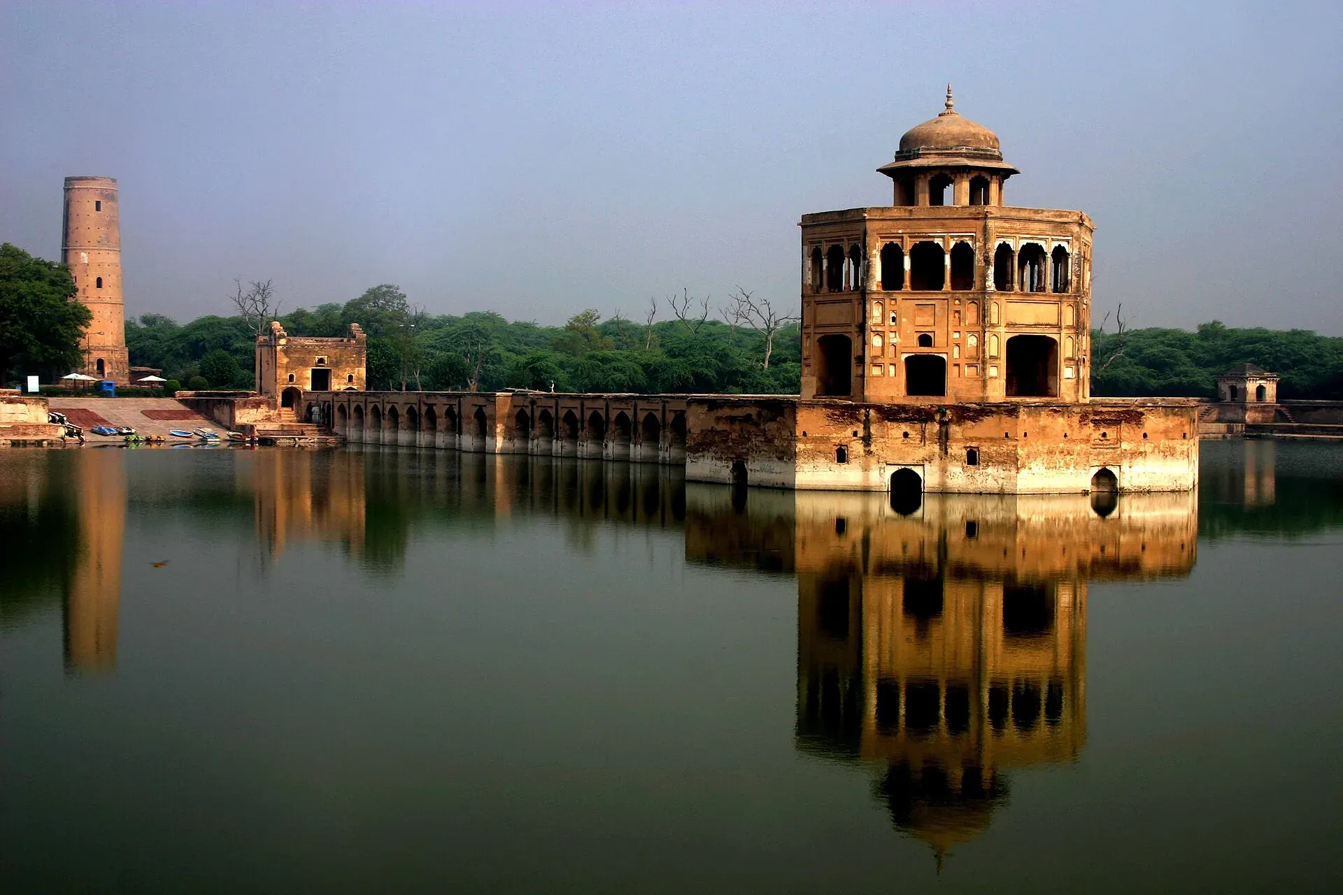
- Hiran Minar, Sheikhupura. A Mughal minaret of about 30 m with six tiers and a spiral stair of 108 steps, standing beside a large rectangular tank (about 229 m by 273 m) with a causeway to an octagonal pavilion. Wikipedia dates it to the reign of Jahangir, who is said to have built it in memory of a pet antelope named Mansraj; the pavilion was added under Shah Jahan. It is about 40 km north-west of Lahore, near Sheikhupura Fort.
- Kirana Hills, near Sargodha. A low, dark rocky range about 19 km long, between Chenab Nagar (Rabwah) and Sargodha. The highest peak is given as about 320 m in a 1913 survey. Wikipedia notes that the hills are owned by the Ministry of Defence and used by the Pakistan Air Force, so check locally which parts can be visited.
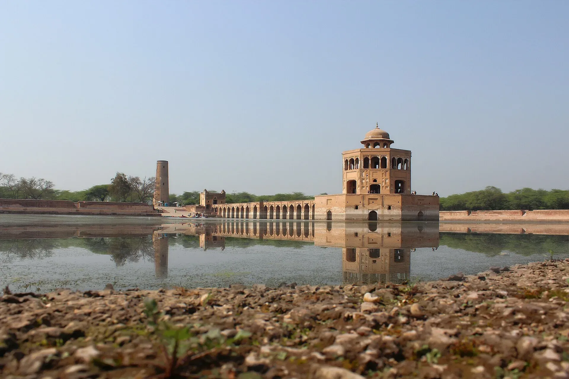
Photo: SohaibTahirST, with thanks · CC BY-SA 3.0 · via Wikimedia Commons · temporary stand-in photo

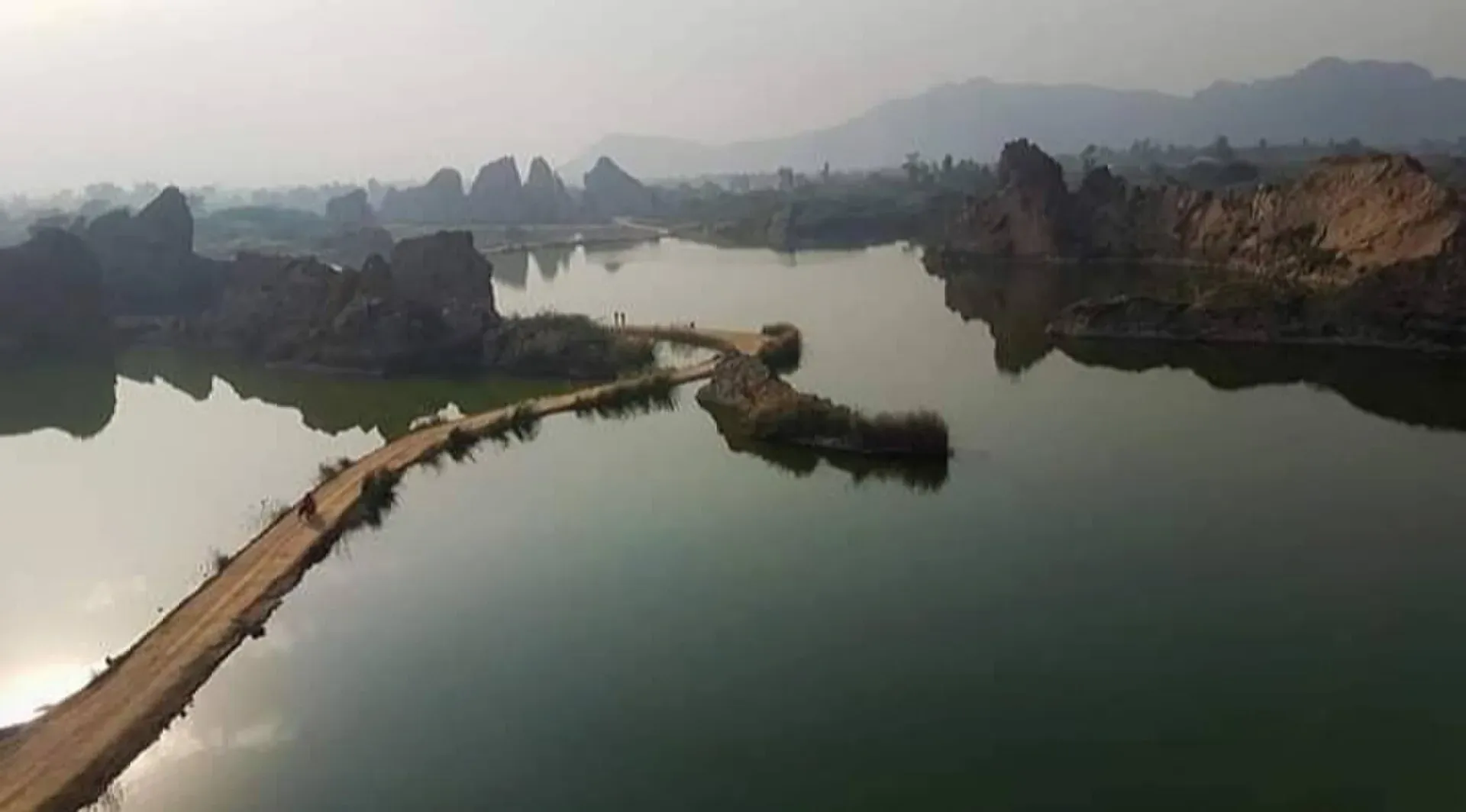
Photo: Innocent Paki, with thanks · CC BY-SA 4.0 · via Wikimedia Commons · temporary stand-in photo

Stops in order
- Lahore (start). Leave early to miss city traffic.
- Sheikhupura, about 41 km by road routing (an OSRM estimate). Fort and Hiran Minar are on the town's edge.
- Pindi Bhattian, about 123 km (OSRM estimate). A tea and fuel stop on the plain.
- Sargodha, the end of the highway, with the Kirana Hills to its east and Company Bagh, a city park.
The whole drive is a half-day run in normal traffic. The plain is flat and farmed, so stops are for the towns rather than scenery.
Hazards and seasons
- Fog: winter fog (December and January) on the Punjab plain is dangerous, and long pile-ups on highways are common in poor visibility.
- Heat and rain: summer heat is severe. Monsoon rain can flood low sections and town centres.
- Traffic: trucks and farm vehicles at all hours.
Fuel and services
Fuel stations, tyre shops and tea stops are frequent along the route. Hotels are found at Lahore, Sheikhupura and Sargodha. ATMs in towns. There is no remote section, so services are not a problem.
Tolls and checkposts
Some NHA roads charge tolls. Whether and where tolls apply on the N-60 is not confirmed, and current rates will be added soon. Checkposts are uncommon but police stops occur.
Safety and travel advice by section
For foreign visitors: the UK FCDO page (updated 27 October 2026, checked 16 November 2026) does not list Lahore, Sheikhupura or Sargodha districts as areas to avoid, and the Punjab entry in the list is Dera Ghazi Khan only, which is far from this road. The same page asks you to stay away from a 5-mile zone along the Indian border; Lahore district contains Wagah, which has been closed. The N-60 itself runs north-west of Lahore, away from that border. Avoid night driving and fog.
Highlights
- Connects Lahore with Sargodha
- Passes Sheikhupura and its fort
- Leads to the Kirana Hills
- Used mainly by freight and local traffic
Stops
- SheikhupuraFort and Hiran Minar nearby
- Pindi BhattianTown on the route
- SargodhaEnd; Kirana Hills nearby
km: distance from the start along the route.
Numbers follow the stops in order. The map shows the 2 stops that have a trek.pk page, not the road itself.
Where to stay, eat and fuel up
Places to stay
- Pearl Continental Hotel, LahoreCall Pearl Continental Hotel, LahoreMap of Pearl Continental Hotel, Lahore in Google Maps
- Avari Hotel LahoreCall Avari Hotel LahoreMap of Avari Hotel Lahore in Google Maps
- The Nishat HotelCall The Nishat HotelMap of The Nishat Hotel in Google Maps
- Faletti's Hotel LahoreCall Faletti's Hotel LahoreMap of Faletti's Hotel Lahore in Google Maps
- Four Points by Sheraton LahoreCall Four Points by Sheraton LahoreMap of Four Points by Sheraton Lahore in Google Maps
- Royal Swiss HotelCall Royal Swiss HotelMap of Royal Swiss Hotel in Google Maps
Places to eat
- Savour Foods ShadmanCall Savour Foods ShadmanMap of Savour Foods Shadman in Google Maps
- Monal LahoreCall Monal LahoreMap of Monal Lahore in Google Maps
- McDonald'sCall McDonald'sMap of McDonald's in Google Maps
- Haveli RestaurantCall Haveli RestaurantMap of Haveli Restaurant in Google Maps
- SECOND SLICE BY FORKS N KNIVESCall SECOND SLICE BY FORKS N KNIVESMap of SECOND SLICE BY FORKS N KNIVES in Google Maps
- Spice BazaarCall Spice BazaarMap of Spice Bazaar in Google Maps
Essential services fuel stations, mechanics, banks, pharmacies and hospitals and clinics
Fuel
- PSO Petrol PumpMap of PSO Petrol Pump in Google Maps
- Total Parco LA TownCall Total Parco LA TownMap of Total Parco LA Town in Google Maps
- PSO-Al-Rafay Filling Station - Petrol Pump Thokar Niaz BaigCall PSO-Al-Rafay Filling Station - Petrol Pump Thokar Niaz BaigMap of PSO-Al-Rafay Filling Station - Petrol Pump Thokar Niaz Baig in Google Maps
- Total - Areeb Areel Filling StationCall Total - Areeb Areel Filling StationMap of Total - Areeb Areel Filling Station in Google Maps
- PSO Fuel StationCall PSO Fuel StationMap of PSO Fuel Station in Google Maps
- Total Petrol StationCall Total Petrol StationMap of Total Petrol Station in Google Maps
Mechanics and tyre shops
- Changan City SalesCall Changan City SalesMap of Changan City Sales in Google Maps
- Toyota Airport MotorsCall Toyota Airport MotorsMap of Toyota Airport Motors in Google Maps
- Honda GatewayCall Honda GatewayMap of Honda Gateway in Google Maps
- Saif Traders - Best Tyre Shop in LahoreCall Saif Traders - Best Tyre Shop in LahoreMap of Saif Traders - Best Tyre Shop in Lahore in Google Maps
- Mini MotorsCall Mini MotorsMap of Mini Motors in Google Maps
- Shaharyar Traders | House Of Tyres, Wheels, Alloy Rims, Car Accessories & Car Modification ServicesCall Shaharyar Traders | House Of Tyres, Wheels, Alloy Rims, Car Accessories & Car Modification ServicesMap of Shaharyar Traders | House Of Tyres, Wheels, Alloy Rims, Car Accessories & Car Modification Services in Google Maps
Banks and money exchange
- Link International Exchange Co (Pvt) Ltd Main Branch.Call Link International Exchange Co (Pvt) Ltd Main Branch.Map of Link International Exchange Co (Pvt) Ltd Main Branch. in Google Maps
Pharmacies
- Raja Market Garden Town LahoreCall Raja Market Garden Town LahoreMap of Raja Market Garden Town Lahore in Google Maps
- Rainbow Cash & Carry - EME LahoreCall Rainbow Cash & Carry - EME LahoreMap of Rainbow Cash & Carry - EME Lahore in Google Maps
- Rainbow Cash & Carry - Valencia Town LahoreCall Rainbow Cash & Carry - Valencia Town LahoreMap of Rainbow Cash & Carry - Valencia Town Lahore in Google Maps
- Rainbow Cash & Carry - Model Town LahoreCall Rainbow Cash & Carry - Model Town LahoreMap of Rainbow Cash & Carry - Model Town Lahore in Google Maps
- Shah Fareed Super StoreCall Shah Fareed Super StoreMap of Shah Fareed Super Store in Google Maps
- Hamza Mart & PharmacyCall Hamza Mart & PharmacyMap of Hamza Mart & Pharmacy in Google Maps
Hospitals and clinics
- Holistic CareCall Holistic CareMap of Holistic Care in Google Maps
- Lahore Care HospitalCall Lahore Care HospitalMap of Lahore Care Hospital in Google Maps
- Evercare HospitalCall Evercare HospitalMap of Evercare Hospital in Google Maps
- Prof. Dr. Suhail Sarwar (Suhail's Oculab)Call Prof. Dr. Suhail Sarwar (Suhail's Oculab)Map of Prof. Dr. Suhail Sarwar (Suhail's Oculab) in Google Maps
- MSK HospitalCall MSK HospitalMap of MSK Hospital in Google Maps
- Jinnah Hospital LahoreCall Jinnah Hospital LahoreMap of Jinnah Hospital Lahore in Google Maps
Listings come from Google Maps data and are unverified: phone numbers, opening months and prices may have changed. Report a problem · Own one of these? Claim it
More safety notes
- Whole road: not on the UK FCDO's lists (checked 16 November 2026).
- Winter: fog is the main danger; avoid night driving.
- Monsoon: local flooding can block low roads.
Tips
- Avoid fog months at night.
- Use the M-2 if you want a faster road to Sargodha.
- Fill up in town; the stretch is short.
- Ask locally about road works before you go.
Sources and last checked
Last checked Confidence low7 sources5 still to check
- Last checked
- Method
- Desk research from published sources
- Confidence
- low
- Checked by
- trek.pk research team
Researched from published sources; not yet checked on the ground by our team. Spot something out of date? Report a mistake.
Sources
- National highways of Pakistan · Wikipedia · checked
- N-60 National Highway · Wikipedia · checked
- Sargodha (route description) · Wikipedia · checked
- Pakistan travel advice: warnings and insurance (updated 27 October 2026) · UK Foreign, Commonwealth & Development Office · checked
- OSRM routing (road distances measured from the start of each highway) · OpenStreetMap / Project OSRM · checked
- Hiran Minar · Wikipedia · checked
- Kirana Hills · Wikipedia · checked
Still to be checked on the ground (5)
- Exact alignment and intermediate towns
- Current surface and any roadworks
- Whether any toll plaza applies
- Length: official 185 km vs measured 211 km
- Whether the Kirana Hills have any public access points today
Nearby and related

Lahore
Punjab's capital and Pakistan's cultural city: Mughal forts, mosques and gardens, a lively Walled City, and some of the best food in the country.

Sheikhupura
District capital 42 km from Lahore, founded by the Mughal emperor Jahangir in 1607. Home to Hiran Minar, a tower and tank built for his pet deer.

Sargodha
A planned canal-colony city in central Punjab, famous for kinnow oranges, with the dark Kirana Hills nearby and easy road links to Lahore, Faisalabad and Islamabad.

Faisalabad
Pakistan's textile capital: a planned colonial city built around a clock tower with eight bazaars, plus gardens, a wildlife park, and the old wood-carving town of Chiniot nearby.