

What the highways are
Pakistan's national highways are run by the National Highway Authority (NHA). They are the long, mostly two-lane roads that join the motorways to the mountains and the coast. Most travel to the north, to Balochistan and to the Makran coast goes along one of them. Motorways (the M-roads) are faster and have their own rules, so they are covered on a separate page. Highways are slower, busier and far more varied.
The main highways at a glance
| Highway | Route | Approx. length | What it is for |
|---|---|---|---|
| N-5 | Karachi to Torkham (Grand Trunk Road) | 1,819 km | The old north-south spine through Lahore, Rawalpindi and Peshawar to the Afghan border |
| N-35 | Hasan Abdal to Khunjerab Pass (Karakoram Highway, KKH) | about 1,300 km including the Chinese section | Hazara, Kohistan, Gilgit, Hunza, and the China border |
| N-15 | Mansehra to Chilas (Kaghan and Babusar) | 240 km | Naran, Kaghan Valley, Babusar Pass and a summer link to the KKH |
| N-45 | Nowshera to Chitral | 309 km | Malakand, Dir, Lowari Tunnel and Chitral |
| N-25 | Karachi to Chaman | 813 km | Quetta and the road to the Afghan border |
| N-10 | Karachi to Gwadar (Makran Coastal Highway) | 653 km | Hingol, Kund Malir and Gwadar |
| N-55 | Kotri to Peshawar (Indus Highway) | 1,264 km | Sindh and southern Punjab to Khyber Pakhtunkhwa along the Indus |
Lengths come from the NHA list as summarised on Wikipedia; they differ a little between sources, so treat them as approximate.
Roads visitors use most
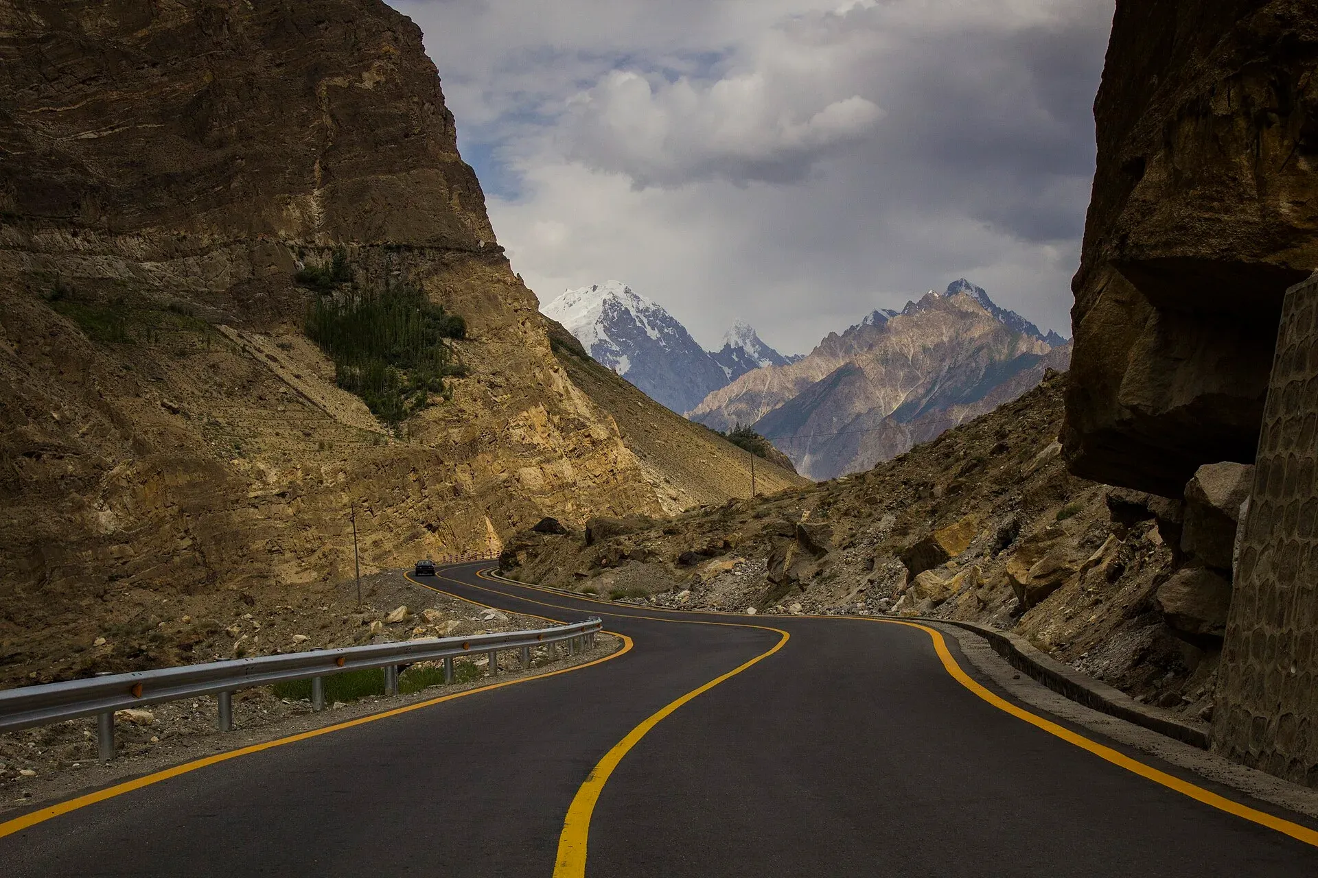
N-35, the Karakoram Highway. This is the famous one. It was built by Pakistan and China, completed in 1979 and opened to the public in 1986. From the Hazara plains it climbs along the Indus through Besham, Dasu and Chilas, then follows the Gilgit and Hunza rivers to Karimabad and Sost. The highest point is near Khunjerab Pass at about 4,714 m. Landslides in the monsoon (July and August) can close sections for hours or days, and heavy winter snow can close the upper end. The 2010 landslide that formed Attabad Lake drowned part of the road; since September 2015 a realignment of five tunnels and several bridges, about 24 km in all, carries traffic around it. The UK government currently advises against all travel on the KKH between Mansehra and Chilas (updated 27 October 2026, checked 17 November 2026), so read the safety section below and check current conditions before you plan.
N-15, Kaghan and Babusar. The road to Naran is open for much of the year, but Babusar Pass (4,173 m) is only open from about April or later to September, and the part north of Naran is usually reliable only from mid-July to the end of September. This road has a poor accident record, mostly from brake failure on steep descents. Go with an experienced driver and use low gears.
N-45, Chitral. Chitral used to be cut off in winter when Lowari Pass closed. The Lowari Tunnel, opened in 2017, is about 10 km long including its two sections and provides all-weather access, bypassing the pass that closes in winter. Snow and avalanche risk on the approaches can still cause delays, and opening hours can change.
N-10, Makran Coastal Highway. A quiet two-lane road along the Arabian Sea. It has long empty stretches, few services and security checkposts. Fill your tank at every chance and travel in daylight.
N-5, the GT Road. Heavy trucks, rickshaws, tractors and buses share it. It is useful for reaching towns between Lahore, Rawalpindi and Peshawar, but where a motorway is parallel, use the motorway.
Road conditions and driving times
Speed averages are low. Plan roughly 40 to 50 km/h on mountain sections. Islamabad to Gilgit by road is a long day or two short days; the NHA and traveller reports often differ on exact times, so build in slack. Roads are mostly paved on these routes but have potholes, rockfall and washouts, especially after rain.
Tunnels and checkposts
Main tunnels on tourist routes are the Lowari Tunnel (N-45) and the KKH realignment tunnels near Attabad. Expect police and Levies checkposts at district borders and on the KKH. You may be asked to register passport details, show your visa or NOC, and sometimes take an escort in sensitive districts. Be polite, carry photocopies, and keep your original passport accessible.
Fuel gaps
Fuel stations are frequent on the N-5 and near Hazara, but become sparse north of Gilgit and in Balochistan. Fill up in towns such as Besham, Chilas, Gilgit, Aliabad or Karimabad in Hunza, and before leaving Quetta or Karachi on the long Makran sections. Carry a spare can if you drive yourself.
Seasonal closures
| Road | Typical risk |
|---|---|
| KKH (Kohistan to Gilgit) | Landslides in July and August; snow at Khunjerab in winter |
| Khunjerab border | Border crossing normally shuts for the winter; dates change each year |
| Babusar Pass (N-15) | Closed by snow in winter; opening dates vary |
| Lowari approaches (N-45) | Avalanche risk in winter |
Safety
Do not drive mountain highways at night. The Karakoram Highway is narrow with steep drops. Landslide areas change by the hour in the rain. Check the road status board on trek.pk, NHA and local police before you set out, and ask your hotel.

