

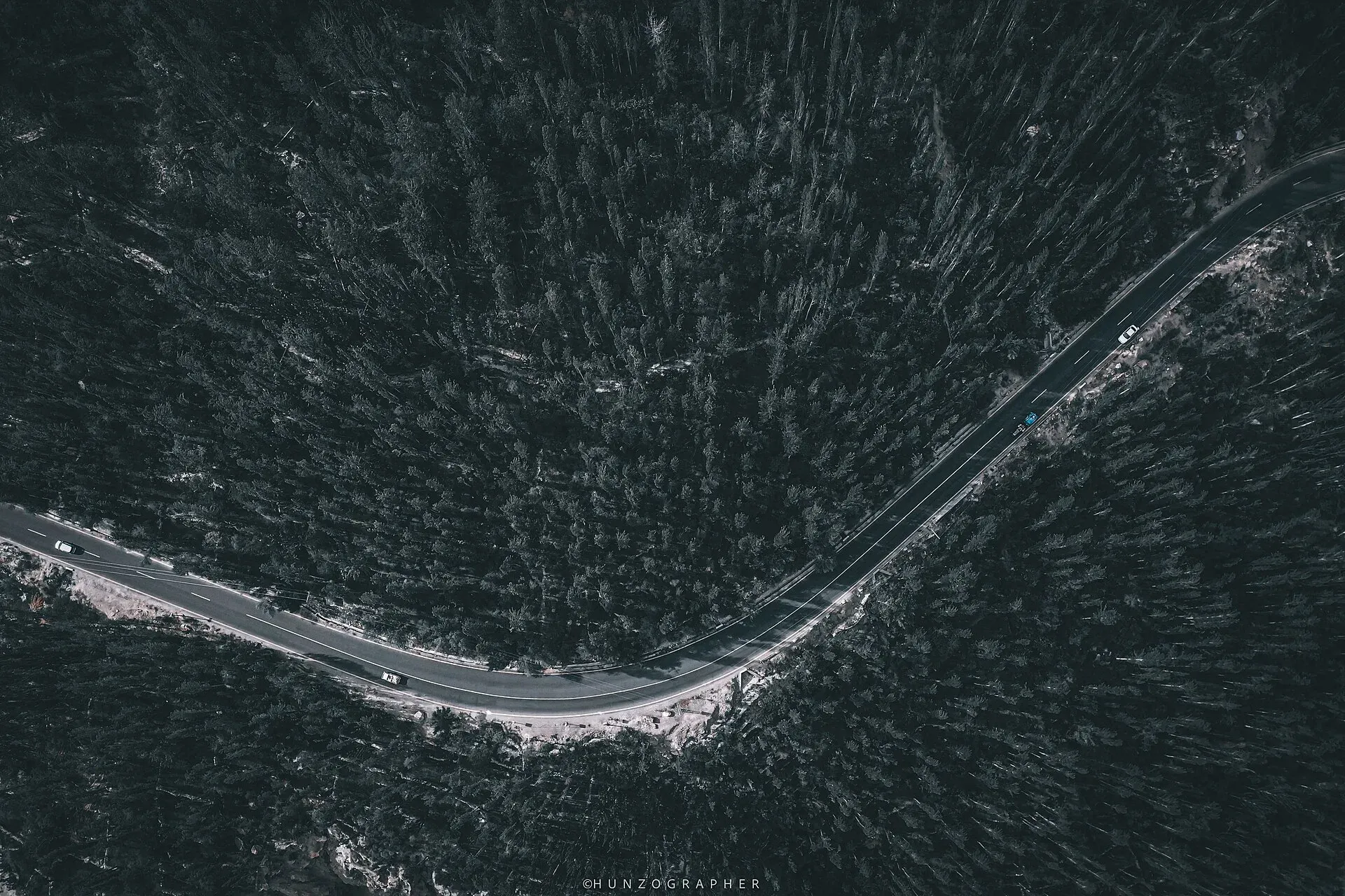
Photo: Hunzagrapher, with thanks · CC BY-SA 4.0 · via Wikimedia Commons · temporary stand-in photo

N-35 Karakoram Highway: Hasan Abdal-Khunjerab
The Karakoram Highway runs from Hasan Abdal through Hazara, Kohistan, Gilgit and Hunza to Khunjerab Pass (4,714 m) and China. Landslides are frequent and the UK advises against travel between Mansehra and Chilas.
Overview
The N-35 is the Karakoram Highway (KKH), the paved road that links the plains at Hasan Abdal with the Chinese border at Khunjerab Pass. The NHA list gives about 1,300 km for the whole route; Wikipedia says the figure includes the Chinese side (its lead gives 887 km for the N-35, the Pakistani portion; its headline figure and segment list give 806 km from the border to Hasan Abdal, and it does not explain the gap). Measured by road routing from Hasan Abdal, Sost on the Pakistani side is about 768 km away.
Pakistan and China built it. Work began in 1962 and it was completed in 1979; it opened to the public in 1986 (Wikipedia). The highest point is near Khunjerab Pass at about 4,714 m.
Route and stops
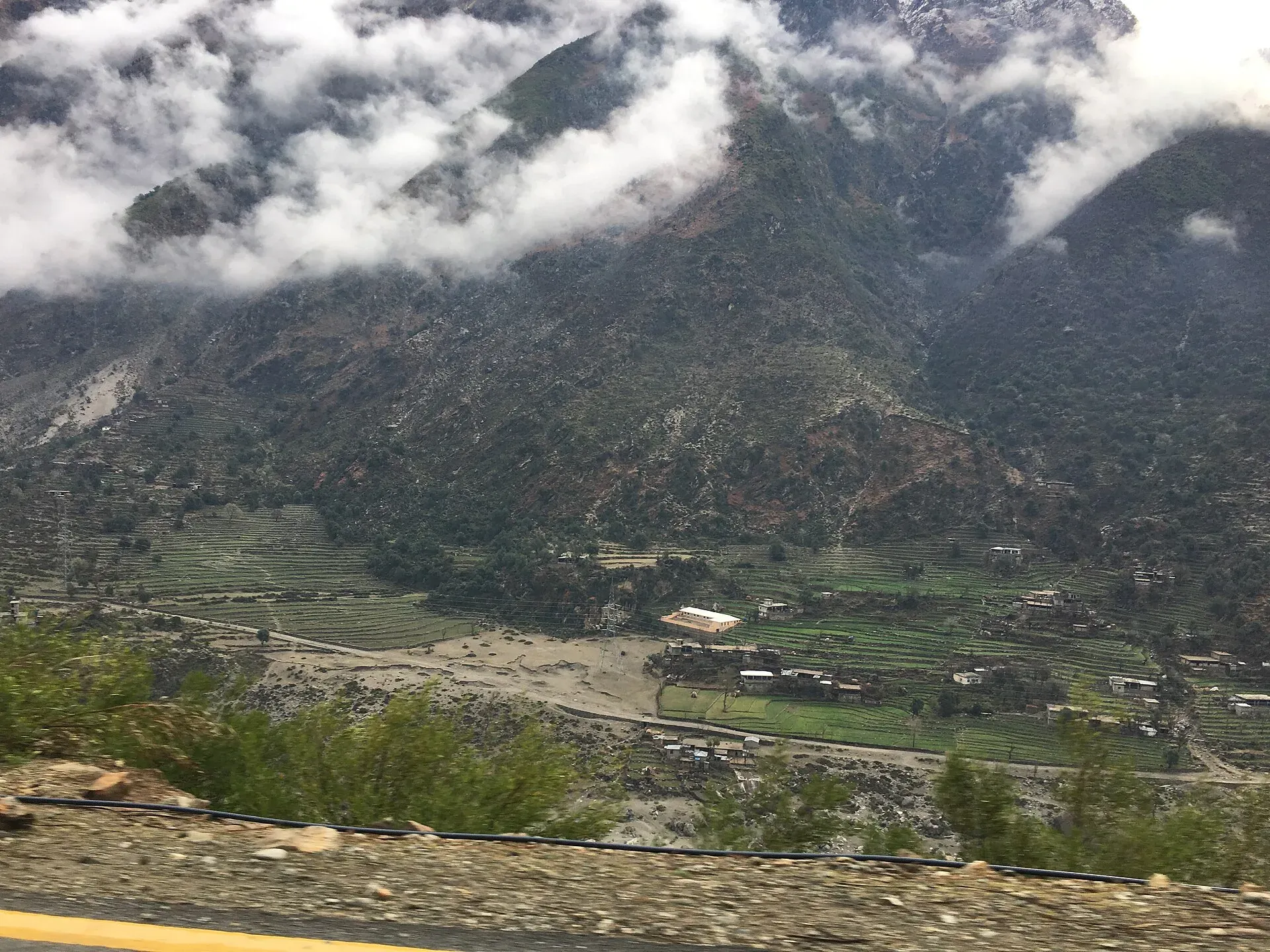
Photo: Bilal Munir, with thanks · CC BY-SA 4.0 · via Wikimedia Commons · temporary stand-in photo

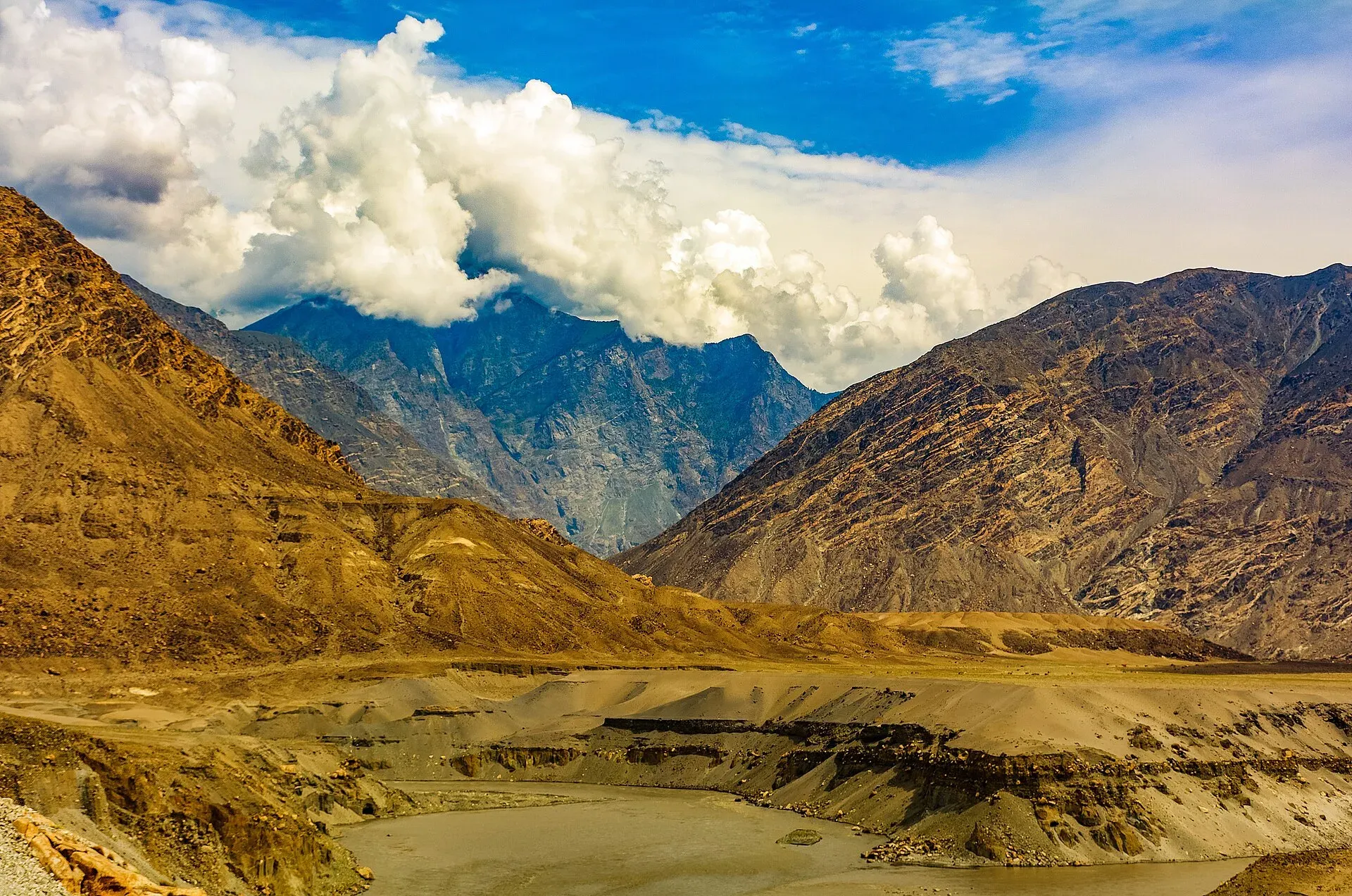
Photo: Ansab Mahmood, with thanks · CC BY-SA 4.0 · via Wikimedia Commons · temporary stand-in photo

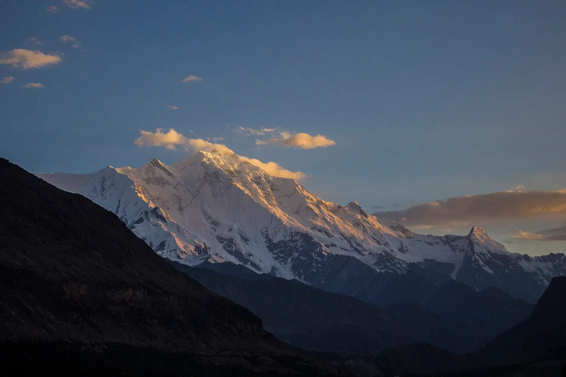
Photo: Saadzafar91, with thanks · CC BY-SA 3.0 · via Wikimedia Commons · temporary stand-in photo

From Hasan Abdal the road goes through Haripur and Abbottabad to Mansehra, then climbs along the Indus through Battagram, Besham, Dasu and Chilas. Beyond Chilas it follows the Indus to Raikot Bridge, where the Fairy Meadows track starts, then reaches Gilgit. From there it follows the Hunza River past Karimabad, Gulmit and Passu to Sost, the last town before the border. Distances below are from Hasan Abdal (OSRM estimates).
- Hasan Abdal and Haripur (km 0 to 35): the plains section, where the N-35 leaves the Grand Trunk Road. Wikivoyage describes the road as in good condition here. Taxila is about 20 km east of Hasan Abdal.
- Abbottabad and Mansehra (km 74 to 99): large Hazara towns with fuel, hotels and food. Mansehra is the junction for the N-15 to Naran and the Kaghan Valley.
- Thakot and Besham (to km 221): Wikipedia says the highway reaches the Indus at Thakot and follows it from there. Besham is the usual first overnight stop.
- Besham to Chilas (km 221 to 445): the road hugs the Indus with steep drops, narrow sections and fast traffic (Wikivoyage). It is being upgraded under CPEC, and summer temperatures can reach 45 degrees Celsius. Dasu, headquarters of Upper Kohistan, is the main halt. At Shatial, beside the road, more than 1,000 inscriptions were left by Sogdian merchants of the 3rd to 7th centuries.
- Chilas (km 445): crossroads with the Babusar Pass road. Wikipedia counts more than 50,000 petroglyphs at ten major sites between Hunza and Shatial, and the Chilas carvings are among them. They run from prehistoric hunting scenes to Buddhist stupas.
- Jaglot and Gilgit (km 536 to 581): at Jaglot the Gilgit River joins the Indus, and the Baltistan Highway to Skardu meets the KKH. Three great ranges (Hindu Kush, Himalaya and Karakoram) are said to meet nearby. Gilgit is the capital of Gilgit-Baltistan, with an airport and supplies. A Chinese cemetery lies at Danyor.
- Nagar and Karimabad (to km 680): from Ghulmet in Nagar there is a close view of Rakaposhi (7,788 m). Minapin is the access point for a same-day hike to Rakaposhi Base Camp (Wikivoyage). Aliabad is the bus and minivan interchange and the main business hub, and Karimabad has Baltit Fort and Altit Fort.
- Attabad Lake to Passu (km 680 to Sost at 768): the five tunnels bypass the lake. Wikivoyage warns that some tunnels were unlit at the time of writing, so carry a torch on a motorbike or bicycle. Gulmit is the former capital of Upper Hunza. Passu sits below Tupopdan (the Cathedral Ridge, or Passu Cones) and has a suspension bridge and glacier views.
- Sost (km 768): the last Pakistani town. Pakistani customs and immigration are here, and Wikivoyage says to get your exit stamp here if you are crossing into China.
Local food and bazaars on the way
The Hunza section has the best-documented local food. Wikivoyage lists diram fiti (a sweet bread), giyalin (thin pancakes), burus berikutz (cheese bread) and a dried-apricot soup, with sharbat and harisa served at celebrations. The valley is known for apricots, mulberries and grapes. Aliabad is the main shopping stop, with shops along the highway and a bazaar where buses depart.
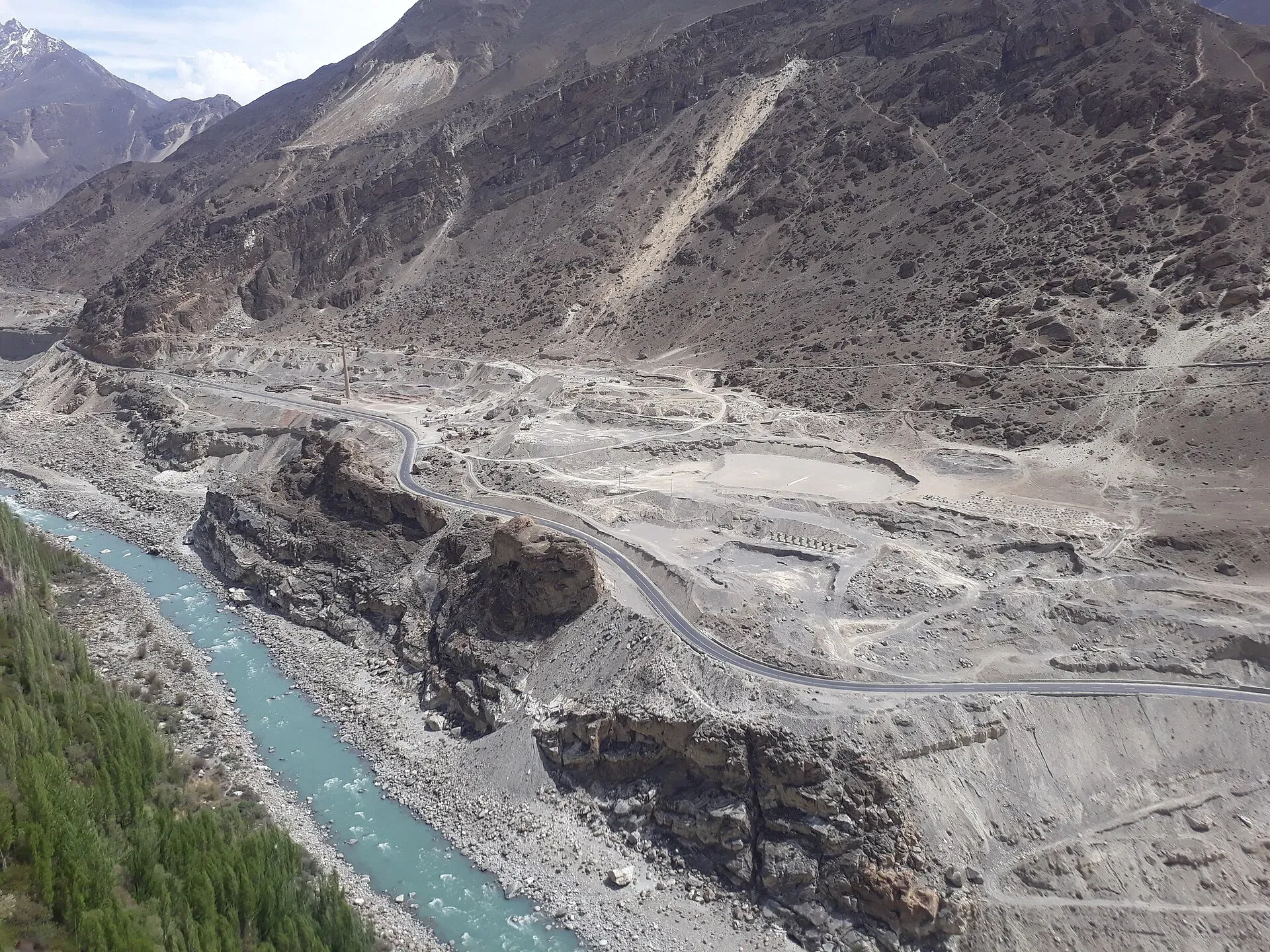
Photo: Shakeelgilgity, with thanks · CC BY-SA 4.0 · via Wikimedia Commons · temporary stand-in photo

History of the road
Pakistan first favoured the Mintaka Pass; in 1966 China recommended Khunjerab, citing protection from air strikes (Wikipedia). The Pakistani side was built by the Frontier Works Organisation and the Pakistan Army Corps of Engineers. Wikipedia says roughly 810 Pakistanis and 200 Chinese workers died, mostly from landslides and falls. Daily Gilgit to Kashgar buses began on 1 June 2006, via Sost and Tashkurgan.
Road condition and notable sections
- Hasan Abdal to Mansehra: paved and fairly busy; parallel to the motorway for part of the way.
- Mansehra to Chilas (Hazara and Kohistan): the most landslide-prone part, narrow and cut into steep slopes.
- Chilas to Gilgit: paved, with long open stretches.
- Gilgit to Sost (Hunza): better surfaced. A series of bridges and five tunnels, opened on 15 September 2015, carries the road above Attabad Lake. The longest tunnel is 3,360 m (Wikipedia).
- Sost to Khunjerab: high, cold and exposed; snow can close it for long periods in winter.
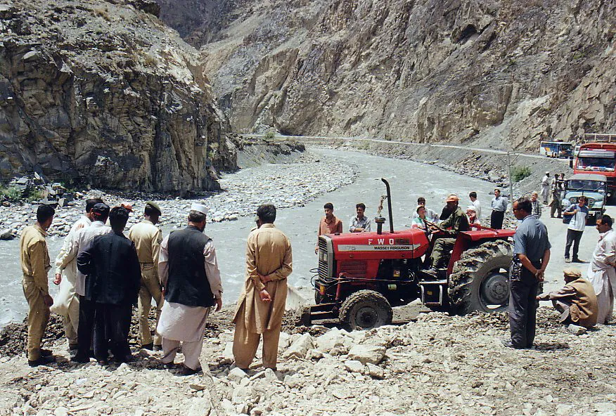
Photo: Wikimedia Commons contributor (no name given on the file page), with thanks · CC BY-SA 3.0 · via Wikimedia Commons · temporary stand-in photo

Dated incidents
- 4 January 2010: the highway closed in Hunza after the Attabad landslide; the lake later drowned over 20 km of the road (Wikipedia).
- 20-21 May 2026: landslides blocked the KKH at Shaheed Mor, Lal Banda and Barseen Uchar in Upper Kohistan; light vehicles were let through first and heavy vehicles later (Dawn, 21 May 2026).
- 17 June 2026: rain-triggered landslides and mudflows closed the KKH to all traffic in Diamer between Gunar Farm and Lal Padi, near Chilas, and stranded travellers (Dawn, 18 June 2026).
Monsoon rain (July and August) is the worst period. Landslides in spring and early summer also occur, as the 2026 reports show.
Passes and seasonal closures
Khunjerab Pass is the high point and the border crossing. Dawn reported on 23 April 2025 that the pass was formally opened for year-round trade and travel, after it had been open only from 1 April to 30 November; year-round operation began in December 2024 under an agreement between the two countries. There is no known dated notice of fixed 2026 opening or closing dates. Heavy snow still closes the road for short periods: avalanches near Khunjerab Top suspended cross-border traffic on 12 March 2026 (Dawn, 13 March 2026). Tourist access to the border post is a separate matter; check with the district administration or NHA before you go.
Fuel and services
Fuel stations and hotels are found in the main towns: Abbottabad, Mansehra, Besham, Chilas, Gilgit, Karimabad, Aliabad and Sost. Gaps between towns are long in Kohistan and between Gilgit and the Hunza villages. Fill up in towns and carry a spare can on long stretches.
What to see along it (summary)
- Chilas rock carvings and the Shatial carvings.
- Raikot Bridge and the road to Fairy Meadows and Nanga Parbat viewpoint.
- Gilgit and the Danyore suspension bridge.
- Rakaposhi viewpoint.
- Karimabad, Baltit and Altit forts.
- Attabad Lake, Gulmit, Passu and the Passu Cones.
- Sost and Khunjerab National Park.
Tolls and checkposts
Tolls apply on some NHA roads; current rates will be added soon. Police and army checkposts are common in Hazara, Kohistan and Diamer. Carry copies of your passport and visa and be patient.
Photo: katorisi, with thanks · CC BY-SA 3.0 · via Wikimedia Commons · temporary stand-in photo

Safety and travel advice by section
Ask the district administration or local police about current conditions before you go. For foreign visitors: the UK FCDO page (updated 27 October 2026, checked 16 November 2026) advises against all travel on the KKH between Mansehra and Chilas, via Battagram, Besham City, Dasu and Sazin, up to the N-15 junction. It does not list Hasan Abdal to Abbottabad, or Gilgit-Baltistan generally, as areas to avoid, but it lists Shangla (all but essential) and Swat and other districts beside the road. Do not drive the KKH after dark. Check the road status with Diamer and Kohistan administrations or the GB Disaster Management Authority, and read the live FCDO text.
Highlights
- Highest point near Khunjerab Pass, about 4,714 m
- Attabad tunnels bypass the 2010 landslide lake
- Gateway to Gilgit, Hunza and Fairy Meadows
- Built by Pakistan and China between 1962 and 1979
Stops
- Hasan AbdalStart; junction with the Grand Trunk Road
- HaripurHazara plains
- AbbottabadLarge Hazara city
- MansehraJunction for the N-15 to Naran
- BattagramHill town
- BeshamOvernight and fuel stop; start of Kohistan
- DasuUpper Kohistan
- ChilasDiamer; rock carvings; N-15 junction
- Raikot BridgeTurn-off for Fairy Meadows
- JaglotGilgit and Indus rivers meet; Skardu road joins (about 45 km before Gilgit)
- GilgitMain city of Gilgit-Baltistan
- KarimabadHunza; forts and views
- GulmitUpper Hunza
- SostLast town; customs and border formalities
- Khunjerab PassHigh point and border; about 83 km beyond Sost (OSRM)
km: distance from the start along the route.
Numbers follow the stops in order. The map shows the 14 stops that have a trek.pk page, not the road itself.
Where to stay, eat and fuel up
Places to stay
- Shangrila Chilas HotelCall Shangrila Chilas HotelMap of Shangrila Chilas Hotel in Google Maps
- Eagle's Nest Hotel HunzaCall Eagle's Nest Hotel HunzaMap of Eagle's Nest Hotel Hunza in Google Maps
- Indus Lodges GilgitCall Indus Lodges GilgitMap of Indus Lodges Gilgit in Google Maps
- Gilgit Serena HotelCall Gilgit Serena HotelMap of Gilgit Serena Hotel in Google Maps
- Park Hotel GilgitCall Park Hotel GilgitMap of Park Hotel Gilgit in Google Maps
- Hotel SarbanCall Hotel SarbanMap of Hotel Sarban in Google Maps
Places to eat
- KFC | AbbottabadCall KFC | AbbottabadMap of KFC | Abbottabad in Google Maps
- Yum Bakery and CafeCall Yum Bakery and CafeMap of Yum Bakery and Cafe in Google Maps
- Food PlanetCall Food PlanetMap of Food Planet in Google Maps
- Flame On Jadoon PlazaCall Flame On Jadoon PlazaMap of Flame On Jadoon Plaza in Google Maps
- BaithakCall BaithakMap of Baithak in Google Maps
- Food HutCall Food HutMap of Food Hut in Google Maps
Essential services fuel stations, ATMs, banks, pharmacies and hospitals and clinics
Fuel
- ShellCall ShellMap of Shell in Google Maps
- Attock Petrol PumpMap of Attock Petrol Pump in Google Maps
- PSO ROYAL STAR FILLING STATIONCall PSO ROYAL STAR FILLING STATIONMap of PSO ROYAL STAR FILLING STATION in Google Maps
- Ibex PSO Petrol StationMap of Ibex PSO Petrol Station in Google Maps
- PSO SostCall PSO SostMap of PSO Sost in Google Maps
- Sakhi Darbar PSO Petrol PumpMap of Sakhi Darbar PSO Petrol Pump in Google Maps
ATMs
- World's Highest ATM NBPMap of World's Highest ATM NBP in Google Maps
- National Bank of Pakistan (NBP) Mirpur/Mandian BranchCall National Bank of Pakistan (NBP) Mirpur/Mandian BranchMap of National Bank of Pakistan (NBP) Mirpur/Mandian Branch in Google Maps
- HBLMap of HBL in Google Maps
- Allied Bank LimitedCall Allied Bank LimitedMap of Allied Bank Limited in Google Maps
- United Bank LimitedMap of United Bank Limited in Google Maps
- The Bank of PunjabCall The Bank of PunjabMap of The Bank of Punjab in Google Maps
Banks and money exchange
- National Bank of Pakistan (NBP)Call National Bank of Pakistan (NBP)Map of National Bank of Pakistan (NBP) in Google Maps
- Telenor Microfinance BankMap of Telenor Microfinance Bank in Google Maps
- Allied Bank LtdCall Allied Bank LtdMap of Allied Bank Ltd in Google Maps
Pharmacies
- Alam Family HospitalCall Alam Family HospitalMap of Alam Family Hospital in Google Maps
- Bilal PlazaCall Bilal PlazaMap of Bilal Plaza in Google Maps
- Qureshi Brothers Chemists and DruggistCall Qureshi Brothers Chemists and DruggistMap of Qureshi Brothers Chemists and Druggist in Google Maps
Hospitals and clinics
- Shamshad Aslam HospitalCall Shamshad Aslam HospitalMap of Shamshad Aslam Hospital in Google Maps
- Fatima HospitalCall Fatima HospitalMap of Fatima Hospital in Google Maps
- Umer Hospital Wah CanttCall Umer Hospital Wah CanttMap of Umer Hospital Wah Cantt in Google Maps
- Aga Khan Hospital, GilgitCall Aga Khan Hospital, GilgitMap of Aga Khan Hospital, Gilgit in Google Maps
- Shifa Physiotherapy ClinicCall Shifa Physiotherapy ClinicMap of Shifa Physiotherapy Clinic in Google Maps
- City HospitalCall City HospitalMap of City Hospital in Google Maps
Listings come from Google Maps data and are unverified: phone numbers, opening months and prices may have changed. Report a problem · Own one of these? Claim it
More safety notes
- Hasan Abdal to Mansehra: not listed by the UK FCDO as an area to avoid (checked 16 November 2026).
- Mansehra to Chilas (including Besham City and Dasu): the FCDO advises against all travel, up to the N-15 junction.
- Chilas to Khunjerab: Gilgit-Baltistan is not generally advised against, but landslides and rockfall are frequent.
- Do not drive at night; check road status each morning.
Tips
- Never drive after dark.
- Check landslide reports daily in July and August.
- Read the live UK FCDO text for the Mansehra to Chilas stretch.
- Fill up in the main towns.
More photos
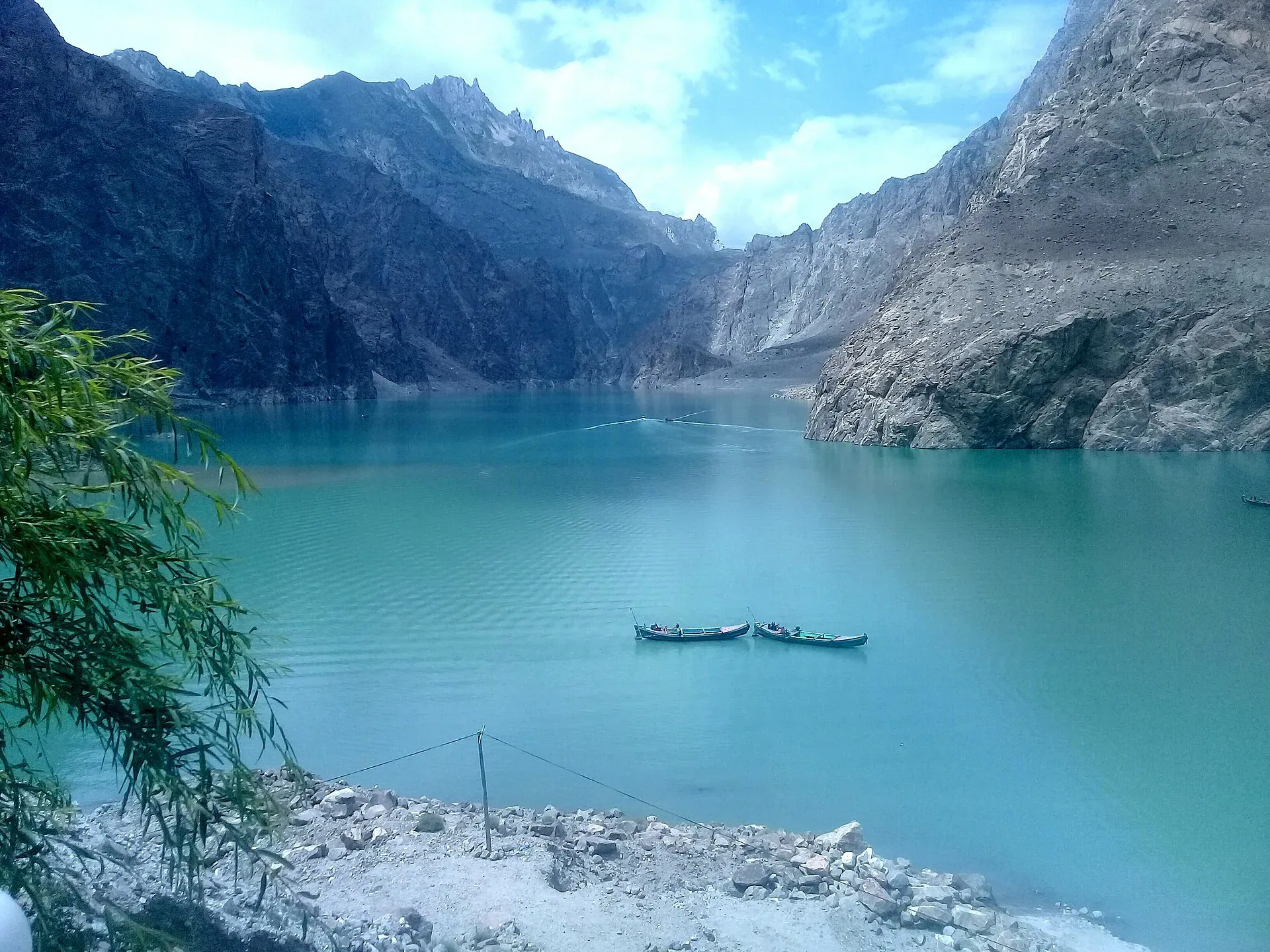
Photo: Peracha1, with thanks · CC BY-SA 4.0 · via Wikimedia Commons · temporary stand-in photo

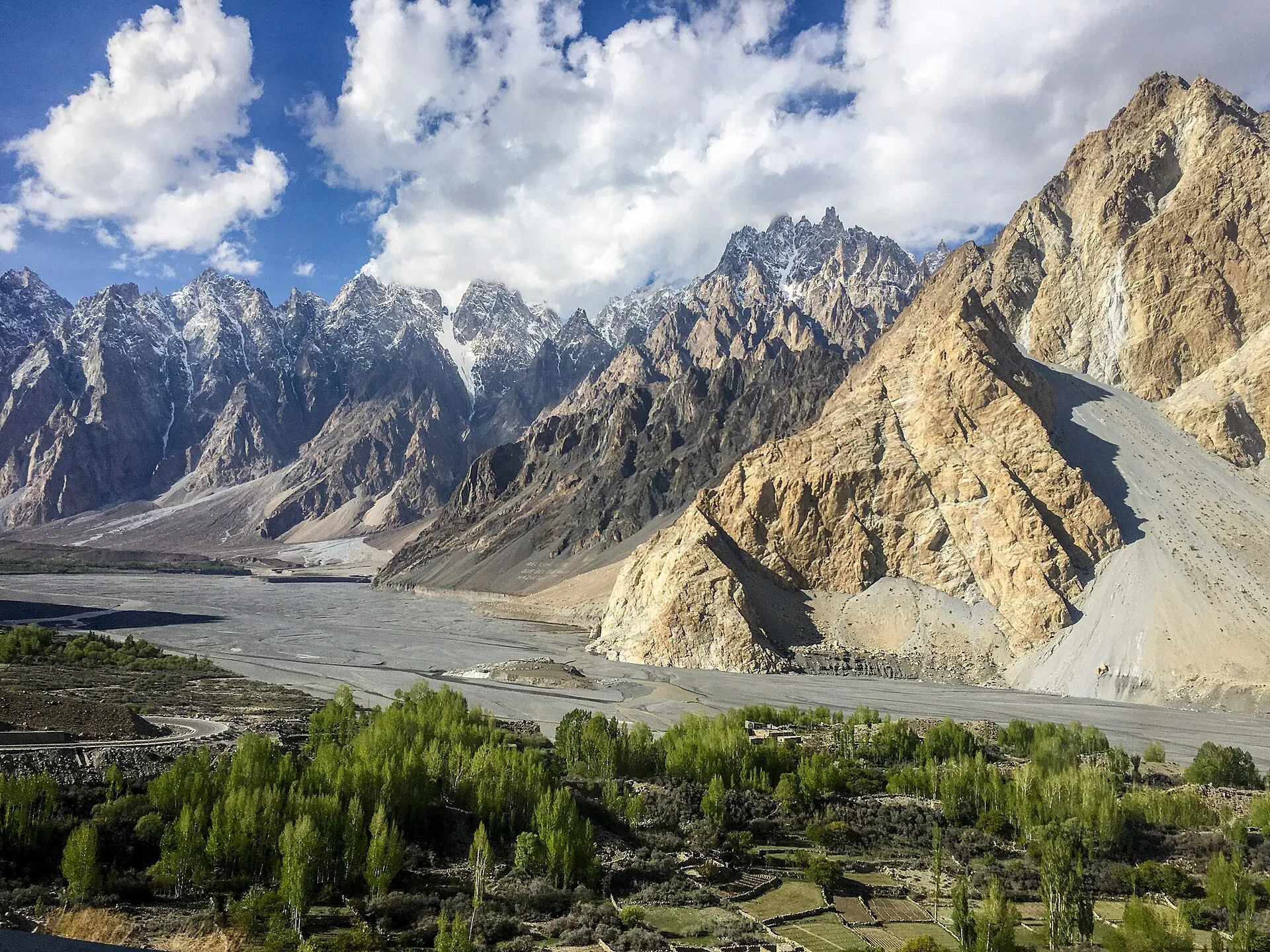
Photo: Mehrunisa Reimoo, with thanks · CC BY-SA 4.0 · via Wikimedia Commons · temporary stand-in photo

Sources and last checked
Last checked Confidence medium11 sources6 still to check
- Last checked
- Method
- Desk research from published sources
- Confidence
- medium
- Checked by
- trek.pk research team
Researched from published sources; not yet checked on the ground by our team. Spot something out of date? Report a mistake.
Sources
- National highways of Pakistan · Wikipedia · checked
- Karakoram Highway · Wikipedia · checked
- Landslide-hit Karakoram Highway reopens to traffic in Upper Kohistan · Dawn · checked
- Travellers stranded as landslides block Karakoram Highway · Dawn · checked
- Pakistan travel advice: warnings and insurance (updated 27 October 2026) · UK Foreign, Commonwealth & Development Office · checked
- OSRM routing (road distances measured from the start of each highway) · OpenStreetMap / Project OSRM · checked
- Khunjerab Pass opens for year-round trade and travel · Dawn, 23 April 2025 · checked
- Rain, snowfall in parts of GB, AJK disrupt life · Dawn, 13 March 2026 · checked
- Reconstruction of the Karakoram Highway · Wikipedia · checked
- Karakoram Highway (route, road character, Hunza food) · Wikivoyage · checked
- Hunza Valley (food, Aliabad, festivals) · Wikivoyage · checked
Still to be checked on the ground (6)
- Khunjerab Pass 2026-27 operating dates and tourist access (year-round operation announced April 2025; no fixed-date notice found; weather closures occur)
- Length of the Pakistani section (806 km vs 887 km in Wikipedia; unexplained, no NHA figure found)
- Current status of all landslide sites (latest dated reports found are May and June 2026)
- Fuel availability in Kohistan (no dated source found)
- Whether the Attabad tunnels are lit now (Wikivoyage reported some unlit)
- Km of Jaglot from Hasan Abdal (taken as Gilgit's km minus about 45 km, the distance on our Jaglot page; not measured)
Nearby and related

Abbottabad
A cool, green cantonment city at about 1,256 m in Hazara, the military academy town and the main gateway to Nathia Gali, Thandiani, Ayubia National Park and the Kaghan Valley.

Mansehra
The headquarters of Mansehra District in Hazara, famous for the Ashoka rock edicts near the city. A big market town and the usual stop before Balakot, Naran and the Karakoram Highway.

Besham
A busy Indus-side town and junction on the Karakoram Highway at about 613 m, long used as the first overnight stop from Islamabad towards Gilgit and Hunza.

Dasu
The headquarters of Upper Kohistan District on the Karakoram Highway, beside the Indus. A rest and checkpoint stop between Besham and Chilas, and the site of a large dam project.

Chilas
Headquarters of Diamer on the Karakoram Highway and the Indus, with thousands of ancient rock carvings, views towards Nanga Parbat, and the road junctions for Fairy Meadows and Babusar Pass.

Gilgit
Gateway to Gilgit-Baltistan on the Karakoram Highway: a busy mountain town with the Kargah Buddha and the base for Hunza, Naltar and Skardu.

Karimabad (Hunza)
The main town of Hunza, set on a terrace below Baltit Fort with Rakaposhi, Ultar and Diran in view. A good base for forts, viewpoints, Attabad Lake and the road to Gojal.

Attabad Lake
A turquoise lake about 21 km long in Gojal, Hunza. It formed when a landslide blocked the Hunza River on 4 January 2010. The Karakoram Highway now passes it through five tunnels.

Gulmit
The administrative centre of Gojal (Upper Hunza), at 2,465 m on the Karakoram Highway. A calm base for Ghulkin, Borith Lake, the museum and fort walks.

Passu
A Wakhi village in Gojal beside the Passu Glacier, below the jagged Passu Cones (Tupopdan, 6,106 m). Known for Hussaini Suspension Bridge, glacier walks and Batura views.

Sost
The last town on the Karakoram Highway before the Chinese border, at about 2,800 m. Sost has Pakistan's immigration and customs offices, a dry port, and is the base for Khunjerab Pass.

Khunjerab Pass
The 4,693 m pass on the Karakoram Highway where Pakistan meets China. It is the road crossing between Sost in Gojal and Tashkurgan in Xinjiang, now agreed to run all year.

Khunjerab National Park
A high-altitude park on the Pakistan-China border, created in 1975 to protect Marco Polo sheep, snow leopard and Himalayan ibex. It surrounds the Khunjerab Pass on the Karakoram Highway.
Chilas Rock Carvings
Thousands of rock carvings along the Indus near Chilas, from prehistoric hunting scenes to Buddhist stupas and inscriptions left by Silk Road travellers.

Shatial Rock Carvings
A site beside the Indus on the Karakoram Highway with more than 1,000 inscriptions, many by Sogdian merchants of the 3rd to 7th centuries, plus Buddhist carvings.

Rakaposhi View Point
A roadside stop on the Karakoram Highway at Ghulmet in Nagar, about 60 km from Gilgit, with a close view of Rakaposhi (7,788 m) rising above the Hunza River.

Hunza Valley
A long Karakoram valley on the Karakoram Highway, with Karimabad, Baltit and Altit forts, Ganish village and Attabad Lake, below Rakaposhi and Ultar Sar. About 100 km from Gilgit.

Islamabad to Khunjerab and the China Border
An overland guide from Islamabad to Khunjerab Pass (4,693 m) on the KKH, with the border rules to check: who can visit the top, who can cross to China, and the seasons.

Hunza and Khunjerab (KKH)
A 7-8 day road trip from Islamabad up the Karakoram Highway to Hunza and on to Khunjerab Pass (4,693 m), with overnight stops at Besham, Chilas and Gilgit.

Naran, Kaghan and Babusar
A 4-day summer road trip from Islamabad up the Kaghan valley to Naran, Saiful Muluk and Lulusar Lake, over Babusar Pass (4,173 m) to Chilas on the KKH.

Grand Northern Loop
A 12-14 day circuit of the north from Islamabad: Naran and Babusar, Hunza and Khunjerab, Skardu and Deosai, Gilgit, then Swat or the KKH back. Distances, passes and seasons.