

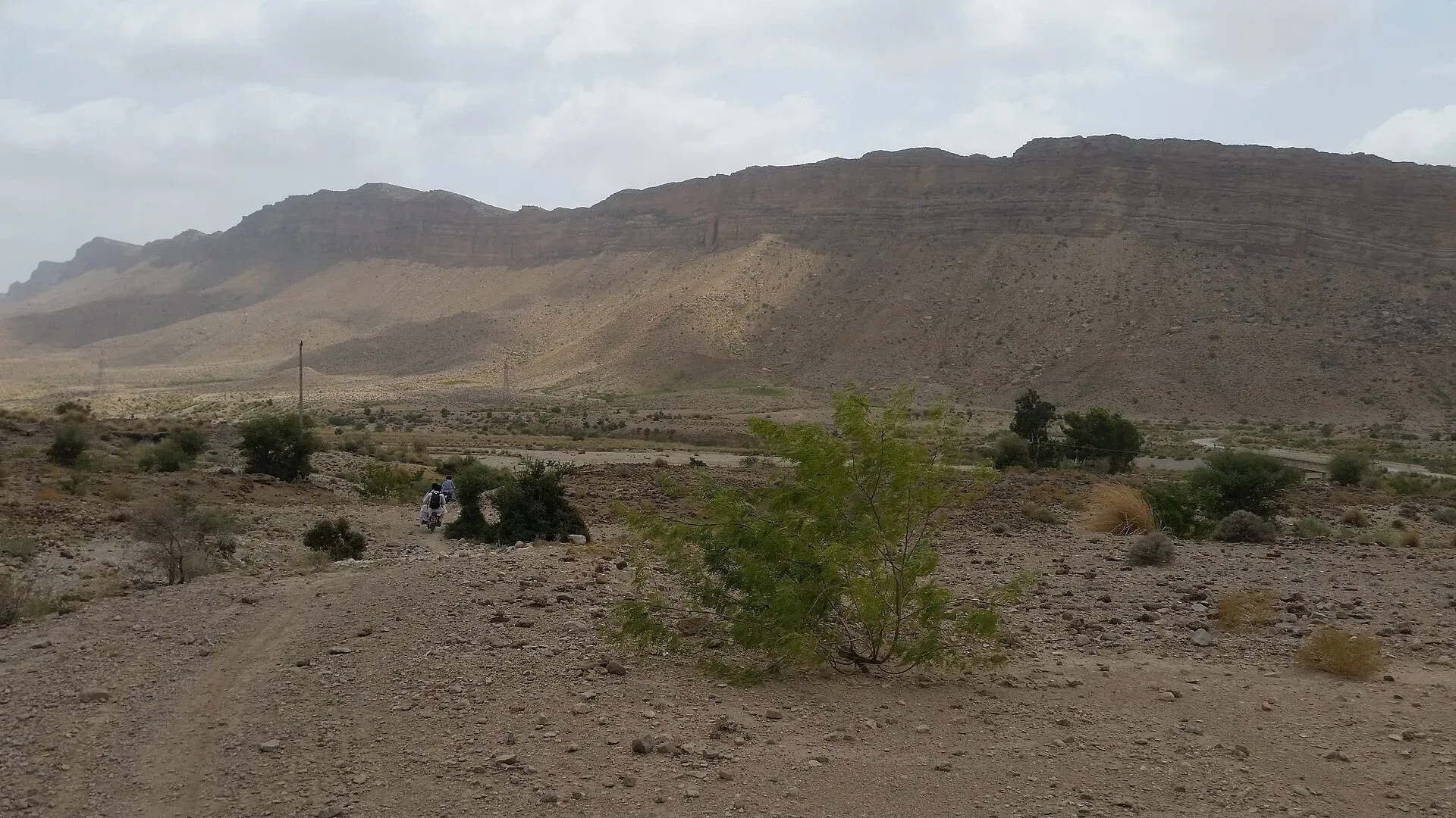
Photo: Asad.buzdar, with thanks · CC BY-SA 4.0 · via Wikimedia Commons · temporary stand-in photo

Barkhan
Small hill-country district headquarters in north-eastern Balochistan, about 1,100 m above sea level, with 14,425 residents in the 2023 census. Not a visitor destination; FCDO advises against all travel to Balochistan.
Overview
Barkhan is the capital of Barkhan District in north-eastern Balochistan, about 245 km east of Quetta by Wikipedia's figure. The town stands at about 1,100 m. The 2023 census counted 14,425 urban residents in the district, which is the town's population (Pakistan Bureau of Statistics figures compiled by CityPopulation.de). The whole district had 210,249 people, almost all of them Balochi speakers, and about 93 per cent live in rural areas.
Plan your visit
- Nearest town
- Loralai
- Getting there
Road: Loralai about 186 km (about 3 hours 20 minutes, optimistic OSRM estimate). No railway or airport. More
Best months
Oct – Mar
History
Barkhan became a district on 31 December 1991, having been a tehsil (sub-district) of Loralai District. The area was long associated with the Khetran Baloch tribe, who were ruled by a line of sardars (chiefs). Disputes with neighbouring Luni and Marri tribes led the Khetrans to petition the British at Dera Ghazi Khan in 1880. A jirga (tribal council) settled the matter in 1883, the area came under Balochistan's administration in 1884, and in 1887 it was placed under direct British administration as work began on the Dera Ghazi Khan to Pishin road. It was finally attached to Loralai in 1903. The Khetran, Marri, Hasni and Buzdar tribes live in the district today.
Land and climate
The district is a main Barkhan valley plus smaller valleys among the ranges of the Suleman hills, including the rocky Jandran range and Kala Pahar. The Han stream, which runs all year near Dhamani, and the Rakhni stream feed the Kah stream, which flows on into Dera Ghazi Khan district. Wikipedia describes a hot semi-arid climate with very hot summers and mild winters, with recorded extremes from 44.2 C down to -10 C. Rain falls lightly from February to April and more heavily in the monsoon months of June to September, about 420 to 430 mm a year in all.
Farming and fossils
Farmers grow wheat, barley and fodder in the cool season, and sorghum, millet, maize, mung and mash beans, onion, potato and cotton in the warm season. Orchard fruit includes apricot, peach, grape, almond, pomegranate, apple and plum. Small coal deposits were abandoned as uneconomic. The district is also where Pakistan's first dinosaur fossils were found; the dinosaur Khetranisaurus is named after the Khetran tribe and the district.
What to see and do
There are no recognised visitor sights in the town. It is a small administrative and market centre for farming and herding villages. This page is for people who live in the area or have essential business, not for sightseeing.
Why you might pass through
Barkhan sits in the broken hill country between Loralai and the Punjab and Sindh borderlands. Most people who come are on district business or are visiting family.
Getting there
OSRM estimates Loralai at about 186 km and 3 hours 20 minutes by road (optimistic estimate, checked 16 November 2026). There is no railway station or airport at Barkhan. Mountain roads can be slow and are affected by weather.
Services
Expect the basic services of a district headquarters: a government district hospital and private clinics, pharmacies, fuel stations on the main roads and a central bazaar. ATMs are most likely in the main bazaar or along the highway. No verified list of individual businesses is available, so confirm what you need in a larger city before you arrive.
Nearby
Loralai is the nearest city with a page on this site. Dera Ghazi Khan, across the provincial boundary in Punjab, is the other major town in the region.
Safety
Ask the district administration or local police about current conditions before you go. For foreign visitors: the UK FCDO advises against all travel to Balochistan (page updated 27 October 2026; checked 16 November 2026). This page therefore does not recommend visiting as a traveller. If you live here or have essential business, follow guidance from the provincial authorities and your embassy, and do not rely on this page for planning. The FCDO also notes a general risk of terrorism across Pakistan.
Highlights
- Headquarters of Barkhan District
- About 1,100 m above sea level
- 14,425 urban residents (2023 census)
- Hill country between Loralai and the Punjab border
Stay, eat and essentials near Barkhan
Within 8 km of Barkhan, nearest first.
Essential services fuel stations
Fuel
- Petrol PumpMap of Petrol Pump in Google Maps
Listings come from Google Maps data and are unverified: phone numbers, opening months and prices may have changed. Report a problem · Own one of these? Claim it
Tips
- Do not plan leisure travel here: the FCDO advises against all travel to Balochistan.
- Carry cash, water and fuel; services are limited.
- Winters are cool; summers are very hot.
- Check road and security conditions locally before any journey.
Photos we still need: orchards or farmland in the Barkhan valley (section: Farming and fossils). Send us yours
Sources and last checked
Last checked Confidence medium5 sources3 still to check
- Last checked
- Method
- Desk research from published sources
- Confidence
- medium
- Checked by
- trek.pk research team
Researched from published sources; not yet checked on the ground by our team. Spot something out of date? Report a mistake.
Sources
- Barkhan · Wikipedia · checked
- Barkhan District: 2023 census · CityPopulation.de · checked
- OSRM public routing demo (driving, optimistic) · Project OSRM · checked
- Pakistan travel advice · UK Foreign, Commonwealth & Development Office (FCDO) · checked
- Barkhan District · Wikipedia · checked
Still to be checked on the ground (3)
- Road conditions on the Barkhan-Loralai road (OSRM gives 186.7 km, 3 h 20 min as an optimistic estimate; no source on the real state of the road)
- Which facilities exist in town (the page lists typical district-headquarters services; no source names any hospital, hotel or ATM)
- District area: Wikipedia gives 3,514 and 3,410 sq km
Nearby and related

Loralai
A Pashtun hill town at about 1,400 m in north-eastern Balochistan, headquarters of Loralai District and Division, with a 16th-century Mughal fort.

Dera Ghazi Khan
Divisional city on the west bank of the Indus in south-west Punjab, in Saraiki and Baloch country, and the gateway to the cool hills of Fort Munro and the shrine town of Sakhi Sarwar.

Balochistan
Pakistan's largest and least populated province: Quetta's high valleys, Ziarat's juniper forest, the Makran coast, Hingol and Gwadar. Security and permission rules need checking first.