

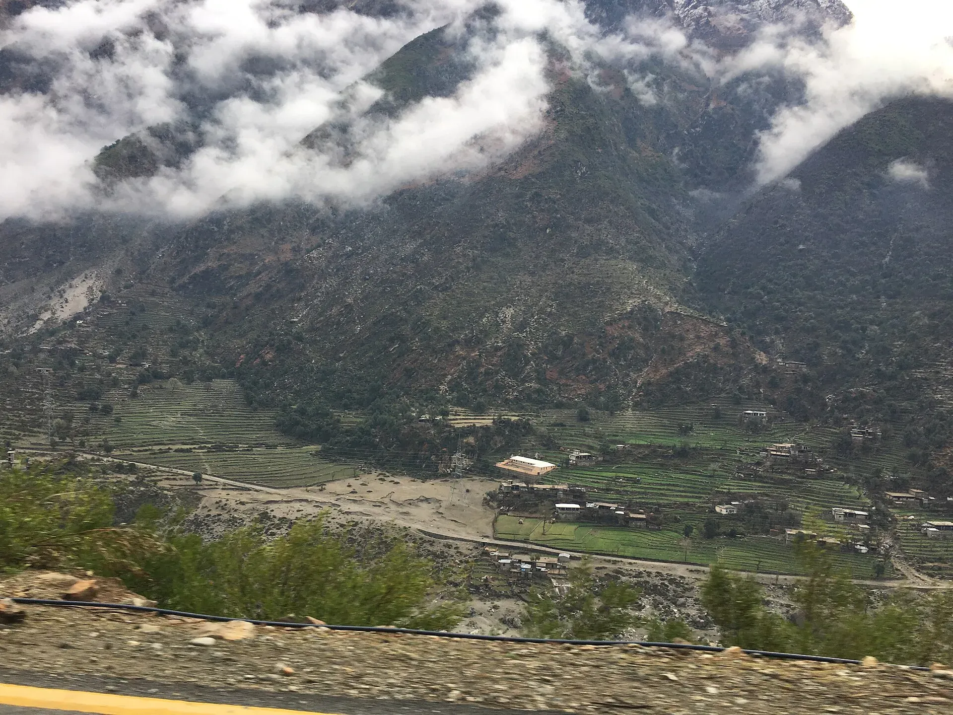
Photo: Bilal Munir, with thanks · CC BY-SA 4.0 · via Wikimedia Commons · temporary stand-in photo

Besham
A busy Indus-side town and junction on the Karakoram Highway at about 613 m, long used as the first overnight stop from Islamabad towards Gilgit and Hunza.
Overview
Besham is a town in Shangla District, Khyber Pakhtunkhwa, on the right (west) bank of the Indus, which is locally called the Abasin, at about 613 m (Wikipedia). It is a major junction on the Karakoram Highway: the KKH continues north through Kohistan to Chilas, and a road leads west to Swat, about 60 km away by Wikipedia's figure. The eastern end of the E90 expressway, which is under construction to Khwazakhela in Swat, will start here. The town used to belong to Swat District until Shangla was created on 10 July 1995.
There is no known 2023 census figure for Besham.
Plan your visit
- Getting there
Road: On the KKH about 240 km from Islamabad (OSRM, optimistic 3 h); Chilas about 207 km north; Mingora about 82 km west. Long-distance buses to Gilgit stop here. More
Best months
Mar – May, Oct – Nov
- Besham
- Related places nearby: Allai Valley, Thakot
What to see and do
Besham is a stop, not a destination. It has a bazaar, restaurants and workshops for the highway traffic, and a PTDC rest house on the Indus bank (Wikipedia). Many travellers use it to rest on the way north, or to wait for road news when the Kaghan route is blocked.
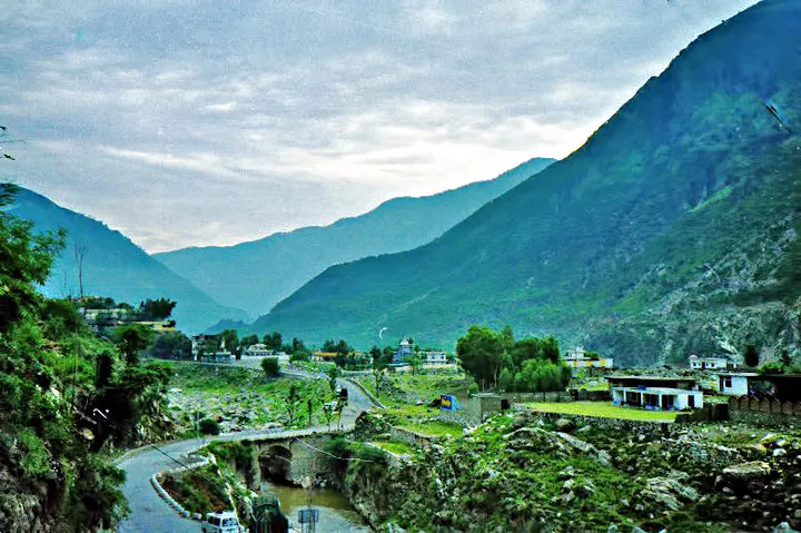
Photo: Nmansoor, with thanks · CC BY-SA 3.0 · via Wikimedia Commons · temporary stand-in photo

Travellers use it as the route to Hunza and Gilgit when the Kaghan valley road is blocked by heavy snow, according to Wikipedia. The Indus is wide and fast here, and the hills on both banks are steep and green in spring. The town is crowded with trucks and buses, so noise and dust are part of a stop. Most travellers stay only one night.
Getting there
- Road: Besham is about 240 km from Islamabad (OSRM about 3 hours, optimistic) and about 270 km from Peshawar (Wikipedia). Chilas is about 207 km north (OSRM 2 hours 30 minutes, optimistic, but real times are much longer through Kohistan). Mingora is about 82 km away.
- Public transport: long-distance buses from Rawalpindi and Islamabad to Gilgit stop here.
When to visit
Besham is warm to hot: the average is about 20.7 C, June is hottest (mean daily maximum 38.4 C) and August is wettest with 138 mm and November is driest with 18 mm, for about 842 mm a year (Wikipedia). January is the coldest month, with a mean of 8.9 C. Spring and autumn are the pleasant seasons. The monsoon brings landslides on the KKH.
Where to stay and eat
Hotels and guesthouses are along the KKH and the Indus bank, simple and mostly for one night. Restaurants serve karahi, tikka, daal and tea. Book ahead only in the busy summer weeks.
Treks and day trips
There are no established tourist walks here. The usual next stops are Dasu, Chilas and the Fairy Meadows turn-off, or Swat to the west. See the highway pages.
Safety and good to know
Ask the district administration or local police about current conditions before you go. For foreign visitors: the UK FCDO (updated 27 October 2026) advises against all travel on the KKH between Mansehra and Chilas via Battagram, Besham City, Dasu and Sazin, and advises against all but essential travel to Shangla. This is a government travel advisory, not a closure. Read it and check with local police and your hotel before you travel. Drive in daylight only. Landslides and queues at Dasu are common.
Highlights
- Junction on the Karakoram Highway
- Indus-side rest stop
- Road west to Swat
Stay, eat and essentials near Besham
Within 8 km of Besham, nearest first.
Places to eat
- Night Day Hotel and RestaurantCall Night Day Hotel and RestaurantMap of Night Day Hotel and Restaurant in Google Maps
Essential services pharmacies and hospitals and clinics
Pharmacies
- New Kohistan Medical StoreCall New Kohistan Medical StoreMap of New Kohistan Medical Store in Google Maps
- Medical storeCall Medical storeMap of Medical store in Google Maps
Hospitals and clinics
- Haad Noor Surgical HospitalCall Haad Noor Surgical HospitalMap of Haad Noor Surgical Hospital in Google Maps
- BeshamCall BeshamMap of Besham in Google Maps
- Civil Besham HospitalMap of Civil Besham Hospital in Google Maps
- Akhun khail House BeshamCall Akhun khail House BeshamMap of Akhun khail House Besham in Google Maps
Listings come from Google Maps data and are unverified: phone numbers, opening months and prices may have changed. Report a problem · Own one of these? Claim it
Tips
- Read the FCDO advice for the KKH before you go.
- Drive in daylight only.
- Fill the tank and eat before the Kohistan section.
- Check road news at Besham before heading north.
Photos we still need: PTDC rest house or the Indus bank at Besham. Send us yours
Sources and last checked
Last checked Confidence medium4 sources4 still to check
- Last checked
- Method
- Desk research from published sources
- Confidence
- medium
- Checked by
- trek.pk research team
Researched from published sources; not yet checked on the ground by our team. Spot something out of date? Report a mistake.
Sources
- Besham · Wikipedia · checked
- Pakistan travel advice (updated 27 October 2026) · UK Foreign, Commonwealth & Development Office · checked
- OSRM driving route service: distances and times measured 16 November 2026 (times are optimistic, without stops) · OSRM / OpenStreetMap · checked
- Pakistan Tourism Guide 2021 · TDAP Pakistan · checked
Still to be checked on the ground (4)
- Current hotels and road status
- Whether the PTDC rest house is open (Wikipedia says only that PTDC provides one on the Indus bank)
- Realistic drive time to Chilas (OSRM gives 2 h 30 min, optimistic; no timetable found)
- Which bank of the Indus Besham stands on: our earlier text said left; Wikipedia says right
Nearby and related

Khyber Pakhtunkhwa
Mountains, Buddhist ruins and old bazaars in north-west Pakistan: Swat, Kaghan, Chitral, the Kalash valleys, the Khyber Pass and Peshawar.

Chilas
Headquarters of Diamer on the Karakoram Highway and the Indus, with thousands of ancient rock carvings, views towards Nanga Parbat, and the road junctions for Fairy Meadows and Babusar Pass.
Allai Valley
A rural valley in the Pakhli region of Khyber Pakhtunkhwa between the Indus and the Kaghan side ranges, in the Allai tehsil formerly part of Battagram. Not set up for tourism.
Thakot
A small Indus-side town in Battagram District, Khyber Pakhtunkhwa, at about 536 m. UK advice is against all travel on the Karakoram Highway between Mansehra and Chilas.

Hunza and Khunjerab (KKH)
A 7-8 day road trip from Islamabad up the Karakoram Highway to Hunza and on to Khunjerab Pass (4,693 m), with overnight stops at Besham, Chilas and Gilgit.