

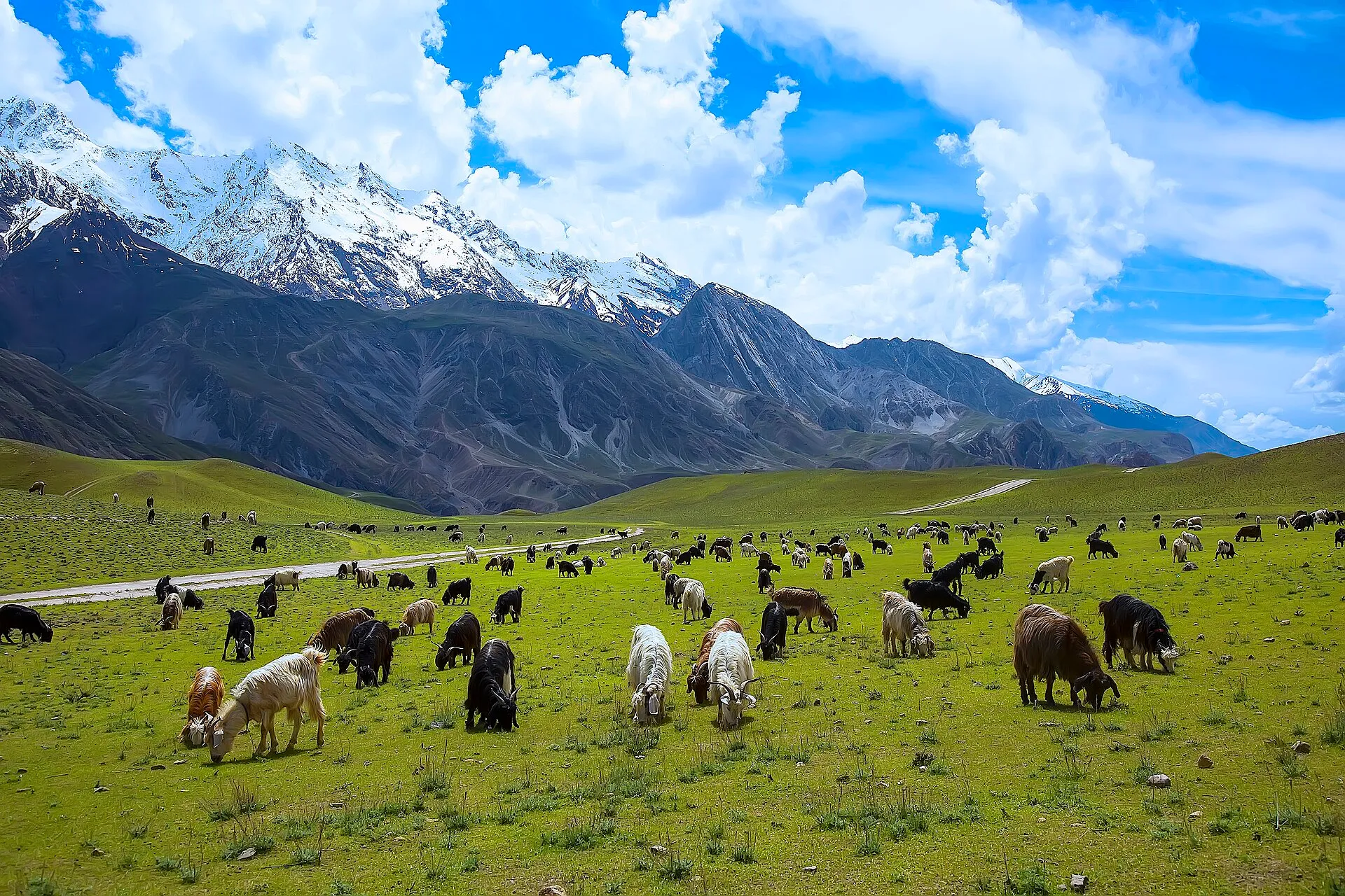
Photo: Tahsin A Shah, with thanks · CC BY-SA 4.0 · via Wikimedia Commons · temporary stand-in photo

Birmoghlasht Summer Fort
A ruined summer fort of the Mehtar of Chitral, built about 1910 on a hilltop at around 9,000 feet. It lies in a core area of Chitral Gol National Park.
Overview
Birmoghlasht Summer Fort stands on a hilltop in Lower Chitral district, at about 9,000 feet (about 2,700 m). It lies close to core areas of Chitral Gol National Park, a protected area for wildlife that includes snow leopard, markhor, ibex and black bear.
Plan your visit
- Nearest town
- Chitral
- Getting there
The fort is in Lower Chitral district, in the hills above Chitral town within Chitral Gol National Park. The route and walking time were not confirmed; ask at Chitral or the park office. More
- Birmoghlasht Summer Fort
- Related places nearby: Chitral, Chitral Gol National Park
History
The fort was built around 1910 on the initiative of Shuja ul-Mulk, ruler of Chitral State. The Mehtar (ruler) and his family moved here in summer for cooler air, and he held court here. It is reported to have drawn many foreign ambassadors when Chitral was a princely state.
The fort is now a dilapidated ruin. A 2019 news report said Chitral's forts were falling into ruin. Hundreds of tourists are reported to visit each year.
What to see and do
- The ruined fort. The walls stand on the hilltop above the valley.
- The park. The fort is inside Chitral Gol National Park, so it can be combined with a visit to the park.
Chitral Gol National Park
Chitral Gol (also called Chitral National Park) was established in 1984 and covers 7,750 hectares beside the Chitral River. It rises from about 1,450 m to roughly 5,000 m and holds three valleys, several glaciers and springs that feed an 18 km stream running east into the river. Cedar is the best-known tree. The park is described as holding the world's largest population of Kashmir markhor, a wild goat, estimated at 2,278 in 2021. Siberian ibex, Ladakh urial, Himalayan black bear, Himalayan wolf and red fox also live here, and snow leopards have been seen more often because prey is plentiful.
The climate is cold and dry, with about 462 mm of rain a year, and winter snow. Snow-covered peaks stay visible until June. The road to the park is narrow and dangerous, and riskier on rainy days. A wildlife hut stands near the fort.
When to visit
Summer is when the Mehtar came for the cool air. Snow can block the hills in winter.
Where to stay and eat
Stay in Chitral town. There are no known facilities at the fort.
Good to know
- Chitral Gol is a protected area. Follow the park rules and check access with the park staff.
- The UK FCDO advises against all travel on the N45 highway to the edge of Chitral City, including the Kalash valleys. This affects the usual road route to Chitral, so read the current advice before you travel.
- Opening hours, fees and the route to the fort were not confirmed.
Highlights
- Built around 1910 for Shuja ul-Mulk, Mehtar of Chitral
- Hilltop site at about 9,000 feet
- In a core area of Chitral Gol National Park
Getting there
The fort is in Lower Chitral district, in the hills above Chitral town within Chitral Gol National Park. The route and walking time were not confirmed; ask at Chitral or the park office.
Tips
- Ask park staff about access and permits.
- Go in summer or early autumn; the hills are cold and snowy in winter.
Photos we still need: Birmoghlasht fort ruins (the only photo is of the park). Send us yours
Sources and last checked
Last checked Confidence low3 sources5 still to check
- Last checked
- Method
- Desk research from published sources
- Confidence
- low
- Checked by
- trek.pk research team
Researched from published sources; not yet checked on the ground by our team. Spot something out of date? Report a mistake.
Sources
- Birmoghlasht Summer Fort · Wikipedia · checked
- Pakistan travel advice: warnings and insurance · UK Foreign, Commonwealth & Development Office · checked
- Chitral Gol National Park · Wikipedia · checked
Still to be checked on the ground (5)
- Opening hours, entry fee and whether the site is open to the public
- Route, walking time and any park permit needed
- Whether foreigners may visit the core zone
- Best months and snow conditions
- Drive time from Chitral to the park (sources differ: about two hours, or a few kilometres)
Nearby and related

Chitral
The main town of Lower Chitral District, at about 1,500 m on the Chitral River, with a historic fort, a royal mosque and views of Tirich Mir. The base for the Kalash valleys.

Chitral Gol National Park
A mountain park beside Chitral town, set up in 1984 to protect the markhor. About 78 square kilometres rising from 1,450 m to 5,000 m, with snow leopard and ibex.

Khyber Pakhtunkhwa
Mountains, Buddhist ruins and old bazaars in north-west Pakistan: Swat, Kaghan, Chitral, the Kalash valleys, the Khyber Pass and Peshawar.