

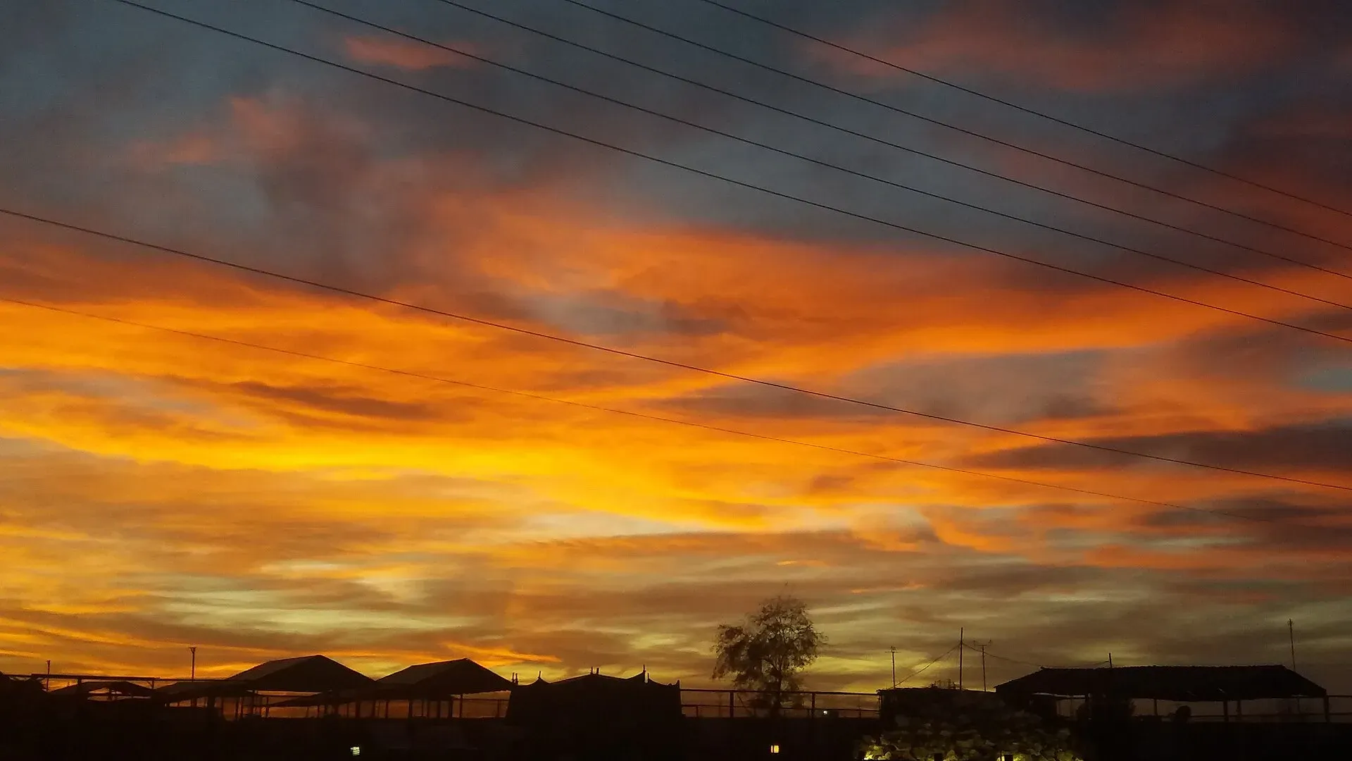
Photo: laibaimran003, with thanks · CC BY-SA 4.0 · via Wikimedia Commons · temporary stand-in photo

Dalbandin
Desert headquarters of Chagai District in western Balochistan, known for fruit orchards, at about 843 m above sea level. For foreign visitors: the UK FCDO advises against all travel to Balochistan.
Overview
Dalbandin is the headquarters of Chagai District in western Balochistan, a remote area near the borders of Iran and Afghanistan. Wikipedia puts its elevation at about 843 m and describes a town surrounded by desert and mountains and known for its fruit orchards. The 2023 census counted 20,054 urban residents in Chagai District, which is the figure Wikipedia quotes for Dalbandin. Earlier Wikipedia figures show the town growing from 1,724 people in 1961 to 11,948 in 1998 and 16,265 in 2017.
Plan your visit
- Getting there
Road: Quetta about 341 km (about 4 hours 10 minutes, optimistic OSRM estimate). Airport and railway station reported; verify current services. More
Best months
Nov – Mar
- Dalbandin
- Related place nearby: Ras Koh Wildlife Sanctuary
The district around it
Chagai is the largest district in Pakistan by area, about 19,338 sq km, with 269,192 people in 2023 and only about 7 per cent of them living in towns. In the 2023 census, 73.8 per cent gave Balochi as their first language, 16.8 per cent Brahui and 8.9 per cent Pashto (Wikipedia). The district has five tehsils: Dalbandin, Chagai, Amuri, Chilgazi and Dak.
North of the town, along the Afghan border, stand the Chagai Hills, a granite range about 130 km long and 95 km wide. The highest peak, Malik Naru (2,412 m), is a volcanic site linked with Koh-i-Sultan, "Mountain of the King". Pakistan and the United States have run a joint volcanology programme on the range since 1997 (Wikipedia). The Chagai Hills are reached on the N-40 through Dalbandin. The Ras Koh range, where Pakistan's 1998 tests took place, is a separate range on the border of Chagai and Kharan districts.
Climate
Wikipedia describes a hot desert climate with extremely hot summers, cool winters and occasional sandstorms. Annual rain is about 84.5 mm, falling mostly in winter, and the town gets about 3,486 hours of sunshine a year. The record high is 51.6 C and the record low is minus 12.2 C. Nights can be cold in winter, so pack for both extremes. A magnitude 7.2 earthquake shook the region on 19 January 2011, causing moderate damage and killing three people; the town was not heavily damaged.
What to see and do
There are no recognised visitor sights. This is a government and market town. Wikipedia lists a football stadium in the town centre (football is popular locally), a government boys' degree college and a girls' degree college, and an Afghan refugee camp, Girdi Jungle, on the Dalbandin to Chagai road. The surrounding desert and mountain country is remote. Mobile data is reported to be very poor.
Name
Wikipedia says the name comes from Naalbandin, a word for the region's skilled farriers (horseshoe makers), which the British altered to Dalbandin. The article gives no source for this.
Why you might pass through
Dalbandin lies on the N-40 and the railway line through Chagai towards Nokkundi and Taftan on the Iranian border. Most people here are on official or mining-related business.
Getting there
OSRM estimates Quetta at about 341 km and 4 hours 10 minutes by road (optimistic estimate, checked 16 November 2026); real journeys take longer. Wikipedia lists a small domestic airport (Dalbandin Airport, code DBA, run by the Pakistan Airports Authority, 12 aircraft movements in 2024-25) and a railway station in the town centre, but there is no known source for scheduled flights or trains. Wikipedia says residents mostly travel by bus to Quetta and Karachi. Check the airline and Pakistan Railways.
Nearby
Quetta is the nearest city with a page on this site, a very long way off. Treat any journey here as a serious expedition with planning, supplies and local support. Taftan, on the Iranian border, lies further along the same road.
Safety
For foreign visitors: the UK FCDO advises against all travel to Balochistan (page updated 27 October 2026; checked 16 November 2026). This page therefore does not recommend visiting as a traveller. If you live here or have essential business, follow guidance from the provincial authorities and your embassy, and do not rely on this page for planning. The FCDO also notes a general risk of terrorism across Pakistan.
Highlights
- Headquarters of Chagai District
- About 843 m above sea level
- Fruit orchards in a desert setting
- Small domestic airport and railway station (not verified)
Stay, eat and essentials in Dalbandin
Places to eat
Essential services fuel stations and hospitals and clinics
Fuel
- نعمت اینڈ سدیس پٹرولیم سروس Basit ZaibCall نعمت اینڈ سدیس پٹرولیم سروس Basit ZaibMap of نعمت اینڈ سدیس پٹرولیم سروس Basit Zaib in Google Maps
- J S Filling stationCall J S Filling stationMap of J S Filling station in Google Maps
- فضل پٹرولیم دالبندین داؤد آبادCall فضل پٹرولیم دالبندین داؤد آبادMap of فضل پٹرولیم دالبندین داؤد آباد in Google Maps
- AL UMAIR PETROL STATIONCall AL UMAIR PETROL STATIONMap of AL UMAIR PETROL STATION in Google Maps
Hospitals and clinics
- Dhq HospitalMap of Dhq Hospital in Google Maps
Listings come from Google Maps data and are unverified: phone numbers, opening months and prices may have changed. Report a problem · Own one of these? Claim it
Tips
- Do not plan leisure travel here: the FCDO advises against all travel to Balochistan.
- Carry water, fuel and cash; distances are huge.
- Expect extreme summer heat and sandstorms.
- Mobile coverage and data can be poor.
Photos we still need: Dalbandin bazaar or orchards; Chagai desert landscape near Dalbandin. Send us yours
Sources and last checked
Last checked Confidence medium7 sources3 still to check
- Last checked
- Method
- Desk research from published sources
- Confidence
- medium
- Checked by
- trek.pk research team
Researched from published sources; not yet checked on the ground by our team. Spot something out of date? Report a mistake.
Sources
- Dalbandin · Wikipedia · checked
- Chagai District: 2023 census · CityPopulation.de · checked
- OSRM public routing demo (driving, optimistic) · Project OSRM · checked
- Pakistan travel advice · UK Foreign, Commonwealth & Development Office (FCDO) · checked
- Dalbandin Airport · Wikipedia · checked
- Chagai District · Wikipedia · checked
- Chagai Hills · Wikipedia · checked
Still to be checked on the ground (3)
- Whether the airport and railway station have scheduled service (airport had only 12 aircraft movements in 2024-25; no timetable found)
- Town population attribution (CityPopulation.de shows 20,054 only as the Chagai district urban total; it has no Dalbandin line)
- Origin of the name (Wikipedia, no reference given)
Nearby and related

Quetta
Balochistan's high-valley capital, the Fruit Garden of Pakistan: bazaars, sajji, orchard valleys and the base for Hanna Lake and Ziarat.

Balochistan
Pakistan's largest and least populated province: Quetta's high valleys, Ziarat's juniper forest, the Makran coast, Hingol and Gwadar. Security and permission rules need checking first.
Ras Koh Wildlife Sanctuary
A remote, arid granite range of about 995 sq km in Chagai and Kharan districts, Balochistan, designated a wildlife sanctuary in 1962. No visitor facilities, and the UK FCDO advises against all travel to Balochistan.
Taftan
A border town in western Chagai District, Balochistan, at Pakistan's crossing with Iran. FCDO advises against all travel to Balochistan. Information only.