

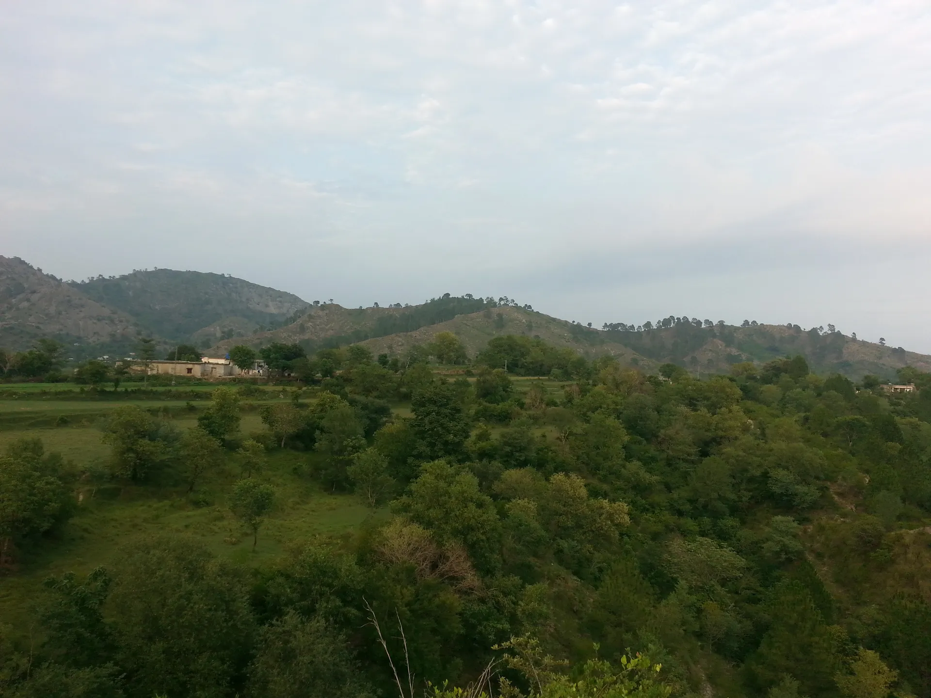
Photo: Waqas Aziz, with thanks · CC BY-SA 4.0 · via Wikimedia Commons · temporary stand-in photo

Kahuta
A hill town in Rawalpindi District, Punjab, about 30 km from Islamabad, best known for the Kahuta Research Laboratories. Little set up for visitors.
Overview
Kahuta is a town and tehsil in Rawalpindi District, Punjab, in the Himalayan foothills about 30 km south-east of Islamabad. It is one of five tehsils of the district. The highest ground in the area reaches about 1,800 m. The name is said to come from a tree, locally called koh, that grows widely in the area. The town sits on the road towards Azad Kashmir.
Its population has grown quickly: 19,207 in 1998, 60,610 in 2017 and 75,349 at the 2023 census. Punjabi is spoken by about 79 per cent of people, followed by Urdu, Pashto and Kashmiri.
Plan your visit
- Getting there
Kahuta is about 46 km from Islamabad by road (OSRM about 40 minutes; checked 17 November 2026), and about 30 km south-east of the capital as the crow flies (Wikipedia). More
Best months
Mar – May, Sep – Nov
- Kahuta
- Related places nearby: Murree-Kotli Sattian-Kahuta National Park, Pharwala Fort, Rawalpindi, Islamabad
Known for
Kahuta was a small incorporated town until the 1970s. In 1976 Prime Minister Zulfikar Ali Bhutto asked the Ministry of Defence to find a remote site for atomic and weapons work, and the Kahuta Research Laboratories were built there by the Pakistan Army Corps of Engineers as part of the nuclear programme. Before the project, retired army officers lived in Kahuta and it had a small public community. After the site was classified, few residents were allowed to stay. The laboratories are a restricted area and are not open to visitors.
What to see and do
Wikipedia names Panjpeer Rocks and the local scenery as the attractions. No details on the rocks are published, so check locally before you go. The hill area to the north-east is covered on the Murree, Kotli Sattian and Kahuta National Park page. Pharwala Fort is in the same district. Kahuta has few visitor facilities.
Getting there
Kahuta is about 46 km from Islamabad by road (OSRM estimate about 40 minutes; checked 17 November 2026). The road climbs through hills, so allow longer in rain or snow. See Islamabad and Rawalpindi.
When to visit
No source gives climate data. Spring and autumn are the more comfortable seasons, and winters can be cold on the higher ground.
Where to stay and eat
No source lists hotels or restaurants. Islamabad and Rawalpindi have far more choice.
Safety and good to know
Do not photograph or approach the laboratory site or other military installations. Kahuta is not named in the UK FCDO list. For foreign visitors: the FCDO (updated 27 October 2026) advises against all but essential travel to Azad Jammu and Kashmir, whose border lies a short way east of Kahuta. Read the live page before you go.
Highlights
- Hill town about 30 km from Islamabad
- Kahuta Research Laboratories (restricted)
- Panjpeer Rocks and local scenery
- Gateway to the road towards Azad Kashmir
Hotels, food, fuel and services in Kahuta
Places to eat
- King bakers and sweet matoor chowk 2nd branch Kalar Chowk kahutaCall King bakers and sweet matoor chowk 2nd branch Kalar Chowk kahutaMap of King bakers and sweet matoor chowk 2nd branch Kalar Chowk kahuta in Google Maps
- Green View RestaurantCall Green View RestaurantMap of Green View Restaurant in Google Maps
- Mexico Pizza KahutaCall Mexico Pizza KahutaMap of Mexico Pizza Kahuta in Google Maps
- Al Noorani Biryani Centre KahutaMap of Al Noorani Biryani Centre Kahuta in Google Maps
- Friends DownTown RestaurentCall Friends DownTown RestaurentMap of Friends DownTown Restaurent in Google Maps
- Pakiza Al Noor RestaurantMap of Pakiza Al Noor Restaurant in Google Maps
Essential services fuel stations, mechanics, ATMs, pharmacies and hospitals and clinics
Fuel
- Hascol petroleumCall Hascol petroleumMap of Hascol petroleum in Google Maps
- PSOMap of PSO in Google Maps
- BAWALI FILLING STATION- Total Petrol StationCall BAWALI FILLING STATION- Total Petrol StationMap of BAWALI FILLING STATION- Total Petrol Station in Google Maps
- CaltexMap of Caltex in Google Maps
Mechanics and tyre shops
ATMs
- BOP Kahuta BranchCall BOP Kahuta BranchMap of BOP Kahuta Branch in Google Maps
Pharmacies
- Sadaqat pharmacyCall Sadaqat pharmacyMap of Sadaqat pharmacy in Google Maps
- Malik Drug StoresCall Malik Drug StoresMap of Malik Drug Stores in Google Maps
- Pak Kashmir Medical StoreMap of Pak Kashmir Medical Store in Google Maps
Hospitals and clinics
- Sadaqat international hospitalCall Sadaqat international hospitalMap of Sadaqat international hospital in Google Maps
- Zulekha Memorial HospitalCall Zulekha Memorial HospitalMap of Zulekha Memorial Hospital in Google Maps
- KRL GEN HOSPITAL SUNBAL-GAH BRANCHMap of KRL GEN HOSPITAL SUNBAL-GAH BRANCH in Google Maps
- Shifa ClinicMap of Shifa Clinic in Google Maps
- Ghulam Rubbani Qureshi welfare trustCall Ghulam Rubbani Qureshi welfare trustMap of Ghulam Rubbani Qureshi welfare trust in Google Maps
- Dr Mashhood HamzaCall Dr Mashhood HamzaMap of Dr Mashhood Hamza in Google Maps
Listings come from Google Maps data and are unverified: phone numbers, opening months and prices may have changed. Report a problem · Own one of these? Claim it
Tips
- Do not photograph military sites.
- Check road news in rain or snow.
- Carry your ID.
- Use Islamabad for hotels.
Photos we still need: Kahuta town and Panjpeer Rocks (the hero shows a nearby village). Send us yours
Sources and last checked
Last checked Confidence low3 sources4 still to check
- Last checked
- Method
- Desk research from published sources
- Confidence
- low
- Checked by
- trek.pk research team
Researched from published sources; not yet checked on the ground by our team. Spot something out of date? Report a mistake.
Sources
- Kahuta · Wikipedia · checked
- Pakistan travel advice (Warnings and insurance) · UK FCDO (GOV.UK) · checked
- OSRM routing (driving distances) · OSRM project · checked
Still to be checked on the ground (4)
- Wikipedia gives two different coordinate pairs; the page uses the header coordinates
- Details of Panjpeer Rocks
- Hotels and restaurants
- Whether any parts of the area need permission to visit
Nearby and related
Murree-Kotli Sattian-Kahuta National Park
A large hill national park in northern Rawalpindi District, Punjab, covering the Murree, Kotli Sattian and Kahuta hills. About 474 square kilometres of pine and oak forest, declared in 2020 and notified again in 2023.

Pharwala Fort
A ruined Gakhar fort above the Soan River, about 35 to 40 km from Rawalpindi. Added to Pakistan's UNESCO tentative list in 2026. Access is rough and the site is still fragile.

Rawalpindi
Islamabad's older twin city: a busy bazaar and cantonment, the north's main rail and bus hub, and an easy base for Taxila and Murree.

Islamabad
Pakistan's green, planned capital at the foot of the Margalla Hills: Faisal Mosque, hillside trails, cafes and the gateway to the north.