

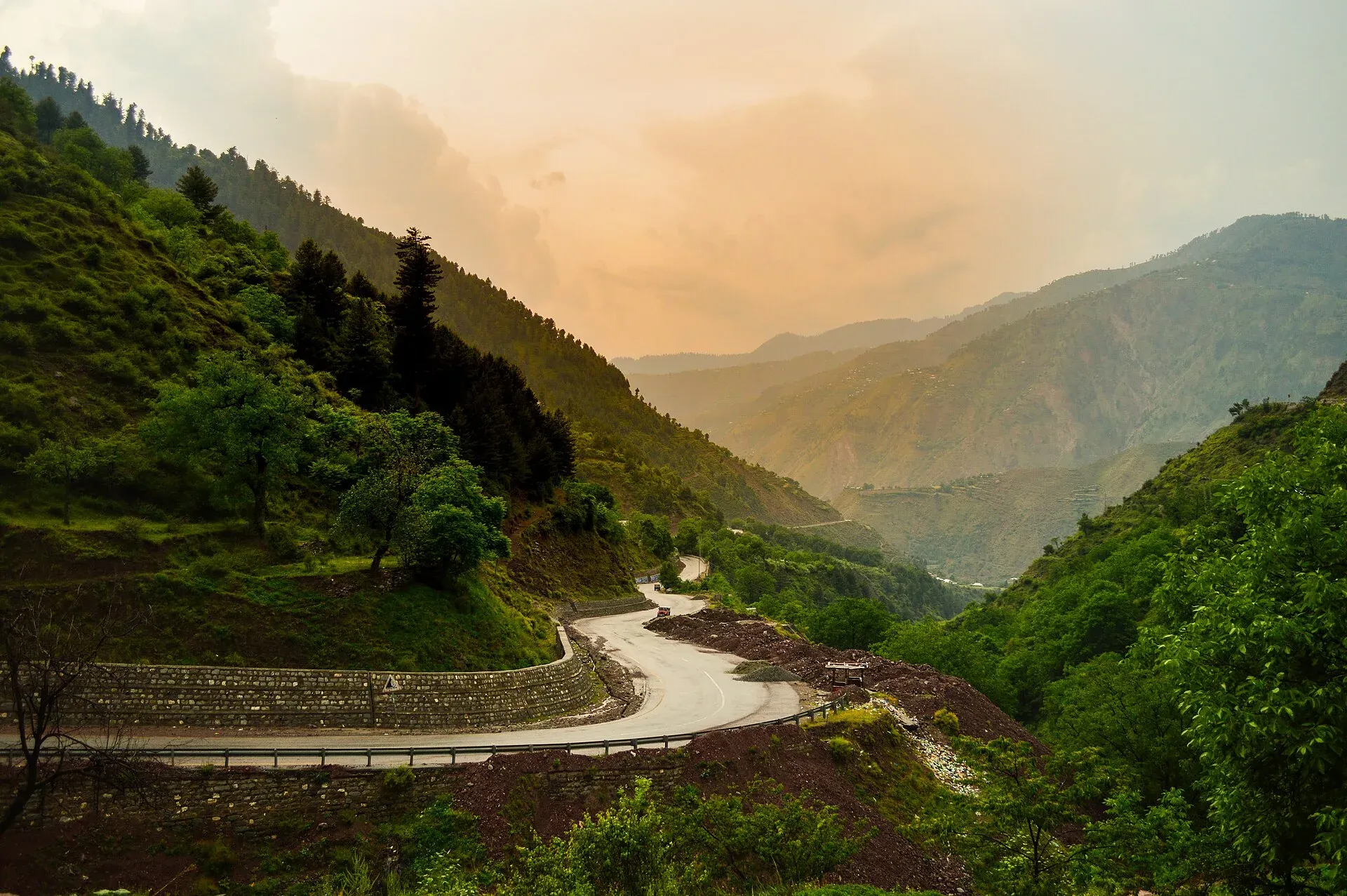
Photo: Adeel ur Rehman Mughal, with thanks · CC BY-SA 4.0 · via Wikimedia Commons · temporary stand-in photo

Kiwai Waterfall
A waterfall near Kiwai village on the road to Shogran and the Kaghan Valley, in Mansehra district, Khyber Pakhtunkhwa. It is not in the Neelum Valley.
Overview
Kiwai Waterfall is near Kiwai, a village in Mansehra district, Khyber Pakhtunkhwa, on the way to Shogran and the Kaghan Valley. Some lists place it in Azad Kashmir's Neelum Valley, but most sources put it in Kaghan. Wikipedia's Kaghan Valley article mentions "Kiwai waterfalls" at the village near Shogran. There is no sourced height or coordinates, and the fall is described as modest in size.
Plan your visit
- Nearest town
- Balakot
- Getting there
From Islamabad, drive via Abbottabad and Mansehra to Balakot, then continue on the Kaghan road to Kiwai village (the turn for Shogran). Guides give 4 to 5.5 hours from Islamabad. Ask locally for the path to the fall. More
Best months
May – Sep
On the Kaghan road
The Kaghan Valley follows the Kunhar River from Balakot, at roughly 650 m, up to Naran and the Babusar Pass. Kiwai is the next stop after Balakot for many visitors, and Shogran is signed from here. Travel guides call it one of the first halts on the way to Naran. The Kaghan page on this site lists Shogran as a hill station at about 2,362 m on a plateau above Kiwai, so Kiwai is also where the jeep road to Shogran and the Siri and Paye meadows leaves the main road.
What to see and do
- A roadside stop. One guide describes a picnic-style setting where visitors halt for about half an hour for food, snacks and the view, and says it is a family stop. It also says the stones make crossing the water tricky.
- Water play. The same guide says the water by the restaurant area is about half a foot deep, but falling on the stones can injure you.
- Onward to Shogran. See Shogran and Siri Paye Meadows.
Getting there
From Islamabad the route runs on the motorway and highway via Abbottabad and Mansehra to Balakot, then on to Kiwai. A travel guide gives about 4 hours; other sources give 4 to 5.5 hours. Tour groups leaving late at night reach Kiwai early in the morning, according to the same guide. No coordinates are published for the fall, so no route calculation is possible. Mobile signal is weak in many places, so download an offline map first.
When to visit
The Kaghan Valley road is open to visitors mainly in summer and closes in winter because of snow, which usually melts between February and April. Kiwai itself is lower and reachable earlier, but there is no known official season for the fall. Monsoon rain (July and August) can swell the stream and cause landslides on the Balakot-Kaghan road.
Where to stay and eat
One travel guide mentions several hotels and restaurants at the stop, with higher prices, though most visitors do not stay long. Balakot and Shogran offer more choice. There is no official facility list.
Good to know
- Safety. Wet stones near the stream are slippery, and the stream rises after rain. There are no known dated incident reports for this fall.
- Fees. No official fee information found; current fees will be added soon.
- Etiquette. Take litter away, and keep to the paths near homes.
- Ask the district administration or local police about current conditions before you go. Travel advice. For foreign visitors: the UK FCDO page (updated 27 October 2026, checked 17 November 2026) advises against all travel on the KKH between Mansehra and Chilas and in other listed Khyber Pakhtunkhwa districts. It does not name Kiwai or Balakot, but read the current page before you go.
Highlights
- Modest roadside fall near Kiwai village
- On the way to Shogran and Naran
- Short, easy walk
- Gateway to the Siri-Paye jeep road
Tips
- Wear shoes with grip near the stream
- Check road news for Balakot and Kaghan before leaving
- Do not rely on published travel times
- Check FCDO advice before travelling
Photos we still need: the fall and its picnic area; the Balakot to Kiwai road. Send us yours
Sources and last checked
Last checked Confidence low4 sources4 still to check
- Last checked
- Method
- Desk research from published sources
- Confidence
- low
- Checked by
- trek.pk research team
Researched from published sources; not yet checked on the ground by our team. Spot something out of date? Report a mistake.
Sources
- Kaghan Valley · Wikipedia · checked
- Kiwai Waterfall, Kaghan · Pakistan Traveler · checked
- Kiwai Waterfall · Travelertrails · checked
- Pakistan travel advice: warnings and insurance · UK Foreign, Commonwealth & Development Office · checked
Still to be checked on the ground (4)
- Exact position of the fall and walking time (Wikipedia names only 'Kiwai waterfalls' near Shogran)
- Height (not given by Wikipedia)
- Season and road status (Wikipedia: Kaghan accessible in summer; roads and Babusar Pass usually open May to September; no current status)
- Facilities
Nearby and related

Kaghan Valley (with Naran)
A 155 km Himalayan valley above Balakot along the Kunhar River, with Shogran, Naran, Saiful Muluk and Lulusar lakes, and the road to Babusar Pass. Open mainly from May to October.

Balakot
The gateway to the Kaghan Valley, on the Kunhar River in Mansehra District. Balakot was destroyed in the 2005 earthquake and is the last big town before Naran, Shogran and Siri Paye.