

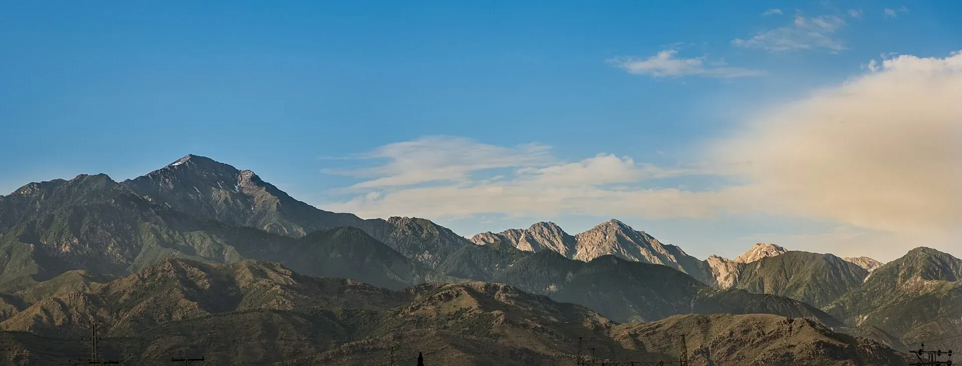
Photo: Safed Koh, with thanks · CC BY-SA 4.0 · via Wikimedia Commons · temporary stand-in photo

Peiwar Kotal
A border pass at the head of the Kurram valley, linking Kurram with Paktia in Afghanistan. Best known for the November 1878 battle. History only: the FCDO advises against all travel to Kurram.
Overview
Peiwar Kotal (Peiwar Pass, sometimes called the Kurram Pass) is a pass on the Durand Line at the head of the Kurram valley. It joins Kurram district in Khyber Pakhtunkhwa with Paktia province in Afghanistan. Modern reference sites give its height as about 2,615 m (8,579 ft), and a British-era gazetteer gave 8,450 ft, so the figures broadly agree at around 2,600 m. The range seen from the Parachinar side is the Spin Ghar (Safed Koh), the White Mountains.
This is a history page. The pass lies in a border district where the FCDO advises against all travel, and it is not an arranged visitor site.
Plan your visit
- Nearest town
- Parachinar
- Getting there
Not advised. The pass lies at the head of the Kurram valley beyond Parachinar. There is no tourist access we can confirm. More
The battle of 1878
The pass is known for one event. On 21 November 1878, at the start of the Second Anglo-Afghan War, a British column under Major General Frederick Roberts entered the Kurram valley on its way towards Kabul. It was one of three columns that invaded Afghanistan.
The Afghan force, under Karim Khan, held a fortified position on a mountain above the pass that Roberts called "apparently impregnable". Roberts had 73 officers and 3,058 men with 13 guns. The Afghans numbered 4,000 to 5,000, regular troops and local tribesmen, with 25 guns. British units included the 2nd Battalion of the 8th King's Regiment, half a battalion of the 72nd Highlanders and several Indian regiments, among them the 5th Gurkha Rifles.
Roberts camped outside artillery range for several days while scouts reconnoitred. On 1 December he staged a feint, preparing a frontal artillery attack, and moved the main body round the Afghan flank overnight. The attack came on the morning of 2 December and took the Afghans by surprise. Highlanders and Gurkhas took several strong positions, and the Afghans withdrew when their line of retreat was threatened.
British losses were 21 killed and 72 wounded; Afghan losses were about 200 killed or wounded. Captain John Cook received the Victoria Cross, and the 5th Gurkha Rifles earned their first battle honour. The victory opened the route to Kabul. The first phase of the war ended on 26 May 1879, after the Afghan government sought peace and accepted a British Resident in Kabul.
What to see and do
Beyond the battlefield history, the pass is a back route into Afghanistan from the Kurram valley. There is no known official tourism information about visits.
When to visit
A visit is not recommended, so no season is given. One road guide says snow can close the pass from late November to April, and that the border can close without warning.
Where to stay and eat
Parachinar is the main town of Kurram, but it is covered by the same travel warning.
Good to know
- Ask the district administration or local police about current conditions before you go. Travel advice. For foreign visitors: the UK FCDO (updated 27 October 2026, checked 16 November 2026) advises against all travel to Kurram, and against all travel within 10 miles of the Pakistan-Afghanistan border.
- Border. The border with Afghanistan has been tense: RFE/RL reported on 4 October 2026 that major crossings had been closed since October 2025.
- Fees. None.
Highlights
- Pass at the head of the Kurram valley
- About 2,600 m high, on the Afghan border
- Scene of the 2 December 1878 British-Afghan battle
- Not open to ordinary visitors
Getting there
Not advised. The pass lies at the head of the Kurram valley beyond Parachinar. There is no tourist access we can confirm.
Tips
- Use it as a history stop in your reading, not your plans
- Check the FCDO page for Kurram
- Read the Khyber Pass page for the other great frontier route
Photos we still need: the Peiwar Kotal pass itself. Send us yours
Sources and last checked
Last checked Confidence low5 sources2 still to check
- Last checked
- Method
- Desk research from published sources
- Confidence
- low
- Checked by
- trek.pk research team
Researched from published sources; not yet checked on the ground by our team. Spot something out of date? Report a mistake.
Sources
- Peiwar Pass (Wikipedia) · Wikipedia · checked
- Battle of Peiwar Kotal (Wikipedia) · Wikipedia · checked
- Peiwar Pass (Dangerous Roads) · Dangerous Roads · checked
- Afghanistan-Pakistan border closure, one year on (4 October 2026) · RFE/RL · checked
- Pakistan travel advice: warnings and insurance (updated 27 October 2026) · UK FCDO · checked
Still to be checked on the ground (2)
- Height (2,615 m on Dangerous Roads and Wikipedia-derived listings vs 8,450 ft in a British-era gazetteer; no official figure found)
- Current access (Dangerous Roads, undated, says snow can close the pass late November to April and the border can close without warning; no official source)
Nearby and related

Khyber Pakhtunkhwa
Mountains, Buddhist ruins and old bazaars in north-west Pakistan: Swat, Kaghan, Chitral, the Kalash valleys, the Khyber Pass and Peshawar.

Khyber Pass
The historic 40 km pass from Jamrud to Landi Kotal and the Afghan border, used by invaders and traders for thousands of years. Today the area is under an FCDO all-travel warning and Torkham is closed.