

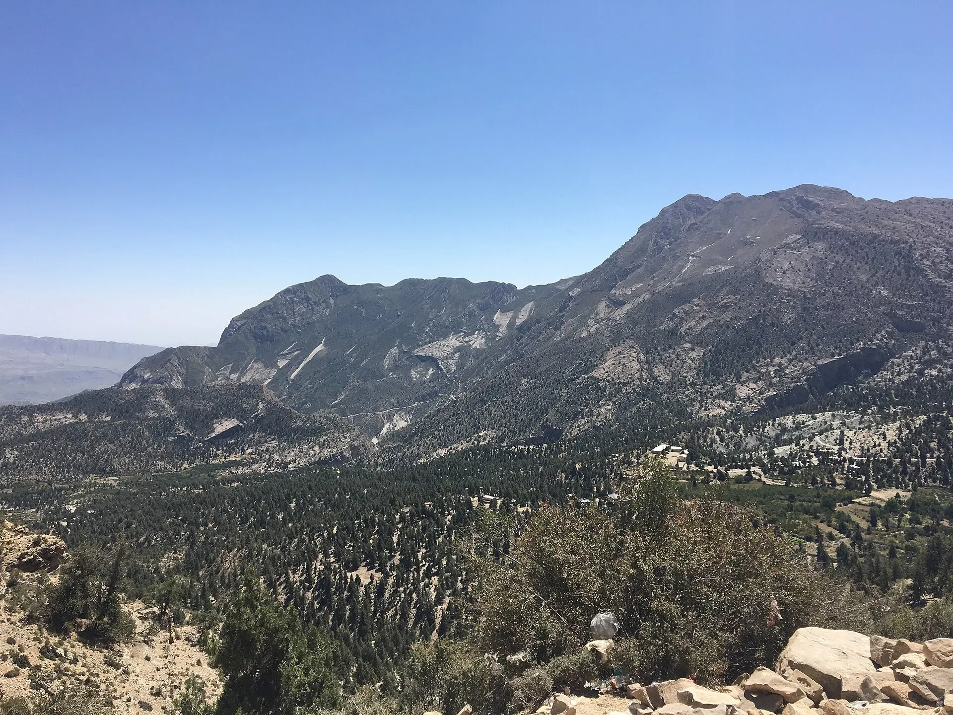
Photo: Faiqah Abdul Jabbar, with thanks · CC BY-SA 4.0 · via Wikimedia Commons · temporary stand-in photo

Sandeman Tangi (Ziarat)
A gorge and waterfall village about 4 km from Ziarat, named after the colonial administrator Robert Sandeman. For foreign visitors: the UK FCDO advises against all travel to Balochistan, including Ziarat.
Overview
Sandeman Tangi (spelled Sandman Tangi in many sources) is a village and union council in Ziarat District, about 4 km from Ziarat town (another guide says about 5 km). A tangi is a narrow gorge or canyon cut by water through a ridge. A waterfall cascades down the rocks here and draws visitors. The village is named after Robert Groves Sandeman, a British administrator. The waterfall was earlier called Droond Tangai, and local belief held that ghosts lived there. Treat that as folklore.
Plan your visit
- Nearest town
- Ziarat
- Getting there
Sandeman Tangi is about 4 km from Ziarat (Wikipedia). Ziarat is about 124 km and 1 hour 47 minutes by road from central Quetta (OSRM, checked 16 November 2026). From Ziarat, use a local vehicle or walk the last part. More
Best months
May – Oct
Ziarat around it
Ziarat is a town at about 2,543 m, roughly 130 km from Quetta by road. It became a separate district on 1 July 1986. It is surrounded by the Ziarat juniper forest, known locally as Sanober. The forest covers about 110,000 hectares and is described as the largest juniper forest area in Pakistan, with some trees said to be about 4,000 years old. The valley is also known for the Quaid-e-Azam Residency, where Muhammad Ali Jinnah spent some of his last days. The area has a continental climate and is cool in summer compared with other Pakistani cities. On 29 October 2008 an earthquake doublet (magnitudes 6.2 and 6.4) struck the area, killing more than 200 people. See the Ziarat and Ziarat Valley pages.
What to see and do
The attraction is the gorge and the waterfall. One guide describes a track to the left on entering Ziarat that leads to the site, partly reachable by vehicle, with the rest on foot through canyons. Juniper forest grows along the way, as it does around Ziarat town. The same guide gives no trek length or duration and notes that the trek has no facilities, so visitors are advised to base themselves in town. No source gives water levels by season, and rocks near the water are slippery.
Other gorges on the road to Ziarat include Chutair Tangi, Kahn Tangi, Kawas Tangi and Faran Tangi. Other places listed near Ziarat include the Quaid-e-Azam Residency, the Jirga Hall (Victoria Memorial Hall), the walk from Ziarat to Prospect Point, the Sibi Mela festival and the Pir Ghaib rock pools and cascades.
When to visit
Ziarat is a hill station and is cold in winter, with snow. Late spring to early autumn is easier on the roads.
Where to stay and eat
Stay in Ziarat town, which has guest houses and hotels in its main market. No businesses are named here. Carry water and food for the walk.
Good to know
- Safety. For foreign visitors: the UK FCDO page for Pakistan (updated 27 October 2026, checked 16 November 2026) advises against all travel to Balochistan, including Quetta and Ziarat. Read it and local news before you plan.
- Wear shoes with grip, and stay back from cliff edges.
- Entry rules and fees are not confirmed; current fees will be added soon.
- Related: Quetta.
Highlights
- Gorge and waterfall about 4 km from Ziarat
- Village named after Robert Sandeman
- Part of the Ziarat gorge country
- Easy half-day trip from Ziarat town
Getting there
Sandeman Tangi is about 4 km from Ziarat (Wikipedia). Ziarat is about 124 km and 1 hour 47 minutes by road from central Quetta (OSRM, checked 16 November 2026). From Ziarat, use a local vehicle or walk the last part. There is no reliable public transport to the site.
Tips
- Ask locals for the track from Ziarat.
- Wear grippy shoes; rocks are slippery.
- Go after rain for more water.
- Check security news before travelling.
Photos we still need: Sandeman Tangi waterfall and gorge. Send us yours
Sources and last checked
Last checked Confidence low5 sources4 still to check
- Last checked
- Method
- Desk research from published sources
- Confidence
- low
- Checked by
- trek.pk research team
Researched from published sources; not yet checked on the ground by our team. Spot something out of date? Report a mistake.
Sources
- Sandman Tangi · Wikipedia · checked
- Hiking to Sandeman Tangi Waterfall · Visit Silk Road · checked
- Foreign travel advice: Pakistan · UK FCDO · checked
- OSRM routing · OSRM / OpenStreetMap · checked
- Ziarat, Balochistan · Wikipedia · checked
Still to be checked on the ground (4)
- Exact location and coordinates (Wikipedia gives none; one guide gives roughly 30.40 N 67.73 E, not an official or map source)
- Waterfall flow by season
- Access track (one guide: a track to the left on entering Ziarat, then a trek through canyons) and any entry fee (none found)
- Security situation
Nearby and related

Ziarat Valley
A cool mountain valley and hill station at about 2,400 m in northern Balochistan, known for ancient juniper forest, orchards and the Quaid-e-Azam Residency. Check security advice before travel.

Ziarat
A cool hill town at about 2,500 m in northern Balochistan, famous for the Quaid-e-Azam Residency and nearby juniper forest. UK advice is against all travel to Balochistan, including Ziarat (checked 16 November 2026).

Quetta
Balochistan's high-valley capital, the Fruit Garden of Pakistan: bazaars, sajji, orchard valleys and the base for Hanna Lake and Ziarat.