

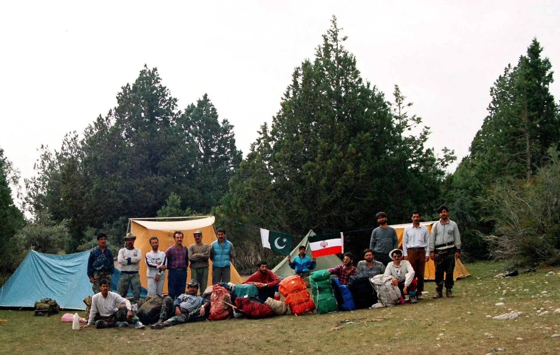
Photo: Simon KB, with thanks · CC BY-SA 4.0 · via Wikimedia Commons · temporary stand-in photo
Central Brahui Range
The mountains around Quetta. Zarghun Ghar (3,578 m) is generally cited as the highest peak in Balochistan, with Chiltan and Hanna Lake nearby.
Overview
The Central Brahui Range surrounds Quetta in Balochistan. Its highest summit is Zarghun Ghar (3,578 m), generally cited as the highest peak in the province. The second is Kuchnai Saar at 3,404 m. Wikipedia's Koh-i-Zarghun page gives the Loe Nikan summit as 3,550 m, so the height is not settled; Wikipedia's Central Brahui Range page gives 3,578 m, and both Wikipedia pages cite the same Chiltan Adventures Association list. The Express Tribune (6 October 2014) also gives 3,578 m.
The range lies east of Quetta and is part of the wider Sulaiman system; the important passes through it include the Bolan Pass and the Harnai Pass. The slopes from the base of Zarghun Ghar up to Ziarat are covered in juniper forest. Wikipedia gives the Ziarat juniper forest as about 1,118 square kilometres, with some of the oldest trees put at 5,000 to 7,000 years, though the same page also says 3,000. In 2014, 65 climbers were taken to the summit by the Chiltan Adventurers Association with army support, as part of a juniper-conservation effort (Express Tribune).
Places nearby
- Hanna Lake and Urak Valley, popular short trips from Quetta.
- Hazarganji-Chiltan National Park, with the peak of Chiltan (3,194 m per Wikipedia; its name means "forty bodies").
- Other hills around Quetta such as Takatu and Murdar.
No reliable range length was found.
When to go
Spring and autumn. Winter brings snow, and summers are hot lower down. This is an estimate.
Good to know
- Gateway: Quetta.
- Ask the district administration or local police about current conditions before you go. For foreign visitors: the UK government advises against all travel to Balochistan (FCDO page updated 27 October 2026). Other governments differ. Check current advice and permit rules before planning.
Notable peaks
Sources and last checked
Last checked Confidence low6 sources4 still to check
- Last checked
- Method
- Desk research from published sources
- Confidence
- low
- Checked by
- trek.pk research team
Researched from published sources; not yet checked on the ground by our team. Spot something out of date? Report a mistake.
Sources
- Central Brahui Range · Wikipedia · checked
- Koh-i-Zarghun · Wikipedia · checked
- Highest peak of Balochistan: club, army join hands · The Express Tribune · checked
- Foreign travel advice: Pakistan · UK GOV.UK · checked
- Chiltan (Wikipedia) · Wikipedia · checked
- Ziarat Juniper Forest · Wikipedia · checked
Still to be checked on the ground (4)
- Zarghun Ghar height (3,578 m in the Express Tribune and Wikipedia's range page; 3,550 m in Wikipedia's Koh-i-Zarghun page)
- Range length and geology (Wikipedia gives neither)
- Season dates are estimates
- Security and NOC rules (FCDO advises against all travel to Balochistan; NOC rules not found)

