

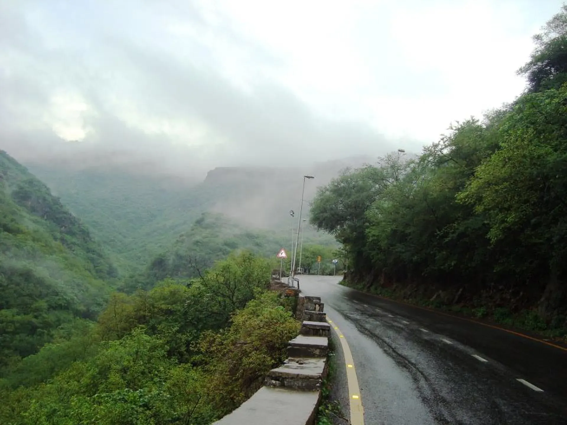
Photo: Ctrlpk, with thanks · CC BY-SA 3.0 · via Wikimedia Commons · temporary stand-in photo
Margalla and Galyat Foothills (Lesser Himalaya)
Forested foothills north of Islamabad, from the Margalla Hills to Murree and the Galyat. Easy trails, with Miranjani (2,992 m) the highest point of the Galyat.
Overview
North of Islamabad and Rawalpindi, the plains rise into green, forested hills. These are the foothills of the Lesser Himalaya. This page covers three connected areas: the Margalla Hills, the Murree hills, and the Galyat towards Abbottabad. They are the easiest mountains in Pakistan to reach, often within one to two hours of the capital.
Margalla Hills
The Margalla Hills form the northern edge of Islamabad Capital Territory and lie within Margalla Hills National Park; the hill range itself covers about 12,605 ha. The highest point is Tilla Charouni at 1,604 m. The rock is mostly limestone, with sandstone and shale. Wikipedia gives the age as Eocene in one place and Miocene in another.
The climate is humid subtropical. Islamabad, which sits at the foot of the hills, averages about 1,457 mm of rain a year. More than 430 bird species have been recorded, and leopards and rhesus macaques live here. Margalla is also home to Buddhist-era murals at the Shah Allah Ditta caves. Walkers use the marked numbered trails and the Pipeline Track.
Murree and the Galyat
Higher up, the Galyat is a belt of hill towns and pine forest. Miranjani (2,992 m) is the highest summit, followed by Mushkpuri (2,800 m), both above Nathia Gali in and around Ayubia National Park. Wikipedia gives the Mushkpuri trail as about 4 km from Nathia Gali on the western route. The Pipeline Track, an easy walk between Dunga Gali and Ayubia, is popular for families.
Wikipedia gives Murree town an altitude of about 2,291 m.
When to go
- Margalla: October to April (estimate).
- Galyat: April to October. Snow can close roads and trails in winter.
Good to know
- Gateways: Islamabad, Murree and Abbottabad.
- Margalla trails get very busy on weekends. Start early.
- Wildlife is wild. Keep your distance from leopards and monkeys.
- Note that the Margalla and Galyat belong to different park authorities. Check local signs for rules.
Geology
Foothills of the Lesser Himalaya. The Margalla Hills are mainly limestone mixed with sandstone and occasional thin beds of shale; Wikipedia, citing an archaeology project, dates their formation to the Miocene.
Notable peaks
Sources and last checked
Last checked Confidence medium5 sources3 still to check
- Last checked
- Method
- Desk research from published sources
- Confidence
- medium
- Checked by
- trek.pk research team
Researched from published sources; not yet checked on the ground by our team. Spot something out of date? Report a mistake.
Sources
- Margalla Hills · Wikipedia · checked
- Mukshpuri · Wikipedia · checked
- List of mountains in Pakistan · Wikipedia · checked
- Miranjani (Wikipedia) · Wikipedia · checked
- Murree (Wikipedia) · Wikipedia · checked
Still to be checked on the ground (3)
- Season dates are estimates
- Current trail rules and closures (ask the park authorities)
- Murree height (about 2,291 m): Wikipedia gives no source for it that we could check


