

Photo: Usama javaid, with thanks · CC BY-SA 4.0 · via Wikimedia Commons · temporary stand-in photo

N-75 Islamabad-Kohala
The N-75 climbs from Islamabad through Murree to Kohala on the Jhelum River, the Punjab edge of Azad Kashmir. Wikipedia gives about 90 km; the NHA list shows 138 km.
Overview
The N-75 runs from Islamabad to Kohala via Murree, maintained by the NHA (Wikipedia). It is the older, winding road to the hill station, and goes on to the Jhelum River at Kohala, where the road crosses into Azad Jammu and Kashmir towards Muzaffarabad. Sources disagree on the length: the Wikipedia list of national highways gives 138 km and four lanes, while the Wikipedia N-75 article gives 90 km and cites an NHA N-75 page (retrieved May 2025). There is no known official figure that settles it. Measured by road routing from Islamabad, Murree is about 53 km away and Kohala about 92 km.
Dawn calls the Murree Expressway "N-75" in its July 2026 report, so the old hill road and the newer expressway are easy to confuse. We have not confirmed how they relate on the ground, so check which road your map or driver is using.
Route and stops
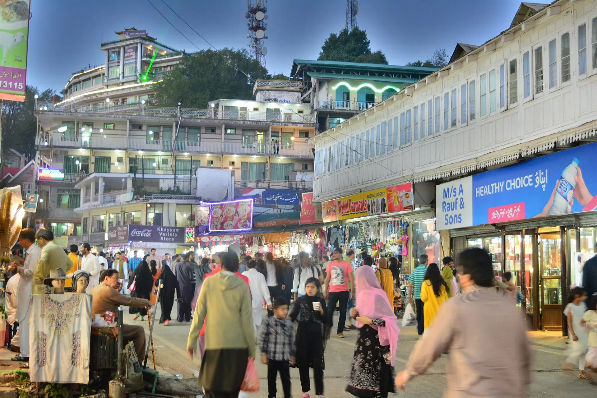
Photo: Moheman7, with thanks · CC BY-SA 4.0 · via Wikimedia Commons · temporary stand-in photo

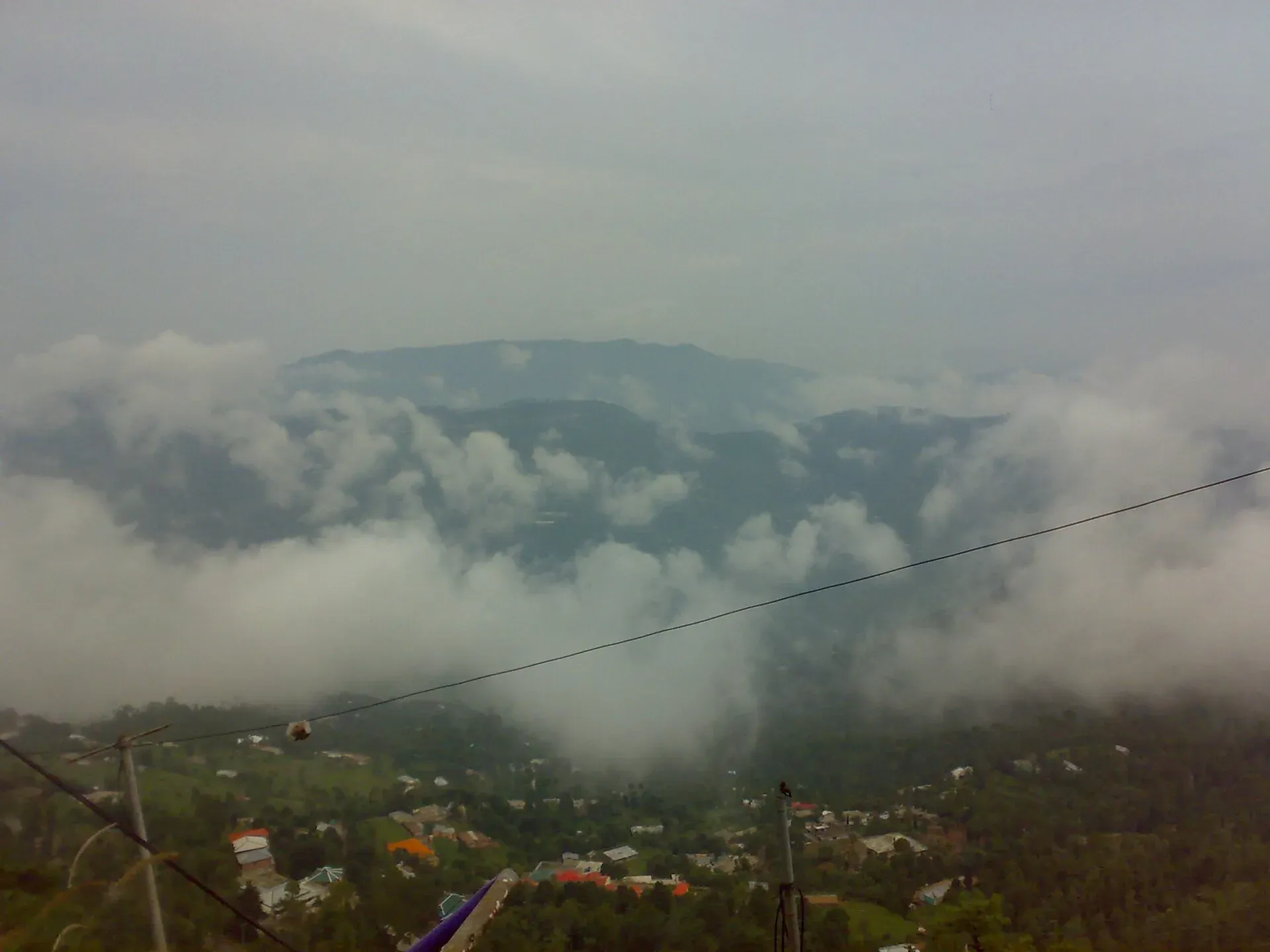
Photo: Afnanid45, with thanks · CC BY-SA 4.0 · via Wikimedia Commons · temporary stand-in photo

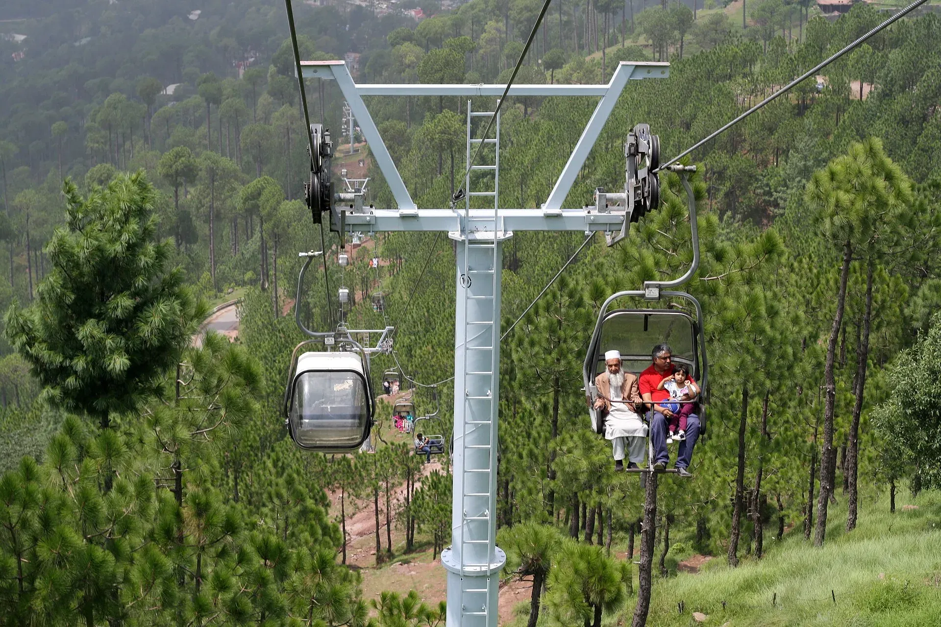
Photo: Drsaeed90, with thanks · CC BY-SA 4.0 · via Wikimedia Commons · temporary stand-in photo

From Islamabad the road climbs to Murree, then descends to Kohala. Wikivoyage gives about 1 hour from Islamabad to Murree by the expressway and about 1.5 hours by the old road; OSRM measures about 59 km (an estimate) from the centre of Islamabad to Murree.
- Islamabad to Murree: a steady climb through pine hills. The old Murree Road works as a bypass around the centre of Murree.
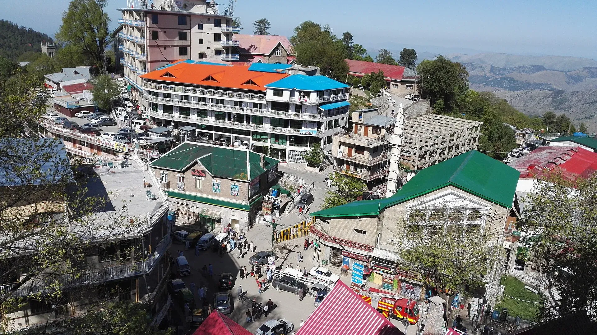
- Murree: the main stop, at about 2,300 m. Mall Road is the main strip, with shops, hotels, restaurants and handicraft stalls. Pindi Point is a pine-shaded hilltop viewpoint about 15 minutes' walk from Mall Road, with views down to Rawalpindi and Islamabad. Wikivoyage names Kashmir Point as the highest point in Murree and says Peshawari-style tikka and karahi are served there. On clear days it is possible to see snow peaks in Kashmir, and sometimes Nanga Parbat.
- Patriata: a hilltop at about 2,250 m with a 3.25 km chairlift and cable car, sometimes called New Murree. It is part of the weekend traffic problem.
- Bhurban: a pine-forest resort about 11 km from Murree at roughly 1,830 m, with a golf course and trails towards Ayubia National Park. Wikivoyage gives about 25 minutes from Murree.
- Ayubia and Nathia Gali: day trips from Murree. Wikivoyage puts Ayubia about 26 km away, with a chairlift at Ghora Dhaka.
- Kohala: the Jhelum River bridge and the edge of Azad Jammu and Kashmir, about 92 km from Islamabad by OSRM.
Wikivoyage warns that Murree's roads are narrow with sharp turns and that the centre is congested. Its advice is to park north of town and walk in, and to book a hotel in advance because touts posing as hotel staff can take large commissions.
Road condition
It is a hill road with many bends and heavy weekend traffic, and the surface is generally paved, though we have not seen a recent official condition report. In rain and snow the road becomes slow and slippery, and drivers should carry chains in winter. From Murree, the road drops towards the Jhelum River at Kohala, where it meets the border of Azad Kashmir. Drive in daylight, keep to low gears on the descent, and give yourself extra time at weekends, when traffic into Murree can be very slow. Buses and vans run from Rawalpindi to Murree; beyond Murree to Kohala, services are less frequent, so ask at the bus stand for the current schedule.
Dated incidents
- 6 April 2026: rain set off landslides in several areas of Murree, with rescue teams sent to Jheeka Gali (Dawn, 6 April 2026).
- 2 July 2026: the government decided at an NHA meeting to extend the Murree Expressway by 70 km to Muzaffarabad (Dawn, 2 July 2026). This is a plan, not a finished road. The same report says a van fell into a nullah and caught fire on the road earlier in July 2026, killing at least 10 people (National Highways and Motorway Police, quoted by Dawn).
What to see along it
- Murree, Mall Road and the viewpoints above.
- Patriata chairlift and Bhurban, a short drive off the main road.
- The road itself: pine forest on the climb and long views on the descent to the Jhelum.
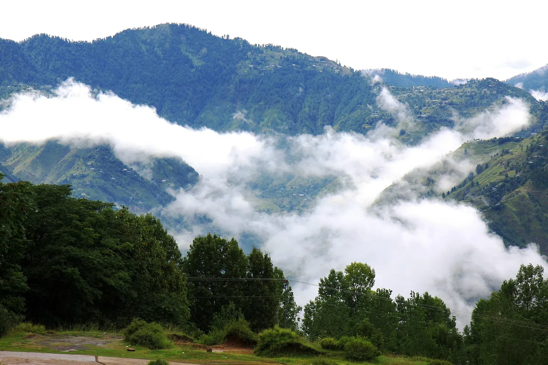
Photo: Aizad Sayid, with thanks · CC BY-SA 4.0 · via Wikimedia Commons · temporary stand-in photo

Hazards and seasons
- Winter snow: January and February snow can close roads around Murree and slow traffic. Carry chains and check weather.
- Monsoon: landslides on the hillsides.
- Weekend traffic: huge queues in summer and snow tourism seasons; avoid weekends. Wikivoyage says summer is the busiest season and that hotel rates can be five or six times the winter rate.
Fuel and services
Fuel stations at Islamabad outskirts, Murree and the road to Kohala. Rooms and food at Murree are plentiful and often full on weekends. Prices rise at peak times.
Tolls
Tolls are charged on parts of the Murree road network. Current rates will be added soon; check with NHA.
Safety and travel advice by section
For foreign visitors: the UK FCDO page (updated 27 October 2026, checked 16 November 2026) does not list Islamabad or the Murree hills as areas to avoid. It advises against all but essential travel to Azad Jammu and Kashmir, and against all travel within 10 miles of the Line of Control, so do not plan to go beyond Kohala without reading the live text. Do not drive in heavy snow or at night.
Highlights
- Hill road to Murree
- Descends to the Jhelum at Kohala
- Close to Bhurban, Patriata and the Galyat
- Short and easy from Islamabad
Stops
- IslamabadStart
- MurreeHill station; Mall Road and viewpoints
- KohalaJhelum River bridge; edge of Azad Kashmir (Muzaffarabad lies beyond)
km: distance from the start along the route.
Numbers follow the stops in order. The map shows the stops, not the road itself.
Where to stay, eat and fuel up
Places to stay
- Serena HotelCall Serena HotelMap of Serena Hotel in Google Maps
- Islamabad Marriott HotelCall Islamabad Marriott HotelMap of Islamabad Marriott Hotel in Google Maps
- Murree Hotels MurreeMap of Murree Hotels Murree in Google Maps
- Mabali IslandCall Mabali IslandMap of Mabali Island in Google Maps
- Ramada by Wyndham IslamabadCall Ramada by Wyndham IslamabadMap of Ramada by Wyndham Islamabad in Google Maps
- Avari Xpress Residences Islamabad HotelCall Avari Xpress Residences Islamabad HotelMap of Avari Xpress Residences Islamabad Hotel in Google Maps
Places to eat
- The Monal IslamabadCall The Monal IslamabadMap of The Monal Islamabad in Google Maps
- Tehzeeb Bakers Blue AreaCall Tehzeeb Bakers Blue AreaMap of Tehzeeb Bakers Blue Area in Google Maps
- TKR 3Call TKR 3Map of TKR 3 in Google Maps
- Savour FoodsCall Savour FoodsMap of Savour Foods in Google Maps
- Cheezious Commercial MarketCall Cheezious Commercial MarketMap of Cheezious Commercial Market in Google Maps
- Savour FoodsCall Savour FoodsMap of Savour Foods in Google Maps
Essential services fuel stations, mechanics, pharmacies and hospitals and clinics
Fuel
- Attock Petrol PumpMap of Attock Petrol Pump in Google Maps
- PSO Petrol PumpMap of PSO Petrol Pump in Google Maps
- PSO Petrol Pump (Zoom Filling)Call PSO Petrol Pump (Zoom Filling)Map of PSO Petrol Pump (Zoom Filling) in Google Maps
- Attock Petrol PumpCall Attock Petrol PumpMap of Attock Petrol Pump in Google Maps
- Byco Petrol Pump (Range Road)Map of Byco Petrol Pump (Range Road) in Google Maps
- PSO Petrol PumpCall PSO Petrol PumpMap of PSO Petrol Pump in Google Maps
Mechanics and tyre shops
- Mohammed Bilal tyre centreMap of Mohammed Bilal tyre centre in Google Maps
- Toyota GT MotorsCall Toyota GT MotorsMap of Toyota GT Motors in Google Maps
- JAPAN TYRES Blue AreaCall JAPAN TYRES Blue AreaMap of JAPAN TYRES Blue Area in Google Maps
- Polygon CastCall Polygon CastMap of Polygon Cast in Google Maps
- Hybrid SpecialistCall Hybrid SpecialistMap of Hybrid Specialist in Google Maps
- Honda CapitalCall Honda CapitalMap of Honda Capital in Google Maps
Pharmacies
- Imtiaz Mega - Ramzan Mall - islamabadCall Imtiaz Mega - Ramzan Mall - islamabadMap of Imtiaz Mega - Ramzan Mall - islamabad in Google Maps
- D.WATSON CHEMIST BLUE AREACall D.WATSON CHEMIST BLUE AREAMap of D.WATSON CHEMIST BLUE AREA in Google Maps
- D.WATSON CHEMIST F-11 MARKAZCall D.WATSON CHEMIST F-11 MARKAZMap of D.WATSON CHEMIST F-11 MARKAZ in Google Maps
- Shaheen Chemist I-8 MarkazCall Shaheen Chemist I-8 MarkazMap of Shaheen Chemist I-8 Markaz in Google Maps
- Shaheen ChemistCall Shaheen ChemistMap of Shaheen Chemist in Google Maps
- D. Watson Chemist F-10 MarkazCall D. Watson Chemist F-10 MarkazMap of D. Watson Chemist F-10 Markaz in Google Maps
Hospitals and clinics
- Shifa International Hospitals LimitedCall Shifa International Hospitals LimitedMap of Shifa International Hospitals Limited in Google Maps
- Amanat Eye Hospital RawalpindiCall Amanat Eye Hospital RawalpindiMap of Amanat Eye Hospital Rawalpindi in Google Maps
- Maryam Memorial Hospital (MMH)Call Maryam Memorial Hospital (MMH)Map of Maryam Memorial Hospital (MMH) in Google Maps
- Combined Military Hospital Rawalpindi (CMH)Call Combined Military Hospital Rawalpindi (CMH)Map of Combined Military Hospital Rawalpindi (CMH) in Google Maps
- Advanced International Hospital IslamabadCall Advanced International Hospital IslamabadMap of Advanced International Hospital Islamabad in Google Maps
- Brain Surgery HospitalCall Brain Surgery HospitalMap of Brain Surgery Hospital in Google Maps
Listings come from Google Maps data and are unverified: phone numbers, opening months and prices may have changed. Report a problem · Own one of these? Claim it
More safety notes
- Islamabad to Murree: not listed by the UK FCDO (checked 16 November 2026).
- Kohala and beyond: Azad Jammu and Kashmir is on the all but essential list; the Line of Control zone is advised against.
- Winter and rain: check closures.
Tips
- Avoid weekends in summer and snow weeks.
- Carry chains in winter.
- Check landslide reports after heavy rain.
- Check whether you need the expressway or the older N-75.
More photos
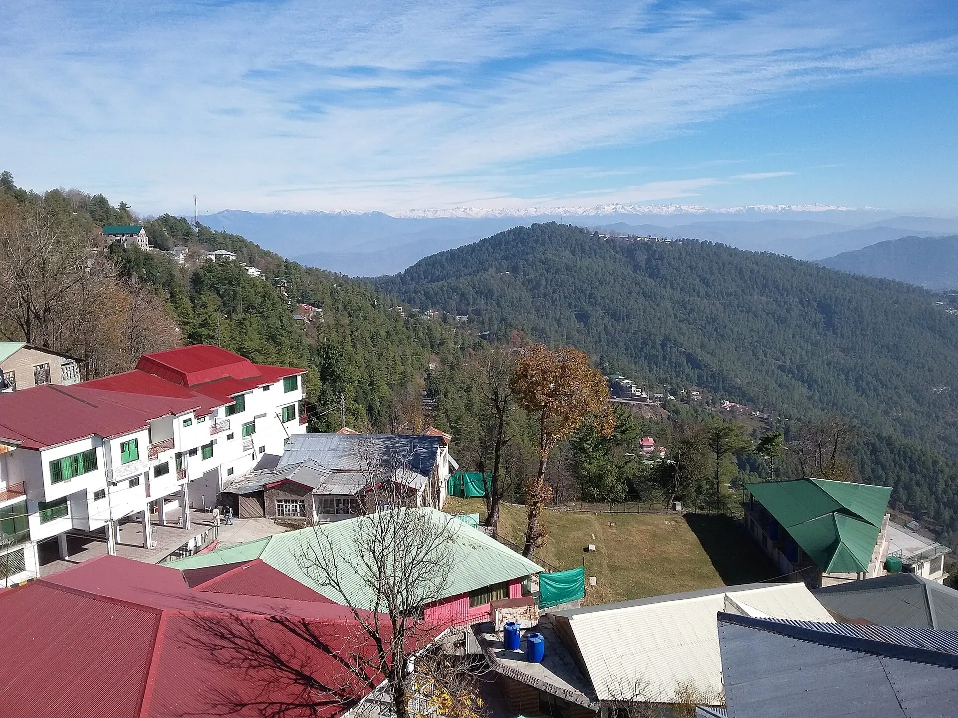
Photo: King Eliot, with thanks · CC BY-SA 4.0 · via Wikimedia Commons · temporary stand-in photo

Photos we still need: the descent from Murree to Kohala and the Jhelum bridge at Kohala. Send us yours
Sources and last checked
Last checked Confidence low7 sources4 still to check
- Last checked
- Method
- Desk research from published sources
- Confidence
- low
- Checked by
- trek.pk research team
Researched from published sources; not yet checked on the ground by our team. Spot something out of date? Report a mistake.
Sources
- National highways of Pakistan · Wikipedia · checked
- N-75 National Highway · Wikipedia · checked
- Govt decides to extend Murree Expressway by 70km to Muzaffarabad · Dawn · checked
- Heavy rains trigger landslides in Murree · Dawn · checked
- Pakistan travel advice: warnings and insurance (updated 27 October 2026) · UK Foreign, Commonwealth & Development Office · checked
- OSRM routing (road distances measured from the start of each highway) · OpenStreetMap / Project OSRM · checked
- Murree (getting there, Mall Road, viewpoints, season) · Wikivoyage · checked
Still to be checked on the ground (4)
- Official length (90 km in the Wikipedia N-75 article, citing NHA; 138 km in the Wikipedia highway list; NHA page not reachable)
- Exact alignment of N-75 versus the Murree Expressway (Dawn, 2 July 2026 calls the expressway N-75; no source found that explains the relationship)
- Which toll points apply (no source found)
- Current landslide sites (latest dated report found: Murree, 6 April 2026)
Nearby and related

Islamabad
Pakistan's green, planned capital at the foot of the Margalla Hills: Faisal Mosque, hillside trails, cafes and the gateway to the north.

Murree
Hill resort and district capital at about 2,300 m in the Galyat hills above Islamabad. Mall Road, viewpoints, cool summers and winter snow; busy at weekends.

Patriata (New Murree)
A hilltop above Murree at roughly 2,250 m with a 3.25 km chairlift and cable car, known as New Murree. It is part of the Murree traffic problem on summer weekends and snow days.

Bhurban
A quiet pine-forest hill resort about 11 km from Murree at roughly 1,830 m, with golf, a large hotel and trails towards Ayubia National Park. Busy at weekends; plan for Murree road closures in snow.

Muzaffarabad
The capital of Azad Jammu and Kashmir, at 737 m where the Neelum and Jhelum rivers meet. It is the gateway to the Neelum Valley and a rebuilt city after the 2005 earthquake.
Murree, Galyat and Abbottabad
A two-day loop from Islamabad up to Murree, along the Galyat ridge to Nathia Gali and down to Abbottabad, about 227 km by road. Best in spring and autumn; snow can shut the roads in winter.