

Photo: Usamashahid433, with thanks · CC BY-SA 4.0 · via Wikimedia Commons · temporary stand-in photo

Murree, Galyat and Abbottabad
A two-day loop from Islamabad up to Murree, along the Galyat ridge to Nathia Gali and down to Abbottabad, about 227 km by road. Best in spring and autumn; snow can shut the roads in winter.
Customise this route Change the dates, stops and how you travel in the Road Trip Planner.
Overview
This is the nearest mountain escape from Islamabad. The road climbs to Murree, a hill town at about 2,291 m, then continues along the Galyat ridge through pine forest to Nathia Gali, and drops to Abbottabad, a cooler garrison city in the plains of Hazara. You can drive the whole loop, about 227 km, in two relaxed days.
Murree was developed by the British in the 1850s as a summer station. Galyat is the name for the string of small hill stations (the word "gali" means a pass or alley between hills) between Murree and Abbottabad, such as Dunga Gali, Ayubia, Khanspur and Nathia Gali.
Who it suits
Families, first-time visitors and anyone with a weekend. The roads are paved and busy, so it is an easy trip for a car or a motorbike, and public coaches run to Murree and Abbottabad. If you want quiet, avoid Fridays, Saturdays and public holidays in summer, and go midweek.
When to go
April to June and September to October give clear days and mild weather. July and August bring monsoon rain, mist and landslides. In winter the ridge gets snow, and crowds who come to see it have caused serious jams (see Safety).
The route
- Islamabad to Murree (55.5 km, about 45 minutes without stops). Murree has its Mall, a church and viewpoints. It is the busiest stop; leave early.
- Murree to Nathia Gali (33.7 km, about 30 minutes). The road follows the Galyat ridge through forest. Dunga Gali lies about 31 km from Murree and is a useful stop for tea.
- Nathia Gali to Abbottabad (31.7 km, about 40 minutes). Nathia Gali is the quietest of the Galyat towns. Ayubia National Park is nearby. The road then descends to Abbottabad.
- Abbottabad to Islamabad (106.5 km, about 1 hour 25 minutes). An optional detour from Abbottabad is Thandiani (24.6 km, about 40 minutes), a higher hill station with long views.
Distances and times are from OSRM / OpenStreetMap, measured on 16 November 2026. Times are driving only, without stops.
Stops in order
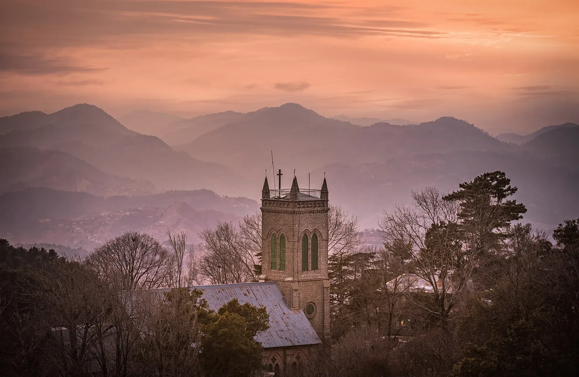
- Murree. Developed by the British in the 1850s as a summer station. The Mall is a market street that is nearly always crowded, and Holy Trinity Church is a landmark above it. Go early or midweek.
- Dunga Gali. Headquarters of Ayubia National Park, about 25 km from Murree and 50 km from Abbottabad (Wikipedia). A tea stop on the ridge.
- Ayubia National Park. Established in 1984 and expanded in 1998, with deodar cedar, blue pine, yew, silver fir, horse chestnut and oak at an average of about 2,400 m. Wikipedia lists the Indian leopard, red fox, rhesus macaque and Kashmir flying squirrel among its mammals, and over 200 bird species. The Pipeline Track is a walking route of about 4 km between Ayubia and Nathia Gali. A chairlift at Ayubia carries visitors to the Mukeshpuri summit for views over the forest.
- Nathia Gali. The quietest of the Galyat towns, in pine forest. Miranjani, the highest peak of the Nathia Gali area, can be seen from the town. The Mushkpuri hike starts near here.
- Abbottabad. Founded in January 1853 by James Abbott, deputy commissioner of Hazara, at about 1,256 m. Shimla Hill gives views over the city. Wikipedia also lists St Luke's Church (built in 1864), Lady Garden Park and the Abbott Museum. The Pakistan Military Academy is at Kakul, about 8 km north-east. Abbottabad is the exit for the M-15 Hazara Motorway.
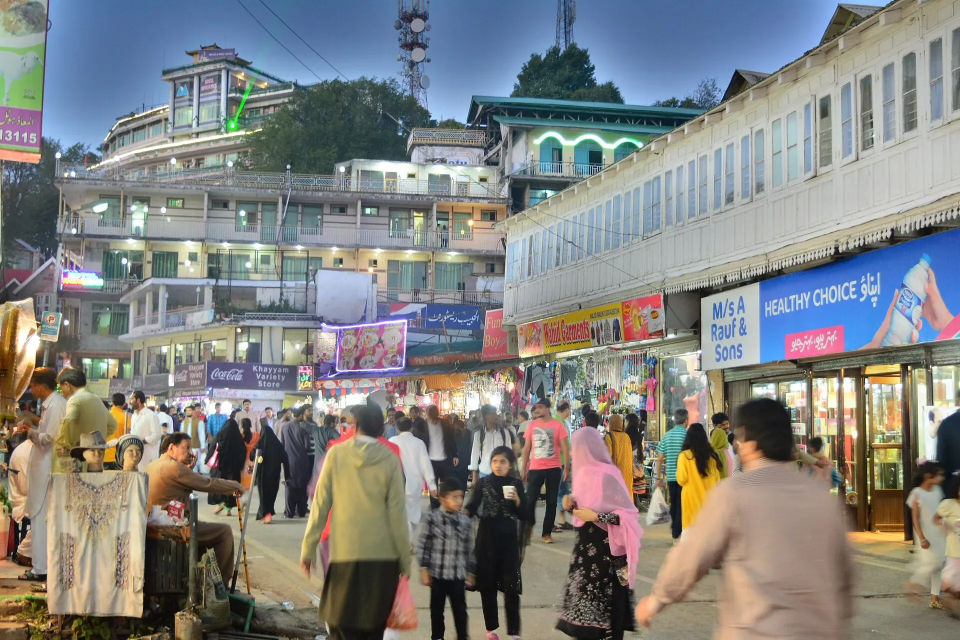
Photo: Moheman7, with thanks · CC BY-SA 4.0 · via Wikimedia Commons · temporary stand-in photo

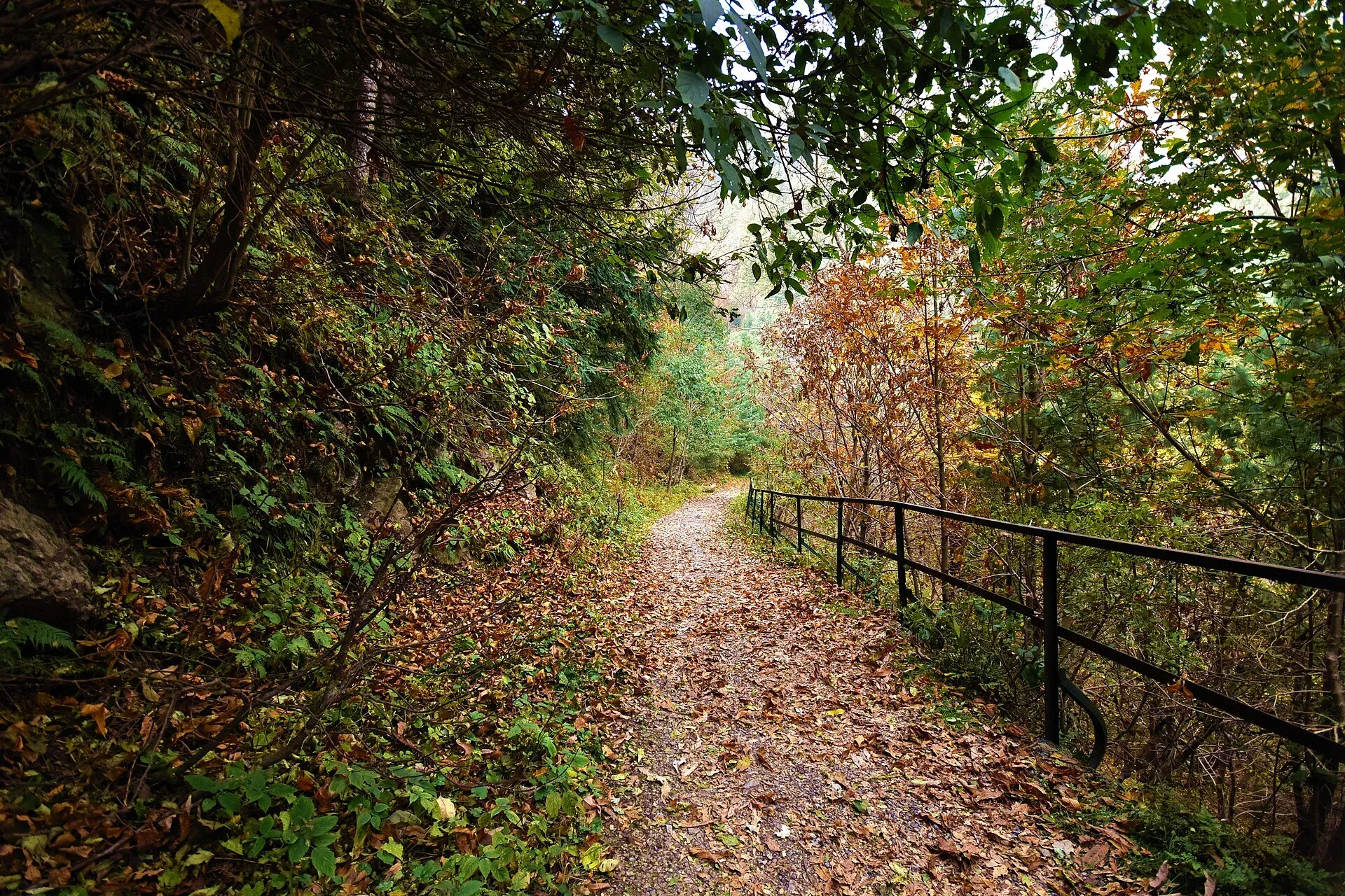
Photo: Kamranki, with thanks · CC BY-SA 4.0 · via Wikimedia Commons · temporary stand-in photo

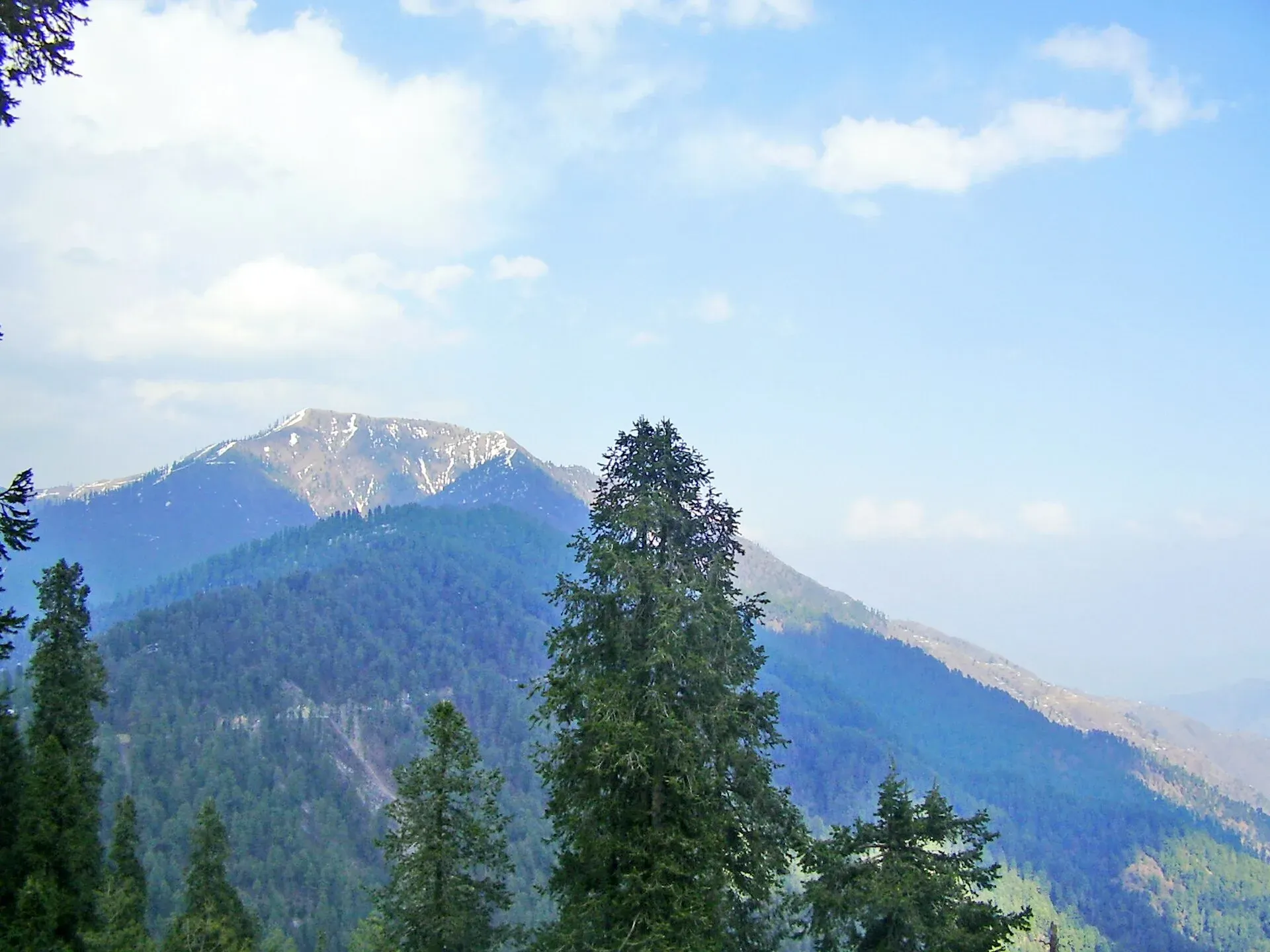
Photo: Khalid Mahmood, with thanks · CC BY-SA 3.0 · via Wikimedia Commons · temporary stand-in photo

Two-day plan
Day one: Islamabad to Murree, then along the ridge to Nathia Gali for the night. Day two: walk part of the Pipeline Track or ride the Ayubia chairlift in the morning, then descend to Abbottabad and return by road or by the M-15 and M-1. The route times above are driving only, so add time for walking and weekend traffic.
Practical information
Fuel is available at Islamabad, Murree, Abbottabad and along the main roads, but stations in Galyat are fewer, so fill up before you leave Murree. Mobile coverage is good in the towns and weaker in the forest. Hotels fill quickly on summer weekends and snow days; book ahead. Entry fees for parks and viewpoints are not confirmed here; there is no known 2026 notice requiring tourist registration in Galyat; current fees will be added soon.
Highlights
- Murree and its Mall
- Galyat ridge through pine forest
- Nathia Gali and Ayubia National Park
- Dunga Gali tea stop
- Abbottabad and the optional Thandiani detour
Stops
- MurreeHill town, busy at weekends
- Dunga GaliTea stop on the ridge
- Nathia GaliQuiet Galyat hill station; Ayubia National Park nearby
- AbbottabadOvernight; optional Thandiani detour (24.6 km)
km: distance from the start along the route.
Numbers follow the stops in order. The map shows the stops, not the road itself.
Day by day
Day 1 · Islamabad to Nathia Gali
Drive up to Murree (55.5 km), walk the Mall and viewpoints, then follow the ridge road to Nathia Gali (33.7 km). Stay the night in Nathia Gali or Murree.
Day 2 · Nathia Gali to Abbottabad and Islamabad
Walk in the forest near Ayubia, then drive down to Abbottabad (31.7 km). If you have time, add Thandiani (24.6 km each way from Abbottabad). Return to Islamabad (106.5 km).
Road conditions
- Surface: paved two-lane mountain roads, narrow in places on the ridge.
- Traffic: very heavy on summer weekends and during snowfall.
- Landslides: common in the monsoon (July to September) between Murree and Galyat.
- Winter: on 10 February 2026 the Abbottabad district administration banned tourist entry into Galyat after snow-related landslides disrupted traffic, with movement restricted from Harno and Barian towards Galyat (ProPakistani, 10 February 2026). The Galyat entry points at Harnu and Bariyan had been reopened on 27-28 January 2026 (Aaj News), before the February ban, and The Express Tribune (28 October 2026) reports thousands of tourists in Nathia Gali, Ayubia, Dunga Gali and Khanspur at the first snowfall with no ban mentioned. There is no known notice saying when the February ban ended. Closures are announced case by case by the Abbottabad district administration and the Galiyat Development Authority; the January notice said the entry points close at night in dense fog and advised chains and first gear on slippery roads.
- Past tragedy: more than 20 people died in stranded vehicles in a snowstorm at Murree in early January 2022 (Wikipedia).
Fuel and services
Fuel, ATMs and pharmacies at Islamabad, Murree and Abbottabad. Fewer fuel stations along the ridge. Hotels and restaurants are plentiful in Murree and Nathia Gali but fill up fast at weekends. Rescue 1122 handles emergencies.
Safety
- Advisory (checked 16 November 2026): the UK FCDO page (updated 27 October 2026) does not list Murree, Abbottabad or Galyat among its restricted areas. It does advise against all travel along the Karakoram Highway between Mansehra and Chilas, which this loop does not use.
- Murree advisory (2 September 2026): the district administration asked visitors to avoid unnecessary travel in rain, drive slowly, stay away from rivers and drains, and keep clear of weak trees. Call Rescue 1122 in an emergency.
- Snow: do not drive up in a snowstorm, and turn back if traffic stops moving. Carry warm clothes, water and a full tank.
Tips
- Go midweek; summer weekends and snow days cause long jams.
- Fill your tank before leaving Murree; Galyat has fewer fuel stations.
- Check the Murree and Abbottabad district advisories if rain or snow is forecast.
- Keep Rescue 1122 in your phone; the Murree administration named it as the emergency contact in September 2026.
- Put on chains or avoid the ridge road if snow is forecast; do not park under leaning trees.
More photos
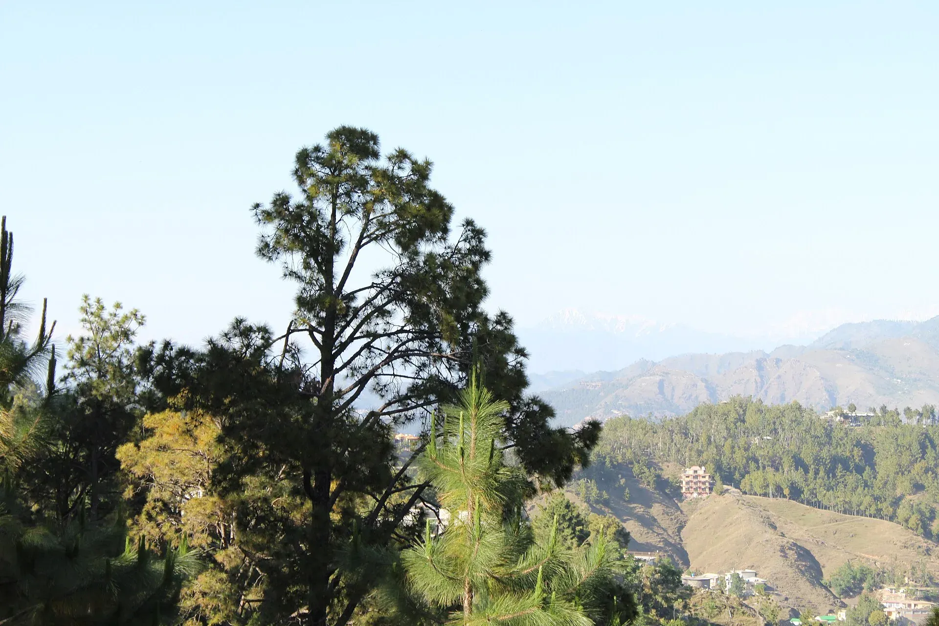
Photo: Malik Sohail Nawaz, with thanks · CC BY-SA 4.0 · via Wikimedia Commons · temporary stand-in photo

Sources and last checked
Last checked Confidence medium11 sources3 still to check
- Last checked
- Method
- Desk research from published sources
- Confidence
- medium
- Checked by
- trek.pk research team
Researched from published sources; not yet checked on the ground by our team. Spot something out of date? Report a mistake.
Sources
- OSRM driving route service: distances and times measured 16 November 2026 (drive times are without stops) · OSRM / OpenStreetMap contributors · checked
- Murree · Wikipedia · checked
- Galyat · Wikipedia · checked
- Entry of tourists banned after landslides in major northern area destination (10 February 2026) · ProPakistani · checked
- Murree administration issues advisory for tourists (2 September 2026) · ProPakistani · checked
- Pakistan travel advice: warnings and insurance (latest update 27 October 2026) · UK Foreign, Commonwealth and Development Office · checked
- Galiyat entry points opened for tourists amid safety advisory (28 January 2026) · Aaj News · checked
- Snowfall lures tourists to Galiyat resorts (28 October 2026) · The Express Tribune · checked
- KP Tourism adviser announces major initiatives for Galiyat (July 2026) · APP · checked
- Ayubia National Park · Wikipedia · checked
- Abbottabad · Wikipedia · checked
Still to be checked on the ground (3)
- Exact date the Galyat tourist-entry ban of 10 February 2026 ended (tourists were visiting by October 2026, but no lifting notice found)
- Current road surface between Murree and Dunga Gali (no source found for this stretch)
- Fuel station availability in Galyat (no source found)
Nearby and related

Ayubia National Park
A cool pine and fir forest park in the Galyat hills above Abbottabad, with the Pipeline Track, a chairlift, leopards and many birds. Established 1984, about 33 square kilometres.

Islamabad
Pakistan's green, planned capital at the foot of the Margalla Hills: Faisal Mosque, hillside trails, cafes and the gateway to the north.