

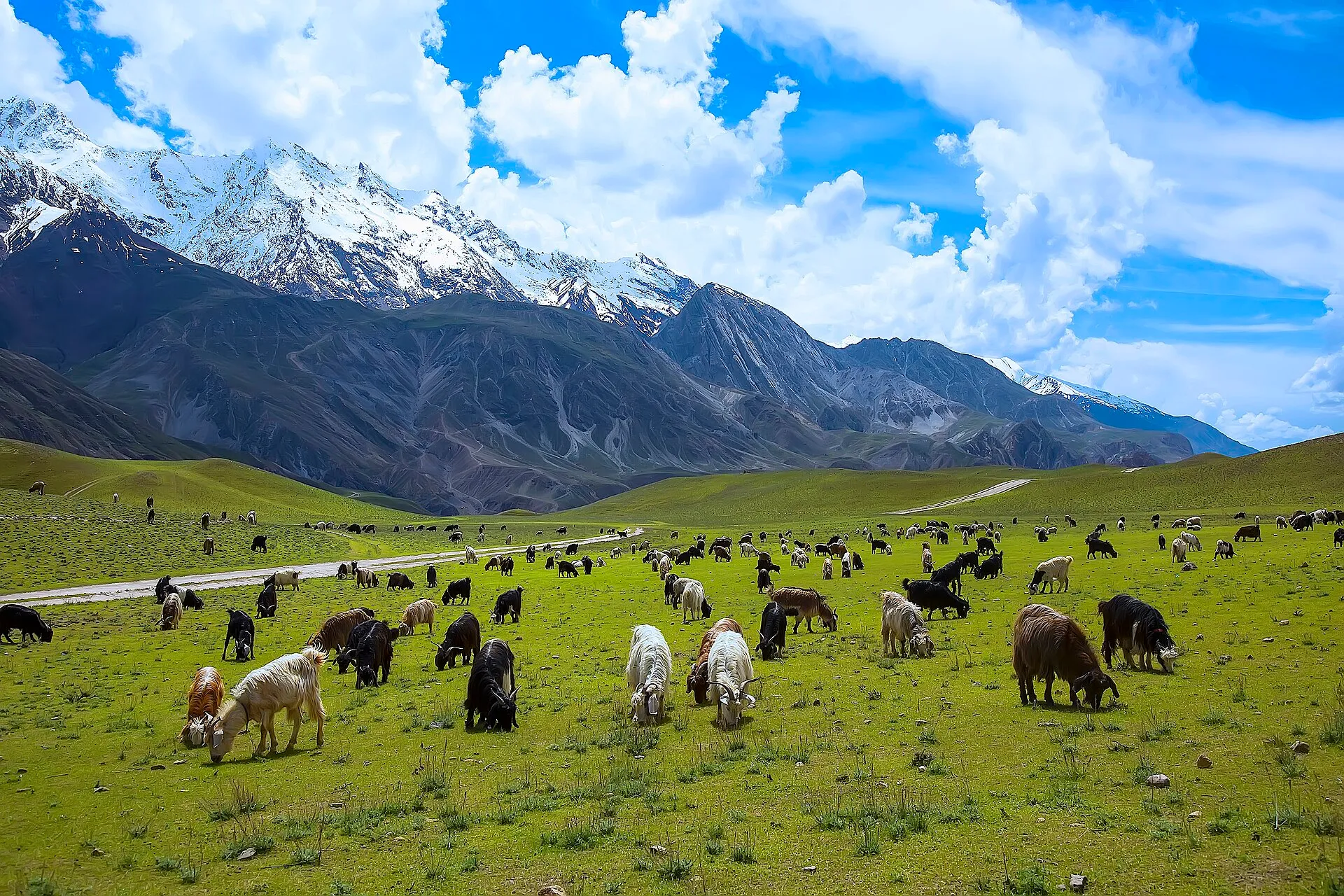
Photo: Tahsin A Shah, with thanks · CC BY-SA 4.0 · via Wikimedia Commons · temporary stand-in photo

Kasavir (Chitral Gol National Park)
- Duration
- 2 days
- Distance
- 7 km
- Grade
- Easy
- Max altitude
- 2,925 m
- Season
- Apr – Oct
An easy overnight walk from Chaghbini down to the old Mehtar's hunting lodge at Kasavir in Chitral Gol National Park, for markhor watching at dusk and dawn.
Overview
Kasavir lies in the heart of Chitral Gol National Park, west of Chitral town. In Kalashamun the name means a sanctuary for hunting. It was the site of the former Mehtar of Chitral's hunting lodge, which is now a ruin. The park was declared a wildlife sanctuary in 1979 and a national park in 1984. It covers about 7,750 ha and is best known for markhor, the spiral-horned wild goat.
An easy overnight trip takes you down from Chaghbini to Kasavir and back, about 7 km in all. The point is to watch markhor at dusk and dawn from a rock outcrop above the lodge.
The park
Wikipedia describes Chitral Gol National Park as lying beside the Chitral River, about two hours by road from Chitral town. Its height range is about 1,450 m to about 5,000 m, and it takes in three valleys and several glaciers. Springs feed a stream about 18 km long that runs east into the Chitral River. The climate is cold and dry. Snow lies on the peaks until June, and rain falls mainly in September on the high peaks and in November on the valleys. Cedar is the best-known tree.
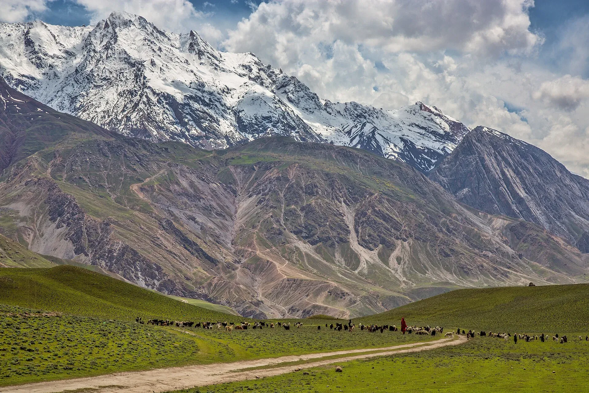
Photo: Shah Tahsin Anwar, with thanks · CC BY-SA 4.0 · via Wikimedia Commons · temporary stand-in photo

Who it suits
Families, first-time trekkers and wildlife watchers. The distances are short. The climb back up from Kasavir is 880 m and can be hot, so we grade the trek easy but not effortless. Bring binoculars. A game watcher from the park can show you the steep short route down.
When to go
April to October is the old guide's season. Markhor are easiest to see on the cliffs in spring and early summer, and in winter snow leopards have been photographed in the park. In December, male markhor come lower down and the rut is an unforgettable sight, but the area is cold then. The valley-floor route to Merin is blocked by high water in June and July.
The route
Chaghbini (2,925 m) takes its name from a huge cedar with a lightning-cut top by the inspection house. From the rest house, traverse west along the ridge on the south-facing side, through cedar, chilghoza pine, oak and holly. At an obvious bend north you have two choices. The steep route drops a spur to Kasavir in about two hours and needs a game watcher. The longer, gentler trail follows Ishperudeh Nala; it is easier to follow and is better for the climb back.
Kasavir (2,195 m) is across the river from the hut. A few minutes above it is Mroi Lodini, the markhor viewing rock. Climb it, look west, and scan the grassy plateau and cliffs at dusk. Adult males are called shahrah, and females and young are called majher.
Return the next morning. Start early, because the 880 m climb is steep and hot in direct sun.
Wildlife
Markhor is the park's best-known animal. Wikipedia reports an estimate of 2,278 animals in 2021, and calls it the largest markhor population in the world. A travel guide lists Siberian ibex, Ladakh urial and Asian black bear in small numbers, along with Tibetan wolf, red fox and yellow-throated marten. Snow leopards are sometimes seen but, that guide says, are not permanent residents. Birds include bearded and Himalayan vultures, golden eagle, peregrine falcon, Himalayan snowcock, Himalayan monal, snow partridge and rock partridge.
Bring binoculars and a warm layer for dusk and dawn. Keep your distance from animals, make little noise at the viewing rock and do not leave food out.
Getting to Chitral
The Lowari Tunnel keeps Chitral reachable by road all year, where the old Lowari Pass used to close from about November to mid-April. A travel guide gives at least eight hours by road from Peshawar and at least twelve from Islamabad. Check road status and the foreign-travel advice quoted below before planning.
Culture and people
The park lies on land that was once the private hunting ground of the Chitral rulers. Reports of markhor numbers vary. A 2021 press report gave 2,868 at the start of 2019 and about 2,000 later, while a local environmentalist claimed fewer than 800, and the Wildlife Department gave no figure. There is no current official count. Until 1983 the park was treated as the private property of the former Mehtar of Chitral, and its legal status has since been disputed between the Mehtar's heirs and the government, according to Wikipedia. The Birmogh Lasht section, which holds the Mehtar's old summer fort, has a wildlife hut and is a short distance from Chitral town. Kasavir itself is uninhabited apart from park staff. Ishperudeh means "white place", for the pale cliffs above.
Practical information
A jeep road runs about 18 km from Chitral to Chaghbini; the road is narrow and can be dangerous in rain. Unless you pre-arrange a special hire, plan to walk down from Chaghbini to Chitral. At Birmogh Lasht (2,580 m), 30 to 45 minutes below, you may find a jeep willing to take you. For overnight stays, take food, water treatment and a warm layer. There is a game watchers' house at Gokhshal, and the old hunting lodge at Kasavir is dilapidated. Check park entry rules at the Wildlife Department office in Chitral. Maps: US AMS 1:253,440 sheet Chitral (I-42 F) and Survey of India 1:63,360 sheets 38 M/9 and 38 M/13.
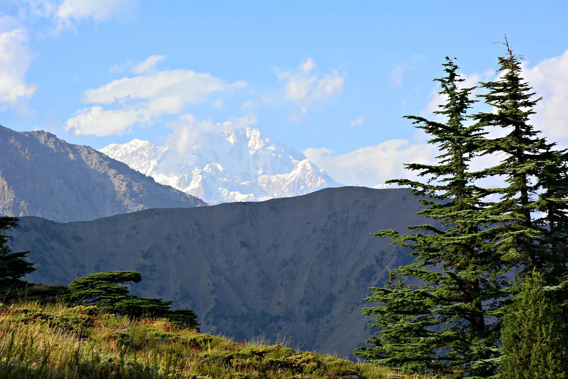
Photo: Skorp.101, with thanks · CC BY-SA 4.0 · via Wikimedia Commons · temporary stand-in photo

Highlights
- Markhor watching from Mroi Lodini at dusk
- Cedar and chilghoza pine forest
- Views of Tirich Mir, Buni Zom and Ghariet from Chaghbini
- Ruined Mehtar's hunting lodge
Day by day
- StartChaghbini
- Day 1Kasavir
- Day 2Chaghbini
| Day | Route | Hours | Distance | Ascent / descent | Camp and altitude |
|---|---|---|---|---|---|
| Day 1 | Chaghbini to Kasavir | 3–4 h | 3.5 km | −880 m | Kasavir, 2,195 m |
Day 1 notesTraverse west from the rest house along the south side of the ridge through conifers. At the bend north, take the gentle Ishperudeh Nala trail, or the steep spur route with a game watcher (about two hours). Ford the Chitral Gol to the lodge. Climb the Mroi Lodini rock for the dusk markhor watch. | |||||
| Day 2 | Kasavir to Chaghbini | 5–6 h | 3.5 km | +880 m | Chaghbini, 2,925 m |
Day 2 notesStart early to avoid direct sun on the steep, hot climb. The Ishperudeh Nala trail is easier to follow and more gradual than the spur. Alternatives: downriver to Merin and the roadhead (about 3 hours, passable only when the river is low), or loop via Gokhshal on a longer trip. | |||||
Getting there
A jeep road runs from Chitral to Chaghbini (about 18 km, roughly two hours on a narrow road). There is no public transport, so hire a vehicle. At the end, walk down to Chitral town unless a jeep is waiting. At Birmogh Lasht (2,580 m), 30 to 45 minutes below Chaghbini, you may find a ride.
Permits and rules
- Permit needed
- Usually not, Open zone
- Fee
- Current fees will be added soon
- Last checked
- 16 November 2026
The old guide listed the trek as open with no trek permit. The area is a national park run by the KP Wildlife Department, so ask there about entry rules and fees (not confirmed, checked 16 November 2026). Foreign visitors need a No Objection Certificate (NOC) for Chitral district. A Senate committee briefing reported on 6 May 2026 that the requirement is still in force, and KP Tourism launched an online NOC system in July 2025 that registered tour operators use. Rules have been relaxed and reinstated before, so confirm the current position with a Chitral tour operator, KP Tourism or the Deputy Commissioner's office in Chitral before you travel (checked 16 November 2026). Pakistani citizens do not need a trek permit, but carry your CNIC.
How trekking permits, NOCs and registration work: Visa and permits.
Season
Best: Apr – Oct
Water and camps
Springs lie along the Chaghbini trail, 15 minutes after the bend, and the Ishperudeh Nala runs year-round. At Kasavir the Chitral Gol gives water, which should be treated. Camp near the lodge. The hut at Chaghbini and the game watchers' house at Gokhshal are the other bases. Fruit trees (apple, walnut) stand in old orchards on the way.
Gear and safety
The Chitral Gol is crossed by fording and can be too high in June and July. Do not try the river route to Merin then. The path along the ridge is exposed in places. Avoid the ridge-top trail towards Gokhshal An, which has a Class 3 rock traverse. Markhor and snow leopard are wild animals: keep your distance and do not leave food out. No phone cover or rescue post; Chitral hospital is about two hours away.
Ask the district administration or local police about current conditions before you go. For foreign visitors: the UK FCDO advises against all travel on the N-45 from north of the Mardan ring road to the edge of Chitral city, including the Kalash valleys (advice updated 27 October 2026, checked 16 November 2026). Most road routes to Chitral use the N-45. Read the live advice before you plan.
Variations
Extend to a three-day loop by visiting Gokhshal first and then Kasavir, going anticlockwise. Day 2 alternative: Kasavir to Gokhshal (2 to 3 hours, 3.3 km, 800 m up and 345 m down). Day 3: Gokhshal to Chaghbini over Gokhshal An (3,720 m), 5 to 6 hours, 5.8 km, with views from the Lowari to Buni Zom. For Merin and Bironshal day hikes in the same park, see Other treks in Chitral.
Tips
- Bring binoculars and a warm layer for the dusk watch.
- Take the Ishperudeh Nala trail uphill; the steep route needs a game watcher.
- Start the return early to avoid the heat on the 880 m climb.
- Ask about water levels before trying the river route to Merin.
Stay and eat in Chitral
Chitral is the nearest town to the trek: somewhere to sleep and stock up before and after.
Places to stay
- Tirch Mir View Hotel ChitralCall Tirch Mir View Hotel ChitralMap of Tirch Mir View Hotel Chitral in Google Maps
- Hindukush HeightsCall Hindukush HeightsMap of Hindukush Heights in Google Maps
- Tower Hotel ChitralCall Tower Hotel ChitralMap of Tower Hotel Chitral in Google Maps
- Legendary Hotel ChitralCall Legendary Hotel ChitralMap of Legendary Hotel Chitral in Google Maps
- Hindukush Sarai ChitralCall Hindukush Sarai ChitralMap of Hindukush Sarai Chitral in Google Maps
- BnB Chitral TownCall BnB Chitral TownMap of BnB Chitral Town in Google Maps
Places to eat
- Diwan Hotel & RestaurantCall Diwan Hotel & RestaurantMap of Diwan Hotel & Restaurant in Google Maps
- Kashmir Bakers and Sweet HouseCall Kashmir Bakers and Sweet HouseMap of Kashmir Bakers and Sweet House in Google Maps
- Chitral Guest House and Zowalo RestaurantCall Chitral Guest House and Zowalo RestaurantMap of Chitral Guest House and Zowalo Restaurant in Google Maps
Essential services fuel stations, mechanics, ATMs, pharmacies and hospitals and clinics
Fuel
- PSO Filling StationMap of PSO Filling Station in Google Maps
- PSO oil fill Station Danin ChitralMap of PSO oil fill Station Danin Chitral in Google Maps
- By Pass Petrol PumpCall By Pass Petrol PumpMap of By Pass Petrol Pump in Google Maps
- Rehman Filling Station Bakrabad ChitralMap of Rehman Filling Station Bakrabad Chitral in Google Maps
- Filling Station BakrabadCall Filling Station BakrabadMap of Filling Station Bakrabad in Google Maps
- Chumurkone Petrol PumpMap of Chumurkone Petrol Pump in Google Maps
Mechanics and tyre shops
- Car Repairing Near Al Khidmat FoundationMap of Car Repairing Near Al Khidmat Foundation in Google Maps
ATMs
- Bank AlfalahMap of Bank Alfalah in Google Maps
- NBP AitemaadCall NBP AitemaadMap of NBP Aitemaad in Google Maps
- Summit BankMap of Summit Bank in Google Maps
- Soneri Bank LtdMap of Soneri Bank Ltd in Google Maps
- JS bankMap of JS bank in Google Maps
Pharmacies
- Alim MedicosCall Alim MedicosMap of Alim Medicos in Google Maps
- Alam MedicoseCall Alam MedicoseMap of Alam Medicose in Google Maps
- Miftah Medicose Ataliq BazarMap of Miftah Medicose Ataliq Bazar in Google Maps
- Rastan PharmacyMap of Rastan Pharmacy in Google Maps
Hospitals and clinics
- District Headquarter HospitalMap of District Headquarter Hospital in Google Maps
- CHILDREN HOSPITALMap of CHILDREN HOSPITAL in Google Maps
- Aga Khan Diagnostic Center, ChitralCall Aga Khan Diagnostic Center, ChitralMap of Aga Khan Diagnostic Center, Chitral in Google Maps
- Chitral Scout HospitalCall Chitral Scout HospitalMap of Chitral Scout Hospital in Google Maps
- Dr.Jan, Endovascular Neurosurgeon, Neurovascular SpecialistMap of Dr.Jan, Endovascular Neurosurgeon, Neurovascular Specialist in Google Maps
- Alkhidmat Diagnostic CenterCall Alkhidmat Diagnostic CenterMap of Alkhidmat Diagnostic Center in Google Maps
Listings come from Google Maps data and are unverified: phone numbers, opening months and prices may have changed. Report a problem · Own one of these? Claim it
Photos we still need: Kasavir lodge, the Mroi Lodini viewing rock, or wild markhor in Chitral Gol (existing photos show the park generally). Send us yours
Health and emergency
Mobile signal is patchy on most treks, so tell someone your plan before you go. Emergency numbers
Sources and last checked
Last checked Confidence medium7 sources6 still to check
- Last checked
- Method
- Desk research from published sources
- Confidence
- medium
- Checked by
- trek.pk research team
Researched from published sources; not yet checked on the ground by our team. Spot something out of date? Report a mistake.
Sources
- Trekking in the Karakoram and Hindukush (Lonely Planet, c. 2002), Chitral chapter · Lonely Planet · checked
- Lesser-known treks of Chitral and the Hindu Raj edge (research notes) · trek.pk research, 2026-11-15 · checked
- Chitral Gol National Park · Wikipedia · checked
- Chitral Gol National Park · Visit Silk Road · checked
- Senate panel flags hurdles to Chitral tourism (6 May 2026) · The Express Tribune · checked
- KP launches online NOC system for foreign tourists (July 2025) · Daily Times / APP · checked
- Markhor population in Chitral drops 35% since 2019 (29 October 2021) · ProPakistani · checked
Still to be checked on the ground (6)
- Park entry fee, rules and whether a game watcher must accompany visitors
- Current condition of the Chitral to Chaghbini jeep road
- Markhor population: 2,868 (start of 2019) and about 2,000 later per a 2021 press report; local claim below 800; no official current count
- State of the Kasavir lodge and Gokhshal game watchers' house
- Current NOC conditions for foreigners (Chitral NOC still required per the 6 May 2026 Senate briefing; scope and issuing office not confirmed officially)
- Park entry rules: Wikipedia says the park's legal status has been disputed between the Mehtar's heirs and the government; current access rules not confirmed
Nearby and related

Other treks in Chitral

Ansoo Lake Trail

Bashigram Lake Trail
Gokhshal An
A pass of about 3,720 m over the Ishperudeh ridge above Chaghbini in Chitral Gol National Park, with views from the Lowari Pass to Buni Zom. First pass of the Gokhshal and Dooni crossing.
Dooni An (Chimirsan An)
A pass of about 3,713 m between Chitral Gol National Park and Rumbur, one of two passes on a three-day crossing into the Kalasha valley. Called Chimirsan An in Rumbur.