

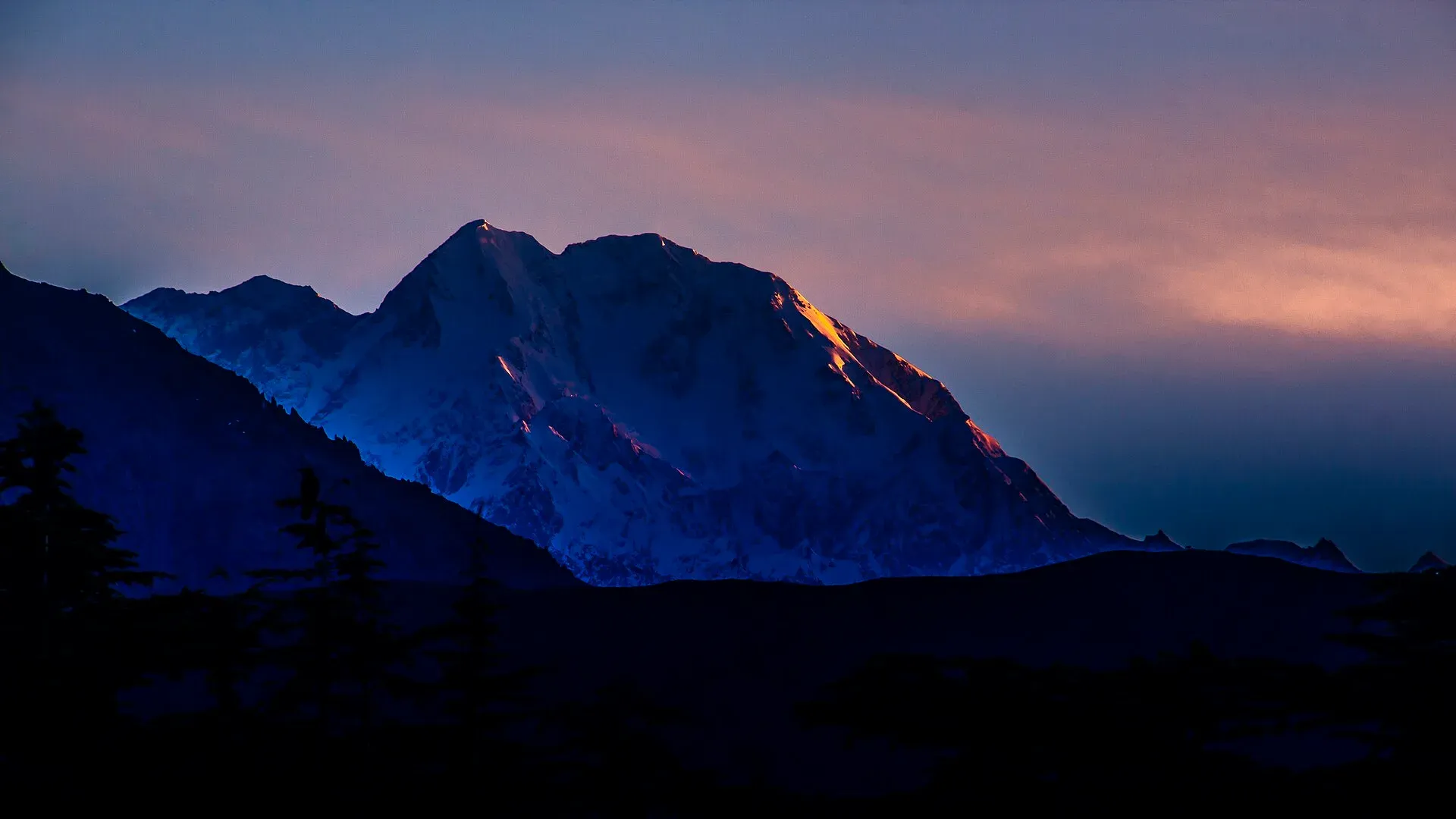
Photo: KaleemUllah550, with thanks · CC BY-SA 4.0 · via Wikimedia Commons · temporary stand-in photo
Hindu Kush
The Hindu Kush stretches about 800 km from Afghanistan into Chitral. Tirich Mir (7,708 m) is its highest peak and the great landmark of northern Pakistan.
Overview
The Hindu Kush is a long mountain system that runs across Afghanistan, north-west Pakistan and a corner of Tajikistan. Its total length is about 800 km (some sources give a larger lateral extent). Only part of it lies in Pakistan, in Chitral district of Khyber Pakhtunkhwa. Its highest point, Tirich Mir (7,708 m), stands above Chitral town.
Peaks
Tirich Mir dominates. Other notable peaks include Noshaq (7,492 m, on the Afghan border), Istor-o-Nal (7,403 m), Saraghrar (about 7,340 m; Wikipedia pages give 7,338 and 7,349 m) and Udren Zom (7,140 m; Wikipedia's list gives 7,108 m). Mountaineers come in summer for Tirich Mir and the neighbouring 7,000 m peaks.
What it is made of
The range began to rise about 55 million years ago, when India collided with Eurasia. The rock is mostly schist, gneiss, marble and granite. The same forces still shake the region, so earthquakes are a real risk.
Climate and landscape
The inner valleys are dry, with sparse desert-like plants and irrigated fields along the rivers. The wider Hindu Kush Himalaya region has warmed by around 0.2 degrees C per decade over the last 50 years, and most of its glaciers have been retreating since the 1970s. These are region-wide figures, not Chitral measurements.
Treks and walks
- Tirich Mir Base Camp is the classic route to the foot of the main peak.
- Owir An, Zani An and Gree An are passes linking Chitral's side valleys.
- Roghili Gol is a shorter valley trek in Chitral.
- The Kalash valleys (Bumburet, Rumbur, Birir) are known for culture and short walks.
Treks in neighbouring Broghil and Karambar belong to the Hindu Raj, covered on its own page.
When to go
June to September suits most high routes. The Lowari Pass road can close in winter, though the tunnel has made year-round road access to Chitral far easier.
Good to know
- The Lowari and Broghil passes cross the range.
- Rules for foreigners in Chitral have changed over the years. Follow the current official guidance.
- Note that some sources place Buni Zom in the Hindu Kush, others in the Hindu Raj.
Geology
Formed by the India-Eurasia collision about 55 million years ago, mainly schist, gneiss, marble and granite. Still rising and prone to earthquakes.
Notable peaks
Sources and last checked
Last checked Confidence medium2 sources4 still to check
- Last checked
- Method
- Desk research from published sources
- Confidence
- medium
- Checked by
- trek.pk research team
Researched from published sources; not yet checked on the ground by our team. Spot something out of date? Report a mistake.
Sources
- Hindu Kush · Wikipedia · checked
- List of mountains in Pakistan · Wikipedia · checked
Still to be checked on the ground (4)
- Length of the Pakistani portion (only the whole-range 800 km is documented)
- Trek season is estimated, not from an official source
- Current NOC rules for Chitral
- Peak heights differ between Wikipedia pages: Saraghrar 7,338 or 7,349 m; Udren Zom 7,140 or 7,108 m


