

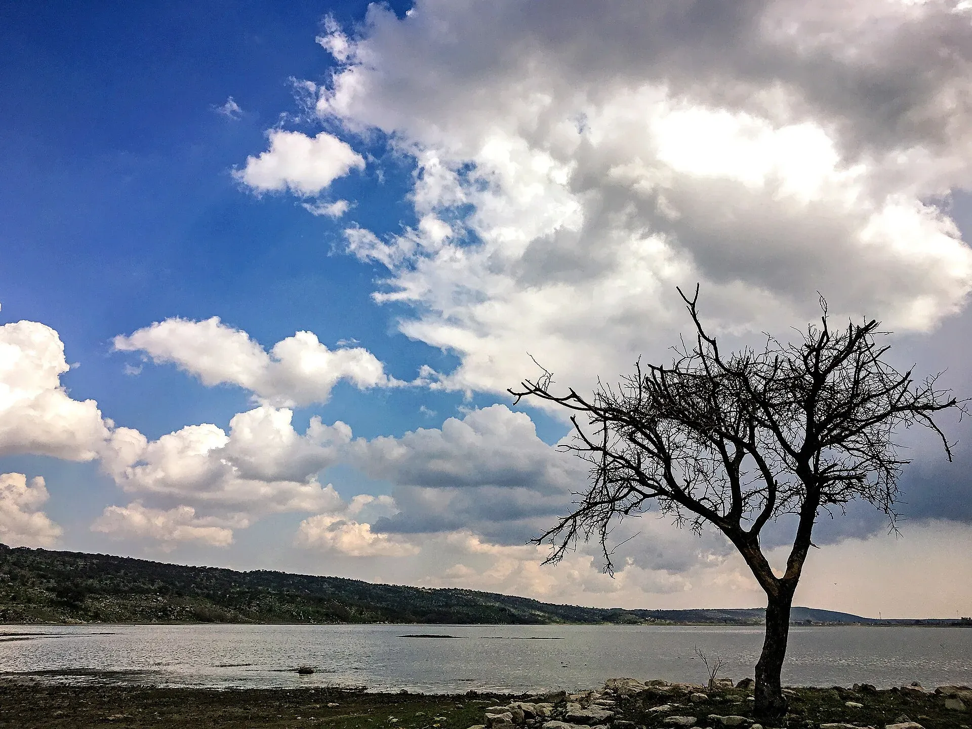
Photo: Muhammad Ashar, with thanks · CC BY-SA 4.0 · via Wikimedia Commons · temporary stand-in photo
Sakesar and Soon Valley Hikes
- Duration
- 1 day
- Grade
- Easy
- Max altitude
- 1,525 m
- Season
- Oct – Apr
Short walks in the Soon Valley, Salt Range: spring hikes near Khabeki and Uchhali, Kanhatti waterfall, and the Sakesar walkway. Sakesar summit (about 1,525 m) is a restricted military area.
Overview
Sakesar, at about 1,525 m, is the highest mountain in the Salt Range. It rises at the outer edge of the Soon Valley in Khushab District, Punjab. Britannica gives 1,522 m (4,992 ft), Wikipedia's Salt Range article 1,522 m and many travel pages 1,525 m. The Soon Valley article on Wikipedia gives 1,530 m, and a figure of 1,552 m on one mirror is not supported by any other source. The differences are a few metres, so this page keeps about 1,525 m.
The valley is about 56 km long and on average 14 km wide, with a floor at about 1,530 m by Wikipedia's account. Naushera is its largest settlement. It has lakes, springs, gardens and waterfalls rather than a single long trail, so this page groups the short walks. Three lakes (Uchhali, Khabeki and Jahlar) make up the Uchhali wetland complex, a Ramsar site.
Who it suits
Families and casual walkers who want easy outings with views and birds. These walks are graded easy because the ones described take 15 to 20 minutes each. None needs special gear. Sakesar is the only mountain in this part of Punjab that gets winter snow, according to Wikipedia, so it can be cold at the top.
When to go
Autumn to spring is the best time, according to a local guide, and bird-watching is best from October, when migratory ducks and flamingos arrive. Summers are hot, and July and August are rainy. Sakesar is cold in winter, so bring warm layers.
Access and bases
From Lahore, Khabeki is about 290 km, roughly 5 to 6 hours by car (Destinations.com.pk). Wikipedia gives 230 km from Islamabad, 120 km from Sargodha and 320 km from Lahore for the valley as a whole. The M2 motorway has two useful exits. Kallar Kahar is the usual entry, and a visitor guide says Khabeki is about 2 hours beyond it. Lilla is the exit for the Khewra salt mines side. A suggested loop enters at Kallar Kahar and leaves at Lilla.
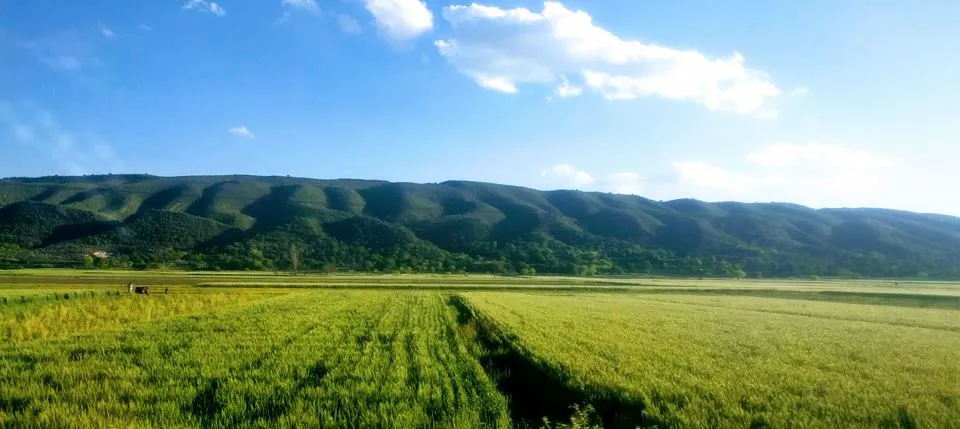
Photo: Arslan lodhi, with thanks · CC BY-SA 4.0 · via Wikimedia Commons · temporary stand-in photo
The road from Nurewala to Naushera was built by the Punjab government to honour Awan service in the First World War, and was opened on 1 April 1928. Commemorative plaques stand along the road between Khushab and Sakesar.
Khabeki Lake, with the TDCP resort, is the better base because it is nearer most sights. Another guide lists the Village Inn at Naushera, between Uchhali and Khabeki, as a base for day trips, and government rest houses at Naushera, Sodhi and Phulwari that need prior permission from the district authorities. Everyday supplies are hard to find in the valley, so bring water, snacks and medicines. The guide advises limiting travel after dark.
The walks
- Sakesar walkway: a path circles the mountain with viewpoints over the valley, in particular over Uchhali Lake. The drive up through dense forest takes about 30 minutes. The summit itself holds a Pakistan Air Force base and a Pakistan Television transmission site, so the top is restricted.
- Sultan Mehdi shrine and springs: a shaded 15 to 20 minute walk down through hills to a shrine and clear springs with small fish, about 26 km from Khabeki.
- Daep Sharif springs: an easy walk of about 20 minutes from the parking place, about 10 km from Uchhali. A series of ponds runs from one to the next, with a grazing ground beyond where cowbells can be heard. Go with a guide.
- Kanhatti Garden and waterfall: a garden laid out in 1933 with fruit trees, a waterfall and a spring, a fenced camping area with basic kitchen facilities, and an easy hill nearby for sunset.
- Jahlar Lake: the least visited of the three lakes, with no boating or fishing. Its water is acidic, so it is not used for swimming.
Lakes and birds
Uchhali Lake is brackish and lies just below Sakesar. A visitor guide says the sun sets behind the mountain as seen from the lake, and boats can be rented. Khabeki Lake is also salt water, about 1 km wide and 2 km long, with a boardwalk and a lakeside viewing platform. Both attract migratory birds from Central Asia, including the rare white-headed duck at Khabeki. A 2001 WWF survey recorded more than 60 bird species and 10 mammal species around Sakesar.
Culture and people
The Awan tribe has lived in the valley for a long time. Folk dance (luddi) is performed at celebrations to dhol drums. Near Amb Shareef village there is a pre-Islamic Hindu temple complex of two brick temples facing each other, dated to the 7th to 9th centuries CE; the larger is about 15 to 20 m tall. The mountain was once a summer base for district officials of Campbellpur (now Attock), Mianwali and Sargodha.
Practical information
- Base: Khabeki Lake and the TDCP resort; book ahead, as space is limited.
- Summit: restricted. A visitor guide says civilians need a reference from an active PAF member.
- Jabba and Katukka reserve forest, listed in a GPS site, were not covered by the sources used.
- Fees: not confirmed; current fees will be added soon.
Highlights
- Sakesar, highest mountain in the Salt Range
- Uchhali Lake below the mountain, with migratory birds
- Short walks to springs: Sultan Mehdi and Daep Sharif
- Kanhatti Garden and waterfall
Day by day
- StartKhabeki Lake / Uchhali Lake area
- Day 1Khabeki Lake (day walks)
| Day | Route | Hours | Distance | Ascent / descent | Camp and altitude |
|---|---|---|---|---|---|
| Day 1 | Soon Valley short walks from Khabeki or Uchhali | 15–20 min per walk | not given | not given | Khabeki Lake (day walks) |
Day 1 notesUse Khabeki or Uchhali as a base. Walk down to the Sultan Mehdi springs (15 to 20 minutes on a shaded path), take the easy path to the Daep Sharif ponds with a guide, and visit the Kanhatti garden and waterfall. Follow the Sakesar walkway for valley views over Uchhali Lake, but keep out of the military summit area. Return to your base by car; a longer stay can spread these over two or three days. | |||||
Getting there
From Lahore, Khabeki is about 290 km, roughly 5 to 6 hours by car; use the M2 motorway and exit at Kallar Kahar or Lilla (Destinations.com.pk). Directions from Islamabad were not given in our source. Sakesar is on the outer fringe of Soon Valley in Khushab District. Uchhali Lake is about 13 km from the mountain and Khabeki about 37 km (Wikipedia).
Permits and rules
- Permit needed
- Usually not, Open zone
- Fee
- Current fees will be added soon
- Last checked
- 16 November 2026
Sakesar summit has a military installation and access is restricted: a Soon Valley guide says civilians need a reference from an active PAF member. Other walks need no permit, as far as is known. Check locally. No fees were confirmed; current fees will be added soon for any facilities.
How trekking permits, NOCs and registration work: Visa and permits.
Season
Best: Oct – Apr
Water and camps
Kanhatti Garden has a natural spring and a fenced camping area with basic kitchen facilities. Khabeki has a TDCP resort that allows camping, with staff help setting up, according to one guide. Carry water for hill walks and bring supplies, as shops are few.
Gear and safety
Restricted area
A military installation stands on Sakesar's summit. Do not photograph or enter restricted areas.
Weather
Sakesar is cold in winter (lows about -4 to -3 C, per Wikipedia) and hot in summer. July and August are rainy.
Guides
The Destinations.com.pk guide advises against hiking to the Daep Sharif springs without a guide.
Variations
Tilla Jogian is another Salt Range hike near Jhelum.
Tips
- Do not try to enter the Sakesar summit area without clearance
- Take a local guide for Daep Sharif springs
- Bring warm layers for Sakesar in winter
- Go in autumn to spring; birds are best from October
Stay and eat in Khushab
Khushab is the nearest town to the trek: somewhere to sleep and stock up before and after.
Places to eat
- Anwar Dhoda House Khushab انور ڈھوڈا ھاوس خوشاب (سنوچڑاں دی ہٹی)Call Anwar Dhoda House Khushab انور ڈھوڈا ھاوس خوشاب (سنوچڑاں دی ہٹی)Map of Anwar Dhoda House Khushab انور ڈھوڈا ھاوس خوشاب (سنوچڑاں دی ہٹی) in Google Maps
- Al Khair koila karahi shah pur city.الخیر کوئلہ کڑاہی شاہ پور شہرMap of Al Khair koila karahi shah pur city.الخیر کوئلہ کڑاہی شاہ پور شہر in Google Maps
- CRAZY BITE TASTE U DESIRECall CRAZY BITE TASTE U DESIREMap of CRAZY BITE TASTE U DESIRE in Google Maps
- FoodmineCall FoodmineMap of Foodmine in Google Maps
- Al Jannat Sweets and BakersCall Al Jannat Sweets and BakersMap of Al Jannat Sweets and Bakers in Google Maps
- Cheese Lab Pizza & Fast FoodCall Cheese Lab Pizza & Fast FoodMap of Cheese Lab Pizza & Fast Food in Google Maps
Essential services fuel stations, ATMs, pharmacies and hospitals and clinics
Fuel
- PSO PetroleumMap of PSO Petroleum in Google Maps
- Sangha Petroleum ServiceCall Sangha Petroleum ServiceMap of Sangha Petroleum Service in Google Maps
- JET PETOL STATIONMap of JET PETOL STATION in Google Maps
ATMs
- HBLCall HBLMap of HBL in Google Maps
- Bank AlhabibCall Bank AlhabibMap of Bank Alhabib in Google Maps
- Habib Bank Limited (Bank Square Branch) KhushabMap of Habib Bank Limited (Bank Square Branch) Khushab in Google Maps
- Bank AlfalahCall Bank AlfalahMap of Bank Alfalah in Google Maps
- Bank Of PunjabMap of Bank Of Punjab in Google Maps
- Albaraka Bank ATMMap of Albaraka Bank ATM in Google Maps
Pharmacies
- Fazal Din Pharma Plus JBDCall Fazal Din Pharma Plus JBDMap of Fazal Din Pharma Plus JBD in Google Maps
- New Arslan Medical store and pharmacyCall New Arslan Medical store and pharmacyMap of New Arslan Medical store and pharmacy in Google Maps
- Meerab Pharmacy KhushabCall Meerab Pharmacy KhushabMap of Meerab Pharmacy Khushab in Google Maps
- Hafiz medicine compnyCall Hafiz medicine compnyMap of Hafiz medicine compny in Google Maps
- Zaheer Sunny PharmacyCall Zaheer Sunny PharmacyMap of Zaheer Sunny Pharmacy in Google Maps
Hospitals and clinics
- Sami UltrasoundCall Sami UltrasoundMap of Sami Ultrasound in Google Maps
- Rahman HospitalCall Rahman HospitalMap of Rahman Hospital in Google Maps
- Raja Sarfaraz Memorial HospitalCall Raja Sarfaraz Memorial HospitalMap of Raja Sarfaraz Memorial Hospital in Google Maps
- Umer ComplexMap of Umer Complex in Google Maps
- Hamza Surgical Maternity HospitalMap of Hamza Surgical Maternity Hospital in Google Maps
Listings come from Google Maps data and are unverified: phone numbers, opening months and prices may have changed. Report a problem · Own one of these? Claim it
Health and emergency
Mobile signal is patchy on most treks, so tell someone your plan before you go. Emergency numbers
Sources and last checked
Last checked Confidence low4 sources8 still to check
- Last checked
- Method
- Desk research from published sources
- Confidence
- low
- Checked by
- trek.pk research team
Researched from published sources; not yet checked on the ground by our team. Spot something out of date? Report a mistake.
Sources
- Sakesar · Wikipedia · checked
- A guide to Soon Valley · Destinations.com.pk · checked
- Salt Range · Encyclopaedia Britannica · checked
- Soon Valley · Wikipedia · checked
Still to be checked on the ground (8)
- Sakesar height: 1,522 m (Britannica, Wikipedia Salt Range) to 1,525 m (most pages); 1,552 m is an outlier. No survey figure
- Entry rule for the summit (only a Soon Valley guide's statement; no official PAF or district notice found)
- Directions from Islamabad (none found)
- Jabba-Katukka forest trail (not verified; no source found)
- Current fees and TDCP resort details (no official source found)
- Distance on the Sakesar walkway (none given in the sources)
- Daep Sharif and Sultan Mehdi: walking times are from one guide only
- Camp altitudes for the Khabeki and Uchhali bases and the Malika Parbat base camp (not given in sources)


