

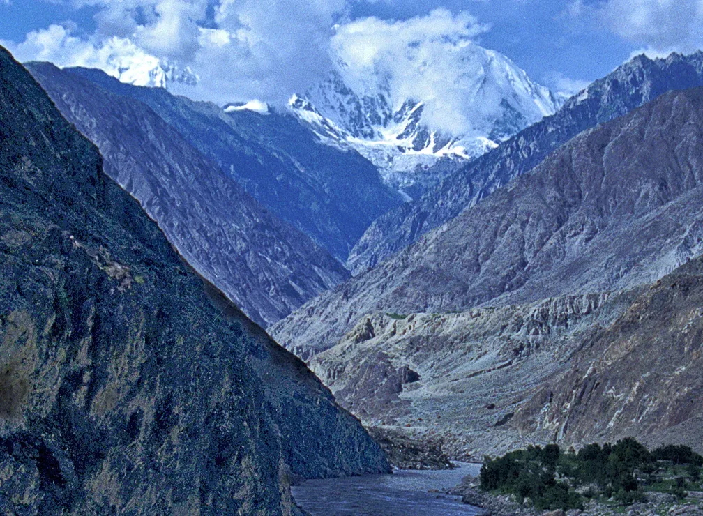
Photo: Heavyrunner, with thanks · CC BY-SA 3.0 · via Wikimedia Commons · temporary stand-in photo
Geography
From the Arabian Sea coast to K2: Pakistan's mountains, the Indus river system, plains, plateaus and deserts, and how they shape travel.
Key facts
- K2 (8,611 m) is the second highest mountain in the world
- The Indus is about 3,180 km long and runs the length of the country
- Five of the world's 14 peaks above 8,000 m stand in Pakistan
- About 1,000 km of Arabian Sea coastline
- Deserts, plateaus, salt hills and mangrove forests
Overview
Pakistan covers about 881,900 square kilometres and spans one of the most varied landscapes of any country. Altitudes run from sea level to 8,611 m at the summit of K2. The geography explains where people live, how seasons work and what kind of journey you can plan. See Geology for how the mountains formed.
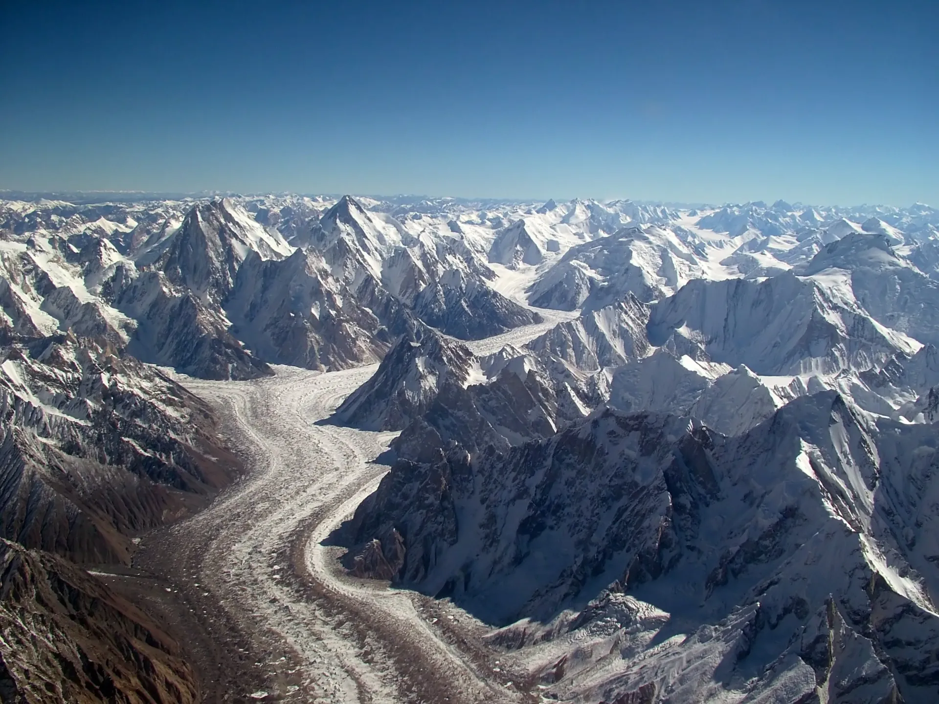
Photo: Guilhem Vellut, with thanks · CC BY-SA 2.0 · via Wikimedia Commons · temporary stand-in photo
The northern mountains
Three of the world's great ranges meet in the north. The Karakoram holds K2 (8,611 m), Broad Peak, Gasherbrum I and II, and glaciers such as Baltoro, Biafo and Hispar. The western Himalaya reaches its edge at Nanga Parbat (8,126 m). The Hindu Kush rises in Chitral, with Tirich Mir (7,708 m). Pakistan has five of the world's fourteen 8,000 m peaks: K2 (8,611 m), Nanga Parbat (8,126 m), Gasherbrum I (8,080 m), Broad Peak (8,051 m) and Gasherbrum II (8,035 m). Four of them, including K2, lie on the border with China. Many more peaks rise above 7,000 m. Thousands of glaciers feed the rivers.
High plateaus sit among the peaks. The Deosai Plains lie at an average of about 4,100 m and bloom in July. Famous passes include Khunjerab (4,693 m) on the Karakoram Highway, the border crossing with China, and Babusar, Shandur and Lowari.
Mountain lakes such as Saiful Muluk and Attabad are fed by snow and glaciers.
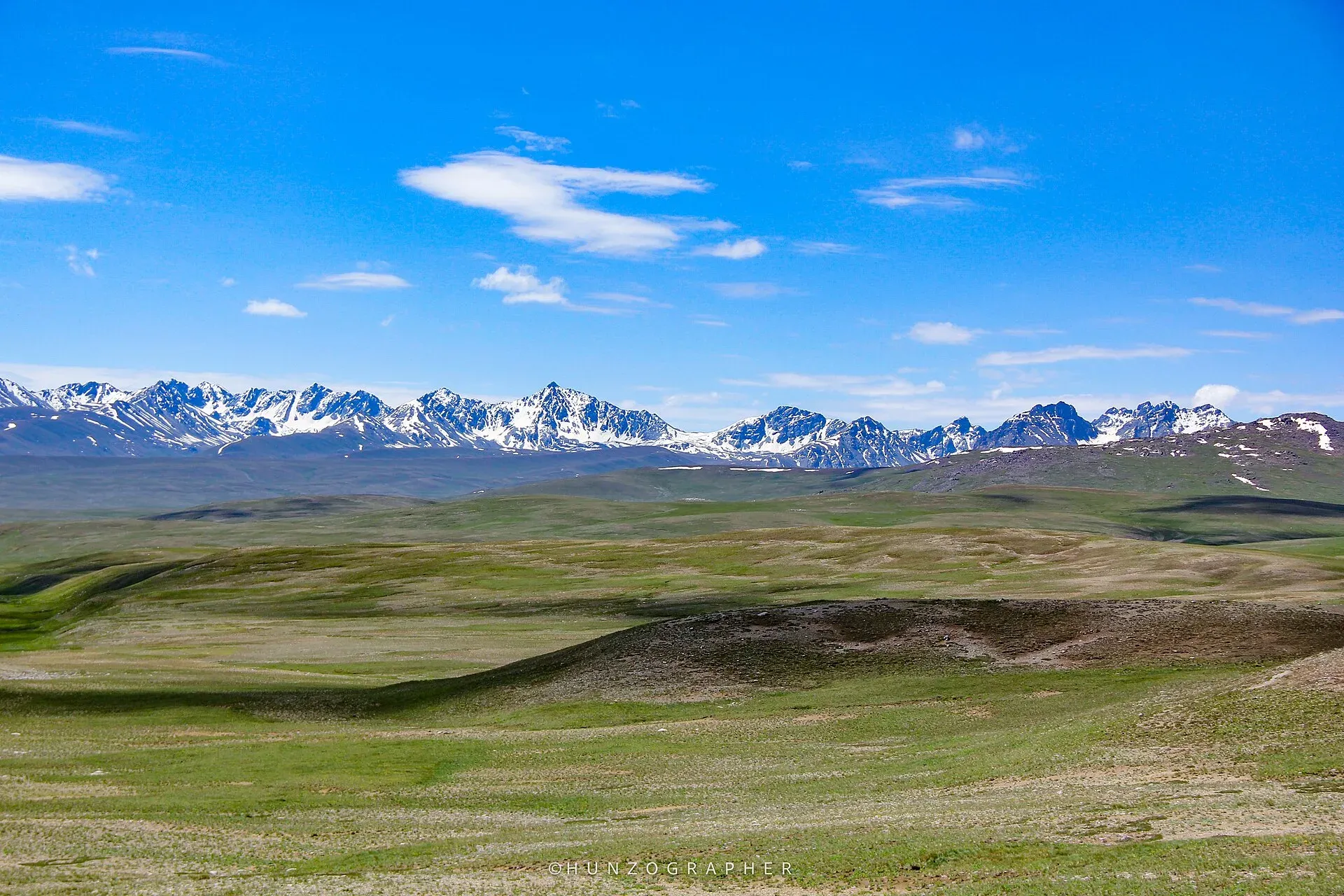
Photo: Hunzagrapher, with thanks · CC BY-SA 4.0 · via Wikimedia Commons · temporary stand-in photo
The Indus system
The Indus rises in Tibet and enters Pakistan in Gilgit-Baltistan. It flows about 3,180 km through the country before reaching the sea near Karachi. Its tributaries are the Kabul, Jhelum, Chenab, Ravi and Sutlej, and the name Punjab means "five waters". The river provides water for the world's largest contiguous irrigation system, supported by the Tarbela and Mangla dams and a network of barrages and canals. Most of Pakistan's farmland and people depend on this system. See Indus River.
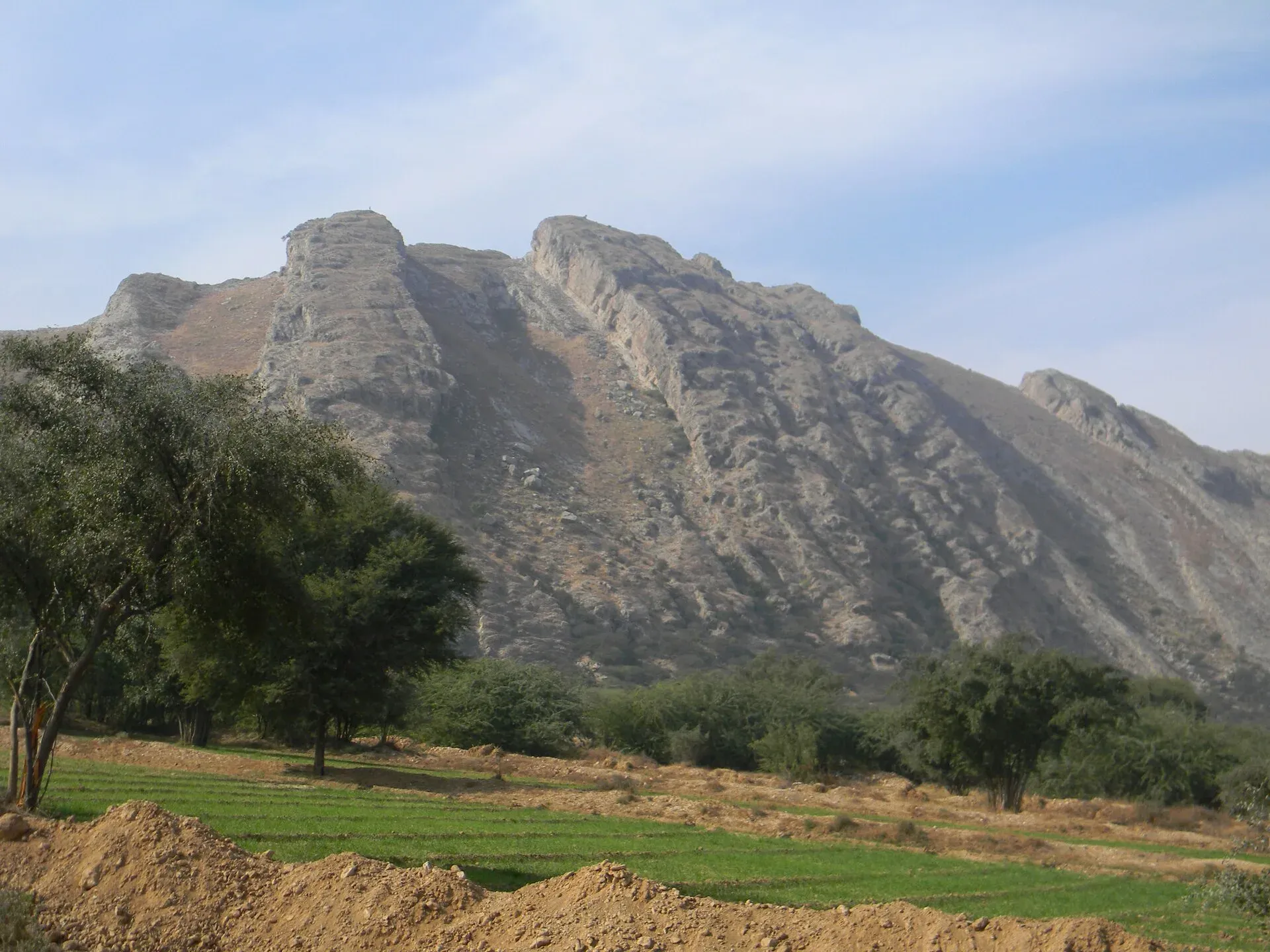
Photo: Khalid Mahmood, with thanks · CC BY-SA 3.0 · via Wikimedia Commons · temporary stand-in photo
The Potohar Plateau and Salt Range
South of the Margalla Hills and Islamabad lies the Potohar Plateau, a rolling land of gullies and old fort sites. The Salt Range rises to the south, with salt mines at Khewra, ancient temples at Katas Raj, lakes and fossil beds.
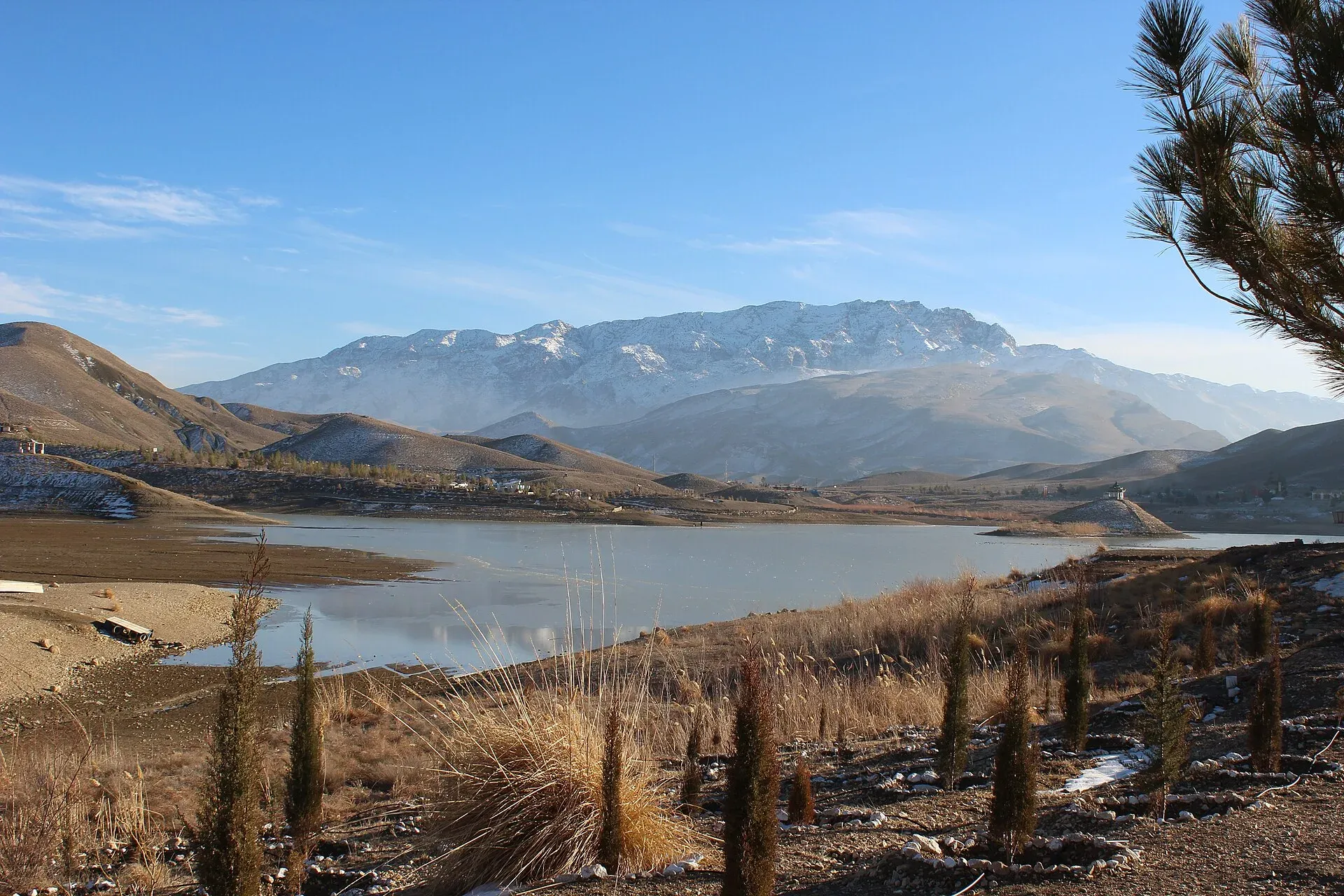
Photo: Aysafaran, with thanks · CC BY-SA 4.0 · via Wikimedia Commons · temporary stand-in photo
The plains
The Punjab plains are flat, fertile and densely populated. Wheat, rice, cotton and sugarcane grow here. South of Punjab, the Sindh plains stretch from the Indus to the Thar desert and coast. Summers are very hot; winters are mild.
The Balochistan plateau and the west
Balochistan is a vast plateau of dry mountains and valleys, with ranges such as the Sulaiman, Kirthar, Toba Kakar and Chagai. The high valleys around Quetta and Ziarat have apple and apricot orchards and juniper forests. The Bolan and Khojak passes link the province with Afghanistan and Iran. Deserts here include the Kharan and Registan.
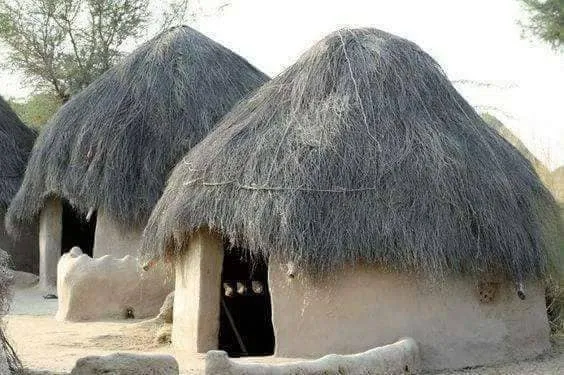
Photo: Shirjeel Imran Malik, with thanks · CC BY-SA 4.0 · via Wikimedia Commons · temporary stand-in photo
The deserts
- Thar: in south-east Sindh, a sandy landscape with Hindu and Muslim communities and wildlife such as chinkara gazelles.
- Cholistan: in southern Punjab, with the Derawar Fort and old river beds.
- Thal: a semi-arid area in central Punjab.
See Thar Desert and Cholistan.
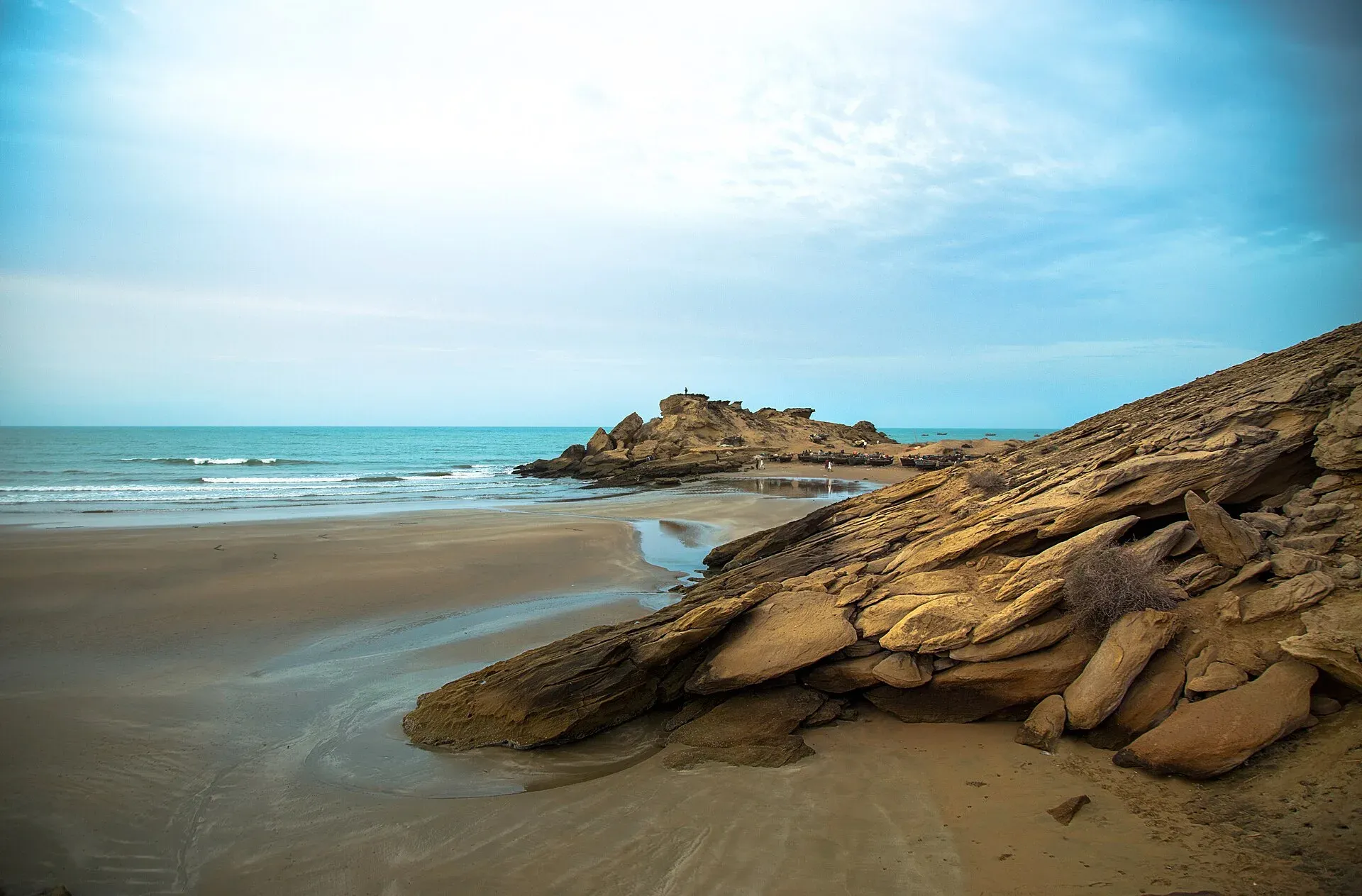
Photo: Balochistan, Pakistan, with thanks · CC BY-SA 4.0 · via Wikimedia Commons · temporary stand-in photo
The coast
Pakistan's coast along the Arabian Sea is about 1,000 km long. East of Karachi, the Indus Delta has creeks and mangrove forests. West of Karachi, the Makran Coast has white beaches, rocky headlands, and unusual rock formations at Kund Malir and Hingol. Green turtles nest on beaches near Karachi.
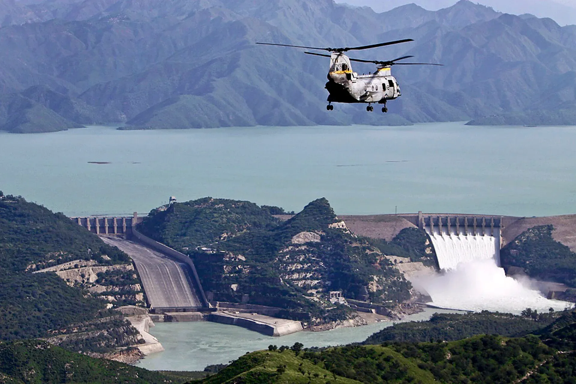
Photo: Paul Duncan, U.S. Marine Corps, with thanks · Public domain (CC0) · via Wikimedia Commons · temporary stand-in photo
Natural hazards
Geography brings risks: floods during the monsoon, landslides on mountain roads, glacial lake outbursts, earthquakes in the north and heat waves in the plains. Check forecasts from the Pakistan Meteorological Department and NDMA before long journeys.
Good to know
- Use the Karakoram Highway for northern journeys, and the motorways for Punjab.
- Distances are long: Karachi to Lahore is about 1,200 km by road.
- Mountain roads may close from late October to April; passes such as Babusar open only in summer.
Sources and last checked
Last checked Confidence high7 sources1 still to check
- Last checked
- Method
- Desk research from published sources
- Confidence
- high
- Checked by
- trek.pk research team
Researched from published sources; not yet checked on the ground by our team. Spot something out of date? Report a mistake.
Sources
- Indus River · Wikipedia · checked
- List of highest mountains on Earth · Wikipedia · checked
- K2 · Wikipedia · checked
- Pakistan · Wikipedia · checked
- Deosai National Park · Wikipedia · checked
- Khunjerab Pass · Wikipedia · checked
- OSRM driving route, Karachi to Lahore · OpenStreetMap / OSRM · checked
Still to be checked on the ground (1)
- Peak heights are the standard published values; surveys differ by a few metres


