

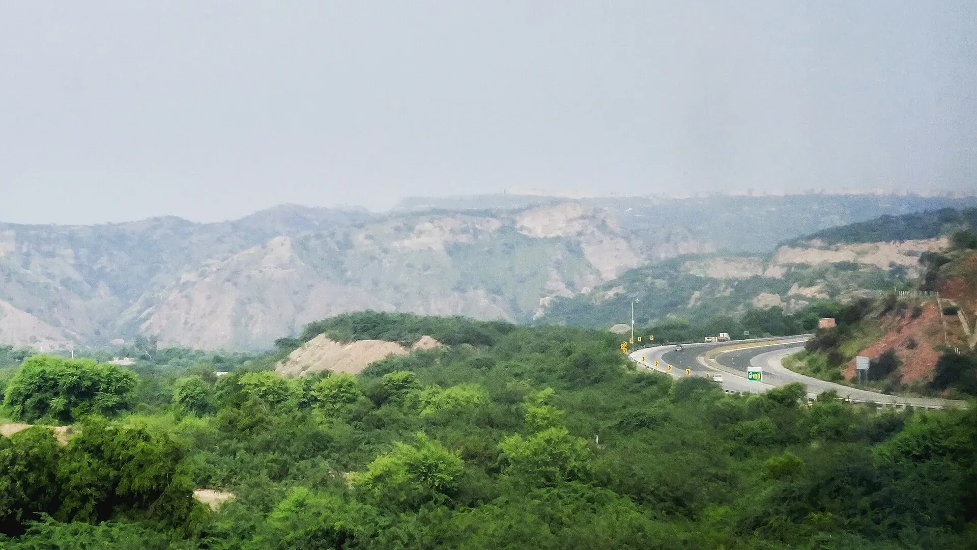
Photo: Akash0078, with thanks · CC BY-SA 4.0 · via Wikimedia Commons · temporary stand-in photo
Geology
How the collision of India and Asia built Pakistan's mountains, why the Salt Range holds an ancient rock record, where gemstones come from, and how earthquakes and landslides shape travel.
Key facts
- Pakistan lies where the Indian and Eurasian plates meet
- The Karakoram, Himalaya and Hindu Kush meet near Gilgit
- Salt Range rocks hold marine fossils up to about 570 million years old
- Gemstones include emerald, aquamarine, topaz, ruby and peridot
- Large earthquakes in 1935 and 2005 are part of the region's history
Overview
Pakistan sits on one of the most active meeting points on Earth. Sindh and Punjab rest on the Indian plate, while western Balochistan and parts of Khyber Pakhtunkhwa lie on the Eurasian plate. The two plates have been pressing together for tens of millions of years, and the result is the scenery you travel through: the Karakoram, the Himalaya, the Hindu Kush, the dry fold mountains of Balochistan and the rolling Pothohar plateau.
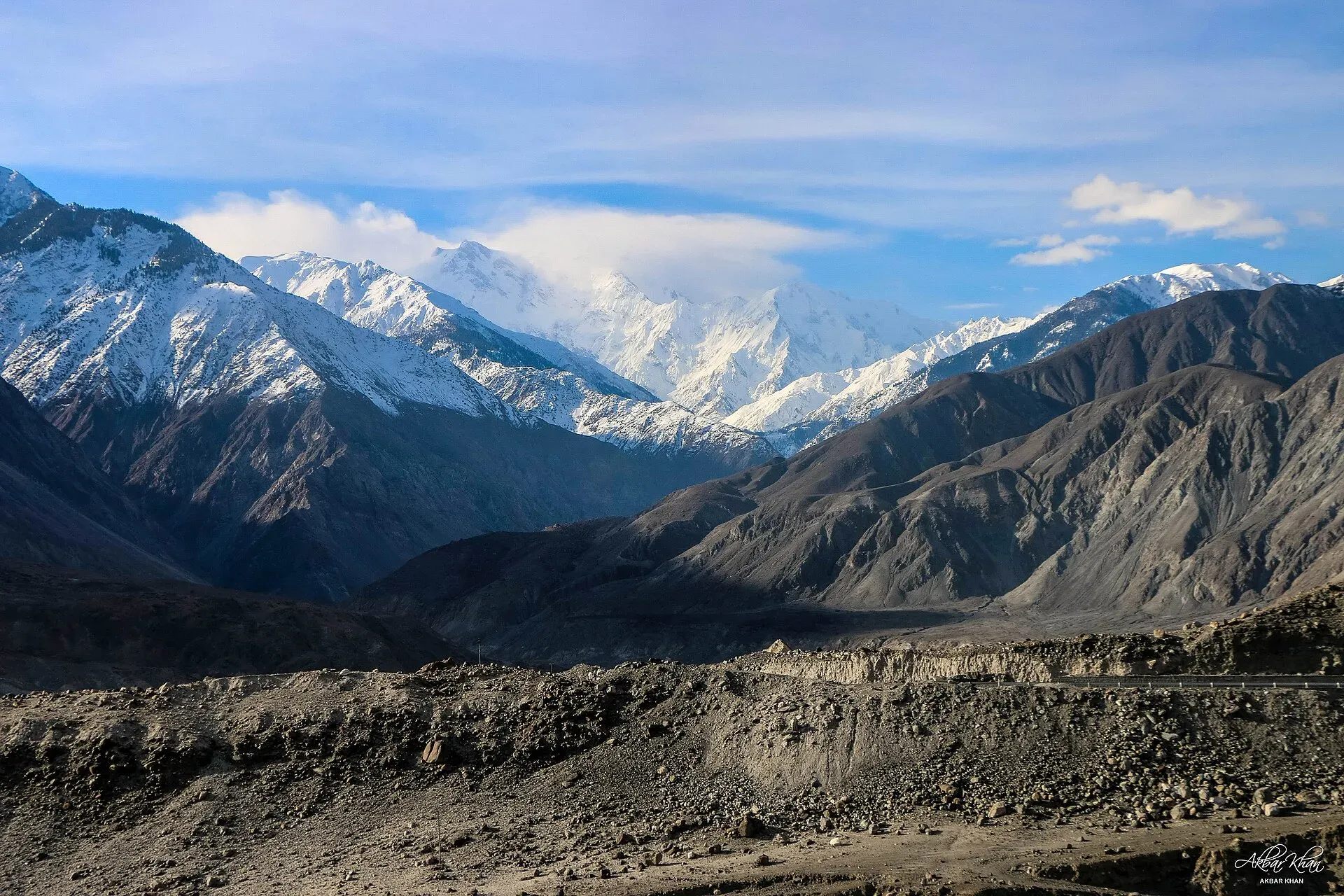
Photo: Akbar Khan Niazi, with thanks · CC BY-SA 4.0 · via Wikimedia Commons · temporary stand-in photo
How the mountains were built
The Indian plate once raced north across an ocean. Sources date its collision with Eurasia to about 55 million years ago, although some researchers put the final closing of the ocean later, around 35 million years ago. Today the plate still moves north-east at a few centimetres a year (sources give figures from about 3 to 5 cm). Rock that was once sea floor has been crumpled, stacked and lifted into peaks above 8,000 m. The Karakoram lies right on this plate boundary, and the Hindu Kush came from the same collision.
Between India and Asia sat a chain of volcanic islands, now called the Kohistan-Ladakh arc. Geologists describe it as a Cretaceous island arc that was squeezed between the two continents. Its remains now sit in Kohistan and across the Indus valley, bounded to the north by the Shyok suture and to the south by the Indus suture, and the Karakoram Highway crosses this belt. Scientists still debate whether the arc hit India or Asia first.
The collision has not stopped. Pakistan has five of the world's fourteen peaks above 8,000 m and 108 peaks above 7,000 m, and the mountains keep rising while rivers and glaciers wear them down. This is why valleys in the north are so deep and why the Indus cuts through such steep gorges near Nanga Parbat.
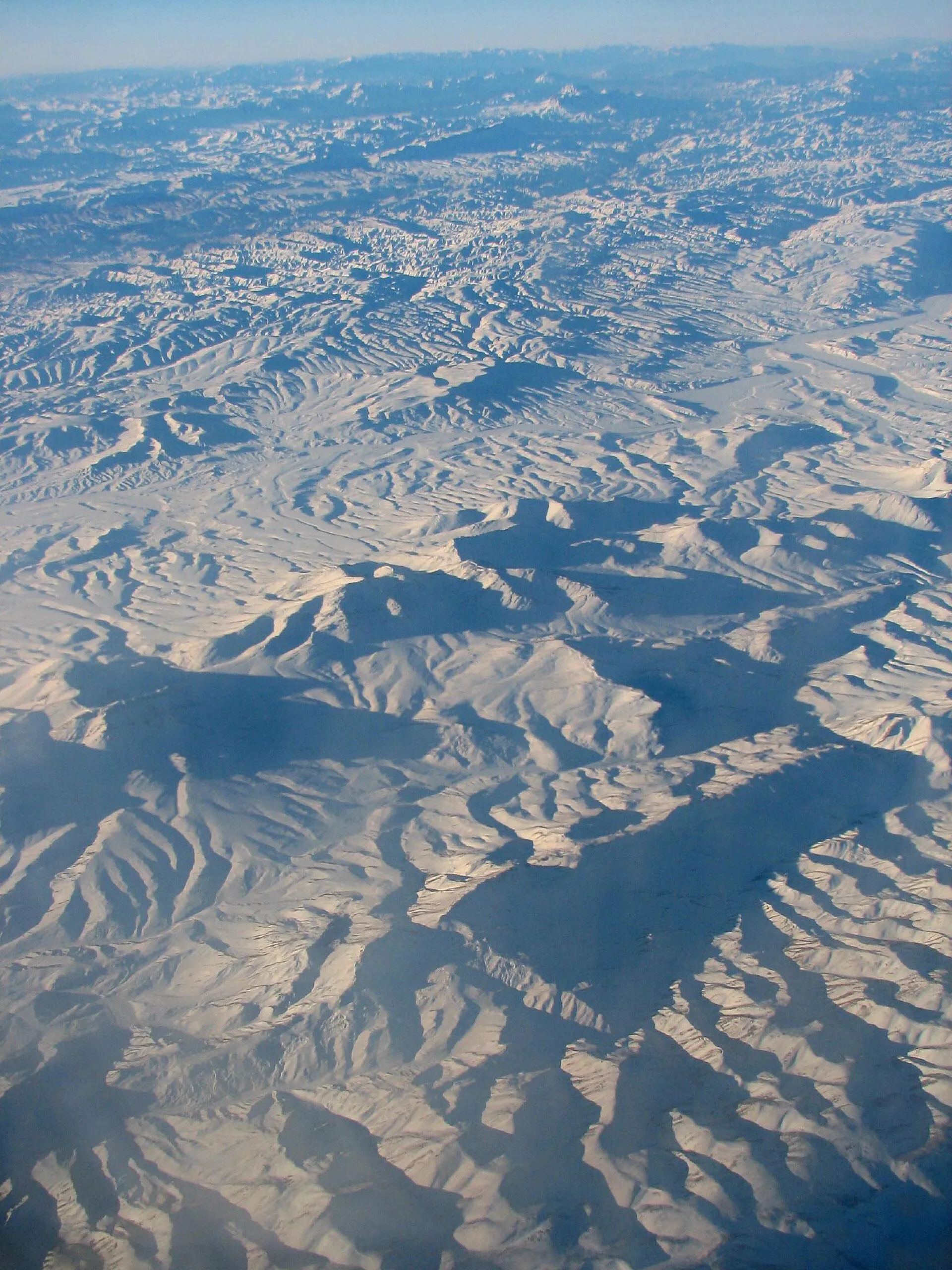
Photo: michael clarke stuff, with thanks · CC BY-SA 2.0 · via Wikimedia Commons · temporary stand-in photo
Fold mountains of the west
Further west the collision pushed up long, dry ridges. The Sulaiman Mountains on the Balochistan, Khyber Pakhtunkhwa and Punjab border are a fold and thrust belt that began forming about 30 million years ago. The Kirthar range and the Makran Coastal Range, made mainly of limestone and sandstone, belong to the same story. These ranges formed when the north-west edge of the Indian plate met Asia.
The Salt Range: a field guide in rock
South of the Pothohar plateau, the Salt Range rises to 1,522 m at Sakesar. It is low because a very old layer of salt, dated to the Eocambrian, acts like grease under the rocks and lets them slide forward instead of piling up high. The range exposes a long sequence of sea-floor rock containing marine fossils that reach back to the Ediacaran period, up to about 570 million years ago. Geologists from many countries have studied it for more than a century.
At Khewra, the salt is mined and open to visitors. Published sources describe the mine as the second largest salt mine in the world, with about 40 km of tunnels, taking around 250,000 visitors a year. These figures date from guidebooks and mine-operator pages published between 1998 and 2012, so treat them as approximate. A legend says the salt was found when horses of Alexander the Great's army licked the stones. Treat that as a story, not recorded history. Inside you can see a mosque made of salt bricks.
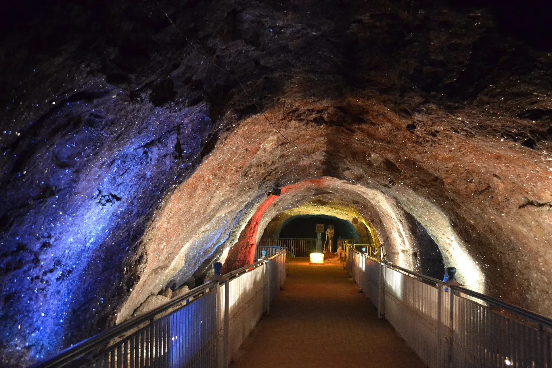
Photo: Shikari7, with thanks · CC BY-SA 3.0 · via Wikimedia Commons · temporary stand-in photo
Gemstones
The same forces that built the mountains made gem crystals in the rock. Published lists of Pakistani gem sources name:
- Emerald: the Swat area, in Khyber Pakhtunkhwa.
- Aquamarine: Shigar and the Braldu valley in Baltistan, and other sites in Gilgit-Baltistan.
- Topaz: Katlang in Mardan District, known for pink and purple-lavender crystals; golden and white topaz in the Gilgit and Shigar areas.
- Ruby: Hunza, with pink to red crystals, and the Neelum valley.
- Peridot: Kohistan, around Soppat, where lime-green crystals form in rocks of the old island arc.
Quality varies a great deal, so buy only from established shops and ask for a receipt.
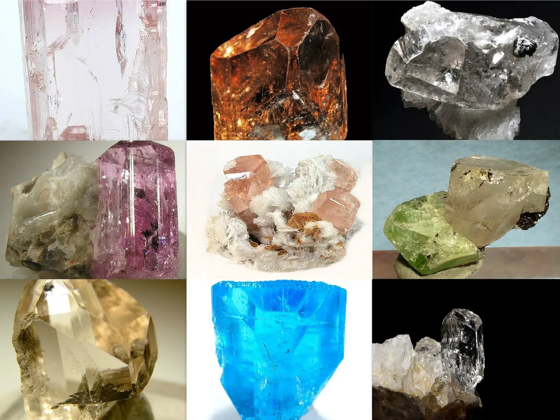
Photo: Robert M. Lavinsky, with thanks · CC BY-SA 3.0 · via Wikimedia Commons · temporary stand-in photo
Earthquakes and landslides
A land still being squeezed shakes. The 1935 Quetta earthquake (magnitude 7.7) is estimated to have killed 30,000 to 60,000 people. The 8 October 2005 earthquake (magnitude 7.6) struck near Muzaffarabad in Azad Kashmir, and a government count in November 2005 gave 87,350 deaths in Pakistan. The 1997 Harnai earthquake in the Sulaiman belt was magnitude 7.1.
In the mountains, steep slopes and heavy rain or snowmelt also bring landslides. On 4 January 2010 a landslide dammed the Hunza River and created Attabad Lake, which cut about 26 km of the Karakoram Highway. Landslides often close roads in the monsoon, so build spare days into any trip in July and August.
Photo: Mabdullah, with thanks · CC BY-SA 3.0 · via Wikimedia Commons · temporary stand-in photo
What to see and do
- Drive the Kohistan section of the Karakoram Highway, which crosses the old island-arc belt.
- Visit the Khewra Salt Mine from Islamabad or Lahore as a day trip by the M-2 motorway.
- Stand at the Jaglot junction near Gilgit, where the Karakoram, Himalaya and Hindu Kush meet.
- Trek to Rupal or Fairy Meadows to see the great faces of Nanga Parbat.
Staying safe
Check road and weather status before you set out, avoid camping below steep slopes and loose stones, and follow local advice after heavy rain. In an earthquake, drop, cover and hold on, and move to open ground when shaking stops.
Sources and last checked
Last checked Confidence medium15 sources2 still to check
- Last checked
- Method
- Desk research from published sources
- Confidence
- medium
- Checked by
- trek.pk research team
Researched from published sources; not yet checked on the ground by our team. Spot something out of date? Report a mistake.
Sources
- Indian Plate · Wikipedia · checked
- Geology of Pakistan · Wikipedia · checked
- Hindu Kush · Wikipedia · checked
- Karakoram · Wikipedia · checked
- List of mountains in Pakistan · Wikipedia · checked
- Sulaiman Mountains · Wikipedia · checked
- Makran Coastal Range · Wikipedia · checked
- Salt Range · Wikipedia · checked
- Khewra Salt Mine · Wikipedia · checked
- Gemstones of Pakistan · Wikipedia · checked
- 1935 Quetta earthquake · Wikipedia · checked
- 2005 Kashmir earthquake · Wikipedia · checked
- Juglot · Wikipedia · checked
- Hunza Valley (Attabad landslide, 2010) · Wikipedia · checked
- Tectonic evolution of the Kohistan-Karakoram collision belt (and related papers on timing of arc collision) · University of Oxford research archive · checked
Still to be checked on the ground (2)
- Khewra mine dimensions and visitor numbers come from 1998-2012 guidebook and operator sources; confirm with the operator (PMDC)
- Gem source lists are from published references (Gilgit-Baltistan tourism department, Pala International); confirm with local gem dealers


