

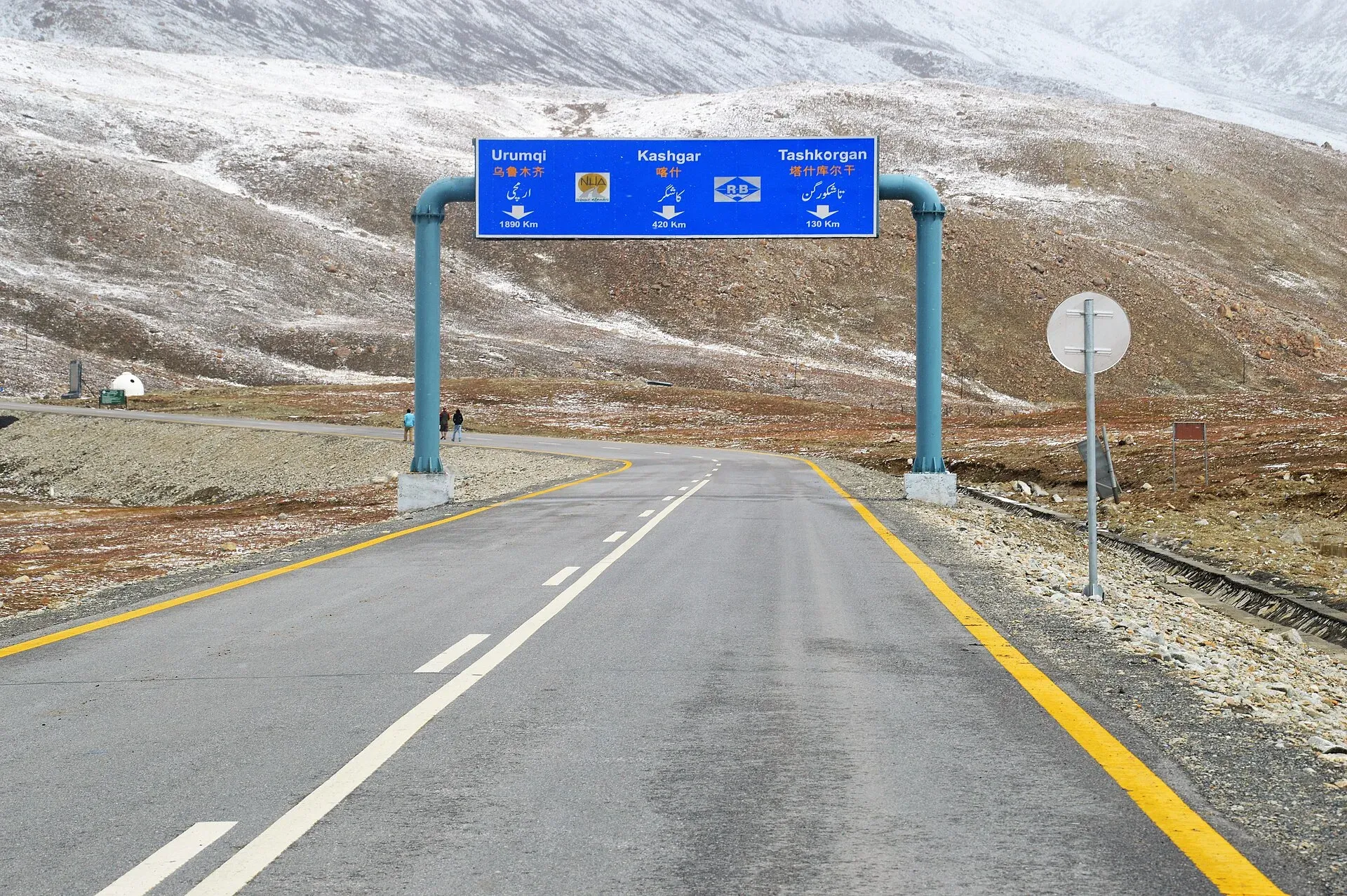
Photo: Muneeb Qazi, with thanks · CC BY-SA 4.0 · via Wikimedia Commons · temporary stand-in photo
Mountain passes of Pakistan
A list of 126 named mountain passes in Pakistan, from road passes like Babusar and Khunjerab to glacier passes like Gondogoro La and Hispar La, with heights, what they connect and where trek.pk covers them.
Key facts
- 126 named passes grouped by range, highest first
- Road, trekking and glacier passes kept apart
- Where our pages give different heights, the range is shown
- Border and restricted-zone passes marked for permits
Overview
Pakistan has three kinds of mountain pass. Road passes such as Babusar, Lowari, Shandur and Khunjerab carry vehicles, and some are closed by snow for months. Trekking passes are crossed on foot between valleys, usually in July to September. Glacier or technical passes such as Gondogoro La, Hispar La, Mazeno La and Chilinji An cross ice and need rope, a guide and a permit.
Names depend on the language of the area. An is the word used in the names of passes in Chitral, Ghizer, Hunza and Shimshal. La is used in Baltistan and Deosai, and Kotal on the western border, as in Peiwar Kotal. Gali appears in names such as Rakhan Gali, which is a trekking pass; most other places called Gali are hill resorts, not passes. Many passes have two names, one on each side, and our pages list them as one pass.
This list covers every pass named in trek.pk's own treks, places and routes. Heights come from our pages and often differ between pages, so we show the range where they do. A height marked "not stated" is not given on any of our pages. Wikipedia's List of mountain passes in Pakistan lists only some of them.
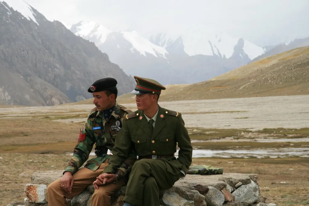
Photo: Anthony Maw, Vancouver, Canada, with thanks · CC BY-SA 3.0 · via Wikimedia Commons · temporary stand-in photo
Permits and safety
Passes near the Chinese, Afghan or Line of Control borders, and treks in restricted zones, need permits or are closed to visitors. Read Visa and permits and the road and weather status page before you plan. For the high passes, read altitude sickness, glacier travel basics and hiring guides and porters fairly, and see health and emergency. The UK FCDO advises against travel to parts of Khyber Pakhtunkhwa and Balochistan, which affects the road passes there.
Each section lists passes from highest to lowest. Passes with no stated height come last. Where a pass has its own trek.pk page, it is linked first; otherwise the link goes to the roundup page that mentions it.
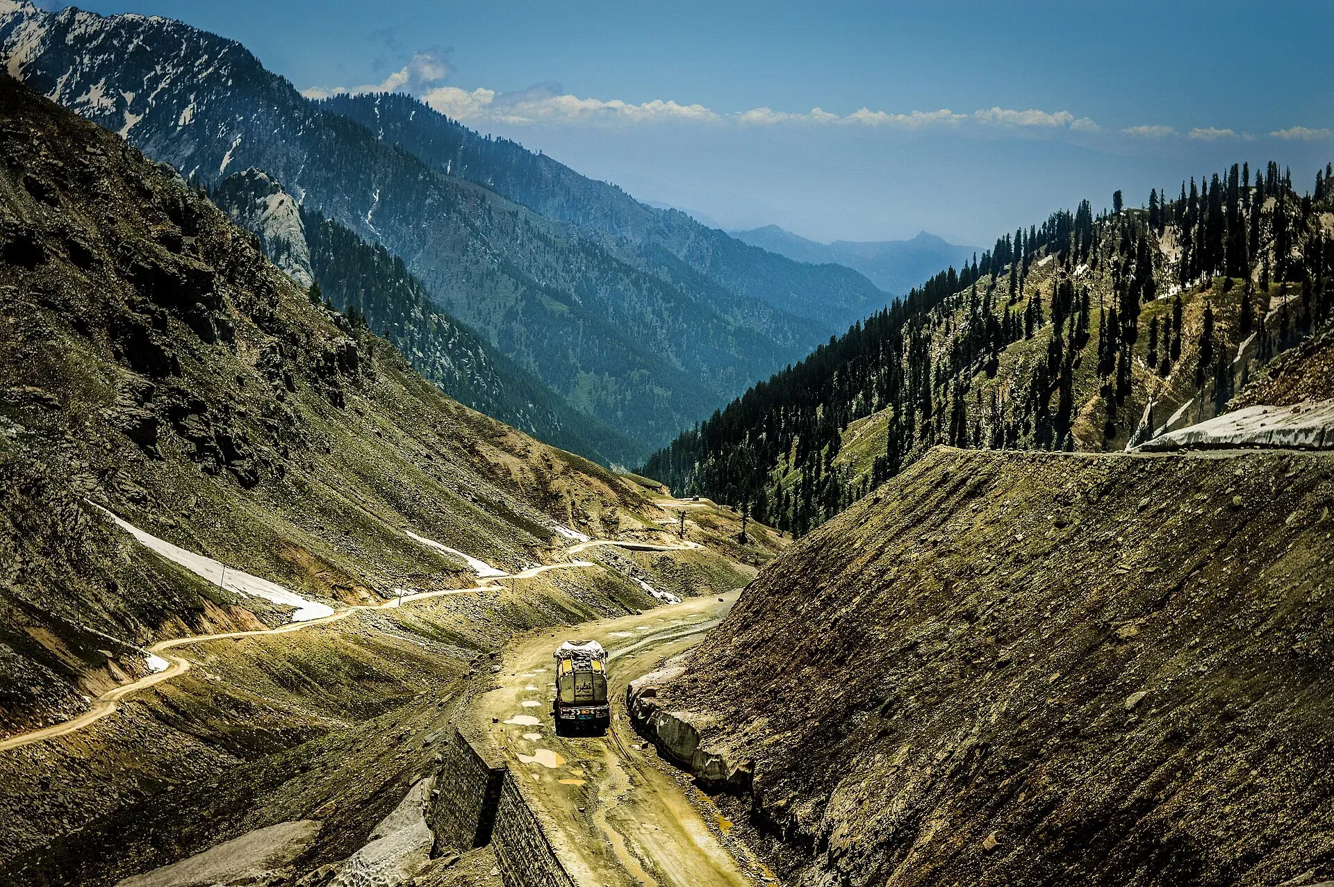
Photo: Msanamsaeed, with thanks · CC BY-SA 3.0 · via Wikimedia Commons · temporary stand-in photo
Hindu Kush and Hindu Raj
Chitral, Ghizer, Yasin, Ishkoman, Naltar, Swat and Dir. 45 passes.
- Nizhdaru An - 5,087 m - Sor Rich (Rich Gol) - Bang (Yarkhun valley) - Technical trek; small glacier, fixed rope or step-cutting, ice axe and crampons - Other treks in Chitral
- Dadarelli An - 5,030 m - Handrap valley (Ghizer) - Machiangaas, Ushu Gol (Kalam, Swat) - Trek, rarely crossed; small glacier, rope and ice axe advised - Permit/access: Swat side: FCDO advises against travel; ask locally about Ushu security - Other treks in Ghizar
- Naz Bar An - about 4,980 m (one operator: about 5,000 m) - Naz Bar valley (Yasin) - Bahushtaro Gol (Ghizar) - Strenuous trek, unglaciated, short Class 2 scramble, permanent cornice - Naz Bar An trek, Zagaro An trek
- Phargam An - 4,975 m (other pages: 4,700 m and 5,056 m) - Golen Gol (Istor) - Laspur valley - Strenuous trek; Class 2 scrambling over granite talus, guide needed - Phargam An trek
- Bashkaro An (Bashkaro Pass, Bashkaro Top, Kukush Pass, Bashkarn An) - about 4,924 m - Ushu valley (Kalam, Swat) - Khokush valley (upper Ghizer) - Glacier pass, rarely crossed; rope, ice axe and local guide - Permit/access: Permits not confirmed; Swat side: FCDO advises against travel - Bashkaro Pass, Other treks in Ghizar
- Zagaro An (Zagar An) - about 4,920 m (Apricot Tours: 5,000 m) - Bahushtaro Gol (Ghizer) - Yarkhun valley (Chapali, Chitral) - Strenuous trek, unglaciated Class 2 pass on the Gilgit-Baltistan / Khyber Pakhtunkhwa boundary - Permit/access: Chitral NOC reported as required - Zagaro An trek, Naz Bar An trek
- Kachakani An - about 4,766 m - Mahodand / Ushu valley (Swat) - Bashqar Gol, Sor Laspur (Chitral) - Strenuous glacier-pass trek; snow slope, glacier, moraine - Permit/access: Swat side: FCDO advises against travel - Kachakani An trek
- Bang Gol Muli An (Muli An) - 4,763 m - Hindu Raj crest, Khot Lasht to Yashkist (middle of three passes) - Demanding cross-country; rarely used - Permit/access: Restricted zone area; Chitral NOC - Other treks in Chitral
- Ghochhar An - 4,727 m - Hindu Raj crest, Khot Lasht to Yashkist (first of three passes) - Demanding cross-country; rarely used - Permit/access: Restricted zone area; Chitral NOC - Other treks in Chitral, Khot An trek
- Bohok Pass - 4,725 m - Shekhan Bohok Gol - Kalasha Bohok Gol (Rumbur) - Moderate three-day loop trek - Permit/access: Kalasha valleys are restricted zones (Deputy Commissioner, Chitral) - Other treks in Chitral
- Pakora Pass - 4,710 m - Upper Naltar (Gilgit) - Pakora (Ghizer) - Moderate five-day trek; small glacier and snowfield - Pakora Pass trek
- Hayal Pass - about 4,700 m - Pakora Glacier - Chatorkhand; north of Shani Peak, west of Naltar Pass - Seldom used, glacier; take a local guide - Permit/access: Permits not confirmed - Hayal Pass, Pakora Pass trek
- Kuru An - about 4,700 m - Baj Gaz Gol - Pakora Gol (Ishkoman valley branches) - Demanding three- to four-day near-loop; used by ibex hunters - Other treks in Ghizar, Pakora Pass trek
- Atar Pass - about 4,700 m (Wikipedia, per our page) - Yasin (Darkot) - Ishkoman (Ghotulti), via Atar Lake - Scenic three- to five-day crossing; small glacier; local guide - Other treks in Ghizar, Punji Pass trek
- Punji Pass (Panji Pass (map label), Iskhoman Haghost (Darkot name), Iskhuman Aghost) - about 4,680 m (a 2016 blog: 4,587 m) - Darkot (Yasin) - Ghotulti (Ishkoman) - Strenuous four-day trek; small glacier - Punji Pass trek
- Darkot An (Darkot Pass) - 4,650 m (other pages: 4,570 m, 4,575 m, 4,675 m, 4,703 m) - Upper Yarkhun valley / Broghil (Chitral) - Darkot (Yasin) - Technical glaciated pass; local guide from Chikar essential - Permit/access: Restricted zone; GB permit and licensed guide; Chitral NOC sources disagree; near Afghan border - Karambar An and Darkot An trek, Darkot Pass place page
- Utak An - 4,647 m - Begusht Gol - upper Rumbur Gol - Moderate trek; snowfield pass - Permit/access: Kalasha valleys are restricted zones - Other treks in Chitral, Gokhshal An and Dooni An trek
- Roghili Gree - 4,638 m - Upper Roghili Gol - Shishi Gol (harder than Roghili An) - Demanding - Other treks in Chitral, Roghili Gol trek
- Besti An (Lutkho An (maps swap the two names)) - 4,633 m - Agram Gol - Besti Gol (wildlife sanctuary on the Afghan border); Owirdeh to Arkari - Demanding trek; Lutkho An leads to Siruik valley and may need fixed ropes - Permit/access: Border area; Arkari is a restricted zone. Agram An is an uncontrolled pass to Afghanistan - Other treks in Chitral
- Naltar Pass - about 4,600 m - North of Shani Peak, Naltar valley (Gilgit) - Trekking pass; little documented. Pakora Pass is the better-known crossing - Permit/access: Permits not confirmed - Naltar Pass
- Siru An - 4,572 m - Hindu Raj crest, Khot Lasht to Yashkist (third of three passes) - Demanding cross-country - Permit/access: Restricted zone area; Chitral NOC - Other treks in Chitral
- Asumbar Haghost (Asumbar An, Ishkoman Haghost, Iskhoman Pass, Assumbar Pass) - about 4,560 m (operators: 4,400-4,500 m) - Asumbar (Ishkoman) - Dal Sandhi (Yasin) - Moderate four-day trek; grassy, non-glaciated - Asumbar Haghost trek
- Shahchoi An - 4,500 m - Maiun - Darmodar Haghost route (Ghizer) - Variation start - Other treks in Ghizar
- Thui An (Thui Pass, Thoi Pass, Thoi Haghosth) - about 4,500 m (other figures: 4,499 m, 4,690 m, 5,005 m in Wikipedia) - Nialthi (Yasin) - Sholkuch / Gazin (Yarkhun valley, Chitral), over Haghost Bar Glacier - Moderate five-day trek, glacier-guided; the most popular Ghizer-Chitral crossing - Permit/access: Open zone for GB; confirm NOC rules for Chitral side - Thui An trek, Thui Pass place page
- Roghili An - 4,496 m - Lut Chhat (Roghili Gol) - Madaglasht (Shishi Gol) - Demanding trek over a steep ridge - Other treks in Chitral, Roghili Gol trek
- Darmodar Haghost - 4,495 m - Jundoli (Gilgit river) - Dal Sandhi (Yasin), joining Asumbar Haghost route - Moderate four-day trek - Other treks in Ghizar
- Koghozi An - 4,480 m - Jughor, Bungolbahan Gol - Shishi Gol - Demanding, difficult Class 3 - Other treks in Chitral
- Dok An - 4,420 m - Istor (Golen Gol) - upper Shishi Gol - Moderate; usually open mid-June to September - Other treks in Chitral, Lohigal An trek
- Domukh An - 4,380 m - Jughor, Kapashung Gol - Shishi Gol - Demanding - Other treks in Chitral
- Lohigal An (Ghuchhar Sar An) - 4,361 m - Shishi Gol (Madaklasht) - Lohigal Gol, Golen Gol (Istor) - Moderate trek, not glaciated - Lohigal An trek
- Owir An (Owir Pass) - 4,337 m (4,338 m on one operator page) - Ojhor valley (Shahguch) - Owir valley (Mujhen), south of Tirich Mir - Moderate trek, short, non-technical - Owir An trek, Owir Pass place page
- Chikor Pass - 4,330 m - Uzhnu - Ziwor valleys (Turikho) - Moderate five- to seven-day near-loop; unmarked - Permit/access: Restricted zone - Other treks in Chitral
- Chumarkhan An - 4,328 m (a first-person account: 4,350 m; Wikipedia 5,009 m looks wrong) - Barsat (upper Ghizar) - Chapali (Yarkhun valley, Chitral) - Easy two-day trek; a short alternative to the Shandur road - Permit/access: Chitral NOC reported as required - Chumarkhan An trek
- Karambar An - about 4,320 m (old guide only) - Broghil / Karambar Lake (Chitral) - Karambar valley (Ishkoman) - Gentle grassy pass; moderate ten-day trek - Permit/access: Restricted zone; Broghil Valley National Park - Broghil and Karambar An trek, Karambar An and Darkot An trek
- Khot An (Khot Pass) - 4,230 m - Khot Lasht (Turikho) - Dizg (Yarkhun valley) - Moderate two-day trek, grassy, non-glaciated - Permit/access: Restricted trek; Chitral NOC; exact permit unresolved - Khot An trek
- Shah Jinali An (Shah Jinali Pass, Jinali An) - 4,140 m (other operators: 4,259 m) - Rua (Rich Gol) - Yashkist (upper Yarkhun valley) - Moderate trek, long but not technical; less than 8 km from the Afghan border - Permit/access: Restricted; border area; Chitral NOC - Shah Jinali An trek, Shah Jinali Pass place page
- Zani An (Tirich An (Uthool name)) - 3,840 m (other operators: 3,886-3,890 m) - Uthool (Mulkho) - Shagrom (Tirich valley) - Moderate one-day crossing; start of Tirich Mir base camp treks - Permit/access: Restricted - Zani An trek
- Dooni An (Chimirsan An (Rumbur name)) - 3,713 m (Apricot Tours: 3,350 m) - Chitral Gol National Park side - Rumbur valley (Chimirsan, Shekhanandeh) - Moderate trek; faint trails - Gokhshal An and Dooni An trek
- Gree An (Gumbak An (Bumburet name)) - 3,060 m (other pages: 3,010 m and 3,157 m) - Guru (Birir) - Gumbak (Bumburet), Kalasha valleys - Moderate one-day forest pass - Permit/access: Restricted (Kalasha valleys) - Gree An trek
- Donson Pass - 2,970 m - Batrik (Bumburet) - Acholgah Gol, towards Rumbur - Easy two-day forest traverse (with Kundyak An) - Permit/access: Restricted (Kalasha valleys); Chitral NOC position unclear - Donson Pass and Kundyak An trek
- Kundyak An - 2,855 m - Acholgah Gol - Rumbur Gol - Easy forest ridge (with Donson Pass) - Permit/access: Restricted (Kalasha valleys) - Donson Pass and Kundyak An trek
- Maskor Pass - 2,745 m - Birir - Bumburet (longer alternative to Gree An) - Walking pass - Permit/access: Restricted (Kalasha valleys) - Gree An trek
- Gokhshal An - 2,650 m (Apricot Tours: 2,750 m) - Chitral Gol National Park (Chaghbini) - Gokhshal stream - Moderate; faint trails - Gokhshal An and Dooni An trek, Kasavir trek
- Andowir An - not stated - Old route over the Andowir Glacier into Dir - Crevassed ice; not suitable for trekkers - Lohigal An trek
- Thalo Pass - not stated - Kumrat (Upper Dir) - Laspur (Upper Chitral) - Long crossing advertised by operators; details not verified - Permit/access: Swat/Upper Dir: FCDO advises against travel - Kumrat Valley, Laspur Valley
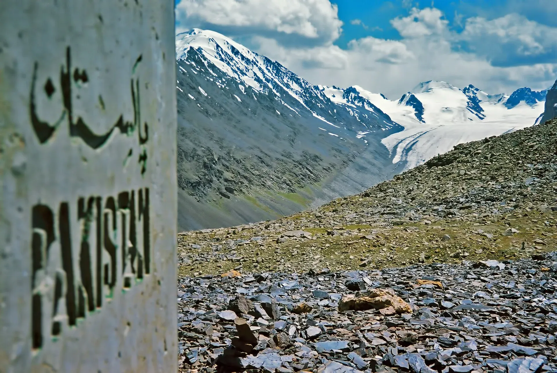
Photo: Saad Mohamed, with thanks · CC BY-SA 3.0 · via Wikimedia Commons · temporary stand-in photo
Karakoram
Hunza, Nagar, Shimshal, Gilgit and Baltistan. 42 passes.
- Sim La - 5,833 m - Panmah Glacier area, from Thungol - Extreme technical - Permit/access: Restricted zone; permit, licensed guide, CKNP fees - Other treks in Baltistan
- Khurdopin Pass - 5,790 m - Shimshal - Lukpe Lawo (Khurdopin Glacier) - Extreme alpine route, Grade III - Permit/access: Restricted; mountaineers only - Other treks in Gojal
- Mai Dur Pass - about 5,700 m - Shimshal (Pamir-e-Tang) - Ghuzherav valley (loop) - Technical glaciated pass; 75 m rappel descent - Permit/access: Restricted area (Shimshal) - Mai Dur Pass trek
- Lukpe La - 5,650 m - Shuwerth (Shimshal Pamir) - Lukpe Lawo, Biafo Glacier - Technical, extreme - Other treks in Gojal
- Chilinj Pass ((a different pass from Chilinji An)) - about 5,600 m - Shimshal - Shuwerth (Shimshal Pamir), via Virzherav Glacier - Technical, extreme, eight days - Other treks in Gojal
- Gondogoro La (Gondogoro Pass) - about 5,585-5,620 m (CKNP 5,545 m; older guides 5,940 m) - Concordia (Baltoro Glacier) - Hushe valley - Technical glaciated pass; fixed ropes, 50 degree slopes - Permit/access: Restricted zone; permit and experienced guide - Gondogoro La trek, Gondogoro La place page
- Ghidims Pass - 5,486 m - Ghidims valley (Ghuzherav) - Sher Ilaq (Shimshal winter pastures) - Very demanding technical; roped glacier travel - Other treks in Gojal
- Skam La - 5,407 m - Panmah Glacier area - Extreme technical - Permit/access: Restricted zone; permit, licensed guide, CKNP fees - Other treks in Baltistan
- Qapachpund Pass - about 5,270 m - Shimshal - Shuwerth (Shimshal Pamir) - Technical, extreme, six days - Other treks in Gojal
- Qalander Uween (Qalandar Uween (Chilinji An alternative)) - 5,220 m - Chapursan valley - Karambar valley (just north of Chilinji An) - Hard glacier crossing; roped travel - Permit/access: Restricted zone; permit and guide - Chilinji An and Qalander Uween trek
- Trango Pir Pass - 4,800-5,600 m (sources conflict) - Tukchun Lungma (Shoat) - Thengi (to Astor) - Very demanding glaciated pass - Other treks in Baltistan
- Lupgar Pir Pass (Lupghar Pir, Lupgar Pass) - 5,190 m - Yishkuk (Chapursan) - Raminj (Lupgar valley) - Strenuous six-day trek; non-glaciated top, glacier crossing each side - Lupgar Pir Pass trek
- Chilinji An (Chillinji An) - 5,160 m (a 2025 blog: about 5,335 m) - Chapursan valley - Karambar valley, near the Afghan border - Technical glaciated pass; roped travel, guide and permit - Permit/access: Restricted zone; permit required; near border - Chilinji An and Qalander Uween trek
- Hispar La (Hispar Pass) - about 5,128-5,151 m - Askole (Biafo Glacier, Baltistan) - Hispar and Huru (Nagar) - Technical glacier traverse, 12 days - Permit/access: Zone status disputed (open per old guide; CKNP permit possible) - Hispar La trek, Hispar La place page
- Werthum Pass - 5,147 m (2002 guidebook only) - Batura Glacier (China Camp, near Passu) - Lupgar valley (Raminj, Chapursan) - Technical trek; ice cornice on the north side, ice axe and rope belay - Werthum Pass trek
- Harpo La - 5,115 m - Tukchun Lungma (Shoat) - Thengi, Parishing Gah (to Astor) - Very demanding glaciated pass; serious avalanche danger - Other treks in Baltistan
- Chafchingol Pass - about 5,100 m (operators: 5,150 m) - Shimshal - Koksil (Karakoram Highway); Ghuzherav mountains - Very demanding; river fords, crevassed glacier, rope - Permit/access: Restricted area - Boisum and Chafchingol Passes trek
- Tusserpo La - 5,084 m - North branch above Thalle valley - Higher, harder, much less often crossed - Thalle La trek
- Skoro La - 5,073 m - Askole (Braldu valley) - Namika near Shigar - Demanding three-day, little used - Other treks in Baltistan
- Alampi La - 5,030 m - Shigarthang valley (near Kachura) - Astor - Demanding six-day trek; steep rocky descent - Other treks in Baltistan
- Naqpo Namsul La - about 5,000 m - Basho valley (Sultanabad) - upper Shigarthang valley - Demanding five-day near-loop; glaciated - Other treks in Baltistan
- Banak La - 4,963 m - Shigarthang valley - Astor (via Chumik) - Demanding; glacier - Other treks in Baltistan
- Boisum Pass (Boisum) - about 4,900 m (maps and operators: 4,900-5,090 m, some 5,050 m or 5,500 m) - Shimshal - Ghuzherav valley (also on the Mai Dur loop) - Rocky walk, no glacier - Permit/access: Restricted area - Boisum and Chafchingol Passes trek, Mai Dur Pass trek
- Chaprot Pass - about 4,900 m (Wikipedia) - Chaprot valley (Nagar) - Naltar valley - Little documented; the Pakora trek page says it is closed by hanging glaciers - Permit/access: Permits not confirmed - Chaprot Pass, Pakora Pass trek
- Qarun Pass - 4,873 m - Boibar valley (near Morkhun, Gojal), side trip; looks over Lupgar meadows - Long day with steep scree gully - Boibar trek
- Haramosh La - about 4,800 m - Chogo Lungma Glacier - Haramosh Glacier (Doko to Dassu) - Extreme technical, nine days; up to 500 m of fixed rope - Other treks in Baltistan, Chogo Lungma Glacier trek
- Thalle La (Thalay La (probably the same; Thalay Valley page gives 4,576 m)) - 4,572 m (operators: 4,600 m, 4,800 m) - Khasumik (Khaplu) - Shigar valley - Moderate three-day trek; non-glaciated - Thalle La trek, Thalay Valley
- Shachmirk Pass (Uween-e-Sar (next pass on the same trail, 4,650 m)) - 4,560 m - Shimshal Pamir - Zardgarben, the "uween" trail back to Shimshal - Very hard non-glacier day - Permit/access: Restricted area - Shimshal Pamir trek
- Rakhan Gali - 4,548 m - Bagrot valley (Chirah) - Haramosh valley (Hanuchal, Gilgit-Skardu road) - Strenuous four-day trek; steep scree - Rakhan Gali trek
- Daintar Pass - about 4,500 m (4,600 m FAQ; Wikipedia 5,000 m) - Upper Naltar (Gilgit) - Daintar Nala, Torbuto Das (Nagar) - Technical five-day semi-loop; rope and helmet advised - Daintar Pass trek, Naltar Valley
- Stak La - about 4,500 m - Stak Nala - upper Tormik valley - Demanding technical loop; rope and ice axe - Other treks in Baltistan
- Hon Pass - 4,257 m - Notch above Ultar Meadow (Karimabad), side trip - Day-hike side trip; no clear trail - Ultar Meadow trek
- Kermin Pass - not stated - Chapursan - Dilisang valley (Misgar) - Easy five-hour day walk - Other treks in Gojal
- Hapuchan Pass - not stated - Hapuchan valley - Wodwashk Bar (Misgar), border - Glaciated, obscure - Permit/access: Border area - Other treks in Gojal, Kilik and Mintaka Passes trek
- Wodwashk Pass - not stated - Side valley south of Hapuchan, Misgar - Obscure - Permit/access: Border area - Kilik and Mintaka Passes trek
- Talamutz Pass - not stated - Daintar Nala - Bar village (Nagar) - Trail leaves the Daintar descent - Daintar Pass trek
- Masherbrum La - not stated - Near Gondogoro La - Serious technical route, not a trekking pass - Permit/access: Restricted zone - Gondogoro La trek
- Kiris Pass - not stated - Thalle Brok - Kiris village - Route from Thalle valley - Thalle La trek
- Sokha La - not stated - Bisil - upper Biafo Glacier - Technical, not for trekkers - Chogo Lungma Glacier trek
- Nushik La - not stated - Basha valley - Biafo / Hispar area - Technical, not for trekkers - Chogo Lungma Glacier trek, Hispar La trek
- Polan La - not stated - Seen from Gareencho camp, Chogo Lungma - Mentioned only - Chogo Lungma Glacier trek
- Ganto La - not stated - Baltistan; can combine with Stak La - Listed trek - Other treks in Baltistan
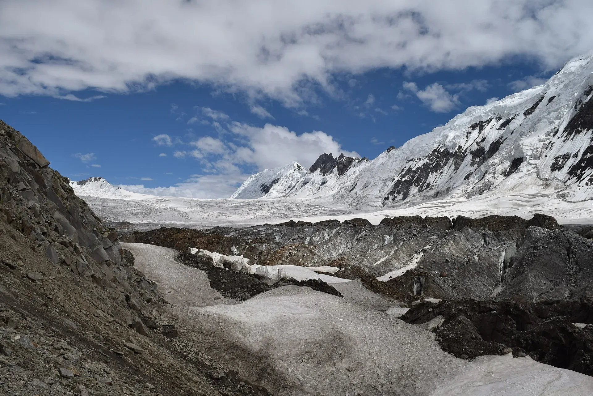
Photo: Yousaf Feroz Gill, with thanks · CC BY-SA 4.0 · via Wikimedia Commons · temporary stand-in photo
Himalaya
Nanga Parbat, Astore, Deosai, Kaghan and Neelum. 11 passes.
- Mazeno La (Vigne (Mazeno) Pass appears in the Gondogoro La trek page) - about 5,399 m - Rupal valley (Tarashing, Astore) - Diamir (Bunar, Diamer), Nanga Parbat - Technical glaciated pass; rope work, fixed ropes on north descent - Mazeno La trek
- Muthat Pass - 4,965 m - Raikot valley (Fairy Meadows side) - Astore - Very demanding; final stage of a Nanga Parbat circuit - Other treks in Diamir, Fairy Meadows trek
- Khusto Pass - 4,837 m - Jalipur high camp - Beyal, Fairy Meadows (Mazeno variation) - Variation after Zangot - Mazeno La trek
- Burji La - 4,816 m (other sources: 4,700-4,900 m) - Skardu (Satpara) - Deosai Plains (Ali Malik Mar) - Moderate three-day trek; snow-covered - Burji La trek, Skardu, Shigar and Deosai
- Dari La - 4,724 m - Shigarthang village - Deosai Plains (Usar Mar) - Demanding three-day trek - Other treks in Baltistan
- Katichu La - 4,588 m - Mehdiabad (Indus) - Deosai Plains - Moderate three-day trek - Other treks in Baltistan
- Karu Sagar Pass - 4,400 m - Kutagali - Shaichi (Mazeno variation) - Variation after Zangot - Mazeno La trek
- Sheosar Pass - 4,266 m - Deosai Plains - Chilam valley, Astor - Jeep road on the Skardu-Astor Deosai traverse - Other treks in Baltistan, Sheosar Lake
- Burzil Pass - 4,100 m - Astore - old Gilgit-Srinagar caravan route - Historic pass near the Line of Control - Permit/access: Sensitive; access limited; FCDO advises against travel within 10 miles of LoC - Burzil Pass
- Kamri Pass - about 4,073 m - Astore (near Kamri and Burzil) - Very little published - Permit/access: Near Line of Control - Kamri Pass
- Shounter Pass - not stated - Shounter valley above Kel (Neelum) - Astore - Separate trek - Permit/access: AJK; ask in Kel about permissions - Shounter Lake
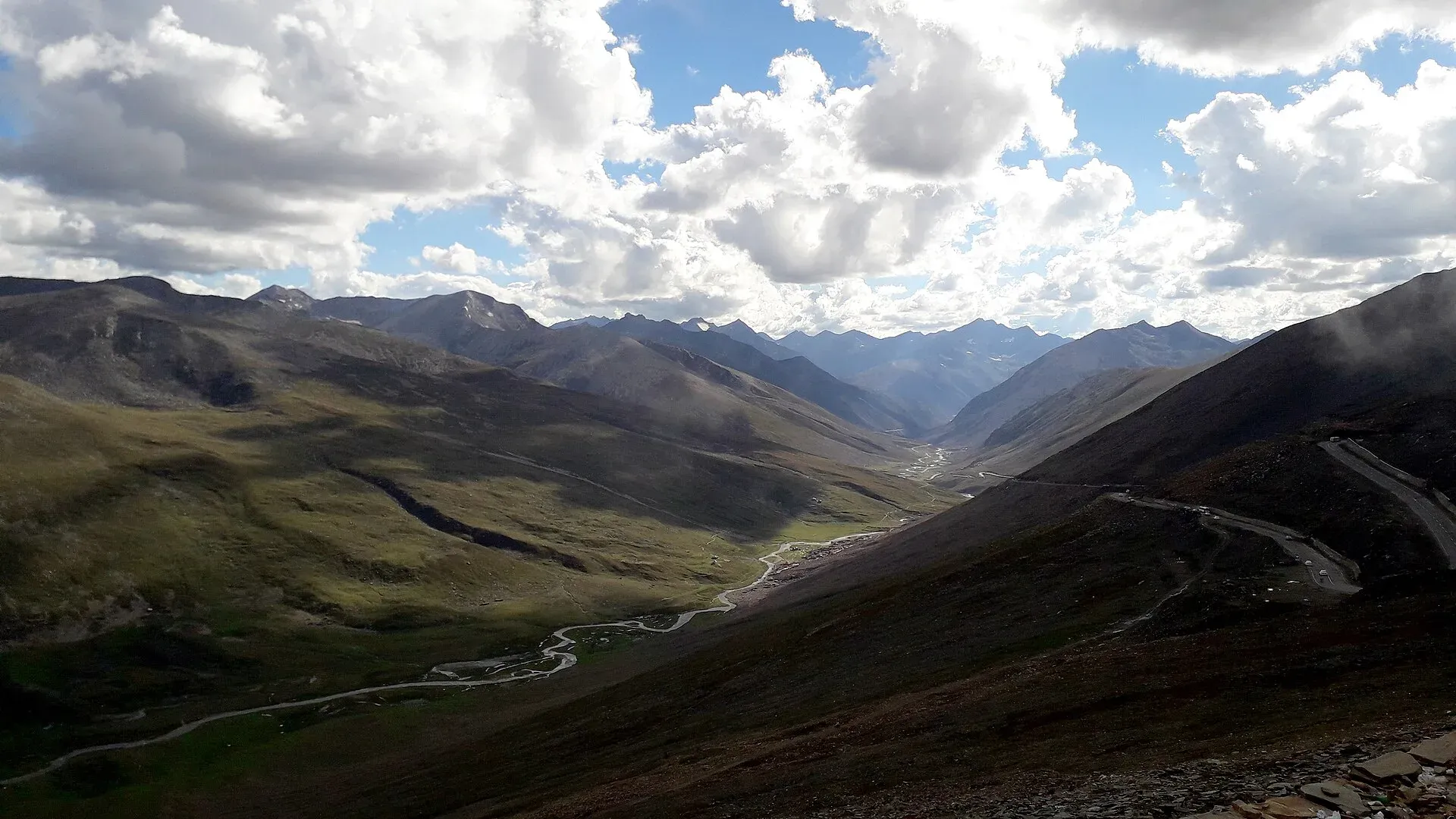
Photo: King Eliot, with thanks · CC BY-SA 4.0 · via Wikimedia Commons · temporary stand-in photo
Pamir and border passes
Passes on or near the Chinese, Afghan and Line of Control borders. 14 passes.
- Mustagh Pass (Old Mustagh about 5,422 m; New Mustagh about 5,700-5,800 m) - 5,422 m (old); about 5,700-5,800 m (new) - Baltoro Muztagh: Yarkand - Skardu historic caravan route - Historic glaciated border pass; not a trekking route - Permit/access: Border; information only - Mustagh Pass
- Shpodeen Pass (Shipedin Pir (map label)) - 5,346 m (2002 guidebook) - Shimshal - Zardgarben valley (South Ghuzherav loop) - Strenuous; snow, no glacier, 1,000 m scree descent - Permit/access: Restricted - Qachqar-e-Dur and Shpodeen Pass trek
- Irshad Pass (Irshad Uwin) - 4,979 m - Chapursan valley - Wakhan (Afghanistan) - Border pass; not a visitor route - Permit/access: Inside the FCDO 10-mile border zone; no permits given - Irshad Pass
- Kilik Pass - 4,827 m - Kilik valley (Misgar, Gojal) - Taghdumbash Pamir (Xinjiang) - Easy trek to a border pass; road does not reach it - Permit/access: Border; rules for foreigners changing; do not cross - Kilik and Mintaka Passes trek, Kilik Pass
- Shimshal Pass - 4,735 m - Shimshal Pamir - Chinese border - Trek to a border pass - Permit/access: Restricted; permit and guide - Shimshal Pamir trek, Gojal and Shimshal
- Mintaka Pass - 4,709 m (book: 4,726 m) - Mintaka valley (Misgar) - China border - Trek to a border pass; former Silk Road route - Permit/access: Border; rules changing; local guide - Kilik and Mintaka Passes trek, Mintaka Pass
- Khunjerab Pass - 4,693 m (4,714 m on the N-35 page) - Sost (Gojal) - Tashkurgan (Xinjiang), Karakoram Highway - Road pass and border crossing; now agreed to run all year - Permit/access: Checks at Sost and park checkpoint; border crossing rules - Khunjerab Pass, N-35 Karakoram Highway, Hunza and Khunjerab KKH
- Dorah Pass - about 4,300 m (4,554 m on the Garam Chashma page) - Lower Chitral - Badakhshan (Afghanistan) - Border pass; information only - Permit/access: Restricted frontier zone - Dorah Pass, Garam Chashma
- Broghil Pass (Buroghul Pass (probably the same; Yasin Valley page gives 3,798 m)) - 3,798 m (the owner's book: 3,600 m) - Head of Yarkhun valley (Upper Chitral) - Wakhan (Afghanistan) - Low border pass; trekkers visit Broghil valley, not the pass - Permit/access: Restricted, close to Afghan border - Broghil Pass, Broghil and Karambar An trek
- Agam Pass - 3,586 m (Wikipedia, via Spin Ghar page) - Spin Ghar range crossing - Mentioned only - Permit/access: Security-restricted - Spin Ghar range
- Peiwar Kotal (Peiwar Pass, Kurram Pass) - about 2,615 m - Kurram (Khyber Pakhtunkhwa) - Paktia (Afghanistan) - Border pass; history only - Permit/access: FCDO advises against all travel to Kurram - Peiwar Kotal
- Darwaza Pass - not stated - Karambar / Broghil to the Wakhan Corridor - Border pass - Permit/access: Closed to foreigners - Broghil and Karambar An trek
- Chorbat La - not stated - Head of Chorbat valley, Baltistan - Ladakh - Old route; on the Line of Control - Permit/access: Do not approach - Chorbat Valley
- Gomal Pass - not stated - Ghazni (Afghanistan) - Tank, Dera Ismail Khan, South Waziristan - Old trade route; history only - Permit/access: FCDO advises against all travel - Gomal Pass
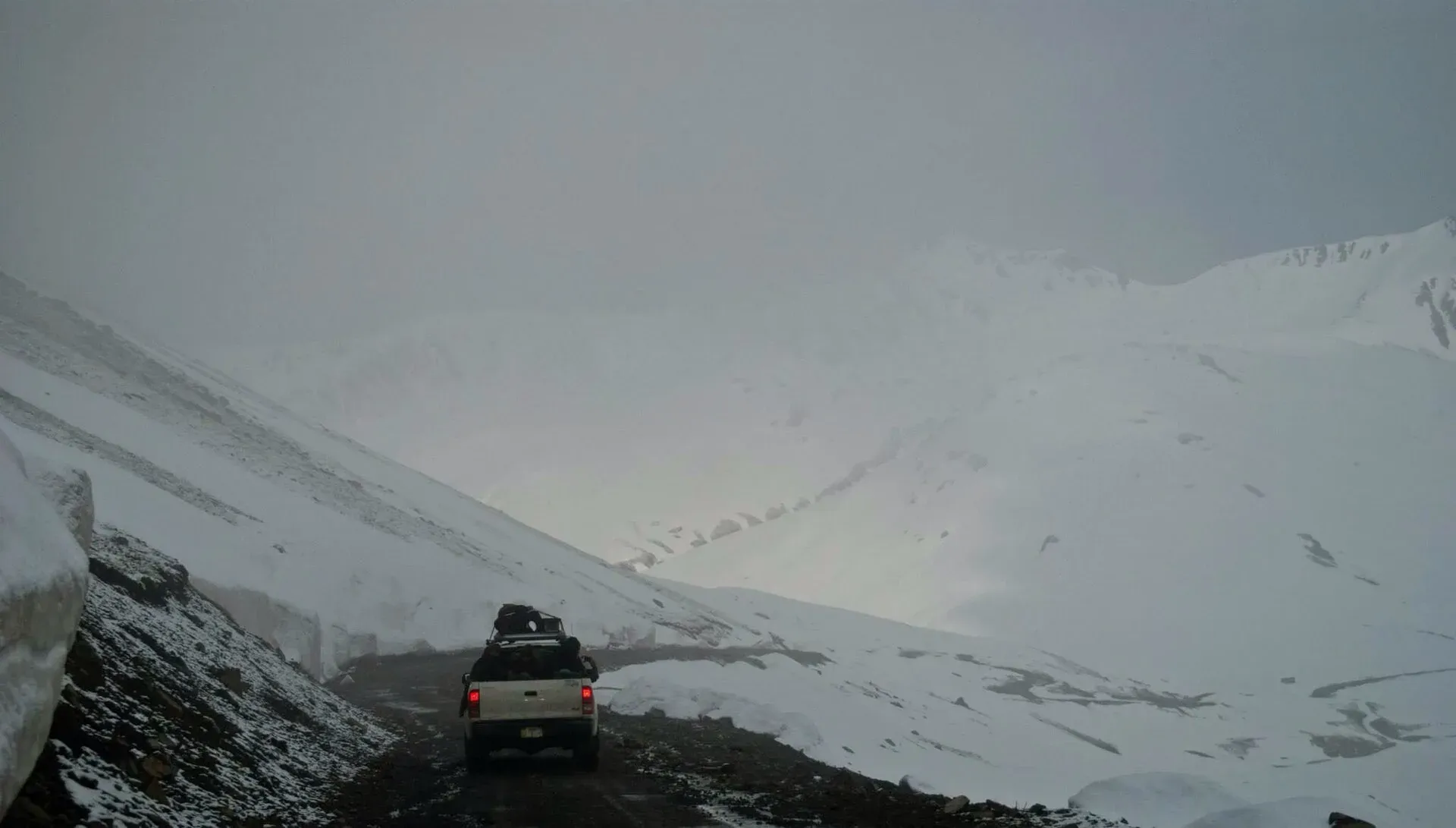
Photo: Muhammadyahyaqureshi, with thanks · CC BY-SA 3.0 · via Wikimedia Commons · temporary stand-in photo
Road passes
Lowland and highway passes. 14 passes.
- Babusar Pass - 4,173 m (4,170 m and 4,175 m on other pages) - Kaghan valley (Naran) - Chilas, Karakoram Highway - Road pass on N-15, summer only - Permit/access: Road status: closed about November to May - Babusar Pass, N-15 Mansehra-Naran-Babusar-Chilas
- Noori Top (Noori Nar Pass (Sharda page)) - about 3,960 m (13,000 ft) - Jalkhad (Kaghan) - Sharda (Neelum, AJK) - Jeep-only track, summer - Permit/access: Neelum end in AJK; FCDO advice - Noori Top
- Shandur Pass - 3,720 m (3,734 m TDAP; 3,700 m on the polo ground page) - Ghizer (Phander, Gilgit-Baltistan) - Upper Chitral (Laspur, Mastuj) - Road pass; rough road, summer polo festival - Permit/access: Check Chitral NOC; road open in summer - Shandur Pass, Gilgit-Shandur-Chitral biker route
- Badawi Pass (Badgoi Pass, Badogai Pass) - 3,523 m - Kumrat (Upper Dir) - Utror (Upper Swat) - Unpaved jeep pass; snow-closed about November to June - Permit/access: FCDO advises against all travel to Swat and Upper Dir - Badawi Pass, Kumrat Valley
- Lowari Pass - 3,118 m - Upper Dir - Chitral - Road pass; Lowari Tunnel (2017) carries traffic - Permit/access: Check FCDO advice for Dir - Lowari Pass, N-45 Nowshera-Chitral
- Khojak Pass - 2,290 m - Qila Abdullah - Chaman, N-25 and rail tunnel - Road pass - Permit/access: Chaman border closed since October 2025; FCDO advises against Balochistan - Khojak Pass, N-25 Karachi-Quetta-Chaman, Khojak Tunnel Railway
- Bolan Pass - about 1,793 m - Sibi / Dhadar - Quetta (89 km gorge) - Road and railway pass - Permit/access: FCDO advises against all travel in Balochistan - Bolan Pass, Bolan Pass Railway
- Karakar Pass - about 1,336 m (the Wikipedia list gives 4,977 m) - Swat - Buner, Pir Baba to Barikot road - Road pass - Permit/access: FCDO advises against all travel to Swat and Buner - Karakar Pass
- Khyber Pass - about 1,030-1,070 m (sources give 1,070 m and 1,028 m) - Jamrud (Peshawar) - Landi Kotal and the Afghan border (40 km) - Road and railway pass - Permit/access: FCDO all-travel warning; Torkham closed - Khyber Pass, Khyber Pass Railway, Landi Kotal
- Malakand Pass - height not given (sources disagree) - Plains (Dargai) - Batkhela, gateway to Swat and Dir - Road pass - Permit/access: FCDO advises against all but essential travel to Malakand - Malakand Pass
- Shangla Pass - not stated - Swat - Shangla (N-90 Khwazakhela to Besham) - Road pass (probable) - N-90 Khwazakhela-Besham
- Kohat Pass - not stated - Peshawar - Kohat (Khigana hills), N-55; Kohat Tunnel bypass - Road pass - Permit/access: FCDO advises against travel to Kohat and Peshawar - Kohat Pass, N-55 Indus Highway
- Girdu Pass - not stated - Sulaiman Range, N-70 Multan - Qila Saifullah (before Fort Munro) - Road pass - N-70 Qila Saifullah-Multan, Fort Munro
- Buzi Pass - not stated - Makran Coastal Highway near Hingol National Park - Road landmark - Permit/access: FCDO advises against Balochistan - Hingol National Park
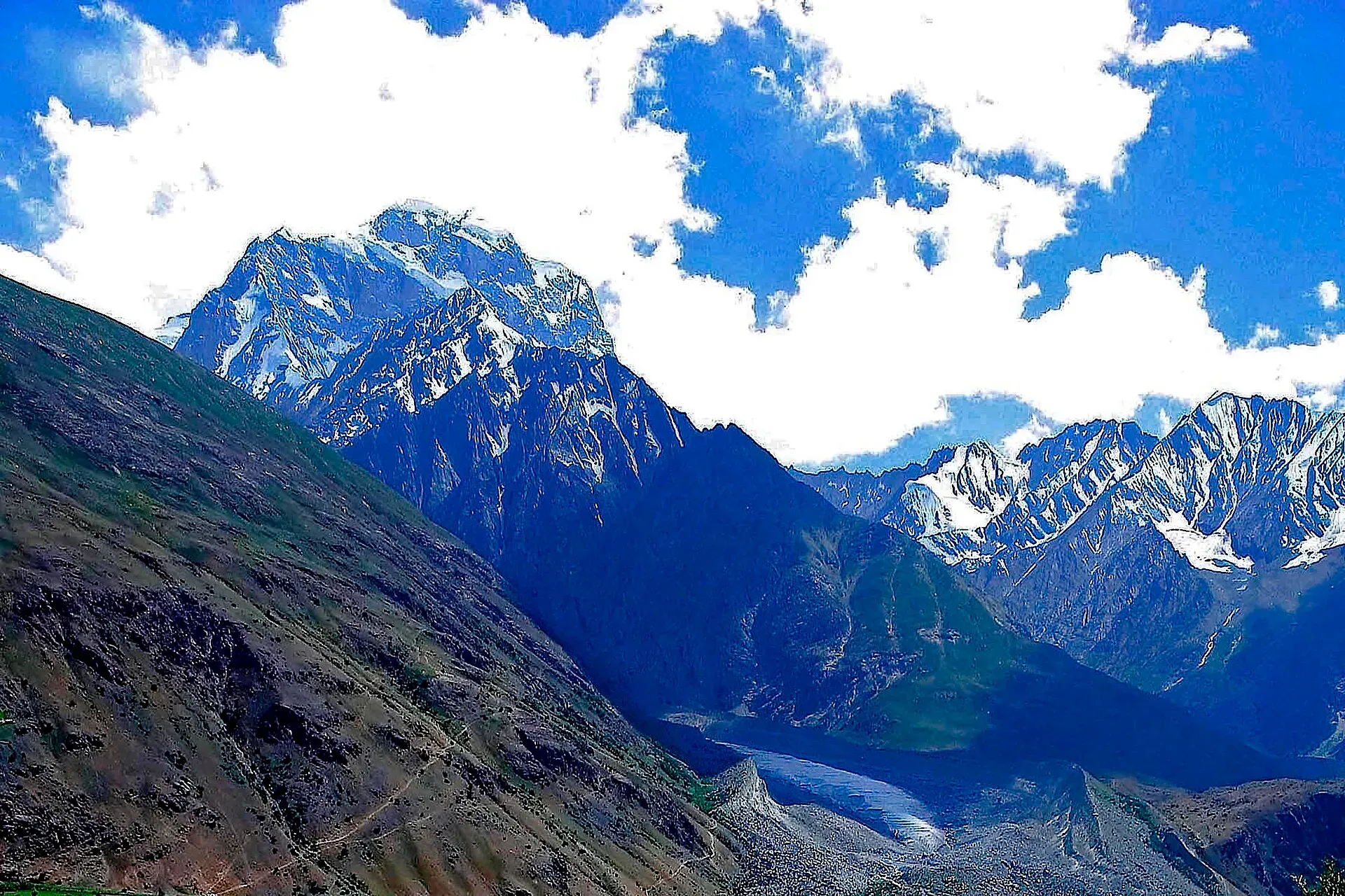
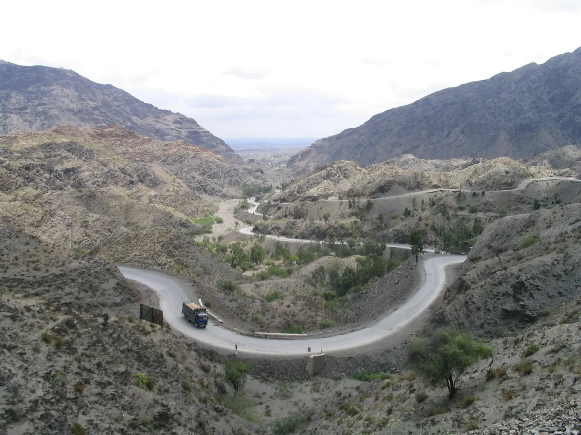
Photo: Pervez Ahmad Khan, with thanks · CC BY-SA 3.0 · via Wikimedia Commons · temporary stand-in photo
More photos
Sources and last checked
Last checked Confidence medium5 sources13 still to check
- Last checked
- Method
- Desk research from published sources
- Confidence
- medium
- Checked by
- trek.pk research team
Researched from published sources; not yet checked on the ground by our team. Spot something out of date? Report a mistake.
Sources
- List of mountain passes in Pakistan · Wikipedia · checked
- Khunjerab Pass · Wikipedia · checked
- Gondogoro Pass · Wikipedia · checked
- Trekking in the Karakoram and Hindukush (Lonely Planet, c. 2002), as used on the trek.pk trek pages · trek.pk / Lonely Planet · checked
- Pakistan travel advice: warnings and insurance (updated 27 October 2026) · UK Foreign, Commonwealth & Development Office (FCDO) · checked
Still to be checked on the ground (13)
- Khunjerab Pass height: 4,693 m on the place page and most pages, 4,714 m on the N-35 route page
- Gondogoro La height: 5,585 m, 5,545 m (CKNP), 5,618 to 5,620 m (GPS) and 5,940 m in older guides
- Darkot An height: 4,570 m, 4,575 m, 4,650 m, 4,675 m and 4,703 m across pages
- Thui An height: about 4,500 m on most pages; 4,690 m and 5,005 m (Wikipedia) also quoted
- Karakar Pass: our place page gives about 1,336 m; Wikipedia's pass list gives 4,977 m
- Dorah Pass: 4,300 m on its place page and 4,554 m on the Garam Chashma page
- Mintaka Pass: 4,709 m (Wikipedia) and 4,726 m (older guide); Babusar 4,170 to 4,175 m; Shandur 3,700 to 3,734 m
- Whether Buroghul Pass (Yasin Valley page, 3,798 m) is the same as Broghil Pass (3,798 m)
- Whether Thalay La (4,576 m) is the same pass as Thalle La (4,572 m)
- Kachakani An and Bashkaro An: our pages treat them as two passes, but Shonz is named as the camp below both
- Gondogoro La trek page names a Vigne (Mazeno) Pass near Gondogoro La, which is not the Mazeno La on Nanga Parbat
- Many heights for little-used passes come from one guidebook (c. 2002) and are unconfirmed
- Permit rules for border and restricted-zone passes change often; confirm with GB Tourism, the Chitral administration or an operator


