

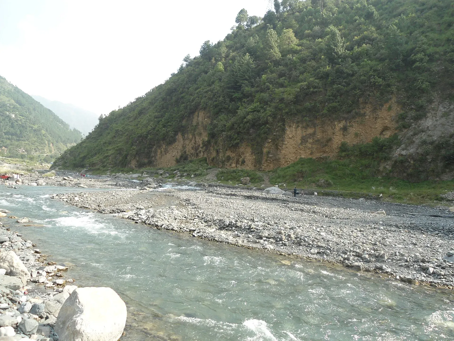
Photo: B khan niazi, with thanks · CC BY-SA 3.0 · via Wikimedia Commons · temporary stand-in photo

Gomal Pass
An old trade route along the Gomal river from Ghazni in Afghanistan to Tank and Dera Ismail Khan. History only: it lies in South Waziristan on the border, where the FCDO advises against all travel.
Overview
Gomal Pass follows the Gomal river through the hills from Ghazni in Afghanistan to Tank and Dera Ismail Khan in Khyber Pakhtunkhwa. It is a pass on the Durand Line border, in the Hindu Kush range, in south-eastern South Waziristan, roughly midway between the Khyber and Bolan passes. Britannica describes the pass proper as a defile of about 4 miles (6 km), though the name is sometimes used for the whole river course. There is no sourced height.
This is a history page, not a visitor guide. The pass is in a border district where visits are not advised.
Plan your visit
- Nearest town
- Tank
- Getting there
Not advised. The pass runs from near Tank and Dera Ismail Khan up the Gomal river towards Ghazni. There is no tourist access we can confirm. More
- Gomal Pass
- Related place nearby: Gomal Zam Dam
The Gomal river
The pass takes its name from the river, which is about 400 km long. It rises in northern Paktika Province in Afghanistan and flows south-east, then enters Khyber Pakhtunkhwa, where it forms the boundary between South Waziristan and Balochistan. Its main tributary, the Zhob, joins near Khajuri Kach, about 177 km from the source. From there the Gomal runs about 160 km more and meets the Indus 32 km south of Dera Ismail Khan.
Where the river enters the Gomal valley at Girdavi in Tank District, its water feeds the Zam irrigation system (rod kohi, or hill-torrent farming). Damming the river at Khajuri Kach was first proposed in 1898, approved by the government in 1963, halted in 1965, restarted in 2001 and inaugurated in 2013 as Gomal Zam Dam.
History
There is nothing arranged for visitors. The pass matters for its past. Britannica calls it the oldest trade route in the area, long used by nomadic Afghan traders known as Powindahs. Their entry into Pakistan is now restricted. In 1889 the British took control of the Zhob valley and the Gomal Pass.
When to visit
No visit is recommended.
Where to stay and eat
None advised. Dera Ismail Khan is the nearest large town, and the FCDO also advises against all travel there.
Good to know
- Ask the district administration or local police about current conditions before you go. Travel advice. For foreign visitors: the UK FCDO (updated 27 October 2026, checked 17 November 2026) advises against all travel to Upper and Lower South Waziristan, Tank and Dera Ismail Khan, and within 10 miles of the Afghan border.
- Border. RFE/RL reported on 4 October 2026 that Pakistan closed its crossings with Afghanistan on 12 October 2025 and that the five major ones, named as Torkham, Chaman-Spin Boldak, Ghulam Khan, Kharlachi and Angoor Adda, were still closed. Gomal was not named, and its status is unknown.
- Fees. None.
Highlights
- Old Ghazni to Dera Ismail Khan trade route
- Traditional Powindah trader route
- Midway between the Khyber and Bolan passes
- Not open to ordinary visitors
Getting there
Not advised. The pass runs from near Tank and Dera Ismail Khan up the Gomal river towards Ghazni. There is no tourist access we can confirm.
Tips
- Read it as history only
- Check the live FCDO page for South Waziristan
- Look at the Dera Ismail Khan page for the plains end of the route
Sources and last checked
Last checked Confidence low5 sources2 still to check
- Last checked
- Method
- Desk research from published sources
- Confidence
- low
- Checked by
- trek.pk research team
Researched from published sources; not yet checked on the ground by our team. Spot something out of date? Report a mistake.
Sources
- Gomal Pass (Wikipedia) · Wikipedia · checked
- Gumal Pass · Encyclopaedia Britannica · checked
- Gomal River (Wikipedia) · Wikipedia · checked
- Afghanistan-Pakistan border closure, one year on (4 October 2026) · RFE/RL · checked
- Pakistan travel advice: warnings and insurance (updated 27 October 2026) · UK FCDO · checked
Still to be checked on the ground (2)
- Height of the pass (not in Wikipedia; Britannica returned 403 this pass)
- Current border and access rules at Gomal itself (not named by RFE/RL)
Nearby and related

Dera Ismail Khan
A historic Indus river city in southern Khyber Pakhtunkhwa where Saraiki and Pashtun cultures meet, near the 5,000-year-old Rehman Dheri mound. Check security advice before any visit.

Khyber Pakhtunkhwa
Mountains, Buddhist ruins and old bazaars in north-west Pakistan: Swat, Kaghan, Chitral, the Kalash valleys, the Khyber Pass and Peshawar.

Balochistan
Pakistan's largest and least populated province: Quetta's high valleys, Ziarat's juniper forest, the Makran coast, Hingol and Gwadar. Security and permission rules need checking first.
Gomal Zam Dam
A 133 m roller-compacted concrete dam on the Gomal River in South Waziristan, completed in 2011 and inaugurated in 2013 for irrigation, flood control and power. FCDO advises against all travel to South Waziristan. Information only.