

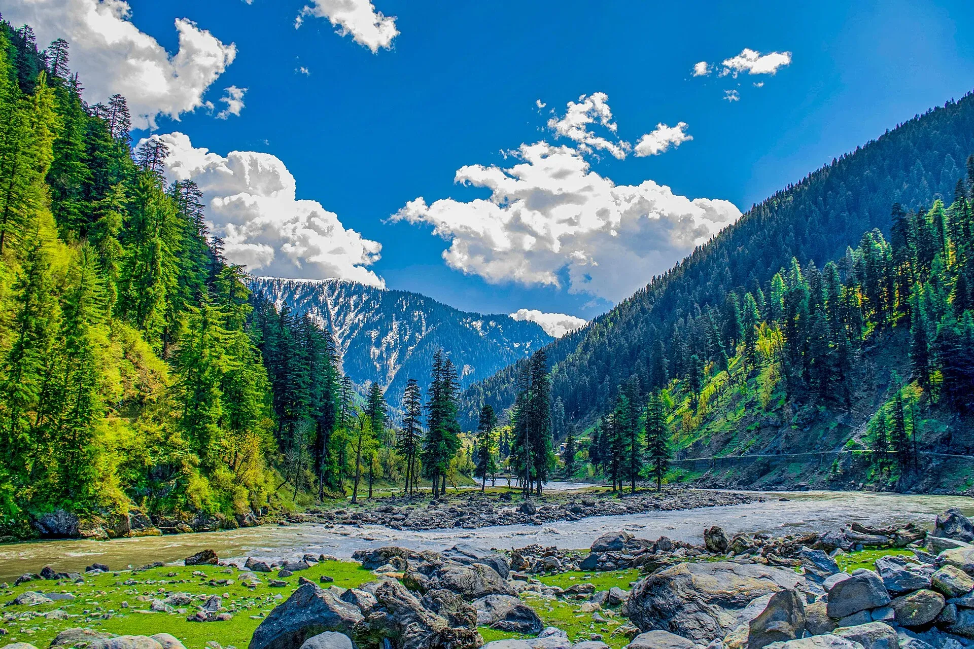
Photo: Umar Jamshaid, with thanks · CC BY-SA 3.0 · via Wikimedia Commons · temporary stand-in photo

Machiara National Park
A forested mountain park near Muzaffarabad, notified in 1996, covering about 334 square kilometres between the Neelum and Kaghan valleys. An Important Bird Area with western tragopan and musk deer.
Overview
Machiara National Park lies in the mountains above Muzaffarabad in Azad Jammu and Kashmir, with the Neelum valley on its eastern side and the Kaghan Valley on its western side. It was notified in 1996 and covers about 33,437 hectares (334 square kilometres). The park is part of the Western Himalayan broadleaf forest region, with evergreen broadleaf and deciduous woods, and rainfall of around 1,527 mm a year, heaviest in July and lightest in November.
BirdLife International has named it an Important Bird Area. The Key Biodiversity Areas factsheet gives an elevation range of 2,134 m to 4,733 m and describes the site as entirely forest. It lists a smaller site area of about 146 square km (last assessed in 2004), which differs from the 334 square km of the national park, so treat the two figures as different measurements. Records include snow leopard (Vulnerable), Kashmir musk deer (Endangered), western tragopan (Vulnerable), cheer pheasant (Vulnerable), lammergeier (Near Threatened), Himalayan vulture (Near Threatened), Kashmir nuthatch and orange bullfinch. Wikipedia also lists the Himalayan quail, which is Critically Endangered and has not been reliably recorded for well over a century, so do not expect it. Wikipedia lists further birds: hoary-throated barwing, white-cheeked bushtit, white-throated bushtit and scaly-breasted cupwing. Statuses are IUCN Red List categories as quoted on Wikipedia.
Plan your visit
- Nearest town
- Muzaffarabad
- Getting there
From Islamabad, drive to Muzaffarabad (about 135 km via Murree and Kohala; More
Best months
Apr – Jun, Sep – Oct
- Machiara National Park
- Related places nearby: Muzaffarabad, Neelum Valley
What to see and do
- Forest walks and birdwatching. Spring and autumn are good for pheasants and mountain songbirds. Go with a local guide; the birds are shy.
- Village visits. Local communities graze animals and gather forest products here. Ask permission before photographing.
- Views. From higher ground you can look towards the Neelum and Kaghan valleys.
- Neelum Valley. Combine a visit with the road to Neelum and its lakes.
When to visit
April to June and September to October for walking and birds. Monsoon rain from July can bring landslides. Winter is cold and snowy at higher levels.
Where to stay and eat
Muzaffarabad has hotels and restaurants. Facilities in and around the park are very basic; arrange food and a guide in advance.
Good to know
- Check current road, security and permit rules for the area with Azad Jammu and Kashmir tourism and the wildlife department. A fee may apply. Current fees will be added soon; check with the park office or the provincial wildlife department before you go.
- Follow the standard park rules: take your litter out with you, do not light fires outside marked sites, do not pick plants or disturb animals, and do not hunt. Hunting and trapping inside a national park are offences. Ask the park office before flying a drone; many parks need written permission and drones are banned near borders and sensitive sites.
- Do not collect plants, honey or wood. People rely on the forest, and collecting in a national park may be an offence.
- The area is earthquake-prone and was heavily affected in 2005; roads can be damaged.
Travel advice
Ask the district administration or local police about current conditions before you go. For foreign visitors: the UK FCDO advises against all but essential travel to Azad Jammu and Kashmir, and against all travel within 10 miles of the Line of Control (advice updated 27 October 2026, checked 16 November 2026). Read the live advice before you plan.
Highlights
- Important Bird Area
- Western tragopan and cheer pheasant habitat
- Close to Muzaffarabad
- Between Neelum and Kaghan valleys
Getting there
From Islamabad, drive to Muzaffarabad (about 135 km via Murree and Kohala; a routing check gives about 1.6 hours before traffic, so allow 3 hours or more), then continue by local road towards Machiara and its villages (a routing check from Muzaffarabad to the map pin gave about 46 km and 1 hour 13 minutes, but the end point snapped 3.5 km from the pin, so treat it as rough). Ask in Muzaffarabad for current road conditions. The last stretch is steep and narrow.
Tips
- Hire a local guide for birds
- Walk in spring or autumn
- Check roads after rain
- Do not collect plants or wood
Wildlife
Facilities
- Village tracks
- Hotels in Muzaffarabad
Photos we still need: forest and meadows inside Machiara National Park (the Neelum Valley photo previously used showed another place); western tragopan or other park wildlife (only a Thorburn illustration found). Send us yours
Sources and last checked
Last checked Confidence medium3 sources3 still to check
- Last checked
- Method
- Desk research from published sources
- Confidence
- medium
- Checked by
- trek.pk research team
Researched from published sources; not yet checked on the ground by our team. Spot something out of date? Report a mistake.
Sources
- Machiara National Park (Wikipedia) · Wikipedia · checked
- Pakistan Tourism Guide 2021 · TDAP Pakistan · checked
- Machiara National Park (Key Biodiversity Area factsheet) · Key Biodiversity Areas · checked
Still to be checked on the ground (3)
- Route and distance from Muzaffarabad (rough OSRM figure only; no source describes the road)
- Fees and permits (no source found)
- Whether the park is open to visitors (no source found; FCDO advice for AJK applies)
Nearby and related

Muzaffarabad
The capital of Azad Jammu and Kashmir, at 737 m where the Neelum and Jhelum rivers meet. It is the gateway to the Neelum Valley and a rebuilt city after the 2005 earthquake.

Neelum Valley
A long, forested river valley in Azad Kashmir running north-east from Muzaffarabad to Sharda, Kel and Arang Kel. It runs close to the Line of Control, so check access before you go.

Neelum River
A 245 km river called the Kishanganga in India. About 195 km flows through Azad Kashmir's Neelum Valley before it joins the Jhelum at Muzaffarabad. Border-zone travel advice applies.