

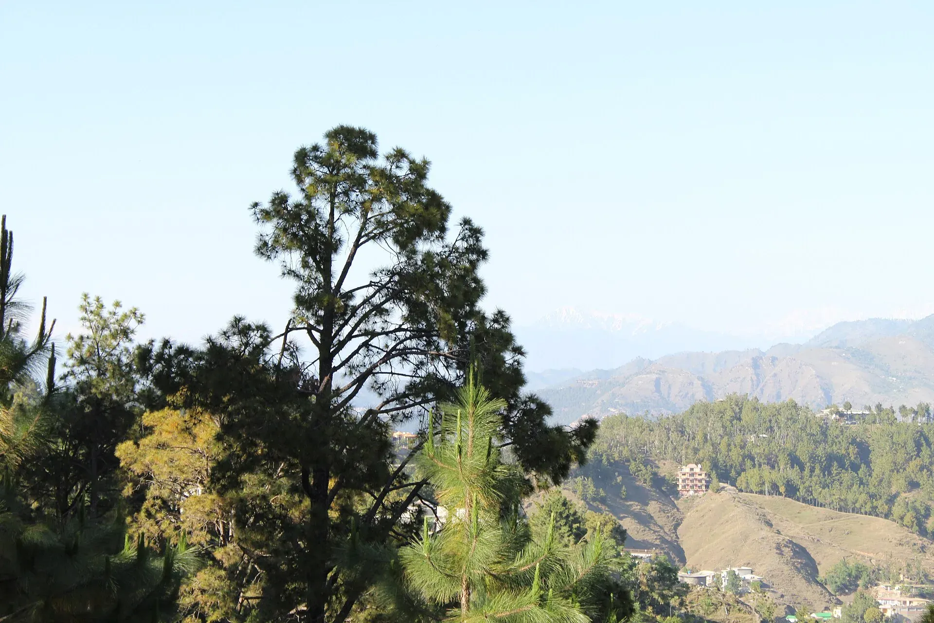
Photo: Malik Sohail Nawaz, with thanks · CC BY-SA 4.0 · via Wikimedia Commons · temporary stand-in photo

Shimla Hill (Abbottabad)
A hill park above Abbottabad city, used as an easy evening viewpoint over the valley. A redevelopment plan was reported in 2025.
Overview
Shimla Hill, also called Shimla Pahari, is a hill, viewpoint and green space in the middle of Abbottabad. The Abbottabad district administration lists it among the district's attractions and gives its distance from the city as 2.3 km. The Pakistan Tourism Development Corporation's Galyat brochure calls it a viewpoint over Abbottabad valley. The Khyber Pakhtunkhwa Culture and Tourism Authority also lists it among places worth a visit in and around the city.
Plan your visit
- Nearest town
- Abbottabad
- Getting there
From the centre of Abbottabad the hill is about 4 km and 8 minutes by road (OSRM; checked 16 November 2026). More
Best months
Mar – Apr, Sep – Nov
- Shimla Hill (Abbottabad)
- Related places nearby: Abbottabad, Thandiani, Nathia Gali
About Abbottabad
James Abbott, deputy commissioner of Hazara, founded the town in January 1853, and its name means "Abbott's town". It stands at about 1,256 m on a plateau at the southern end of the Orash Plain, and its climate is humid subtropical with heavy rain in July and August. Annual rainfall averages about 1,532 mm. The town is known for its schools and colleges, and the Pakistan Military Academy is at Kakul, about 8 km north-east.
What to see and do
- The view. The hill sits above the city, so the main reason to go is a look over the rooftops and the valley around them.
- A short walk. It suits a relaxed stroll or an evening stop, not a full day.
- Redevelopment. A 2025 report by the International Institute for Sustainable Development described a project to turn Shimla Hill Park into the Sherwan Hill Adventure Park. Planned works included more green space, reforestation, walking trails, access ramps and lighting. What has been built is not confirmed.
Other sights in Abbottabad
- Abbott House and the Abbott Museum.
- St Luke's Church, built in 1864.
- Ilyasi Mosque in Nawan Shehr, built around 1927 to 1932 beside a stream at the foot of a hill.
- Lady Garden Park, where a marble plaque carries a poem Abbott wrote about the town.
When to visit
Spring and autumn give the clearest weather. Late afternoon is the favourite time for the view. Summer afternoons are warm, and the monsoon months bring cloud and rain.
Where to stay and eat
Abbottabad has hotels and restaurants of all sizes. For cooler air and forest walks, many visitors stay up in the Galyat hills at Nathia Gali or Ayubia.
Good to know
- Entry and hours. There is no known official notice. Current fees will be added soon. Ask locally.
- Advice. For foreign visitors: the UK FCDO does not list Abbottabad among the areas it advises against, but its advice covers the Karakoram Highway north of Mansehra and several other Khyber Pakhtunkhwa districts, and notes emergency measures in the province since 11 October 2026 (checked 16 November 2026). Check the live page before travelling.
- Nearby. Thandiani, about 30 km east of Abbottabad at roughly 2,800 m, Nathia Gali and Ayubia are the usual day trips.
Highlights
- Viewpoint in the middle of Abbottabad
- Listed by district and provincial tourism bodies
- Short evening stop
- Possible redevelopment as an adventure park
Getting there
From the centre of Abbottabad the hill is about 4 km and 8 minutes by road (OSRM; checked 16 November 2026). Abbottabad is about 108 km and 1 hour 25 minutes from Islamabad by the fastest road (OSRM), usually a little longer in traffic. Taxis and rickshaws in the city know the hill.
Tips
- Go in the late afternoon for the best light.
- Check what is open, as redevelopment was planned.
- Pair it with a day trip to Thandiani or Nathia Gali.
- Check FCDO advice for Khyber Pakhtunkhwa before travelling.
Photos we still need: Abbottabad city seen from Shimla Hill; Abbott House or St Luke's Church. Send us yours
Sources and last checked
Last checked Confidence low5 sources3 still to check
- Last checked
- Method
- Desk research from published sources
- Confidence
- low
- Checked by
- trek.pk research team
Researched from published sources; not yet checked on the ground by our team. Spot something out of date? Report a mistake.
Sources
- Shimla Hill · Wikipedia · checked
- Pakistan travel advice (Warnings and insurance) · UK FCDO (GOV.UK) · checked
- OSRM routing (driving distances) · OSRM project · checked
- Galyat brochure · Pakistan Tourism Development Corporation · checked
- Abbottabad · Wikipedia · checked
Still to be checked on the ground (3)
- Current state of the park and any redevelopment (IISD report page returned 403; Wikipedia says only that a 2025 report described the plan)
- Opening hours and any entry charge (no official source)
- Elevation of the hill (PTDC brochure and Wikipedia give none)
Nearby and related

Abbottabad
A cool, green cantonment city at about 1,256 m in Hazara, the military academy town and the main gateway to Nathia Gali, Thandiani, Ayubia National Park and the Kaghan Valley.

Thandiani
A thickly forested hill station at about 2,750 m above Abbottabad, started by British missionaries and a sanatorium. Snow can close the road for days, so check conditions in winter.

Nathia Gali
A pine-forest hill station at about 2,410 m in the Galyat hills, with a wooden colonial church, walks to Miranjani and Mukeshpuri, and snow from December to February. Roads often close in heavy snow.

Ayubia
A forest hill station in the Galyat inside Ayubia National Park, at about 2,400 m, known for the Pipeline Track to Nathia Gali. Its historic chairlift has been closed since October 2021; no reopening date is confirmed.