

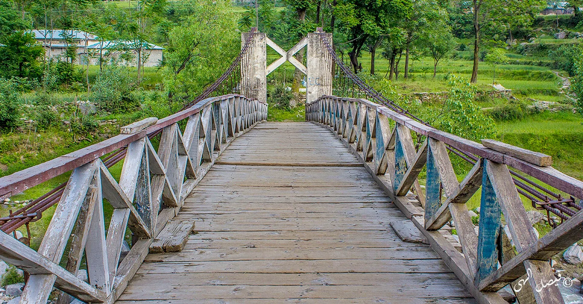
Photo: Faisal Iqbal, with thanks · CC BY-SA 4.0 · via Wikimedia Commons · temporary stand-in photo

Siran Valley
A quiet forested valley in Mansehra District, west of Kaghan, with deodar forest, meadows (galis) and peaks such as Musa ka Musalla. Roads are poor, and few visitors come.
Overview
Siran Valley lies in the Pakhli region of Mansehra District, west of the Kaghan Valley. The Siran River rises at the Mandagucha glacier in the upper valley and flows south and west to meet the Indus near Tarbela. Wikipedia describes the valley as a quieter, less commercial alternative to the better-known northern tourist valleys. It has deodar, blue pine and fir forest, apple orchards, and high meadows locally called galis.
This page draws on limited sources, much of it travel writing rather than official tourism material. Check details locally.
Plan your visit
- Nearest town
- Shinkiari
- Getting there
Islamabad to Mansehra is about 131 km (OSRM 1.6 h, optimistic). Shinkiari is about 18 km north of Mansehra on the Karakoram Highway; from there a road climbs to Jabori and onward by jeep and on foot. More
Best months
May – Oct
Getting there
The main entry is Shinkiari, about 18 km north of Mansehra on the Karakoram Highway. From Islamabad to Mansehra, OSRM gives about 131 km and 1.6 hours (optimistic; allow 2.5 to 3 hours). From Shinkiari, a road runs up the valley to Jabori, the valley's commercial centre, which a guide describes as about an hour's drive. Beyond Jabori, access to the upper valley and the meadows is by jeep tracks and on foot. A Dawn feature and other reports describe road quality as the main reason the valley stays quiet. Road projects, such as the Nawazabad to Mundi Meadow road, were reported under way, but their present status is not confirmed.
Villages and sights
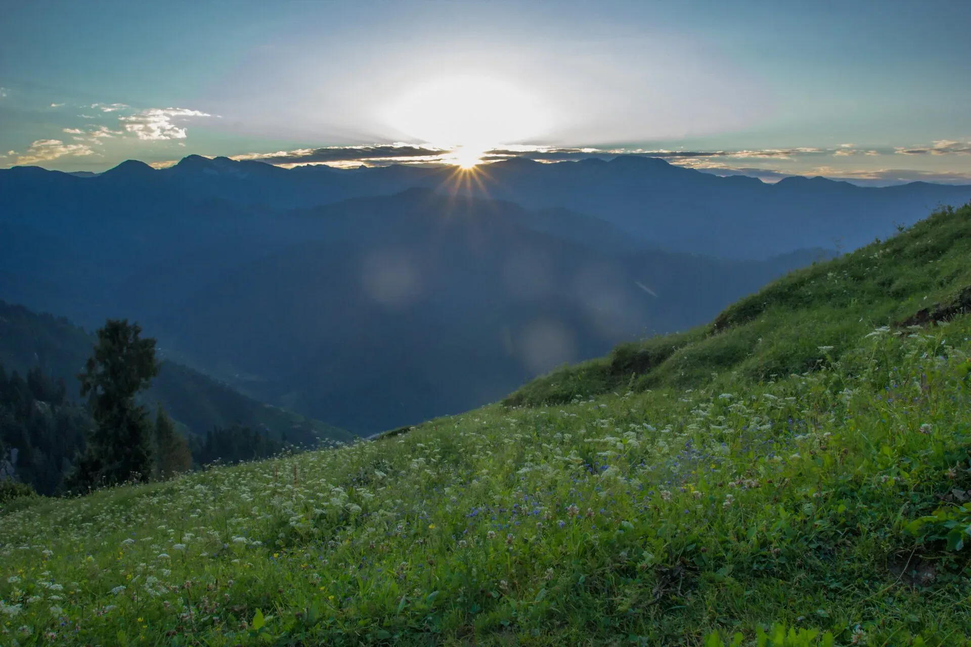
Photo: Faisal Iqbal, with thanks · CC BY-SA 4.0 · via Wikimedia Commons · temporary stand-in photo

The three union councils are Bhogarmang, Sacha Kalan and Jabori. Wikipedia gives the valley's elevation as about 2,500 m.
- Jabori and Bhogarmang. Local bazaars and union councils at the heart of the valley.
- Kund Bangla. A forest rest house at about 2,250 m, the start of the 66 km Munro Hiking Trail. The only accommodation reported there is a forest department rest house, so confirm who to ask before you go.
- Musa ka Musalla. A peak of about 4,100 m, the second highest in the valley and regarded by locals as spiritually significant. The name means the Prayer Mat of Moses. Clear days give views of the Kohistan, Kaghan and Kashmir ranges and, according to Wikipedia, Nanga Parbat.
- Churko Peak. At 4,265 m the highest peak in the valley, usually done as a three to four day trek.
- Khanda Top (Khunda Gali). A conical peak of about 3,900 m at the northern end of the valley.
- Meadows and forest. Wikipedia names Sohni Sar (about 3,900 m) and Maliki Top (about 3,400 m). It lists the meadows (galis) of Baleja, Bhishti, Doga, Saraan, Aram Gali, Darwaza Gali and Dalyar Top. Khandagali is known as the "Valley of Flowers". Mundi, a sub-valley, is used as a trek base. The forests around Jacha, Shaheed Pani, Mandagucha, Dhor and Kund Bangla are among the oldest and densest in the region, with deodar, blue pine, oak and fir. Himalayan monal and golden eagle are among the birds.
Treks and walks
The Munro Hiking Trail was developed by A. V. Munro, a British forest officer, between 1900 and 1905. Wikipedia calls it a six-day trek. It runs for about 66 km from Kund Bangla through the hills between the Siran and Kaghan valleys to Kamal Ban in the Naran valley, passing forest rest houses such as Shaheed Pani. Wikipedia reports it was reopened in 2022 to promote adventure tourism, but the source it cites says only that it would open soon, so the reopening is not confirmed. Reports of its present condition and services are limited, so ask the Khyber Pakhtunkhwa forest or tourism authorities before attempting it. Churko Peak and Musa ka Musalla are shorter trips from the upper valley and should be done with a local guide.
When to visit
May to October for walking and camping. The high ground is snowbound in winter, and the roads are slow in the monsoon. Summer is cooler than the plains around Mansehra and Abbottabad, and autumn has clear skies.
Where to stay and eat
Facilities are basic. Mansehra and Shinkiari have hotels. In the valley, expect simple guest rooms in Jabori and homestay-style arrangements, and camping on the meadows. Bring your own food and supplies for treks, and carry cash.
Culture and languages
The valley is Hindko-speaking, and the Swati tribe holds much of the land and local authority, according to Wikipedia. Visitors should dress modestly and ask permission before camping on private land.
Safety and practical points
- Roads and access. Expect rough roads and landslides in rain. Do not drive after dark.
- Security advice. The UK Foreign Office advises against all travel on the Karakoram Highway between Mansehra and Chilas, and the valley is entered from the highway at Shinkiari area. Read the advice (checked 16 November 2026) and ask local police before travelling.
- Trekking. Tracks are not marked. Go with a local guide, tell someone your plan and carry a map and spare food.
- Weather. Thunderstorms build in the afternoon in summer. Start early.
Highlights
- Deodar and blue pine forests
- Musa ka Musalla and Churko peaks
- Meadows (galis) for camping
- Munro Hiking Trail towards Naran
- Few visitors compared with Kaghan
Tips
- Treat road and trail information as unconfirmed; ask locally.
- Hire a local guide for the high peaks.
- Bring food and cash; shops are small.
- Start early to avoid afternoon storms.
Photos we still need: Kund Bangla forest rest house and the Munro Trail; a gali (meadow) such as Khandagali or Mundi. Send us yours
Sources and last checked
Last checked Confidence low5 sources5 still to check
- Last checked
- Method
- Desk research from published sources
- Confidence
- low
- Checked by
- trek.pk research team
Researched from published sources; not yet checked on the ground by our team. Spot something out of date? Report a mistake.
Sources
- Siran Valley (Wikipedia) · Wikipedia · checked
- Siren valley: unexplored paradise on earth · Dawn · checked
- Work underway on road project · Zameen News · checked
- Pakistan travel advice (last updated 27 October 2026) · UK FCDO · checked
- OSRM routing · Project OSRM · checked
Still to be checked on the ground (5)
- Road condition and distances beyond Shinkiari (no source found)
- Whether Kund Bangla rest house can be booked, and how (Wikipedia says only that the Munro trail starts there at 2,250 m)
- Munro Trail condition and reopening status (66 km confirmed by Wikipedia; reopening date unclear, see page)
- Peak heights (Wikipedia: Churko 4,265 m, Musa ka Musalla 4,100 m; no survey or official source; Wikipedia does not mention Makra or Mukeshpuri)
- Local security and travel advice for the Siran area (follow the FCDO advice)
Nearby and related

Kaghan Valley (with Naran)
A 155 km Himalayan valley above Balakot along the Kunhar River, with Shogran, Naran, Saiful Muluk and Lulusar lakes, and the road to Babusar Pass. Open mainly from May to October.

Khyber Pakhtunkhwa
Mountains, Buddhist ruins and old bazaars in north-west Pakistan: Swat, Kaghan, Chitral, the Kalash valleys, the Khyber Pass and Peshawar.

Abbottabad
A cool, green cantonment city at about 1,256 m in Hazara, the military academy town and the main gateway to Nathia Gali, Thandiani, Ayubia National Park and the Kaghan Valley.
Konsh Valley
A valley on the northern side of Mansehra District with Battal as its headquarters. The Karakoram Highway runs through it. Mostly a local farming area.