

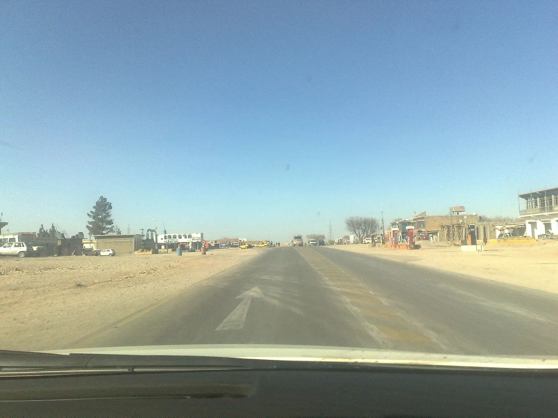
Photo: Najamuddin Shahwani, with thanks · CC BY 3.0 · via Wikimedia Commons · temporary stand-in photo

Surab
Valley town at the junction of the N-25 and N-85 highways, headquarters of Surab District, created in 2017.
Overview
Surab is the headquarters of Surab District and Surab Tehsil. It lies in a valley of the Central Brahui Range at about 1,771 m (Wikipedia), at the junction of the N-25 and N-85 national highways, in Kalat Division. Surab District was created on 1 August 2017 from Kalat District and was earlier called Shaheed Sikandarabad District.
The 2023 census counted 36,468 people in the town (CityPopulation.de; Wikipedia gives 35,594 in 2017 and 11,148 in 1998), out of 279,038 in the district (Wikipedia). About 87 per cent of the district lives in rural areas.
It is a small, lightly developed town. Wikipedia reports a militant attack here on 30 May 2025, in which a local official was killed and a bank looted.
Plan your visit
- Getting there
Road: Khuzdar about 97 km (about 1 hour 10 minutes); Quetta about 213 km (about 2 hours 35 minutes) (OSRM, checked 16 November 2026). Rail and air: none. More
Best months
Apr – May, Sep – Oct
The district and its people
The district has five tehsils: Surab, Zehri, Shaheed Meharabad Zehri, Gidder and Dasht-e-Goran. Brahui is the first language of about 97 per cent of residents and Balochi of about 3 per cent. Wikipedia describes the area as largely tribal and names the Muhammad Hassani tribe among the main tribes. Literacy is low: 37.4 per cent overall at the 2023 census, 45.2 per cent for men and 29.6 per cent for women.
What to see and do
No visitor sights are documented for Surab. It is a junction town, useful mainly as a stop between Quetta, Khuzdar and the Makran roads.
The roads from Surab
Surab is the point where the N-85 leaves the N-25.
- N-25 (Karachi to Quetta and Chaman). The road page for the N-25 on this site places Surab about 477 km from Karachi. North to Kalat is about 73 km (about 55 minutes, OSRM estimate), and on to Quetta. South-west lies Khuzdar, about 97 km away.
- N-85 (Surab to Hoshab). The road runs south-west through Basima, Nag and Panjgur to Hoshab, near Turbat. A Times of Islamabad report gives the length as 449 km, which matches an OSRM estimate of about 5 hours 30 minutes without stops. Wikipedia lists a longer figure of 487 km. Towns on it are small and far apart.
When to visit
Spring and autumn are most pleasant. Winters are cold.
Where to stay and eat
Services are those of a district headquarters: expect a government hospital, pharmacies, fuel stations, banks or ATMs and basic guesthouses or hotels in the main bazaar. No verified list of facilities or businesses exists, so confirm before relying on any of them, and carry cash and fuel.
Good to know
Khuzdar is about 97 km (1 hour 10 minutes) and Quetta about 213 km (2 hours 35 minutes) by road (OSRM, checked 16 November 2026, optimistic). Buses and vans use the N-25.
Ask the district administration or local police about current conditions before you go. Safety: For foreign visitors: the UK FCDO advises against all travel to Balochistan, including Quetta and Ziarat (page updated 27 October 2026; checked 16 November 2026). Visiting as a tourist is not recommended. If you live here or have essential business, follow current guidance from the provincial authorities and your embassy, expect checkpoints, and do not rely on this page for planning. The FCDO also notes an ongoing risk of terrorism across Pakistan.
Highlights
- Junction of two national highways
- District headquarters since 2017
- Brahui-speaking valley town
Getting there
Road: Khuzdar about 97 km (about 1 hour 10 minutes); Quetta about 213 km (about 2 hours 35 minutes) (OSRM, checked 16 November 2026). Rail and air: none.
Hotels, food, fuel and services in Surab
Places to eat
- New Karachi Restaurant & Hotel Main RCD Road District Surab BalochistanCall New Karachi Restaurant & Hotel Main RCD Road District Surab BalochistanMap of New Karachi Restaurant & Hotel Main RCD Road District Surab Balochistan in Google Maps
- Zehri BakeryCall Zehri BakeryMap of Zehri Bakery in Google Maps
Essential services fuel stations and ATMs
Fuel
- Ali Petroleum Service Surab and Ali Hotel and Resturent SurabCall Ali Petroleum Service Surab and Ali Hotel and Resturent SurabMap of Ali Petroleum Service Surab and Ali Hotel and Resturent Surab in Google Maps
- Dera ismail khan petroleumMap of Dera ismail khan petroleum in Google Maps
- Fuel StationMap of Fuel Station in Google Maps
- ShellMap of Shell in Google Maps
- Surab Balochistan Mir Shafi GurginariMap of Surab Balochistan Mir Shafi Gurginari in Google Maps
- Khyber Azam Afridi Petroleum ServiceCall Khyber Azam Afridi Petroleum ServiceMap of Khyber Azam Afridi Petroleum Service in Google Maps
ATMs
- National Bank ATMMap of National Bank ATM in Google Maps
Listings come from Google Maps data and are unverified: phone numbers, opening months and prices may have changed. Report a problem · Own one of these? Claim it
Tips
- Plan fuel and food before long stretches.
- Check road security before travel.
Photos we still need: Brahui Range landscape around Surab. Send us yours
Sources and last checked
Last checked Confidence medium5 sources4 still to check
- Last checked
- Method
- Desk research from published sources
- Confidence
- medium
- Checked by
- trek.pk research team
Researched from published sources; not yet checked on the ground by our team. Spot something out of date? Report a mistake.
Sources
- Surab, Pakistan · Wikipedia · checked
- Surab District · Wikipedia · checked
- Balochistan: major cities, municipalities and towns, 2023 census (from Pakistan Bureau of Statistics) · CityPopulation.de · checked
- OSRM driving routes (road distances and times) · Project OSRM / OpenStreetMap · checked
- Pakistan travel advice (updated 27 October 2026) · UK Foreign, Commonwealth & Development Office · checked
Still to be checked on the ground (4)
- Highway numbers (Wikipedia gives N-25 and N-85; not checked against NHA)
- Services and lodging
- Road security
- Surab to Kalat distance is an OSRM estimate (about 73 km, 54 minutes, checked 17 November 2026)
Nearby and related

Balochistan
Pakistan's largest and least populated province: Quetta's high valleys, Ziarat's juniper forest, the Makran coast, Hingol and Gwadar. Security and permission rules need checking first.

Quetta
Balochistan's high-valley capital, the Fruit Garden of Pakistan: bazaars, sajji, orchard valleys and the base for Hanna Lake and Ziarat.

Khuzdar
The main city of central Balochistan, once the Jhalawan capital of the Khanate of Kalat, at about 1,237 m on the road between Quetta and Karachi.