

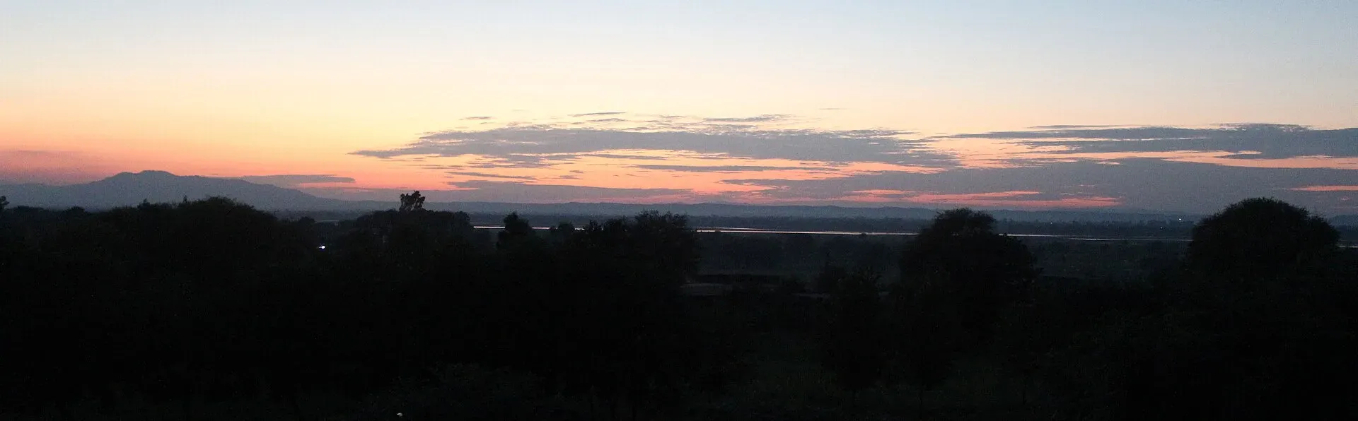
Photo: Tilla Jogian, with thanks · CC BY-SA 3.0 · via Wikimedia Commons · temporary stand-in photo

Tilla Jogian (Jogi monastery and hill), Jhelum
The highest hill of the eastern Salt Range (about 975 m), crowned by an abandoned Hindu temple and Kanphata jogi monastery complex about 25 km west of Jhelum.
Overview
Tilla Jogian is a forested hill in the Salt Range, Jhelum District, Punjab, about 25 km west of Jhelum and Dina. The name means hill of the jogis (yogis). It is also called Balnath Tilla, Gorakh Tilla and Jogi Tilla. At about 975 m it is the highest peak of the eastern Salt Range. On its summit stands an abandoned Hindu temple and monastic complex, once the main centre of the Kanphata jogi order. It is also part of the Tilla Reserve National Park (see Tilla Reserve National Park).
Plan your visit
- Nearest town
- Jhelum
- Getting there
Tilla Jogian is about 25 km west of Jhelum and Dina (Wikipedia). The most common route starts at Bhet village on the north side; other trails start near Rohtas Fort and at Sanghoi. Ask locally for the path. More
Best months
Oct – Mar
- Tilla Jogian (Jogi monastery and hill), Jhelum
- Related places nearby: Tilla Reserve National Park, Rohtas Fort, Dina, Jhelum
History
The Kanphata order is traced to Guru Gorakhnath. After his death it split: the Natesri stayed at Tilla Jogian and the Darya moved to the Punjab plains. Guru Nanak is reported to have meditated here for forty days in the early 1500s, a story traced to the Miharban Janamsakhi. The emperor Akbar visited the shrine of Balnath, and his chronicler Abul Fazl wrote that it was so old its origins had become obscure. Jahangir also visited. Ahmad Shah Abdali sacked the complex and it was rebuilt afterwards. Maharaja Ranjit Singh later built a stone-lined pond and a small monument marking Guru Nanak's meditation spot. Under British rule the deputy commissioner built a bungalow on the hill.
Before 1947 an annual festival was held on the first day of Chaitra, with communal meals, and the site was the most important jogi pilgrimage site in Punjab. The last priest, Samandnath Jogi, left for Kangra after the riots that followed Partition; the temple's belongings were later auctioned.
What is on the hill
The complex has Hindu temples, at least three bathing tanks, two cupolas with descending stairs, and a network of water works with at least two small dams. The temple tank dates from Ranjit Singh's time. Near the top an old stone path, the Poorhiwaala Rah, passes the Ratti Banni ravine before reaching the temples. Before Partition the path was well kept, and women made the climb by mule and horse. Today it is breaking up.
The summit is heavily forested with olive, pine and Acacia modesta (phulai). Olive trees have grown over the ruins and are slowly damaging them. Wikipedia reports the complex is privately owned and not officially protected, that villagers have searched it for coins and souvenirs, and that vandals damaged the Ranjit Singh monument.
What to see and do
- The temples and ruins. Look but do not remove anything.
- The climb. The most common route starts at Bhet village and climbs about 3 km and nearly 500 m. See the Tilla Jogian Trail page for the route.
- Views. The hills are seen from Rohtas Fort and across the Jhelum River. The Salt Range's cooler, wetter climate compared with the plains is noted on Wikipedia.
When to visit
October to March is the comfortable season (an estimate). Summers are hot.
Getting there
From Jhelum or Dina, head west towards Bhet village on the north side. Other trails start near Rohtas Fort and at Sanghoi, on the Jhelum River side. No developed paths lead to the complex; ask locally for the start. Wikipedia notes that motorbikes use dirt trails to the top, so expect rough tracks.
Where to stay and eat
Hotels and restaurants are in Jhelum and Dina. No facilities at the hill are verified.
Good to know
- Access. The site is not protected and is privately owned (Wikipedia). Check locally before you go.
- Water. Carry all you need.
- Respect. Treat the site as a place of worship and history.
- Travel advice. For foreign visitors: the UK FCDO Pakistan page (updated 27 October 2026, checked 17 November 2026) does not name Jhelum district.
- Fees. None found.
Highlights
- Highest peak of the eastern Salt Range, about 975 m
- Abandoned Kanphata jogi temple complex
- Linked with Guru Nanak and Guru Gorakhnath
- Views towards Rohtas Fort and the Jhelum River
Tips
- Start early and take water
- Do not take or damage anything at the ruins
- Wear shoes with grip for loose stone
- Combine with Rohtas Fort
Photos we still need: the Ranjit Singh tank or the Bhet trail. Send us yours
Sources and last checked
Last checked Confidence medium3 sources6 still to check
- Last checked
- Method
- Desk research from published sources
- Confidence
- medium
- Checked by
- trek.pk research team
Researched from published sources; not yet checked on the ground by our team. Spot something out of date? Report a mistake.
Sources
- Tilla Jogian (Wikipedia) · Wikipedia · checked
- Tilla Jogian · Department of Archaeology and Museums, Punjab · checked
- Pakistan travel advice: warnings and insurance (updated 27 October 2026) · UK Foreign, Commonwealth & Development Office · checked
Still to be checked on the ground (6)
- Current ownership and access to the complex
- Condition of the temples
- Starting point and path from Bhet
- Whether park rules apply on the hill
- Date of the complex: Wikipedia's infobox says 9th century CE but a photo caption says 1st century BCE
- The hero photo (Jogian hills at sunset) is shared with other pages; a photo of the summit complex would suit this page better
Nearby and related

Tilla Jogian Trail
Tilla Reserve National Park
A national park in the eastern Salt Range in Jhelum District, Punjab, notified in 2021. It takes in the Tilla Jogian ridge. Size figures differ between sources.

Rohtas Fort
A huge 16th-century fort of Sher Shah Suri near Jhelum, with four kilometres of walls, monumental gates and a village still living inside. UNESCO inscribed it in 1997.
Dina
Army-linked town on the Grand Trunk Road in Jhelum District, at the junctions for Rohtas Fort and Mangla Dam.

Jhelum
Grand Trunk Road city on the Jhelum River, 23 km from Rohtas Fort (UNESCO), about 30 km from Mangla Dam and about 116 km from Islamabad.