

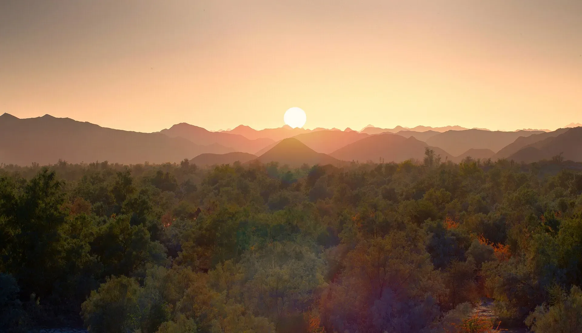
Photo: Yasir Dora, with thanks · CC BY-SA 4.0 · via Wikimedia Commons · temporary stand-in photo

Turbat
The largest city of southern Balochistan, a date-growing oasis on the Kech River and former Makran capital, among the hottest places on earth.
Overview
Turbat is the largest city in southern Balochistan and the second-largest in the province after Quetta. It lies on the left bank of the Kech River, a tributary of the Dasht, below the Makran Range. It is the headquarters of Kech District and stands at about 129 m. The city covers about 420 km2.
The 2023 census counted 268,625 people in the city (CityPopulation.de, compiled from the Pakistan Bureau of Statistics). Wikipedia lists earlier counts of 52,337 in 1981 and 213,557 in 2017, so growth has been fast. Balochi is the mother tongue of 98.8 per cent of residents.
Plan your visit
- Getting there
Road: Gwadar about 163 km (about 2 hours); Karachi about 563 km (about 7 hours 45 minutes). Air: Turbat International Airport. Rail: none. More
Best months
Nov – Feb
- Turbat
- Related places nearby: Sassi Punnu Fort, Kech River, Mirani Dam
History and legend
Wikipedia says that in the 12th century the area, including what is now Iranian Makran, was ruled by Prince Punnu (Mir Dosthein), his father and his uncles. Punnu is the hero of the love story Sassi Punnun, which gives Turbat a special place in Baloch folklore. The remains of Punnu's fort can still be seen in the city; see Sassi Punnu Fort. The name is often translated as "place of lovers", although Wikipedia marks that claim as needing a source.
About 400 years ago the Gichki and Buledi tribes ruled the area. Turbat became the capital of the princely state of Makran under British India, and the Nawab of Makran lived at Shahi Tump nearby. After the state ended, Turbat stayed a division headquarters.
Climate
Turbat is among the hottest places in South Asia. A temperature of 53.7 degrees Celsius, verified by the World Meteorological Organization, was recorded on 28 May 2017, one of the highest readings ever measured on Earth. The city has also recorded 53.5 degrees at other times.
What to see and do
- Remains of Punnu's fort: still visible in the city, linked to the Sassi Punnun legend.
- Shahi Tump: the former seat of the Nawab of Makran, near the city.
- Meerani Dam: a reservoir near Turbat, a local outing spot. Check access and conditions. See also Mirani Dam.
- Date groves: dates are the city's best-known crop, and a processing factory stands in the town.
- The bazaars: busy and focused on dates, cloth and farm goods.
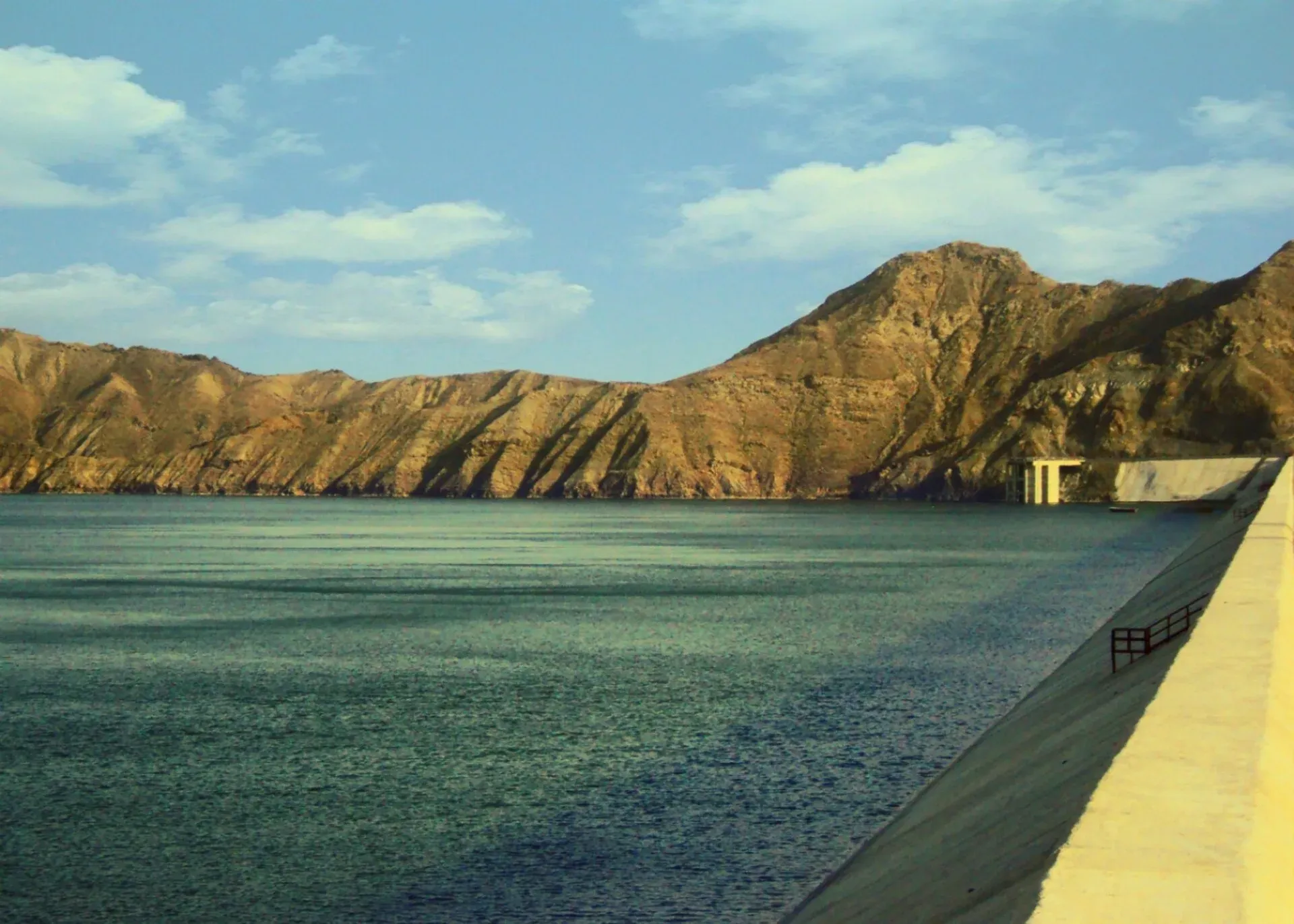
Photo: NasratGraphy.webs.com, with thanks · CC BY-SA 3.0 · via Wikimedia Commons · temporary stand-in photo

Food and bazaars
Dates are the speciality. Wikipedia also lists jowar (sorghum), barley, wheat and rice among local crops. Expect Makrani food: grilled and roasted meat, fish brought in from the coast, flatbread and strong tea. We have no verified restaurant or market list, so ask locals.
Education
Turbat has the University of Turbat, Makran Medical College and a campus of the Balochistan University of Engineering and Technology.
Getting there
- Road: Gwadar is about 163 km and 2 hours by road, and Karachi about 563 km and 7 hours 45 minutes (OSRM, checked 16 November 2026). Wikipedia lists roads from Turbat to Kalat and Quetta in the north-east, to Gwadar and Pasni in the south, to Chabahar and Iranshahr in Iran in the west, and to Karachi in the east. The M-8 motorway links Turbat with Gwadar and Hoshab; see M-8 Ratodero-Gwadar Motorway.
- Air: Turbat International Airport was upgraded in November 2023 to take Airbus A320 and Boeing 737 aircraft. Before that only small aircraft and the ATR 72 could land. Wikipedia lists PIA and South Air to Karachi (its own text is inconsistent on whether PIA is the only airline), and The Express Tribune (17 July 2026) reports that South Air launched a Quetta to Turbat service around 16 July 2026. No frequencies were given. Schedules change, so check with the airline before planning.
- Rail: no rail service.
Getting around
Rickshaws and taxis serve the city. For anywhere beyond it, travel with a local driver.
Where to stay
Accommodation is limited. Look in the main town and bazaar area. Many travellers on official business use government guesthouses.
Day trips
Options are limited and depend on security. The coast, including Gwadar and Pasni, lies to the south; Gwadar is about 180 km south-west according to Wikipedia.
When to visit
Winter, from November to February, is the only comfortable period. Summers are extreme.
Safety
Ask the district administration or local police about current conditions before you go. For foreign visitors: the UK FCDO advises against all travel to Balochistan Province, with no exceptions listed (page updated 27 October 2026; checked 16 November 2026). We therefore do not recommend travelling here as a visitor. If you live in or have essential business in the area, follow current guidance from the provincial authorities and your embassy, and do not rely on this page for planning. The FCDO also notes an ongoing risk of terrorism across Pakistan.
Good to know
Heat can be dangerous from April to October. Carry water, avoid midday exposure and expect checkpoints.
Highlights
- Second-largest city in Balochistan
- Home of Punnu in the Sassi Punnun legend
- Date oasis in the Kech valley
- Hub airport and M-8 link to Gwadar
Hotels, food, fuel and services in Turbat
Places to eat
- Al Makkah Restaurant Kech Valley Housing SchemeCall Al Makkah Restaurant Kech Valley Housing SchemeMap of Al Makkah Restaurant Kech Valley Housing Scheme in Google Maps
Essential services fuel stations, mechanics, ATMs, banks, pharmacies and hospitals and clinics
Fuel
- Makran PetroleumMap of Makran Petroleum in Google Maps
- Gas StationMap of Gas Station in Google Maps
- S H Petroleum and Car Wash StationCall S H Petroleum and Car Wash StationMap of S H Petroleum and Car Wash Station in Google Maps
- MAMA PETROLEUM SERVICEMap of MAMA PETROLEUM SERVICE in Google Maps
- Khalid Moosa PumpCall Khalid Moosa PumpMap of Khalid Moosa Pump in Google Maps
- Pakistan State Oil Jet Fuel PumpMap of Pakistan State Oil Jet Fuel Pump in Google Maps
Mechanics and tyre shops
- Baloch Tyre Store TurbatCall Baloch Tyre Store TurbatMap of Baloch Tyre Store Turbat in Google Maps
- Al Rasheed Honda Centre TurbatCall Al Rasheed Honda Centre TurbatMap of Al Rasheed Honda Centre Turbat in Google Maps
- OK GarageCall OK GarageMap of OK Garage in Google Maps
ATMs
- Habib BankCall Habib BankMap of Habib Bank in Google Maps
- Askari Commercial Bank LimitedMap of Askari Commercial Bank Limited in Google Maps
- Bank AlfalahCall Bank AlfalahMap of Bank Alfalah in Google Maps
Banks and money exchange
- National Bank of Pakistan (NBP)Call National Bank of Pakistan (NBP)Map of National Bank of Pakistan (NBP) in Google Maps
- United Bank LimitedCall United Bank LimitedMap of United Bank Limited in Google Maps
- MCB BankCall MCB BankMap of MCB Bank in Google Maps
- Zarhai Tharqiathi BankCall Zarhai Tharqiathi BankMap of Zarhai Tharqiathi Bank in Google Maps
- Meezan Bank - Turbat BranchCall Meezan Bank - Turbat BranchMap of Meezan Bank - Turbat Branch in Google Maps
- Faysl BankMap of Faysl Bank in Google Maps
Pharmacies
- Anwar Medical StoreMap of Anwar Medical Store in Google Maps
- Iftikhar Medical StoreMap of Iftikhar Medical Store in Google Maps
- Sarfaraz Medical StoreMap of Sarfaraz Medical Store in Google Maps
- Adnan Medical Stoer Airport Road TurbatCall Adnan Medical Stoer Airport Road TurbatMap of Adnan Medical Stoer Airport Road Turbat in Google Maps
- Jalal Medical StoreCall Jalal Medical StoreMap of Jalal Medical Store in Google Maps
- Balochistan PharmacyCall Balochistan PharmacyMap of Balochistan Pharmacy in Google Maps
Hospitals and clinics
- TMC HospitalCall TMC HospitalMap of TMC Hospital in Google Maps
- DHQ HospitalMap of DHQ Hospital in Google Maps
- Kech HospitalCall Kech HospitalMap of Kech Hospital in Google Maps
- Old DHQ HospitalMap of Old DHQ Hospital in Google Maps
- BMC Hospital TurbatCall BMC Hospital TurbatMap of BMC Hospital Turbat in Google Maps
- Bismillah Medical CenterMap of Bismillah Medical Center in Google Maps
Listings come from Google Maps data and are unverified: phone numbers, opening months and prices may have changed. Report a problem · Own one of these? Claim it
Tips
- Visit only in winter if at all.
- Check flight schedules with the airline.
- Carry water and avoid the midday heat.
- Check security advice before any travel.
Photos we still need: Punnu's fort remains, date groves and Turbat bazaar. Send us yours
Sources and last checked
Last checked Confidence low6 sources6 still to check
- Last checked
- Method
- Desk research from published sources
- Confidence
- low
- Checked by
- trek.pk research team
Researched from published sources; not yet checked on the ground by our team. Spot something out of date? Report a mistake.
Sources
- Turbat · Wikipedia · checked
- City populations, 2023 census (compiled from Pakistan Bureau of Statistics) · CityPopulation.de · checked
- Turbat to Karachi flights and South Air launch (reports) · Tribune / Arab News / airline route data · checked
- OSRM driving routes (road distances and times) · Project OSRM / OpenStreetMap · checked
- Pakistan travel advice (safety and security; updated 27 October 2026) · UK Foreign, Commonwealth & Development Office · checked
- Turbat International Airport (Wikipedia) · Wikipedia · checked
Still to be checked on the ground (6)
- Current flight schedules and frequencies (Wikipedia: PIA and South Air to Karachi; Tribune 17 Jul 2026: South Air Quetta route launched; no timetable found)
- Meerani Dam location and access (Wikipedia has only a photo caption 'Mirani Dam' near Turbat; no location given)
- Shahi Tump and fort access (Wikipedia says the Nawab of Makran lived at Shahi Tump near Turbat and that Punnu's fort remains are visible in Turbat; no access information)
- Sights, food and hotels (little verified information)
- Road security (FCDO advises against all travel to Balochistan; no road-specific source found)
- Whether the 53.5 C reading Wikipedia mentions is a separate record (only the 28 May 2017 reading is WMO-verified)
Nearby and related

Balochistan
Pakistan's largest and least populated province: Quetta's high valleys, Ziarat's juniper forest, the Makran coast, Hingol and Gwadar. Security and permission rules need checking first.

Karachi
Pakistan's largest city and main port: colonial buildings, museums, beaches, busy bazaars and some of the country's best food.
Sassi Punnu Fort
An ancient mound and fort site on the Kech River, about 6 km north-west of Turbat in Makran. Excavated by a French mission in the 1990s; linked to the Sassui-Punnhu folk tale. In an area the UK FCDO advises against visiting.
Dasht River
An intermittent river of Makran, formed at Mirani Dam by the Kech and Nihing rivers. It runs to the Arabian Sea near Jiwani. Travel advice: FCDO advises against all travel to Balochistan.
Kech River
A seasonal river of the Kech Valley in Makran, on which Turbat stands. It joins the Nihing at Mirani Dam to form the Dasht. Travel advice: FCDO advises against all travel to Balochistan.
Mirani Dam
A dam on the Dasht River in Kech District, about 48 km west of Turbat, completed in 2006-07. It irrigates the Kech Valley and supplies water to Turbat and Gwadar. Balochistan is covered by FCDO advice against all travel.