

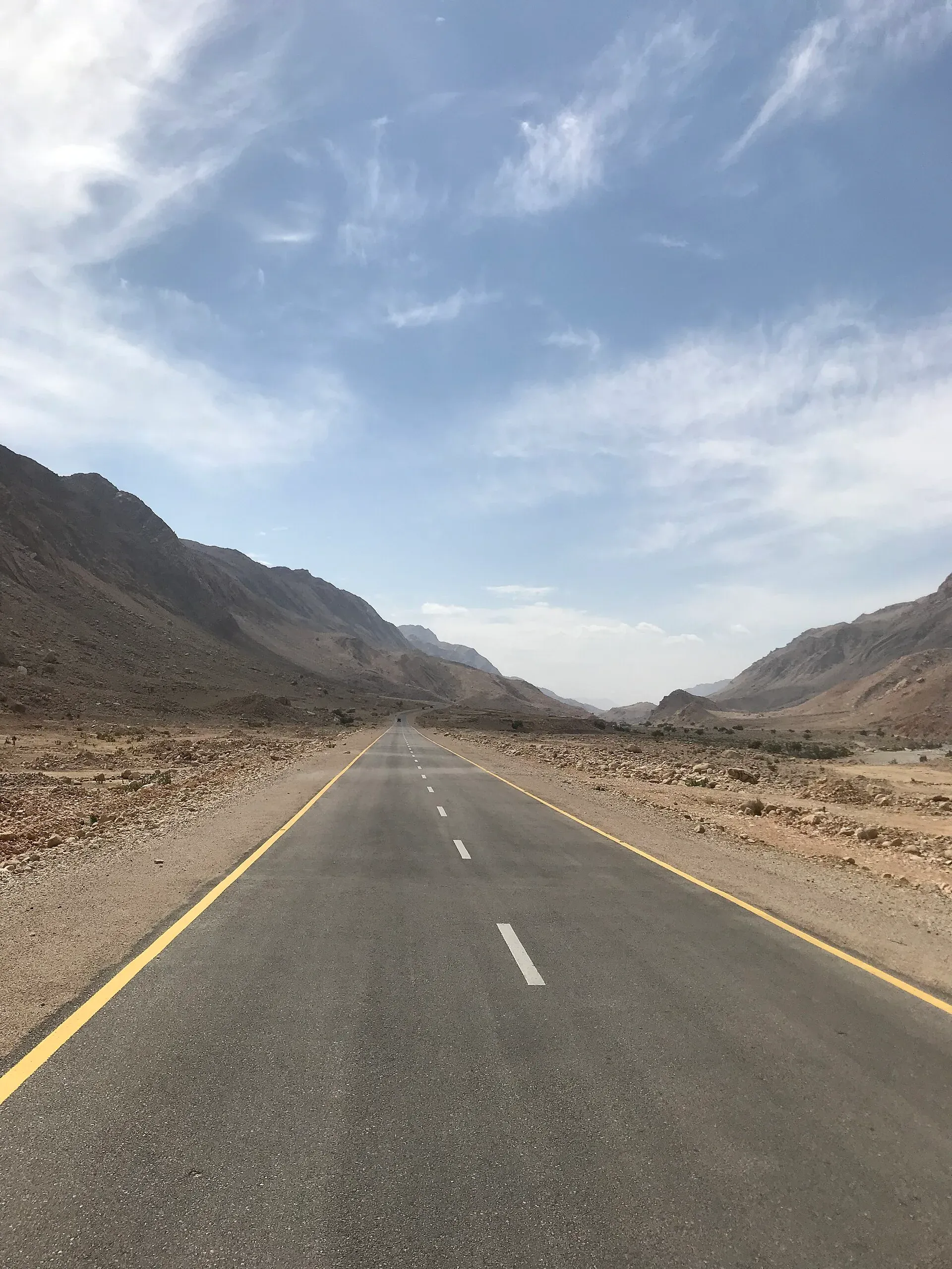
Photo: Shehzad.abbasi, with thanks · CC BY-SA 4.0 · via Wikimedia Commons · temporary stand-in photo

M-8 Ratodero-Gwadar Motorway
The M-8 is a partly built 892 km road from Ratodero in Sindh through Khuzdar, Awaran and Turbat to Gwadar. The Hoshab-Awaran-Khuzdar gap is not complete. For foreign visitors: the UK FCDO advises against all travel to Balochistan.
The journey
Last verified: 17 November 2026.
Read this first
For foreign visitors: the UK FCDO (updated 27 October 2026, checked 16 November 2026) advises against all travel to Balochistan, and against all but essential travel to Sindh north of and including Nawabshah, where Ratodero lies. We list the M-8 for completeness, not as a recommended route.
Status
The M-8 is partly open. Its length is 892 km (Wikipedia, and Dawn on 3 June 2026). The 870 km figure comes from a 2015 report on construction progress and is not a different total. Construction began on 15 October 2004. The Gwadar to Hoshab section (193 km, two lanes) was inaugurated in February 2016. The Ratodero to Khuzdar section is reported as operational, apart from a difficult stretch about 70 km east of Khuzdar over the northern Kirthar range. The Hoshab to Awaran to Khuzdar section is the gap. Funding was approved in 2020 and in June 2026 the federal budget reportedly set aside Rs4.5 billion for the Hoshab-Awaran stretch. A contract for Awaran to Naal has also been reported, with no date on the article we saw. Wikipedia says no completion timeline is available. Treat all status reports as unconfirmed. Available sources are mostly news items without clear dates, and they disagree on which sections are funded, awarded or finished.
Route and stops
The road leaves the N-55 area at Ratodero, runs west via Shahdadkot, Khuzdar (N-25), Awaran, Hoshab and Turbat, and joins the Makran Coastal Highway (N-10) east of Gwadar. It crosses the Dasht River and passes near the Mirani Dam, and it forms part of the central route of the China-Pakistan Economic Corridor (CPEC). It was planned as four lanes and has been built as two, with two more to be added later.
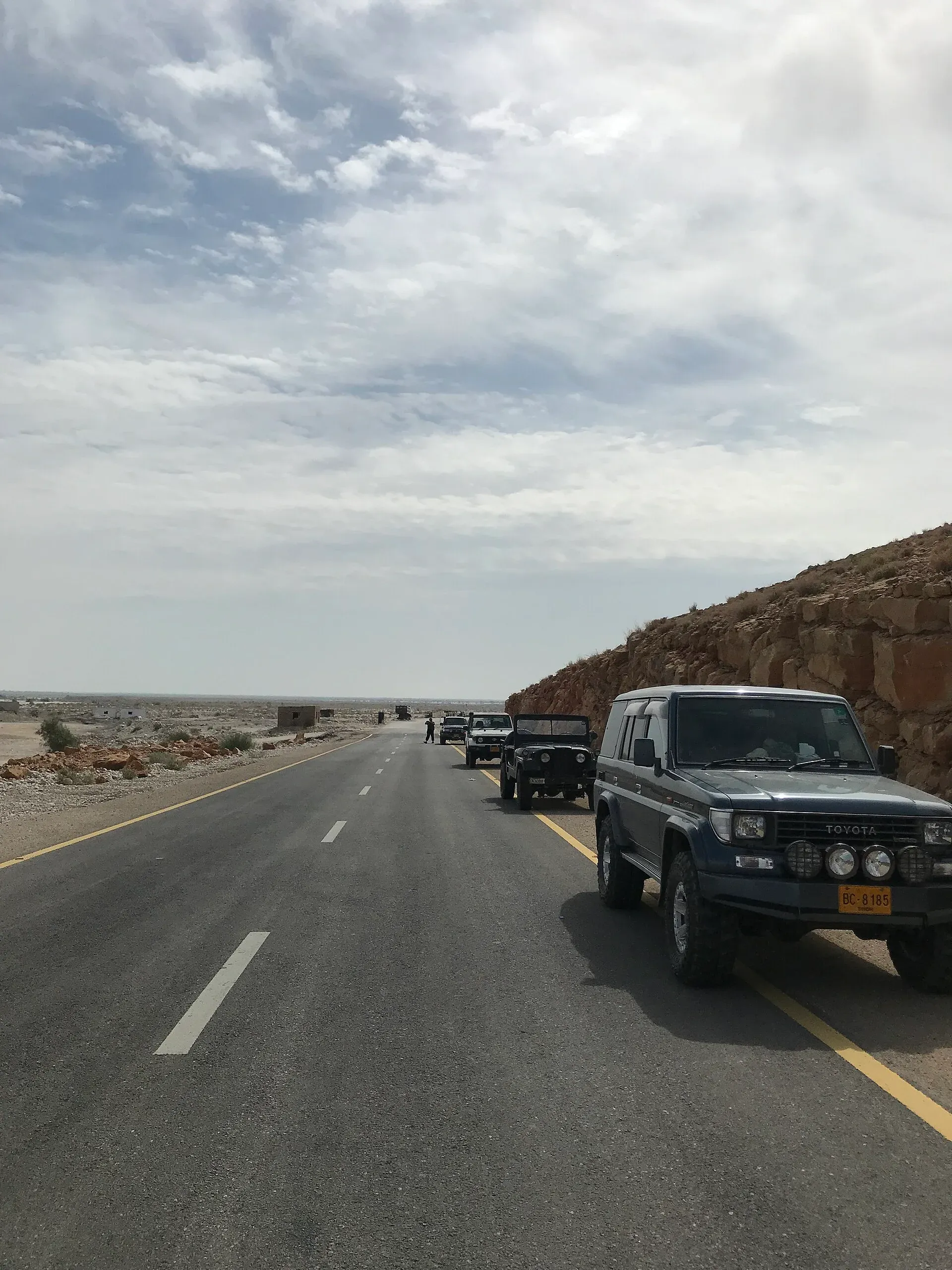
Photo: Shehzad.abbasi, with thanks · CC BY-SA 4.0 · via Wikimedia Commons · temporary stand-in photo

Wikipedia gives two section lengths: Gwadar to Hoshab is 193 km, and Hoshab to Awaran to Khuzdar is 146 km. Counting back from the 892 km total, that puts Hoshab about 699 km and Khuzdar about 553 km from Ratodero. These are derived figures, not signed distances. Wikipedia lists no kilometre markers. Between Hoshab and Gwadar the M-8 follows the older N-85 alignment, and in 2015 the road was reported complete there except for some bridges.
What the road passes
- Ratodero and Shahdadkot (Sindh). The flat Indus plain, before the road climbs into the hills.
- The northern Kirthar range. About 70 km east of Khuzdar the road crosses the northern Kirthar range. This is the section described as difficult.
- Khuzdar. Headquarters of Khuzdar District at 1,237 m, at the top of a narrow valley. It was the main city of Jhalawan in the Khanate of Kalat. Wikipedia gives its 2023 population as 218,112, the third largest in Balochistan. Rainfall is low and erratic, mostly in July and August.
- Awaran and Hoshab. These lie on the section that is not finished.
- Turbat. Headquarters of Kech District, at 129 m on the left bank of the Kech River. It is among the hottest cities in South Asia: Wikipedia cites a reading of 53.7 degrees Celsius on 28 May 2017. Date palms grow in the neighbourhoods, and dates are the town's best-known product. Its 2023 population was 268,625, the second largest city in Balochistan after Quetta. Wikipedia links the remains of a fort to the Sassi and Punnu legend. Gwadar port is about 180 km south-west.
- Gwadar. The western end, on the Makran Coast.
Tolls and M-Tag
Wikipedia says the Hoshab to Gwadar section is untolled and that the M-8 is the only operational Pakistani motorway without M-Tag. We have not confirmed this from the NHA. Current fees, if any, will be added soon.
Fuel and services
Distances between fuel stops are long and facilities are basic. Dawn (3 June 2026) described the M-8 and the N-10 as new and smooth but short of rest stops, food and water, and said night-time public transport is often banned during threats of violence. Carry fuel, water and spares. Mobile coverage is patchy in places.
Weather
Summers are very hot in Makran. Flash floods can cut roads after heavy rain. Check PMD and local advice.
Safety
Do not travel here on the strength of this page. Follow the FCDO advice, check with local authorities and the Motorway Police (130 on NHA roads) and travel only in daylight with local knowledge.
What to see near Gwadar
Gwadar and Hingol National Park lie along the coast, reached more usually from Karachi on the Makran Coastal Highway. See that route page for the coast road and the latest advice.
Highlights
- 892 km planned, partly open
- Gwadar-Hoshab section inaugurated February 2016
- Middle section still unfinished
- FCDO: against all travel to Balochistan
Stops
- RatoderoEastern end, Sindh
- ShahdadkotTown on the route
- KhuzdarJunction with the N-25; about 553 km from Ratodero (derived)
- AwaranTown on the unfinished section
- HoshabStart of the open Gwadar section; about 699 km (derived)
- TurbatTown on the route
- GwadarWestern end; joins the Makran Coastal Highway
km: distance from the start along the route.
Numbers follow the stops in order. The map shows the 4 stops that have a trek.pk page, not the road itself.
Road conditions
Two lanes where built. The Hoshab-Awaran-Khuzdar middle section is under development.
Where to stay, eat and fuel up
Places to stay
- Zaver Pearl Continental HotelCall Zaver Pearl Continental HotelMap of Zaver Pearl Continental Hotel in Google Maps
- Sadaf ResortCall Sadaf ResortMap of Sadaf Resort in Google Maps
- PC Hotel GwadarCall PC Hotel GwadarMap of PC Hotel Gwadar in Google Maps
- Sahil Guest HouseCall Sahil Guest HouseMap of Sahil Guest House in Google Maps
- Gwadar Business CenterCall Gwadar Business CenterMap of Gwadar Business Center in Google Maps
- Makkah Hotel KhuzdarCall Makkah Hotel KhuzdarMap of Makkah Hotel Khuzdar in Google Maps
Places to eat
- Awaami RestaurantCall Awaami RestaurantMap of Awaami Restaurant in Google Maps
- New Quetta Shinwari HotelCall New Quetta Shinwari HotelMap of New Quetta Shinwari Hotel in Google Maps
- Sarena Hotel Main RCD Road KhuzdarCall Sarena Hotel Main RCD Road KhuzdarMap of Sarena Hotel Main RCD Road Khuzdar in Google Maps
- Taj Mahal Hotel Chamrok KhuzdarMap of Taj Mahal Hotel Chamrok Khuzdar in Google Maps
- Asia BakeryCall Asia BakeryMap of Asia Bakery in Google Maps
- Cafe PadizirCall Cafe PadizirMap of Cafe Padizir in Google Maps
Essential services fuel stations, mechanics, ATMs, banks, pharmacies and hospitals and clinics
Fuel
- Koshak PSO Petrol PumpCall Koshak PSO Petrol PumpMap of Koshak PSO Petrol Pump in Google Maps
- Pakistan State Oil (PSO)Call Pakistan State Oil (PSO)Map of Pakistan State Oil (PSO) in Google Maps
- PSO Petrol PumpMap of PSO Petrol Pump in Google Maps
- Makkah Petroleum Service Attock Company .Call Makkah Petroleum Service Attock Company .Map of Makkah Petroleum Service Attock Company . in Google Maps
- Hascol Petrol StationMap of Hascol Petrol Station in Google Maps
- Makran PetroleumMap of Makran Petroleum in Google Maps
Mechanics and tyre shops
- Baloch Tyre Store TurbatCall Baloch Tyre Store TurbatMap of Baloch Tyre Store Turbat in Google Maps
- Al Rasheed Honda Centre TurbatCall Al Rasheed Honda Centre TurbatMap of Al Rasheed Honda Centre Turbat in Google Maps
ATMs
- United Bank LimitedMap of United Bank Limited in Google Maps
- Habib Bank LtdCall Habib Bank LtdMap of Habib Bank Ltd in Google Maps
- National Bank Of Pakistan (NBP)Call National Bank Of Pakistan (NBP)Map of National Bank Of Pakistan (NBP) in Google Maps
- Bank Al HabibMap of Bank Al Habib in Google Maps
- Bank AlfalahCall Bank AlfalahMap of Bank Alfalah in Google Maps
- Allied Bank Ltd. (ABL)Call Allied Bank Ltd. (ABL)Map of Allied Bank Ltd. (ABL) in Google Maps
Banks and money exchange
- National Bank of Pakistan (NBP)Call National Bank of Pakistan (NBP)Map of National Bank of Pakistan (NBP) in Google Maps
- United Bank LimitedCall United Bank LimitedMap of United Bank Limited in Google Maps
- MCB BankCall MCB BankMap of MCB Bank in Google Maps
- Meezan Bank - Khuzdar BranchCall Meezan Bank - Khuzdar BranchMap of Meezan Bank - Khuzdar Branch in Google Maps
- United Bank LimitedCall United Bank LimitedMap of United Bank Limited in Google Maps
- Meezan Bank - Airport Road BranchCall Meezan Bank - Airport Road BranchMap of Meezan Bank - Airport Road Branch in Google Maps
Pharmacies
- Anwar Medical StoreMap of Anwar Medical Store in Google Maps
- Iftikhar Medical StoreMap of Iftikhar Medical Store in Google Maps
- Sunil Medical storeCall Sunil Medical storeMap of Sunil Medical store in Google Maps
- Sheeraz Medical & General Store RatoderoCall Sheeraz Medical & General Store RatoderoMap of Sheeraz Medical & General Store Ratodero in Google Maps
- Sarfaraz Medical StoreMap of Sarfaraz Medical Store in Google Maps
Hospitals and clinics
- Jhalawan HospitalMap of Jhalawan Hospital in Google Maps
- TMC HospitalCall TMC HospitalMap of TMC Hospital in Google Maps
- Civil Hospital GwadarMap of Civil Hospital Gwadar in Google Maps
- DHQ HospitalCall DHQ HospitalMap of DHQ Hospital in Google Maps
- DHQ HospitalMap of DHQ Hospital in Google Maps
- THQ RatoderoMap of THQ Ratodero in Google Maps
Listings come from Google Maps data and are unverified: phone numbers, opening months and prices may have changed. Report a problem · Own one of these? Claim it
More safety notes
For foreign visitors: the UK FCDO advises against all travel to Balochistan.
Tips
- Read the FCDO advice first
- Do not rely on status reports
- Carry fuel and water
Photos we still need: Khuzdar and the northern Kirthar section of the M-8. Send us yours
Sources and last checked
Last checked Confidence low10 sources5 still to check
- Last checked
- Method
- Desk research from published sources
- Confidence
- low
- Checked by
- trek.pk research team
Researched from published sources; not yet checked on the ground by our team. Spot something out of date? Report a mistake.
Sources
- M-8 motorway (Pakistan) · Wikipedia · checked
- National Highway Authority (official site; toll chart page could not be opened from our connection) · Government of Pakistan · checked
- National Highways and Motorway Police (helpline 130) · Government of Pakistan · checked
- Pakistan restores motorway speed limits to 120 km/h · DrivePK · checked
- Motorway Police begin fines for new speed limits on M2 · Dunya News · checked
- Construction of Ratodero-Gwadar Motorway (M-8) Hoshab-Khuzdar section · Zameen News · checked
- Pakistan travel advice (updated 27 October 2026) · UK FCDO · checked
- If you need to use the loo on the way to Turbat (3 Jun 2026) · Dawn · checked
- Turbat · Wikipedia · checked
- Khuzdar · Wikipedia · checked
Still to be checked on the ground (5)
- Status of the Hoshab-Awaran-Khuzdar section: ECNEC approved Rs26bn on 16 July 2020 and contracts for Awaran to Naal were reported in 2021 to 2022; there is no 2026 progress report
- Toll and M-Tag status (Wikipedia only; the NHA page could not be opened)
- Condition and security on the road (on the ground; Dawn June 2026 says the built parts are smooth but have few facilities)
- Km markers (none found in any source)
- Km figures for Khuzdar (about 553) and Hoshab (about 699) are derived from Wikipedia's section lengths (193 km and 146 km) and the 892 km total; no signed distances found
Nearby and related

Gwadar
Arabian Sea port town and Gwadar District headquarters, a fishing settlement that Pakistan bought from Oman in 1958 and now a CPEC port.

Khuzdar
The main city of central Balochistan, once the Jhalawan capital of the Khanate of Kalat, at about 1,237 m on the road between Quetta and Karachi.

Turbat
The largest city of southern Balochistan, a date-growing oasis on the Kech River and former Makran capital, among the hottest places on earth.
Awaran
Small district headquarters town in south-central Balochistan, in the dry country between Khuzdar and the Makran coast. Not a visitor destination; the FCDO advises against all travel to Balochistan.

Karachi, Makran Coastal Highway and Gwadar
A reference page for the 632 km Makran Coastal Highway (N-10) from Karachi to Gwadar. For foreign visitors: the UK FCDO advises against all travel to Balochistan, and night travel is restricted on the road. Not recommended without current local advice.