

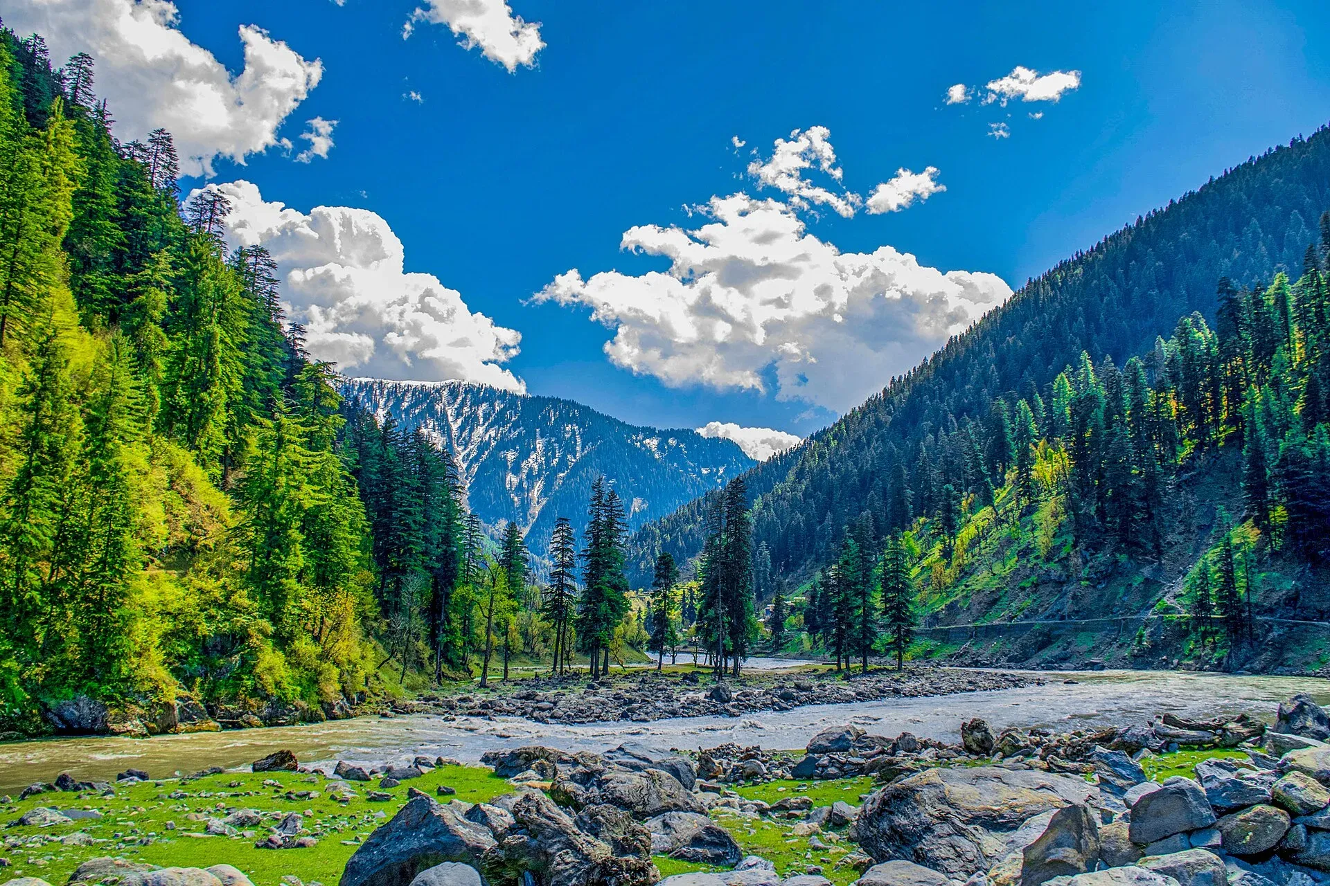
Photo: Umar Jamshaid, with thanks · CC BY-SA 3.0 · via Wikimedia Commons · temporary stand-in photo

Upper Neelum (viewpoint above Kel)
A village and viewpoint area in the upper Neelum Valley above Kel, Azad Kashmir, very close to the Line of Control. Little is documented; foreign visitors are advised against travel within 10 miles of the line.
Read this first: Line of Control
Upper Neelum is very close to the Line of Control. For foreign visitors, the UK FCDO (updated 27 October 2026, still current when checked on 17 November 2026) advises against all travel within 10 miles of the Line of Control and against all but essential travel to Azad Jammu and Kashmir. The FCDO page also reports demonstrations in Azad Kashmir, with road closures and mobile and internet shutdowns. Upper Neelum falls inside the 10-mile zone, so this page is for information only and does not recommend travel. Ask the district administration or local police about current conditions and any checkpoints before you plan anything.
Plan your visit
- Nearest town
- Kel
- Getting there
The Neelum Valley road runs from Muzaffarabad to Kel, about 150 km by road (OSRM, 17 Nov 2026; times are optimistic). Upper Neelum lies above Kel. We have no verified route or distance from Kel to the viewpoint. More
Best months
Jun – Oct
- Upper Neelum (viewpoint above Kel)
- Related places nearby: Kel Camping (Neelum), Arang Kel, Neelum Valley
Overview
Upper Neelum is the upper part of the Neelum Valley in Neelum District, Azad Jammu and Kashmir. It is a village and viewpoint area above Kel, the road head for Arang Kel. The Line of Control runs through the valley, sometimes along the river, and some villages sit on it. Before 1947 the valley was called Kishanganga. It is said to have been renamed after the village of Neelam, about 12 km upstream of Athmuqam. Another explanation links the name to the sapphire colour of the river.
Very little reliable visitor information exists for the viewpoint itself. There is no verified height, exact position, path or facilities for it.
The valley
The Neelum River flows from the Gurez valley in Indian-administered Kashmir and joins the Jhelum at Muzaffarabad. The valley is about 144 km long, between roughly 1,200 and 2,300 m in height. Neelum District was part of Muzaffarabad District until 2005 and was among the worst-hit areas of the 2005 earthquake. Cross-border firing since the early 1990s led many people to leave the Line of Control villages of Dhaki and Changnar. Different Shina-speaking communities live around Taobutt and Karimabad (formerly Sutti) and at Phulwei, and Pashto speakers live at Dhaki and Changnar.
What to see
- Valley views. Wooded slopes, the Neelum River far below and ridges along the border, as seen elsewhere in the upper valley.
- Nearby places. Kel and Arang Kel have their own pages. Arang Kel is reached by chairlift and a steep climb from Kel.
Kel
Kel stands at about 2,097 m. It has a bazaar, a bank branch, degree colleges and a tehsil hospital (Wikipedia). Private hotels and a rest house run by the AJK Tourism and Archaeology Department serve visitors, and buses run daily between Muzaffarabad and Kel.
When to visit
Our general estimate, not an official figure: June to October. Heavy snow closes upper roads from about December to March, and monsoon landslides can cut the road to Kel.
Getting there
The road from Muzaffarabad up the Neelum Valley leads to Kel, about 150 km away by road (OSRM, 17 November 2026, an optimistic estimate; real journeys are longer). There is no verified route from Kel to the viewpoint. Foreign visitors should not attempt this without checking the FCDO page and local rules.
Where to stay and eat
Kel has guesthouses and the rest house described above. See the Kel camping page. No facilities are confirmed at the viewpoint.
Good to know
- Respect. Dress modestly and ask before photographing homes or people. Follow local guidance near the border.
- Signal. Mobile coverage may be poor or shut down.
- Fees. Any charges are not confirmed here.
Highlights
- Upper part of the Neelum Valley above Kel
- Views over the river and border ridges
- Very close to the Line of Control
- Few verified visitor details
Tips
- Read the FCDO advice before planning
- Ask local police about checkpoints
- Carry cash and water
- Visit Kel and Arang Kel first
Photos we still need: the Upper Neelum viewpoint. Send us yours
Sources and last checked
Last checked Confidence low5 sources5 still to check
- Last checked
- Method
- Desk research from published sources
- Confidence
- low
- Checked by
- trek.pk research team
Researched from published sources; not yet checked on the ground by our team. Spot something out of date? Report a mistake.
Sources
- Neelum Valley (Wikipedia) · Wikipedia · checked
- Kel, Azad Kashmir (Wikipedia) · Wikipedia · checked
- Pakistan travel advice: warnings and insurance (updated 27 October 2026) · UK Foreign, Commonwealth & Development Office · checked
- Pakistan travel advice (UK FCDO) · UK Foreign, Commonwealth & Development Office · checked
- Neelum District - Wikipedia · Wikipedia · checked
Still to be checked on the ground (5)
- Exact location and name of the viewpoint (coordinates given are for Kel, the nearest town)
- Altitude
- Route and time from Kel
- Facilities, charges and permission rules for visitors
- Distance from the Line of Control and checkpoints
Nearby and related

Kel Camping (Neelum)
Kel is a village in the upper Neelum Valley and the base for the Arang Kel chairlift and the Shounter Lake trips. Tent camps are common nearby, but the area is close to the Line of Control and UK advice is against travel.

Arang Kel
A hilltop village and meadow at about 2,554 m above Kel in the Neelum Valley, reached by a chairlift across the river and a steep walk.

Neelum Valley
A long, forested river valley in Azad Kashmir running north-east from Muzaffarabad to Sharda, Kel and Arang Kel. It runs close to the Line of Control, so check access before you go.

Azad Jammu and Kashmir
A green, hilly region in the Himalayan foothills: Muzaffarabad, the Neelum and Leepa valleys, lakes and waterfalls. Visit with local advice on permission and the Line of Control.