

Photo: Jahanzeb Ahsan, with thanks · CC BY-SA 4.0 · via Wikimedia Commons · temporary stand-in photo

Arang Kel
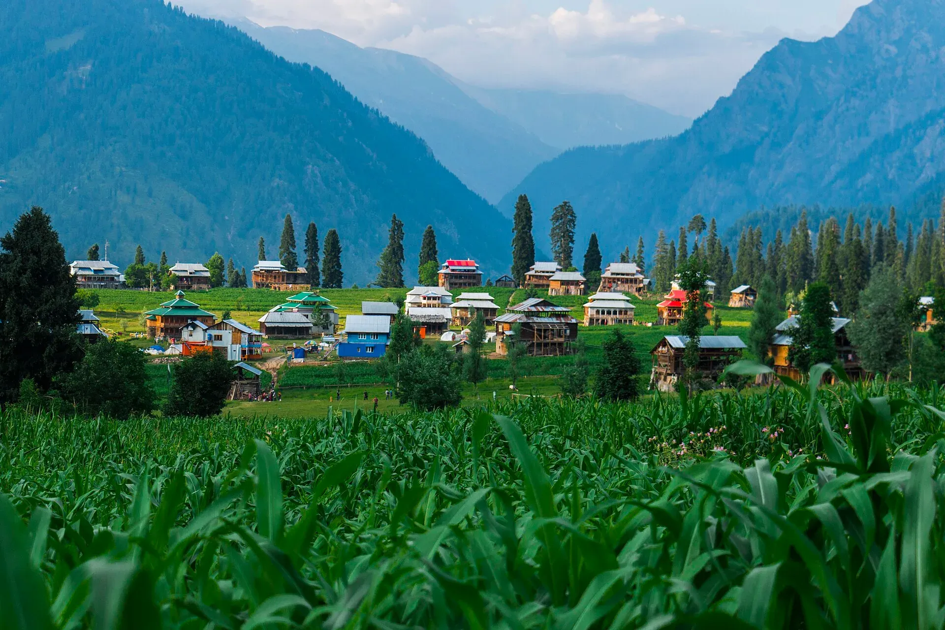
A hilltop village and meadow at about 2,554 m above Kel in the Neelum Valley, reached by a chairlift across the river and a steep walk.
Overview
Arang Kel is a small village and meadow on a hilltop above Kel in the Neelum Valley, Azad Jammu and Kashmir. Wikipedia gives its altitude as 2,554 m. Wooden houses and summer pasture sit above the pine forest, with views over the valley. The hike itself has its own page; this page covers the place.
Plan your visit
- Nearest town
- Kel
- Getting there
Drive up the Neelum Valley from Muzaffarabad via Sharda to Kel (OSRM about 145 km, 2 hours 45 minutes, optimistic; many reports say 7 to 9 hours). At Kel take the chairlift across the river, then walk up. More
Best months
Jun – Oct
- Arang Kel
- Related places nearby: Neelum Valley, Shounter Lake, Sharda, Taobat, Upper Neelum (viewpoint above Kel)
The valley below
Arang Kel belongs to the Neelum Valley, a river valley that runs from the Gurez side down to Muzaffarabad, where the Neelum River joins the Jhelum. Wikipedia gives the valley floor as ranging from 1,200 m to 2,300 m, with peaks up to 5,200 m. The Line of Control runs through the valley, and several villages on the left bank lie on the Indian side.
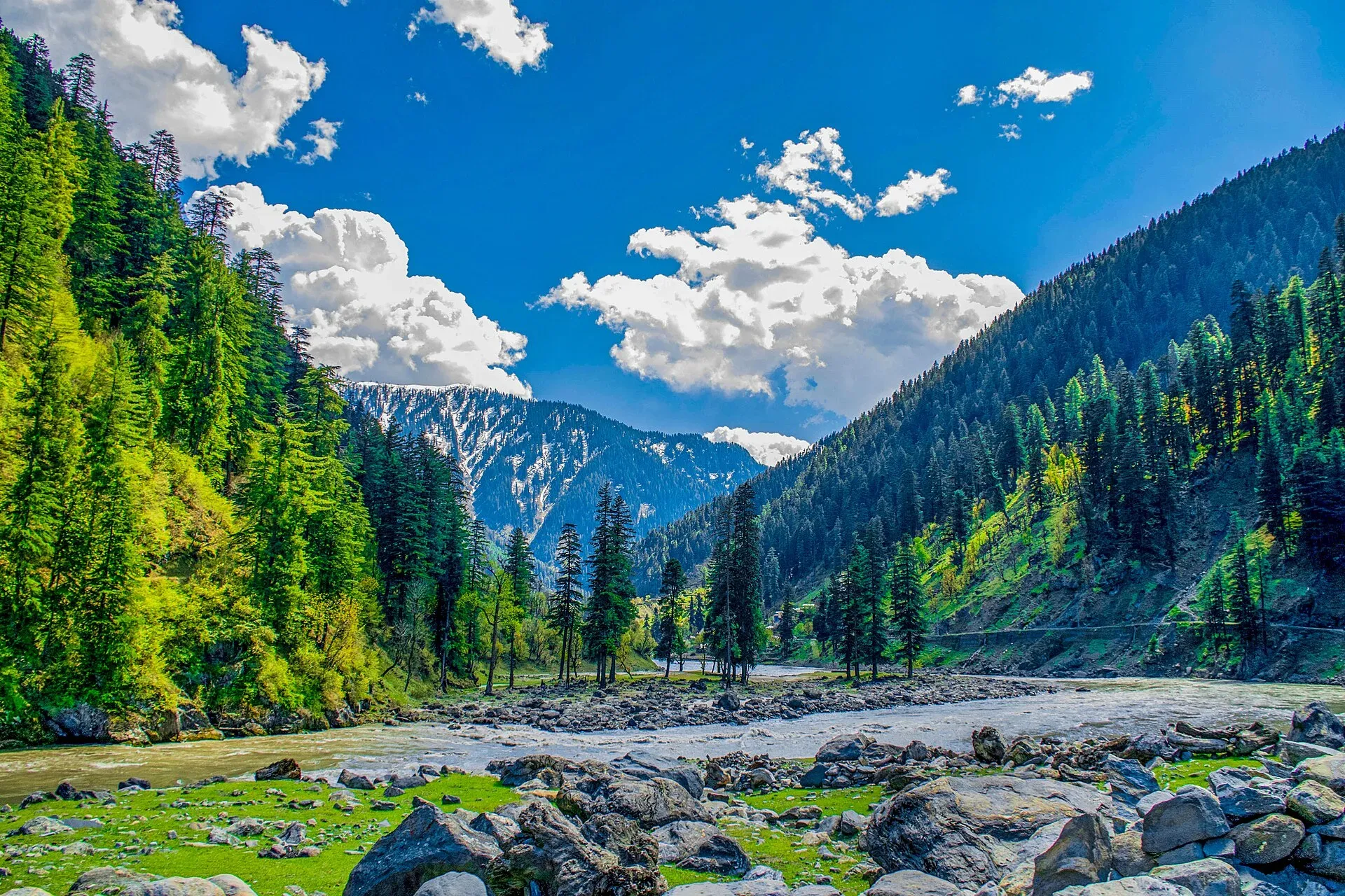
Photo: Umar Jamshaid, with thanks · CC BY-SA 3.0 · via Wikimedia Commons · temporary stand-in photo

Hindko is the most widely used language in the valley, followed by Kashmiri. Gujari, two varieties of Shina and a Pashto dialect are also spoken, and Urdu is the official language. The valley relies on subsistence farming and handicrafts, and tourism is growing in importance. Wikipedia names Pahari and Gujjar people, with Kashmiris, as the three major groups.
What to see and do
- The meadow and village. Open grass among traditional wooden houses. Local families graze animals in summer.
- The approach. The usual route is a chairlift across the Neelum River at Kel, then a steep climb on steps and dirt paths. Walking the whole way from Kel takes roughly one and a half to three hours (blog estimates); the walk from the chairlift is about 30 to 60 minutes.
- Views. Wooded ridges and the river far below. Mornings are clearest.
- Overnight stay. Simple guesthouses and tents let you see sunset and sunrise.
When to visit
May to October is a reasonable estimate. Snow covers the village in winter and landslides can close the road to Kel. Monsoon rain makes the path slippery.
Where to stay and eat
Arang Kel has basic guesthouses and tent camps run by local families; there is more choice at Kel below, where Wikipedia says private hotels and a rest house run by the AJK Tourism and Archaeology Department are available (Kel stands at about 2,097 m). Kel also has a bank branch, degree colleges for boys and girls, a tehsil headquarters hospital and a bazaar. Buses run daily between Muzaffarabad and Kel, and a bus service also runs from Rawalpindi to Kel; confirm times locally. Food is simple. Bring cash, as there are few ATMs. Chairlift, guesthouse and camping charges are not confirmed by an official source; current fees will be added soon.
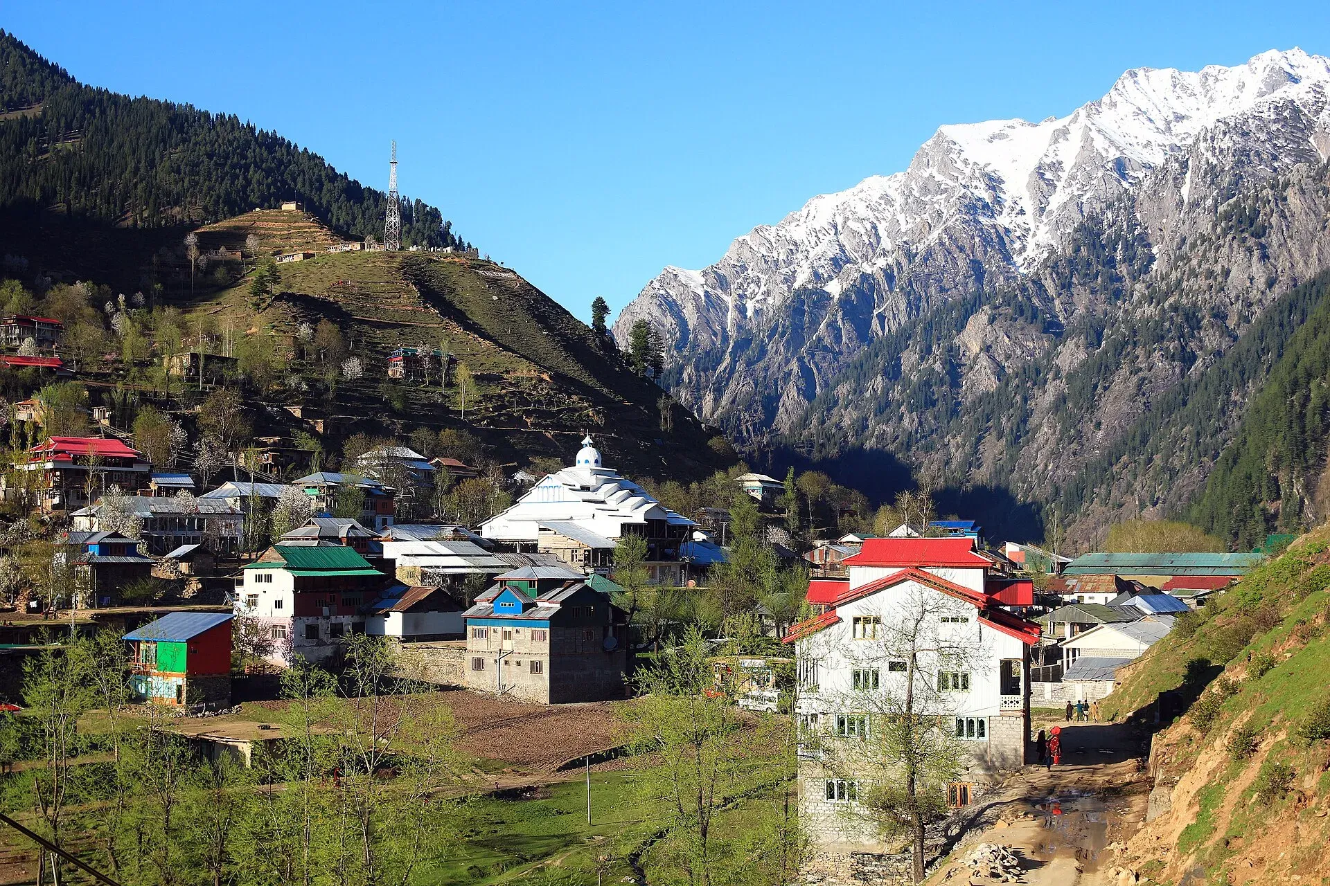
Photo: Furqanlw, with thanks · CC BY-SA 4.0 · via Wikimedia Commons · temporary stand-in photo

Good to know
- Ask the district administration or local police about current conditions before you go. Travel advice. For foreign visitors: the UK FCDO (updated 27 October 2026, checked 17 November 2026) advises against all but essential travel to Azad Jammu and Kashmir, and against all travel within 10 miles of the Line of Control. Kel lies in the upper Neelum Valley close to that line. Read the page and ask the local administration before going.
- Respect. Dress modestly, ask before photographing homes or people, and follow local guidance near the border.
- Road. The drive from Muzaffarabad is long: OSRM gives about 145 km and 2 hours 45 minutes, optimistic, and reports suggest much longer.
- Signal. Mobile coverage may be poor.
Highlights
- About 2,554 m above Kel
- Chairlift over the river, then a steep walk
- Wooden houses and summer pasture
- Overnight guesthouses and tents
Getting there
Drive up the Neelum Valley from Muzaffarabad via Sharda to Kel (OSRM about 145 km, 2 hours 45 minutes, optimistic; many reports say 7 to 9 hours). At Kel take the chairlift across the river, then walk up.
Tips
- Start early to avoid afternoon cloud.
- Wear shoes with grip; the path is steep and can be wet.
- Carry cash for Kel and Arang Kel.
Photos we still need: the chairlift and the climb from Kel to the village; guesthouses or tent camps at Arang Kel. Send us yours
Sources and last checked
Last checked Confidence medium7 sources5 still to check
- Last checked
- Method
- Desk research from published sources
- Confidence
- medium
- Checked by
- trek.pk research team
Researched from published sources; not yet checked on the ground by our team. Spot something out of date? Report a mistake.
Sources
- Arang Kel · Wikipedia · checked
- A tourist guide to Arang Kel · Graana · checked
- Pakistan Tourism Guide 2021 · TDAP (Trade Development Authority of Pakistan) · checked
- Pakistan travel advice (warnings and insurance; updated 27 October 2026) · UK Foreign, Commonwealth & Development Office · checked
- OSRM driving route service (distances and times, measured 16 November 2026; times are optimistic) · OSRM · checked
- Kel, Azad Kashmir · Wikipedia · checked
- Neelum Valley · Wikipedia · checked
Still to be checked on the ground (5)
- Chairlift operating times and charges (no official source found)
- Walking times (blog estimates only)
- Distance from the Line of Control (no figure found; the village is in the Neelum Valley, where the line runs through the valley)
- Whether Arang Kel itself has guesthouses and tents this season
- Whether the daily Muzaffarabad to Kel bus service (Wikipedia) still runs
Nearby and related

Arang Kel Trail

Neelum Valley
A long, forested river valley in Azad Kashmir running north-east from Muzaffarabad to Sharda, Kel and Arang Kel. It runs close to the Line of Control, so check access before you go.

Shounter Lake
A glacial lake at about 3,100 m in the remote Shounter valley above Kel in Neelum. A rough jeep track from Kel is followed by a hike.

Muzaffarabad
The capital of Azad Jammu and Kashmir, at 737 m where the Neelum and Jhelum rivers meet. It is the gateway to the Neelum Valley and a rebuilt city after the 2005 earthquake.

Sharda
A small town in the upper Neelum Valley of Azad Kashmir at about 1,981 m, known for the ruins of the Sharada Peeth temple site. It is close to the Line of Control, and official travel advice is strict.

Taobat
The last village station in the Neelum Valley of Azad Kashmir at about 2,300 m, reached on a rough road from Kel. It is right beside the Line of Control, and official travel advice is strict.

Upper Neelum (viewpoint above Kel)
A village and viewpoint area in the upper Neelum Valley above Kel, Azad Kashmir, very close to the Line of Control. Little is documented; foreign visitors are advised against travel within 10 miles of the line.

Neelum Valley
A 4-5 day road trip from Islamabad to Muzaffarabad and up the Neelum River by Athmuqam, Keran, Sharda and Kel, about 275 km, with a jeep track beyond Kel. Check current advice: the valley runs close to the Line of Control.